The 19 Most Amazing Peaks around Vöhrenbach
Best mountain peaks around Vöhrenbach are found within the picturesque landscape of the Black Forest. This region offers a variety of mountain peaks and viewpoints, providing opportunities for hiking and panoramic vistas. Vöhrenbach itself is situated in the upper valley of the river Breg, approximately 800 meters above sea level. The area features diverse trails catering to different fitness levels, making it suitable for exploring its natural beauty.
Best mountain peaks around Vöhrenbach
- The most popular mountain peaks is Hochfirst…
Last updated: October 9, 2026
Hochfirst Tower and Hochfirst Mountain Inn
Highlight • Viewpoint
Translated by Google •
Tip by

Brend Tower
Highlight • Viewpoint
Translated by Google •
Tip by

Sign up now to discover places like this
Get recommendations on the best single tracks, peaks, & plenty of other exciting outdoor places.
View towards Breitnau from Weißtannenhöhe
Highlight • Viewpoint
Translated by Google •
Tip by
Fürsatzhöhe (1,077 m)
Highlight • Summit
Translated by Google •
Tip by

Magdalenenberg Oak
Highlight • Natural Monument
Translated by Google •
Tip by

Sign up for free to discover even more peaks around Vöhrenbach.
Already have an account?
Start today with a free account
Your next adventure awaits.
Popular around Vöhrenbach
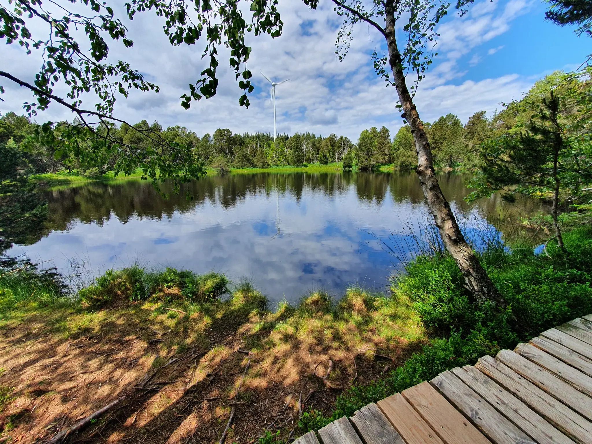
Hike the WasserWeltenSteig – Waterfalls, lakes and rivers of the Black Forest
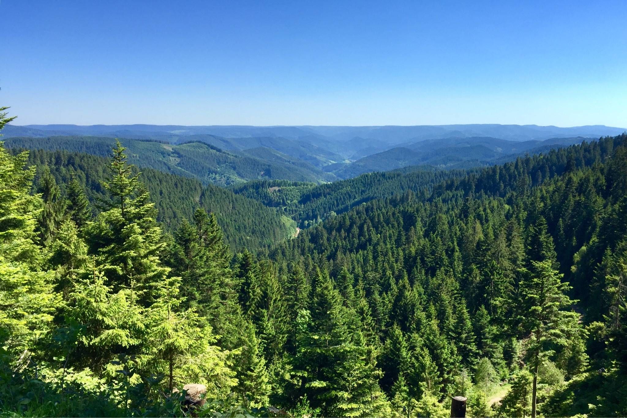
Westweg – Deep forests and bright heights through the Black Forest
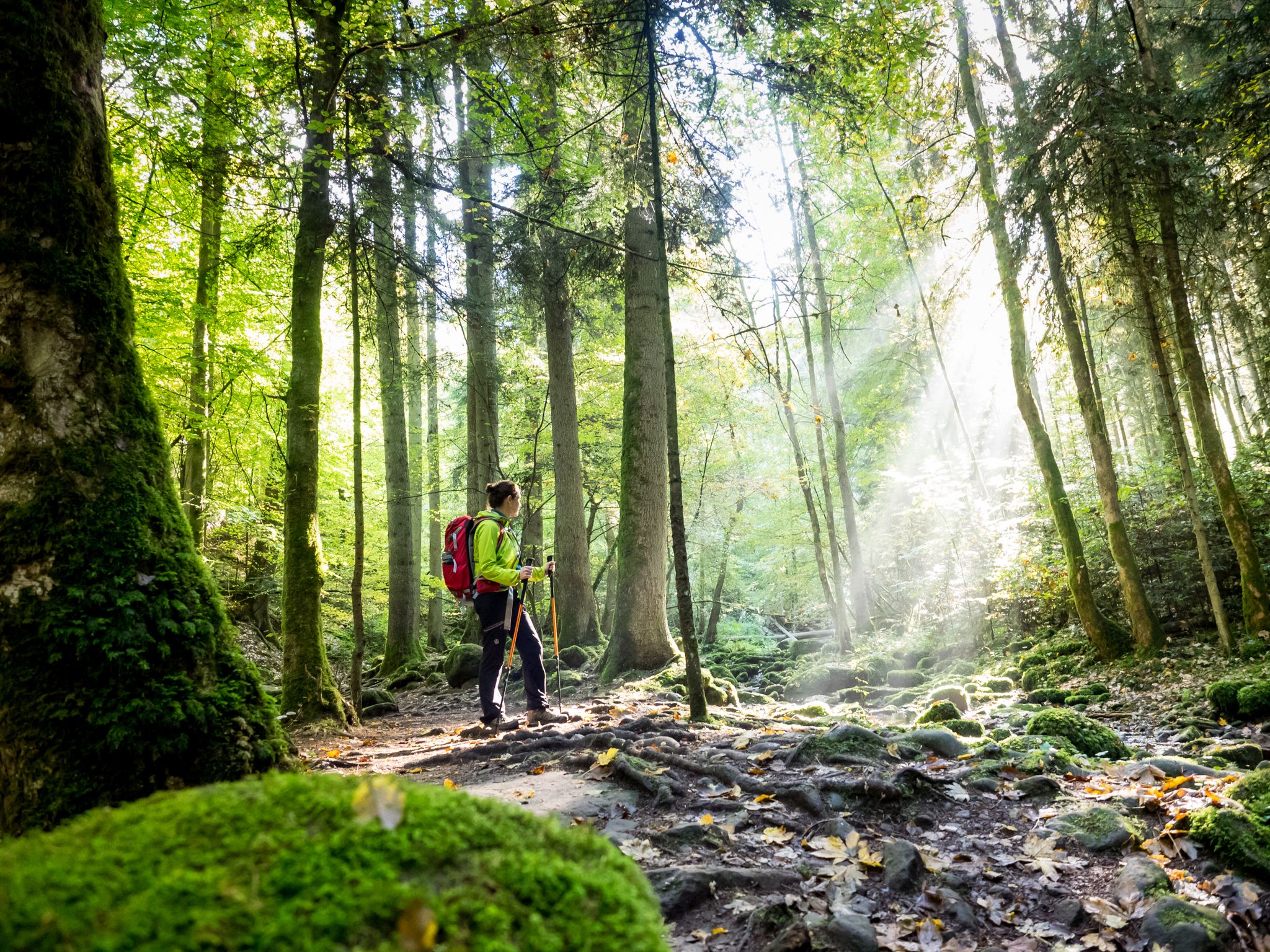
Far from the hustle and bustle – Hidden Trails in the Black Forest
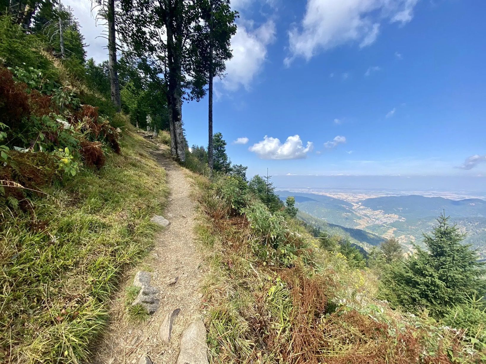
Three days Trailrunning on the Westweg
The Mittelweg of the Black Forest Association
Hiking the Westweg in the Black Forest – Germany’s first long-distance trail
Hiking around Vöhrenbach
Cycling around Vöhrenbach
Road Cycling Routes around Vöhrenbach
MTB Trails around Vöhrenbach
Other adventures around Vöhrenbach


Tips from the Community

From the Fürsatzhöhe, both the Hofgaststätte Strauß and the Gasthaus Heiligenbrunnen are easily accessible on foot via tarred roads
0
0

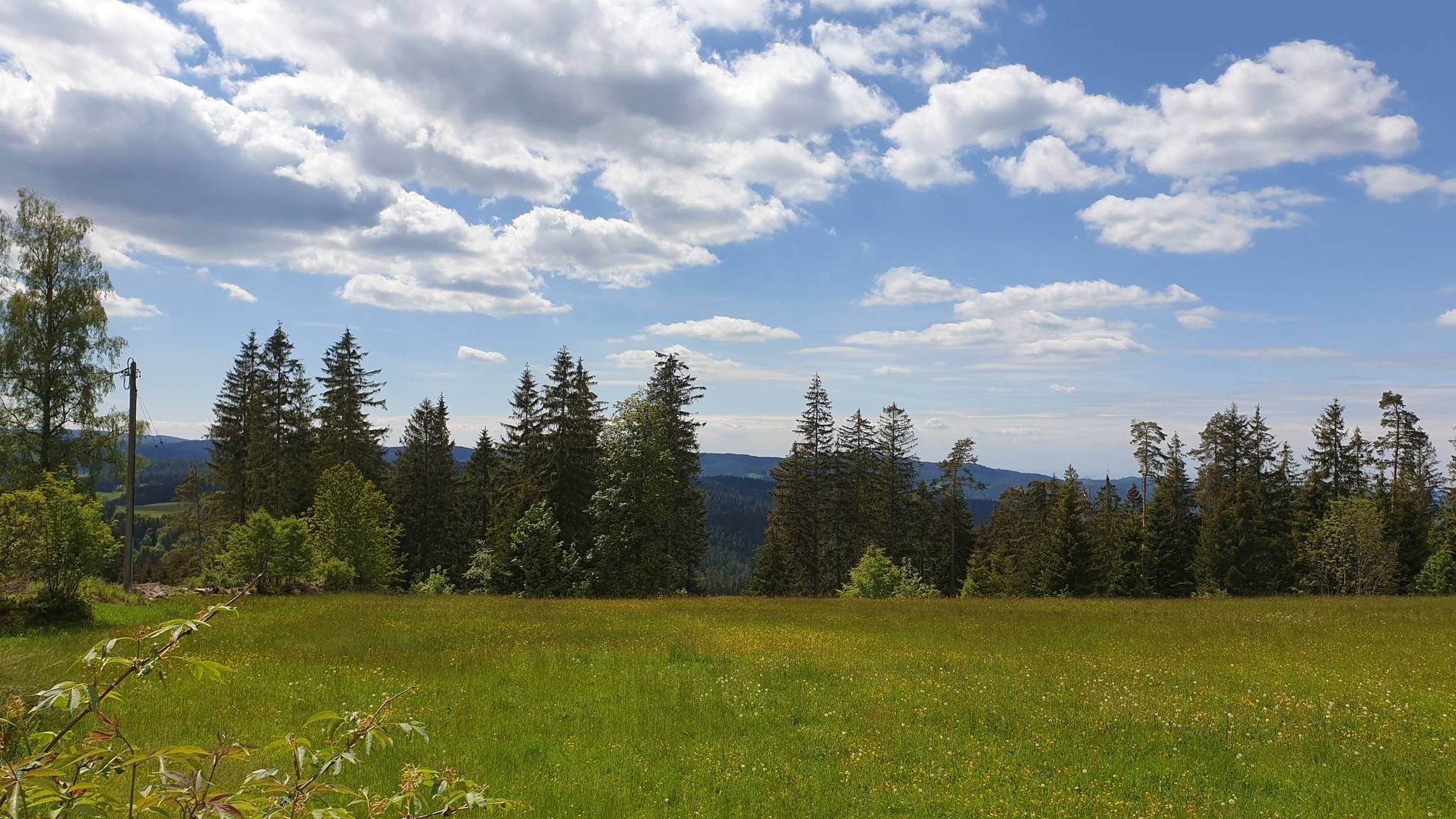
Beautiful views in all directions: whether of the Feldberg (still covered in snow in April), down to the Rhine, or as far as the Vosges Mountains. In between, lush green meadows, scattered old farmhouses, and small streams meandering down into the Höllental valley.
0
0
"South Swede" is right, the summit itself isn't worth it. Better are the bench at the "View to Breitnau" and the subsequent views on the path down into the valley (feel free to turn around every now and then to enjoy the view on the way uphill).
1
0

Secondary summit to Weißtannenhöhe.
0
2
Forest peaks with no view. still a very nice place.
1
0

Unknown, but a wonderful Black Forest summit, fantastic view, wonderful 😍
1
0

There is no view at all from the top of the Weißtannenhöhe, but a few meters further on there is a view of Breitnau, which is slowly becoming overgrown!
3
0

You can't get enough of seeing each other.
1
0
Frequently Asked Questions
Which mountain peaks and viewpoints offer the best panoramic views around Vöhrenbach?
For expansive panoramic views, consider visiting the Hochfirst Tower and Hochfirst Mountain Inn, where the Hochfirstturm observation tower provides rewarding vistas. Another excellent choice is the Brend Tower, a 17-meter-high observation tower from which you can see significant peaks like Feldberg and, on clear days, even the Swiss Alps.
Are there any family-friendly mountain peaks or viewpoints suitable for children?
Yes, both the Hochfirst Tower and Hochfirst Mountain Inn and the Brend Tower are categorized as family-friendly. The Magdalenenberg Oak, a natural monument and historical site, also offers a nice place to rest with great views, making it suitable for families.
What are some of the highest mountain peaks in the Vöhrenbach region?
The Weißtannenhöhe, at 1,190 meters, is the highest mountain in the Breitnau region. The Fürsatzhöhe (1,077 m) is also a significant elevation for the central Black Forest, offering views towards the Feldberg. The Brend, at almost 1,150 meters, is another prominent peak.
Can I bring my dog to the mountain trails and peaks around Vöhrenbach?
Yes, several mountain peaks and viewpoints in the area are dog-friendly. Both the Hochfirst Tower and Hochfirst Mountain Inn and the Brend Tower are listed as dog-friendly, allowing you to enjoy the trails and views with your canine companion.
What natural features can I explore on the mountain peaks around Vöhrenbach?
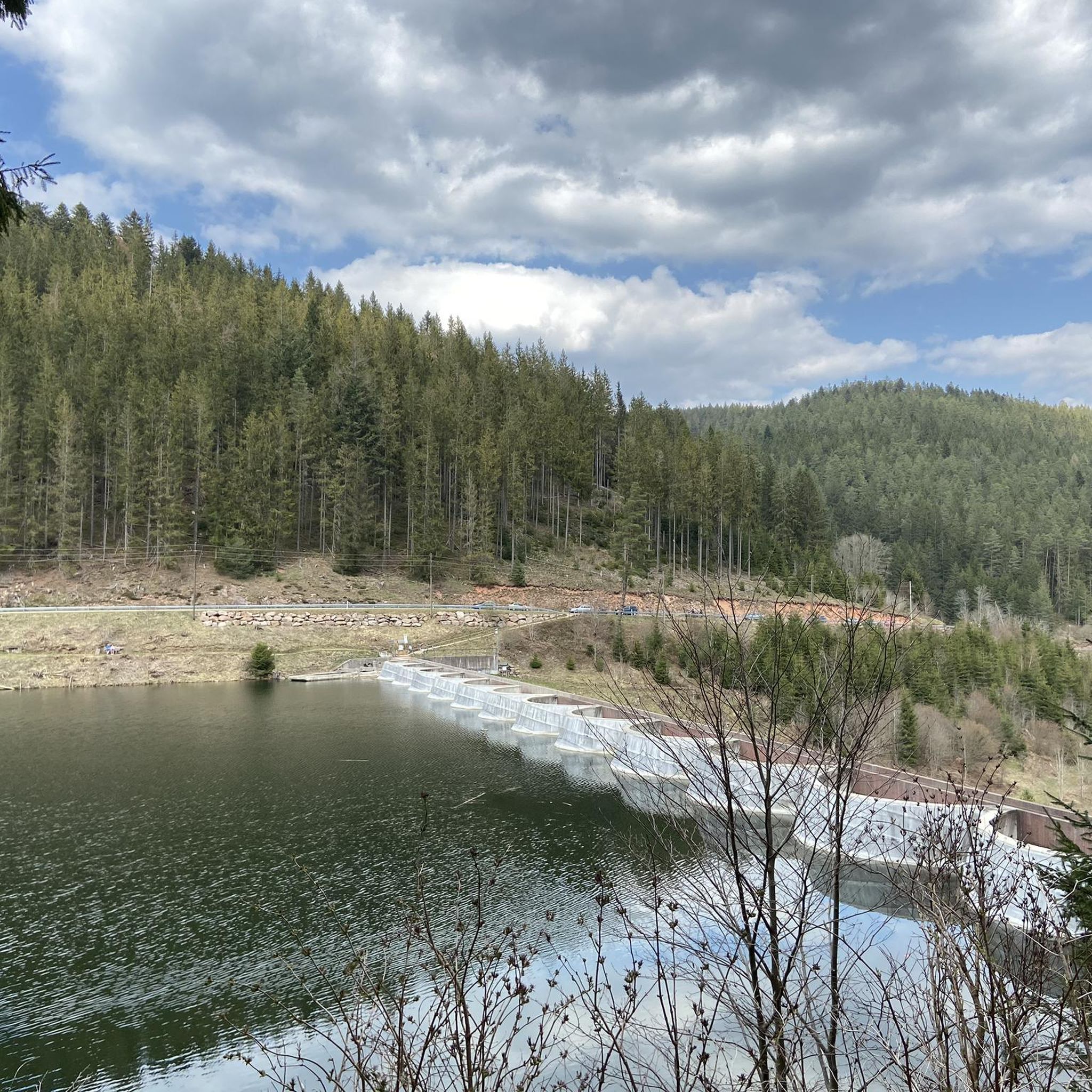
Beyond the peaks themselves, you can explore diverse natural elements. The Weißtannenhöhe is densely covered with spruce and beech trees, and its western side features numerous springs feeding the Ödenbach. The region also offers views of the Höllental valley and includes the impressive Linach Dam as part of scenic loops.
Are there any historical sites or natural monuments among the peaks?
Yes, the Magdalenenberg Oak is a notable natural monument and historical site, recognized as a Celtic burial mound. Additionally, the observation towers like the Hochfirstturm and Brendturm, while man-made, have become significant landmarks in the region's history.
What kind of hiking opportunities are available near the mountain peaks?
The Vöhrenbach area offers a variety of hiking opportunities. You can find numerous trails, including challenging routes like the 19 km Linach-Urach loop, which connects three idyllic valleys. For more options, explore the dedicated guide for Hiking around Vöhrenbach.
Are there options for road cycling near the mountain peaks?
Yes, the region provides excellent road cycling routes. You can find routes like the Linachtalsperre Dam loop, which varies in distance and difficulty. For a comprehensive overview, check out the Road Cycling Routes around Vöhrenbach guide.
Where can I find food or refreshments near the mountain peaks?
The Hochfirst Tower and Hochfirst Mountain Inn features an adjacent restaurant where you can purchase tickets for the tower and enjoy a meal. The Brend also has a hut and restaurant nearby, providing options for refreshments after your ascent.
What do visitors enjoy most about the mountain peaks around Vöhrenbach?
Visitors consistently praise the incredible long-distance views, especially from observation towers like the Brendturm, which can offer glimpses of the Swiss Alps on clear days. The sense of being at 'Alpine height' from peaks like Fürsatzhöhe, and the well-maintained trails through natural beauty, are also highly appreciated.
Are there any less crowded mountain viewpoints or trails in the area?
While popular spots like Hochfirst and Brend attract many visitors, exploring trails leading to points like Weißtannenhöhe or the various routes around the Linach Dam can offer a more tranquil experience. These areas provide stunning scenery without the same level of foot traffic.
What is the best time of year to visit the mountain peaks in Vöhrenbach?
The region is beautiful year-round, but late spring through early autumn (May to October) generally offers the most favorable weather for hiking and enjoying the panoramic views. During these months, trails are typically clear, and the lush Black Forest scenery is at its peak. Some observation towers, like the Brendturm, may be closed in winter.
Most popular routes around Vöhrenbach
Most popular attractions around Vöhrenbach

Get inspired with the komoot mobile app


Explore more
See even more amazing summits around Vöhrenbach with these guides:
