The best mountain hikes around Vöhrenbach
4
hikers
3
hikes
Mountaineering routes around Vöhrenbach are situated in the central Black Forest, characterized by dense woodlands, significant elevation changes, and picturesque valleys. The region, at approximately 800 meters above sea level, offers varied terrain suitable for challenging mountain hikes. It is part of the Southern Black Forest nature reserve, featuring high points and extensive trail networks.
Best mountaineering routes around Vöhrenbach
- The most popular mountaineering route is Wildgutach Waterfall – Hintereck Hut loop from Gütenbach, a 7.8 miles (12.6 km)…
Last updated: July 7, 2026
2
hikers
7.79km
02:09
130m
130m
Moderate mountaineering route. Good fitness required. Easily-accessible paths. Suitable for all skill levels.
1
hikers
4.95km
02:16
360m
360m
Moderate mountaineering route. Good fitness required. Mostly accessible paths. Sure-footedness required.

Sign up for free
1
hikers
Moderate mountaineering route. Good fitness required. Easily-accessible paths. Suitable for all skill levels.
Our route recommendations are based on thousands of hikes, rides, and runs completed by other people on komoot.
Start today with a free account
Your next adventure awaits.
Login or Signup
Popular around Vöhrenbach
Hike the WasserWeltenSteig – Waterfalls, lakes and rivers of the Black Forest
Westweg – Deep forests and bright heights through the Black Forest
Far from the hustle and bustle – Hidden Trails in the Black Forest
Three days Trailrunning on the Westweg
The Mittelweg of the Black Forest Association
Hiking the Westweg in the Black Forest – Germany’s first long-distance trail
Hiking around Vöhrenbach
Cycling around Vöhrenbach
Road Cycling Routes around Vöhrenbach
MTB Trails around Vöhrenbach
Other adventures around Vöhrenbach


Tips from the Community

Unfortunately, the Hintereck is temporarily closed.
0
0

Hut closed from the end of 2025
0
0

Small shelter here, solid wooden floor.
0
0

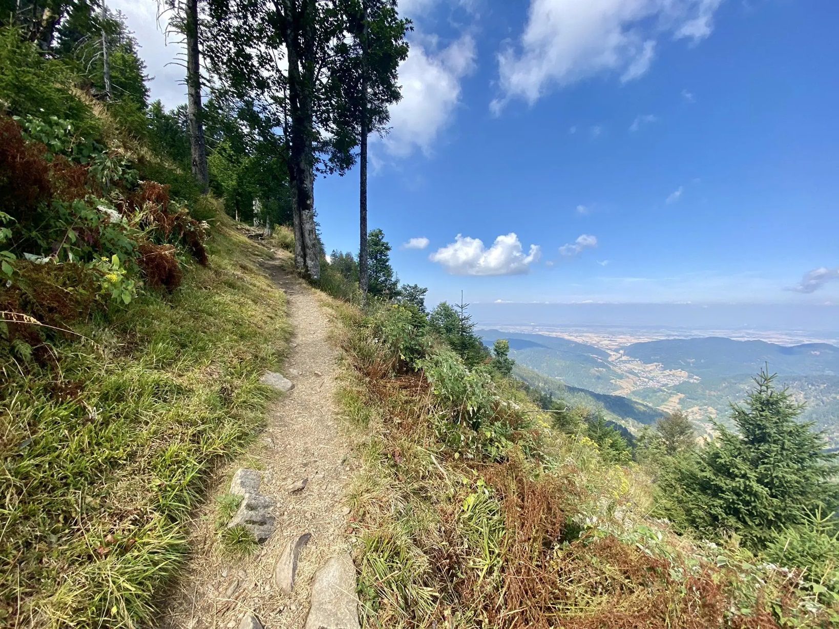
The path is actually a typical trail, located on the slope. You even have to complete small climbing sections.
0
0
The Hintereck-Hütte has been closed since October 2025 due to a lack of tenants, but there is a drinks station with reasonable prices and a fountain in front of it. I would avoid the descent on the Wäldersteig to the parking lot when it's wet.
0
0

A cozy place that invites you to linger on the bench.
0
0

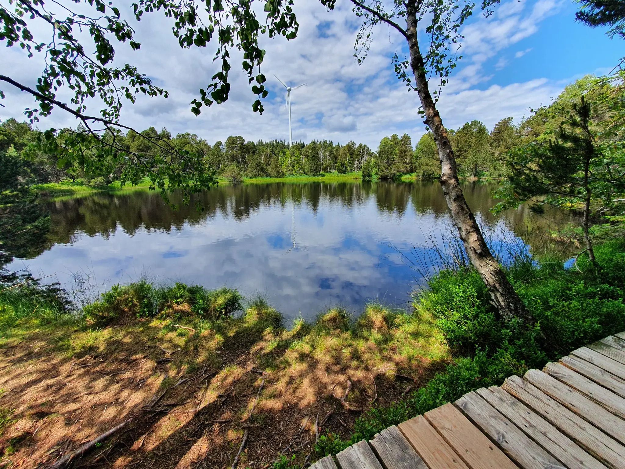
Great rest area in front of the boardwalk
0
0
Frequently Asked Questions
How many mountaineering routes are available around Vöhrenbach?
There are 5 dedicated mountaineering routes around Vöhrenbach, all rated as moderate in difficulty. These trails offer a diverse experience through the central Black Forest.
What kind of terrain should I expect on mountaineering routes in Vöhrenbach?
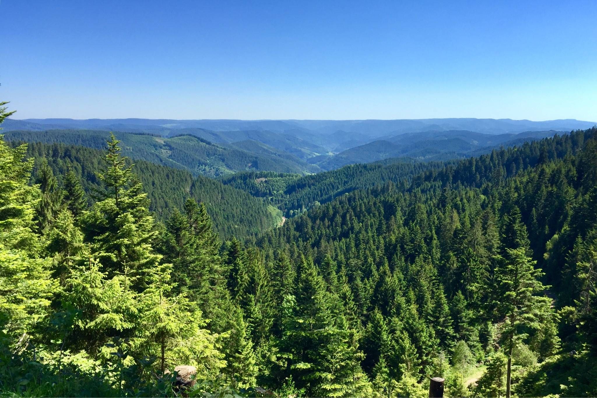
The mountaineering routes around Vöhrenbach are characterized by dense woodlands and significant elevation changes. You'll traverse varied terrain, from deep coniferous forests to elevated sections offering expansive views, typical of the Black Forest-Baar district.
Are there any routes that feature waterfalls?
Yes, the region is rich in water features. The Wildgutach Waterfall – Hintereck Hut loop from Gütenbach specifically features waterfalls and dense Black Forest landscapes. Additionally, the wider area boasts the spectacular Wutach Gorge Trail and the Zweribach Waterfalls.
What are some notable natural landmarks or viewpoints along the routes?
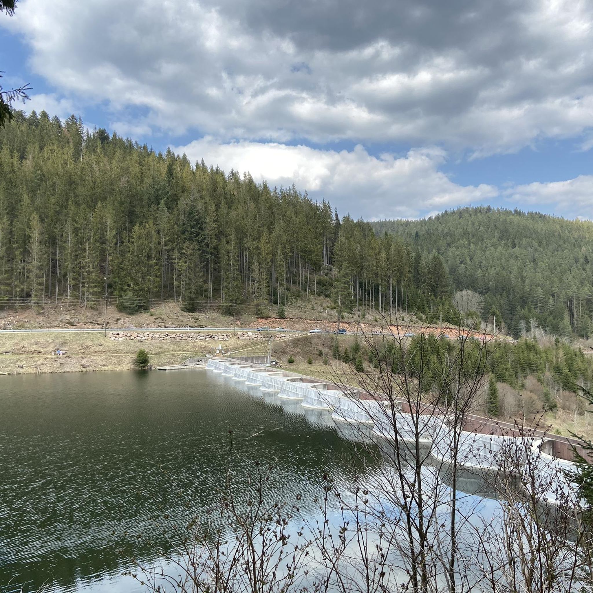
Beyond the trails themselves, the region offers several impressive natural features. You can explore the mystical Blindensee, a legendary lake in a hilly moorland, which is part of the Schönwälder Urhüttle – Blindensee loop from Schönwald im Schwarzwald. Other highlights in the broader area include the Linachtalsperre (Linach Dam) and various mountain passes like Spirzen Pass and Escheck Pass Summit.
Are there any circular mountaineering routes in the area?
Absolutely, all the mountaineering routes listed are circular. For example, the Uhufelsen loop from Tannenhöhe and the Uhufelsen – Germanswald loop from Mönchweiler both offer engaging circular experiences through woodlands and elevated sections.
What is the best time of year for mountaineering in Vöhrenbach?
Spring and autumn are generally considered the best seasons for mountaineering in Vöhrenbach. Spring brings blossoming nature, while autumn offers stunning golden foliage, making for picturesque scenery. The trails are well-maintained and enjoyable during these periods.
Are the mountaineering routes around Vöhrenbach suitable for families?
While the listed mountaineering routes are moderate and require good fitness, the broader Vöhrenbach area offers family-friendly options. For instance, the 'Bear Trail' and 'Waldmännleweg' are theme trails designed to engage children with local flora and fauna, providing a less strenuous alternative for families.
What do other mountaineers enjoy most about the routes in Vöhrenbach?
The mountaineering routes in Vöhrenbach are highly rated by the komoot community, with an average score of 5.0 stars. Reviewers often praise the diverse terrain, the beauty of the dense Black Forest landscapes, and the rewarding elevation changes.
Is there a shorter mountaineering route for a quicker outing?
Yes, if you're looking for a shorter mountaineering experience, the Hintereck Hut – Wildsaupfad Trail loop from Gütenbach is a good option. It covers approximately 4.9 miles (7.9 km) and still offers significant elevation gain, making it a rewarding shorter hike.
What is the typical difficulty level of mountaineering routes in Vöhrenbach?
All the mountaineering routes featured in this guide are classified as moderate. They involve significant elevation changes and varied terrain, requiring good fitness and sturdy footwear, but do not typically demand technical alpine experience.
Can I access these mountaineering routes using public transport?
Vöhrenbach is integrated into the public transport network of the Black Forest. While specific starting points for each route may vary in accessibility, the region generally offers connections that can bring you close to trailheads. It's advisable to check local bus schedules for the most convenient access to your chosen route's starting point.
Most popular routes around Vöhrenbach
Most popular attractions around Vöhrenbach

Get inspired with the komoot mobile app


Explore more
Browse the best Mountain Hikes & Routes in other regions.
