The best MTB trails in Sangolqui
4.4
(92)
303
riders
20
rides
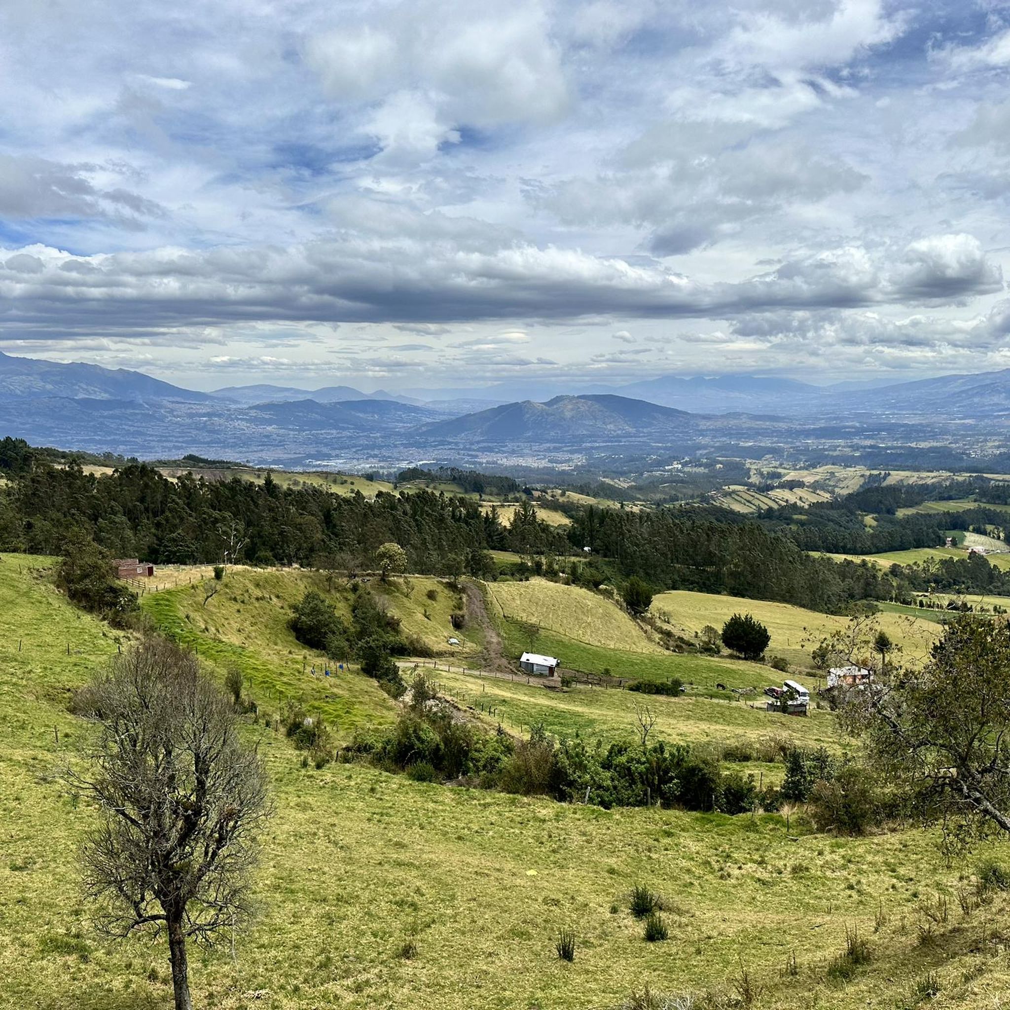
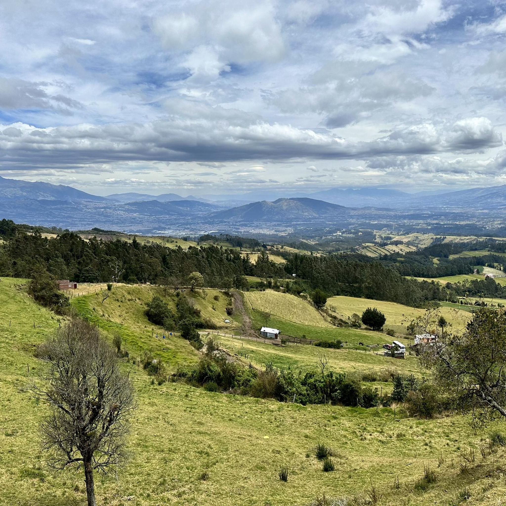
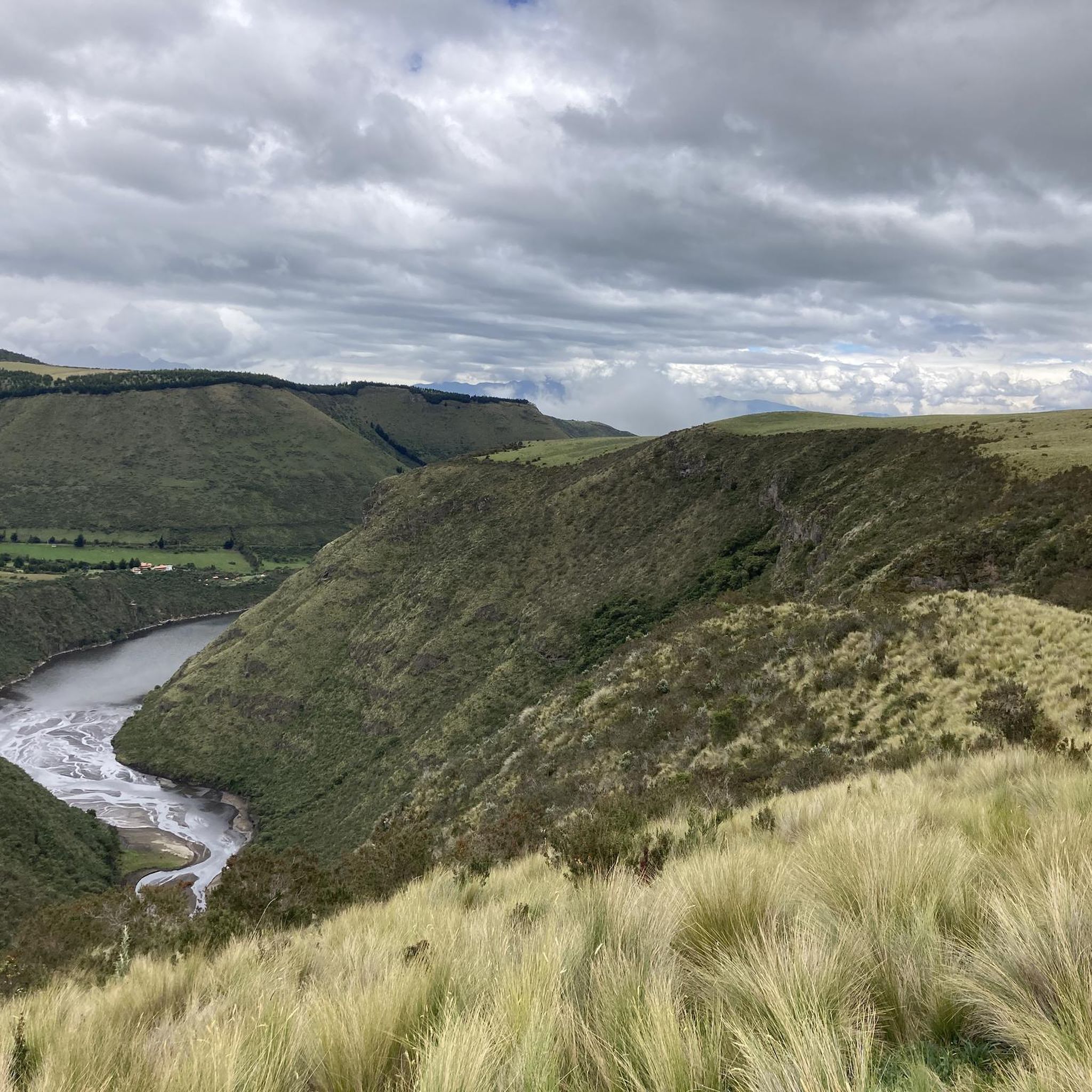
Mountain biking in Sangolqui offers diverse terrain within the picturesque Los Chillos Valley, characterized by dramatic volcanic landscapes. The region features trails around active and inactive volcanoes, high-altitude paramo, and Andean forests. Riders encounter routes composed of volcanic ash, sand, and large boulders, often with significant uphill climbs and downhill descents. Numerous waterfalls also contribute to the varied natural features found along the trails.
Best mountain bike trails in Sangolqui
- The most popular mountain bike trail is Ilaló Summit –…
Last updated: July 11, 2026
4.0
(2)
23
riders
40.7km
03:30
940m
940m
Hard mountain bike ride. Very good fitness required. Suitable for all skill levels.
4.0
(1)
12
riders
42.9km
03:33
1,140m
1,140m
Hard mountain bike ride. Very good fitness required. Suitable for all skill levels.

Sign up for free
7
riders
43.7km
03:54
1,160m
1,160m
Hard mountain bike ride. Very good fitness required. Suitable for all skill levels.
5.0
(1)
10
riders
23.7km
02:23
690m
690m
Moderate mountain bike ride. Good fitness required. Suitable for all skill levels.
4.1
(7)
5
riders
Moderate mountain bike ride. Good fitness required. Suitable for all skill levels.
Get access to more routes and recommendations from other explorers.
Sign up for free
Already have an account?
Our route recommendations are based on thousands of hikes, rides, and runs completed by other people on komoot.
Start today with a free account
Your next adventure awaits.
Login or Signup

Tips from the Community

Might be possible to sneak under the razor wire.
0
0

Excellent for cycling without the danger of cars
0
0

Frequently Asked Questions
How many mountain bike trails are available in Sangolquí?
Sangolquí offers a diverse network of over 20 mountain bike trails, catering to various skill levels. You'll find options ranging from easy routes to challenging, difficult paths through volcanic landscapes.
What kind of terrain can I expect on mountain bike trails in Sangolquí?
The terrain in Sangolquí is highly varied, featuring cobblestone and dirt roads, challenging singletrack descents, and dedicated bike park sections. Many routes traverse dramatic volcanic landscapes with surfaces composed of volcanic ash, sand, large boulders, and petrified lava. You'll also encounter Andean forests and high-altitude paramo.
Are there any easy mountain bike trails suitable for beginners or families in Sangolquí?
Yes, while many routes are challenging, Sangolquí does offer some easier mountain bike trails. Out of the over 20 available routes, 2 are classified as easy, providing a good starting point for beginners or families looking for a less strenuous ride.
What are the typical distances and elevations for mountain bike routes in Sangolquí?
Mountain bike routes in Sangolquí often feature significant uphill climbs and downhill descents. For example, the difficult Jatumpungo Viewpoint – Work House loop from Santa Cecilia covers 46.6 km with nearly 1,200 meters of elevation gain. Even moderate routes like the Paseo Santa Clara loop from Playa Chica 2 can involve around 37.3 km and nearly 400 meters of ascent.
What natural features or viewpoints can I discover along the mountain bike trails?
Sangolquí's trails offer breathtaking panoramic views, especially from high altitudes often above 12,000 feet (3,657 meters). You can expect to see dramatic volcanic landscapes, including views of Cotopaxi and Ilaló. The region also features well-preserved Andean forests, paramo highlands, and picturesque waterfalls such as Rumibosque, Molinuco, and Pita.
Are there any circular mountain bike routes in Sangolquí?
Yes, many mountain bike routes in Sangolquí are designed as loops, allowing you to start and finish in the same location. Examples include the challenging Ilaló Summit – Alangasí loop from San Rafael and the scenic San Pedro de Taboada Boulevard loop from Los Alpes.
What is the best time of year to go mountain biking in Sangolquí?
Sangolquí's location near the equator means temperatures are relatively consistent year-round. However, the region experiences wet and dry seasons. The dry season, typically from June to September, often offers more favorable conditions with less rain, making it ideal for mountain biking. High-altitude riding is possible year-round, but weather can change rapidly.
What do other mountain bikers enjoy most about the trails in Sangolquí?
The mountain bike trails in Sangolquí are highly rated by the komoot community, with an average score of 4.6 stars from over 80 reviews. Riders frequently praise the diverse terrain, the dramatic volcanic landscapes, and the challenging nature of the routes, often highlighting the panoramic views from high-altitude sections.
Are there any specific landmarks or attractions near the mountain bike trails in Sangolquí?
While many trails focus on natural beauty, Sangolquí's proximity to Quito means you can find historical and cultural landmarks. Notable attractions include the Basilica of San Francisco and the Plaza de la Independencia in Quito. Closer to the trails, you might encounter the Ilaló Cross, offering views from the Ilaló volcano.
Can I find dedicated bike parks or eco-reserves for mountain biking in the Sangolquí area?
Yes, the Sangolquí region is a gateway to several mountain biking specific locations. The Santa Rita Eco Reserve offers private mountain bike trails and camping facilities. Additionally, Algomedras Bike Park, located on the front side of the Cotopaxi Volcano, provides dedicated trails for riders seeking more structured biking experiences.
Are there options for advanced mountain bikers seeking a challenge?
Absolutely. Sangolquí is well-suited for advanced mountain bikers, with 7 of its over 20 routes classified as difficult. These trails often feature significant elevation changes, technical descents, and varied volcanic terrain. The Ilaló Loop – Pintag loop from Playa Chica 2, for instance, is a difficult 60.5 km path traversing sections with volcanic ash and sand.
What kind of volcanic landscapes can I expect to ride through?
Mountain biking tours frequently leverage the dramatic volcanic terrain around Sangolquí. Riders can experience trails around active and inactive volcanoes like Cotopaxi and Ilaló. These trails are composed of volcanic ash, sand, large boulders, and petrified lava, providing a unique and challenging riding surface. You can also find trails on extinct volcanoes like Pasochoa, which hosts a well-preserved Andean forest in its crater.
Most popular routes in Sangolqui
Most popular attractions in Sangolqui

Get inspired with the komoot mobile app


Explore more
Browse the best MTB trails in other regions.
