The best walks and hikes in Sangolqui
4.9
(10)
151
hikers
4
hikes
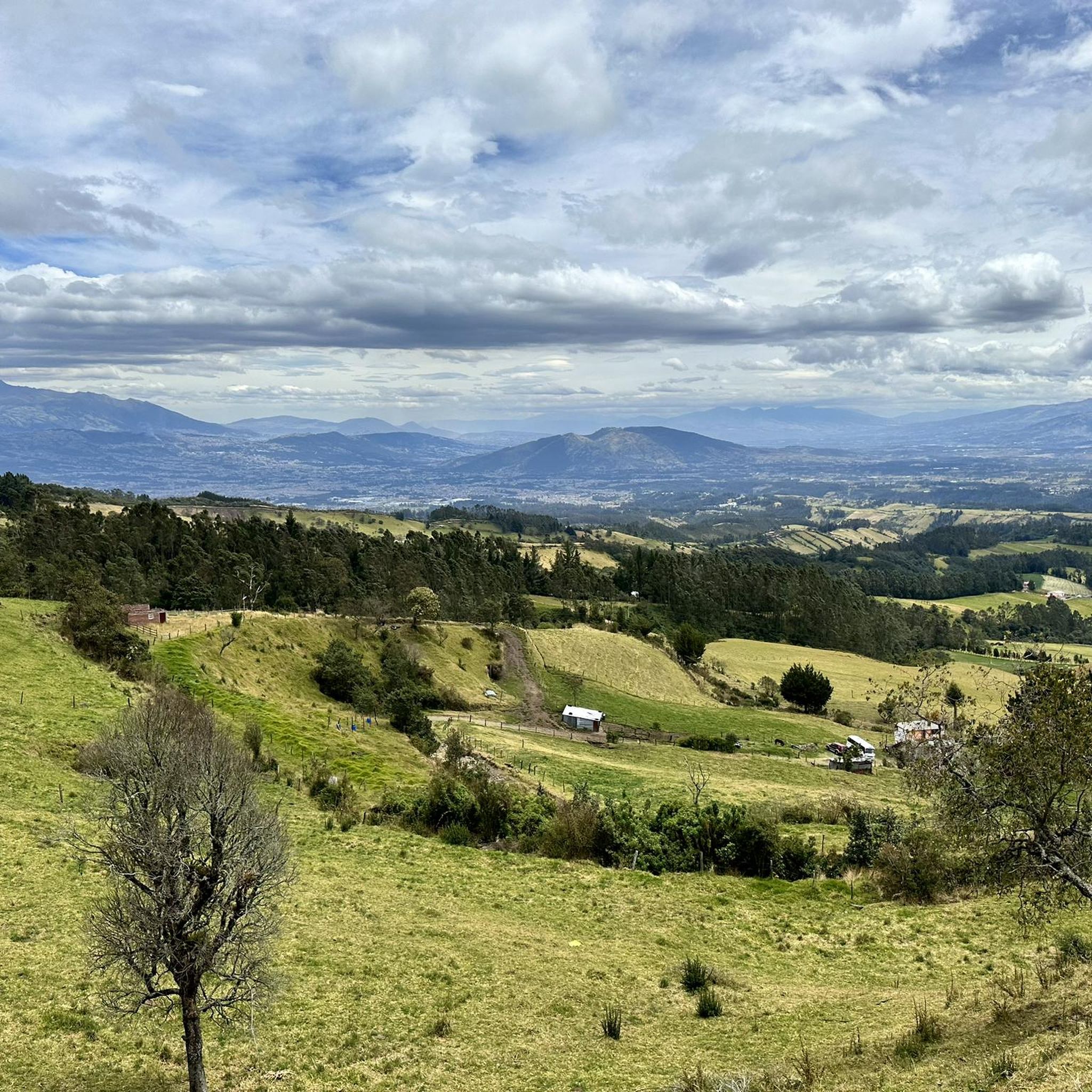
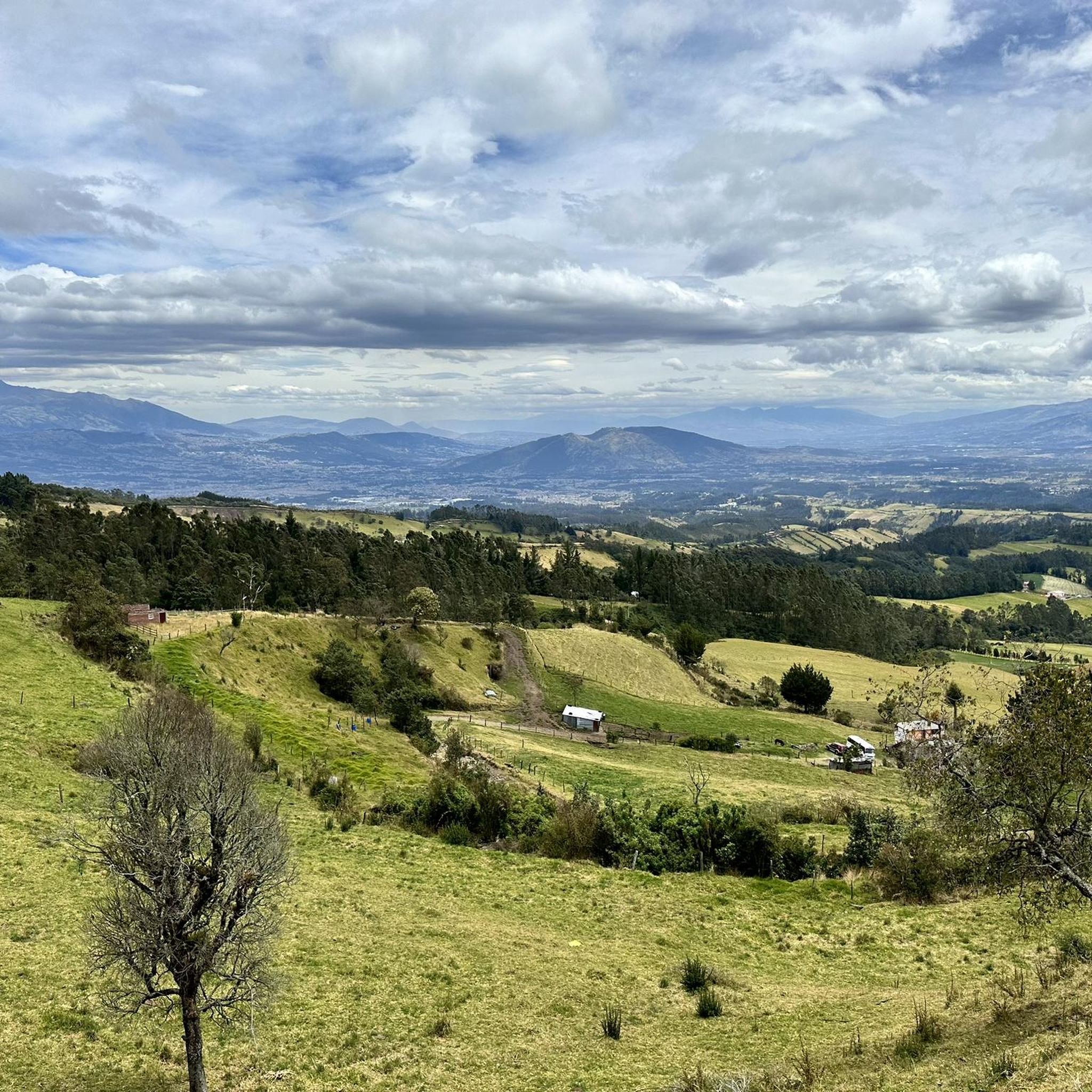
Hiking in Sangolqui, situated in the Valle de Los Chillos, presents diverse natural landscapes for outdoor exploration. The region is characterized by extinct volcanoes such as Pasochoa, featuring well-preserved craters that now cradle Andean forests. Hikers can also find numerous waterfalls, including the Pita River Waterfall and those within Molinuco, alongside varied terrain ranging from cobblestone paths to dirt trails. This area provides a blend of natural beauty and cultural heritage, with views of volcanoes like Cotopaxi and Rumiñahui.
Best hiking trails in Sangolqui
- The most popular hiking route is Paperbark Tree Forest – Summit of Pasochoa Volcano loop from Rumipamba, a difficult 9.0 miles (14.6 km) trail that takes 5 hours 1 minute to complete, featuring a significant elevation gain to the volcano summit.
- Another top favourite among local hikers is Pasochoa Volcano summit loop from Hacienda San Francisco de Pasochoa, a moderate 4.9 miles (7.9 km) path. This route involves a notable ascent to the summit of Pasochoa Volcano.
- Local hikers also love the Pasochoa Trails – Palma de Cera Trail loop from Pasochoa Ecological Reserve - Entrance & Checkpoint, a 4.7 miles (7.5 km) trail leading through the Pasochoa Ecological Reserve, often completed in about 2 hours 59 minutes.
- Hiking in Sangolqui is defined by extinct volcanoes, Andean forests, and numerous waterfalls. The network offers options for different ability levels, from moderate loops to more difficult summit ascents.
- The routes in Sangolqui are highly rated by the komoot community with an average score of 4.9 stars from 10 reviews. More than 140 hikers have used komoot to explore Sangolqui's varied terrain.
Last updated: July 11, 2026
51
hikers
14.6km
05:03
810m
810m
Hard hike. Very good fitness required. Easily-accessible paths. Suitable for all skill levels.
4.8
(4)
50
hikers
7.95km
02:57
530m
530m
Moderate hike. Good fitness required. Easily-accessible paths. Suitable for all skill levels.

Sign up for free
5.0
(4)
17
hikers
Moderate hike. Good fitness required. Easily-accessible paths. Suitable for all skill levels.
Our route recommendations are based on thousands of hikes, rides, and runs completed by other people on komoot.
Start today with a free account
Your next adventure awaits.
Login or Signup


Frequently Asked Questions
What types of landscapes can I expect to see on hikes in Sangolquí?
Hiking in Sangolquí offers a diverse range of natural landscapes. You'll encounter trails leading through Andean forests, up extinct volcanoes like Pasochoa and Ilaló, and alongside numerous waterfalls. The Valle de Los Chillos provides picturesque routes with cobblestone paths, dirt trails, and lush greenery, often featuring stunning views of iconic volcanoes such as Cotopaxi and Rumiñahui.
Are there easy or moderate hiking trails available in Sangolquí?
Yes, Sangolquí offers a good selection of moderate trails suitable for various fitness levels. For example, the Pasochoa Volcano summit loop from Hacienda San Francisco de Pasochoa is a moderate 7.9 km path with a notable ascent. Another moderate option is the Pasochoa Trails – Palma de Cera Trail loop from Pasochoa Ecological Reserve - Entrance & Checkpoint, covering 7.5 km through the reserve.
Can I find challenging hikes for experienced hikers in Sangolquí?
Absolutely. For experienced hikers seeking a challenge, the region features routes like the Paperbark Tree Forest – Summit of Pasochoa Volcano loop from Rumipamba. This difficult 14.6 km trail involves a significant 805-meter elevation gain to the volcano summit, typically taking over 5 hours to complete.
Are there hikes that feature waterfalls in Sangolquí?
The Valle de Los Chillos, where Sangolquí is located, is known for its numerous picturesque waterfalls. Notable spots include the Pita River Waterfall (Cascada del Pita), accessible via a trail near Molinuco. Molinuco itself is a hidden paradise with multiple waterfalls. You can also find 'Las Tres Cascadas' (The Three Waterfalls) in Barrio Loreto and the impressive 'Fire Waterfall' in Rumipamba Parish, a 60-meter cascade of volcanic origin.
What interesting landmarks or attractions can I explore near the hiking trails?
Beyond the natural beauty, you can explore several points of interest. The Ilaló Hill offers strategic viewpoints, including the Ilaló Cross, providing panoramic views. The Parque Metropolitano de La Armenia is an expansive recreational area rich in biodiversity. While slightly further, historical sites like the Basilica of San Francisco and the Virgin of El Panecillo in Quito are also within reach.
Are there family-friendly hiking options in Sangolquí?
While specific 'easy' family-designated routes are not detailed in the provided data, the diverse terrain of the Valle de Los Chillos and areas like Molinuco with its multiple waterfalls often offer shorter, less strenuous paths suitable for families. It's recommended to check the difficulty and length of trails to find the best fit for your family's activity level.
Are dogs allowed on hiking trails in Sangolquí?
The general policy regarding dogs on trails can vary by specific reserve or park. While many natural areas in Ecuador are dog-friendly, especially on less regulated paths, it's always best to check with local authorities or the specific reserve (e.g., Pasochoa Ecological Reserve) before bringing your dog to ensure compliance with any regulations or restrictions.
What do other hikers say about the trails in Sangolquí?
The hiking routes in Sangolquí are highly rated by the komoot community, with an impressive average score of 4.9 stars from 10 reviews. Hikers often praise the varied terrain, the stunning views of volcanoes like Cotopaxi and Rumiñahui, and the well-preserved natural environments, especially around Pasochoa Volcano.
Is parking available at the trailheads in Sangolquí?
For popular hiking areas like Pasochoa Volcano, there are often designated parking areas, such as near Hacienda San Francisco de Pasochoa or the Pasochoa Ecological Reserve entrance. For other trails, parking availability might vary, so it's advisable to research specific trailhead access points beforehand.
How can I reach the hiking areas using public transport?
Sangolquí is well-connected to Quito, and public transport options like buses are available to reach the town. From Sangolquí, local buses or taxis can often take you closer to specific hiking areas, such as the vicinity of Pasochoa Volcano or Molinuco. However, direct public transport to every trailhead might be limited, so planning the final leg of your journey is recommended.
What is the best time of year to go hiking in Sangolquí?
Sangolquí, being close to the equator, experiences two main seasons: a dry season (typically June to September) and a wet season (October to May). The dry season generally offers more stable weather conditions with less rain, making it ideal for hiking. However, even during the wet season, mornings can often be clear, with rain usually occurring in the afternoons. Always check the local weather forecast before heading out.
Are there any circular hiking routes in Sangolquí?
Yes, several routes in Sangolquí are designed as loops, allowing you to start and end at the same point. Examples include the Pasochoa Volcano summit loop from Hacienda San Francisco de Pasochoa and the Pasochoa Trails – Palma de Cera Trail loop from Pasochoa Ecological Reserve - Entrance & Checkpoint. These circular routes offer varied scenery without retracing your steps.
Most popular routes in Sangolqui
Most popular attractions in Sangolqui

Get inspired with the komoot mobile app


Explore more
Browse the best Hikes in other regions.
