The best walks and hikes in Uyumbicho
4.9
(11)
175
hikers
4
hikes
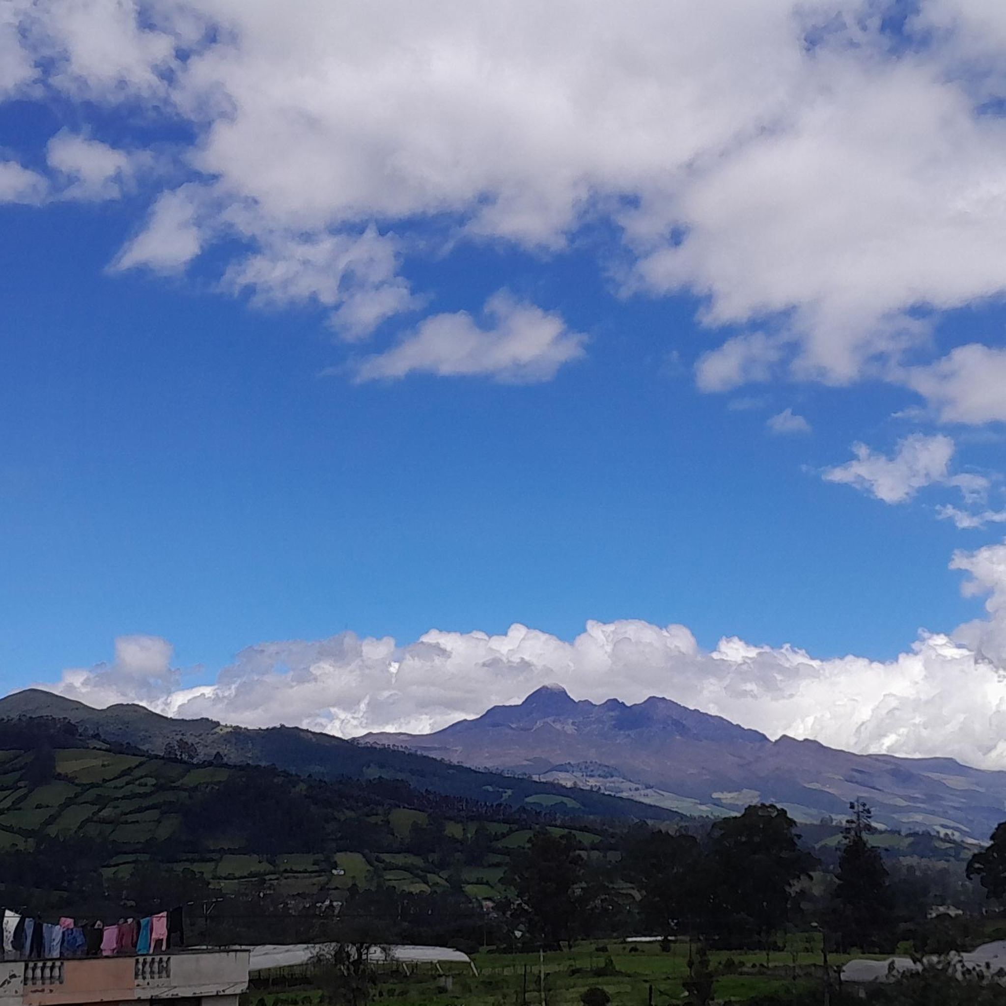
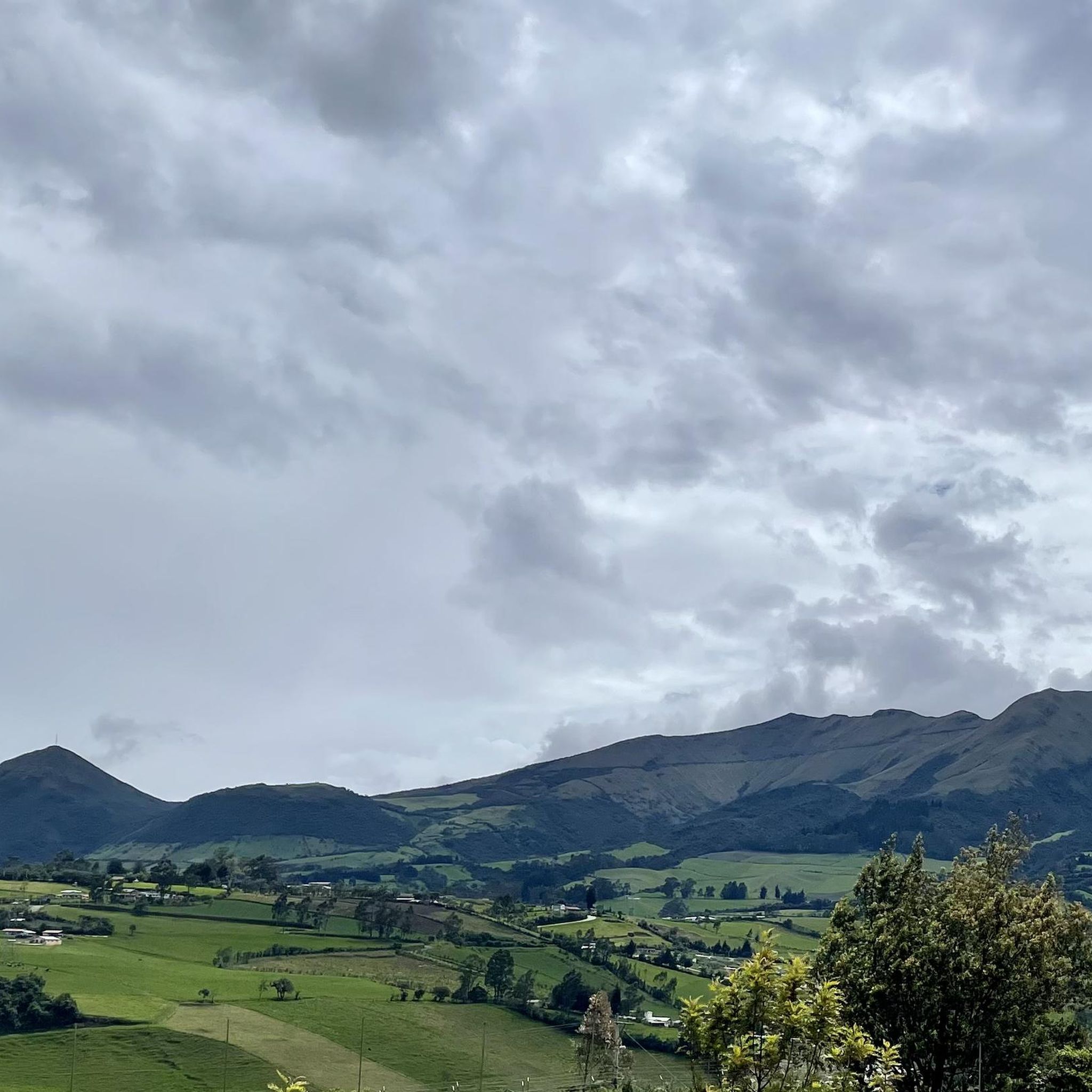
Hiking in Uyumbicho offers exploration of a landscape shaped by volcanic activity and dense Andean forest. Situated at an elevation of 9,124 feet (2,781 meters) within Ecuador's "avenue of the volcanoes," the region is characterized by the extinct Pasochoa volcano, which features a collapsed caldera now covered in forest. This area, part of the Pasochoa Wildlife Refuge, provides a diverse environment for hiking, with trails winding through lush vegetation and offering views of the surrounding volcanic peaks.
Best hiking trails…
Last updated: July 16, 2026
51
hikers
14.6km
05:03
810m
810m
Hard hike. Very good fitness required. Easily-accessible paths. Suitable for all skill levels.
4.8
(4)
50
hikers
7.95km
02:57
530m
530m
Moderate hike. Good fitness required. Easily-accessible paths. Suitable for all skill levels.

Sign up for free
5.0
(4)
17
hikers
Moderate hike. Good fitness required. Easily-accessible paths. Suitable for all skill levels.
5
hikers
3.96km
01:10
110m
110m
Easy hike. Great for any fitness level. Easily-accessible paths. Suitable for all skill levels.
5
hikers
4.36km
01:20
150m
150m
Easy hike. Great for any fitness level. Easily-accessible paths. Suitable for all skill levels.
Our route recommendations are based on thousands of hikes, rides, and runs completed by other people on komoot.
Start today with a free account
Your next adventure awaits.
Login or Signup


Frequently Asked Questions
What kind of terrain can I expect when hiking in Uyumbicho?
Hiking in Uyumbicho primarily involves volcanic landscapes and dense Andean forests. The trails are situated within the Pasochoa Wildlife Refuge, offering varied terrain that ranges from lush vegetation to the slopes of the extinct Pasochoa volcano.
Are there any easy hiking trails suitable for beginners or families in Uyumbicho?
Yes, Uyumbicho offers easier options. For instance, the Water System Trail – Columbo Swing loop from Hacienda Porvenir is an easy 4 km route with about 106 meters of elevation gain. Another gentle option is the Water System Trail loop from Hacienda Porvenir, which is 3.5 km long with approximately 77 meters of elevation gain.
What are the more challenging hiking options in Uyumbicho?
For experienced hikers seeking a challenge, the Paperbark Tree Forest – Summit of Pasochoa Volcano loop from Rumipamba is a difficult 14.6 km trail with over 800 meters of elevation gain, leading to the summit of Pasochoa Volcano.
Can I find circular hiking routes in Uyumbicho?
Many of the popular trails in Uyumbicho are designed as loops. Examples include the challenging Paperbark Tree Forest – Summit of Pasochoa Volcano loop from Rumipamba, the moderate Pasochoa Volcano summit loop from Hacienda San Francisco de Pasochoa, and the Pasochoa Trails – Palma de Cera Trail loop from Pasochoa Ecological Reserve - Entrance & Checkpoint.
What natural features or landmarks can I expect to see while hiking in Uyumbicho?
Uyumbicho is dominated by the extinct Pasochoa volcano, which features a collapsed caldera now covered by a dense Andean forest. Hikers can explore this unique volcanic landscape, enjoy the rich biodiversity of the Andean forest within the Pasochoa Wildlife Refuge, and from higher points, observe the dramatic topography and the San Pedro River, which originates from the volcano's heights.
What is the elevation of Uyumbicho and how does it affect hiking?
Uyumbicho is situated at an elevation of 2,781 meters (9,124 feet). This high altitude means that even moderate hikes can feel more strenuous, especially for those not accustomed to it. It's advisable to acclimatize and stay hydrated.
How many hiking trails are available in Uyumbicho?
There are at least 5 distinct hiking routes detailed for Uyumbicho, ranging from easy walks to difficult summit ascents, all within the unique volcanic and forest landscape of the region.
What do other hikers say about the trails in Uyumbicho?
The hiking routes in Uyumbicho are highly rated by the komoot community, with an average score of 4.8 stars from more than 10 reviews. Hikers often praise the diverse terrain, the stunning volcanic scenery, and the opportunity to explore the rich Andean forest.
Are there any specific permits required for hiking in the Pasochoa Wildlife Refuge?
The Pasochoa Wildlife Refuge, where many of Uyumbicho's trails are located, permits activities such as hiking, photography, and camping. While specific permits for day hiking are generally managed at the entrance, it's always recommended to check local regulations or with the park authority for any updated requirements before your visit.
What is the best time of year to go hiking in Uyumbicho?
As Uyumbicho is located near the equator, seasonal variations are less about temperature and more about rainfall. Generally, the drier months are preferred for hiking to avoid muddy trails and ensure clearer views of the volcanic landscapes. However, the lush Andean forest remains vibrant year-round.
Are there any moderate hiking trails that offer good views of the Pasochoa Volcano?
Yes, the Pasochoa Volcano summit loop from Hacienda San Francisco de Pasochoa is a moderate 7.9 km trail that leads through the lower slopes of the volcano, providing access to its summit area and offering excellent views. Another moderate option is the Pasochoa Trails – Palma de Cera Trail loop from Pasochoa Ecological Reserve - Entrance & Checkpoint, which takes you through the Andean forest.
Most popular routes in Uyumbicho

Get inspired with the komoot mobile app


Explore more
Browse the best Hikes in other regions.
