The best MTB trails in Santo Antônio Do Pinhal
5.0
(2)
75
riders
3
rides
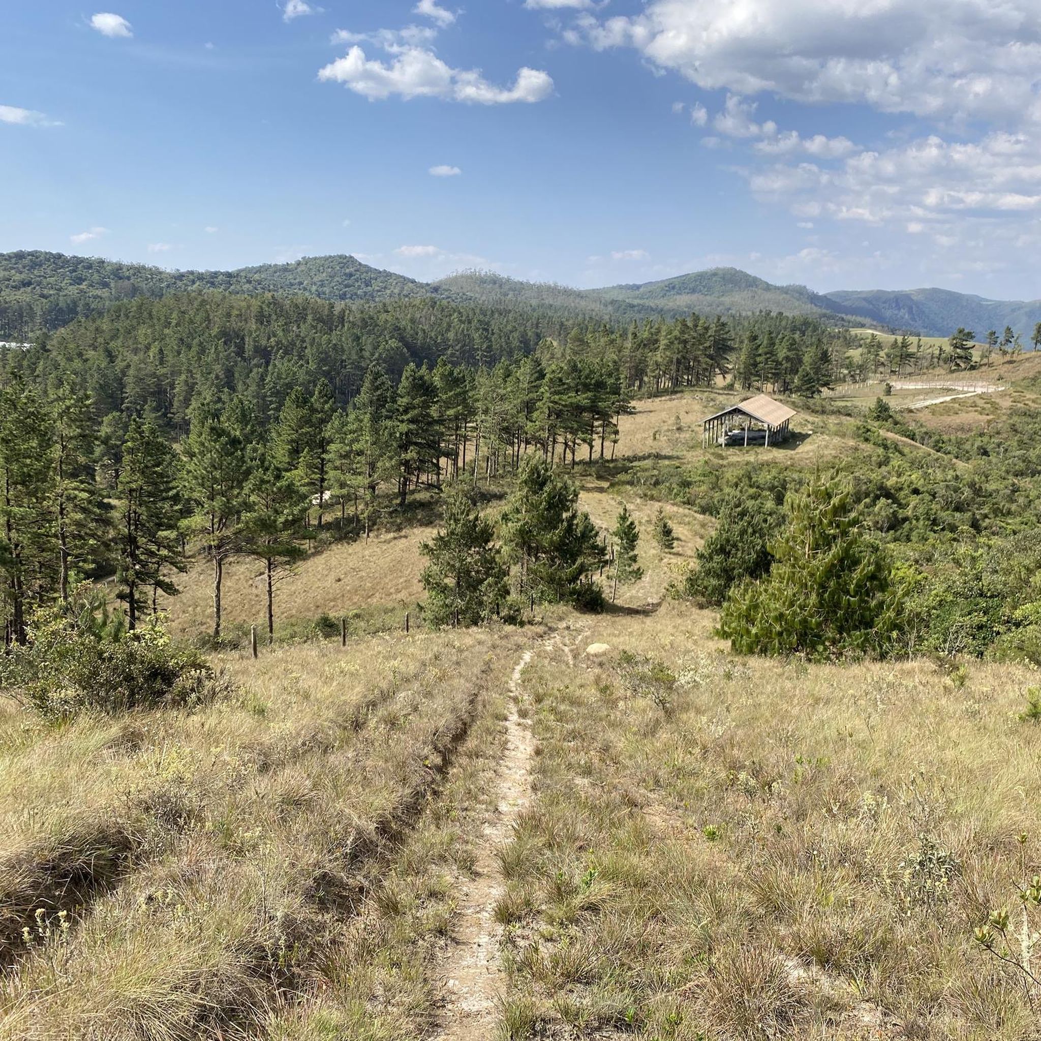
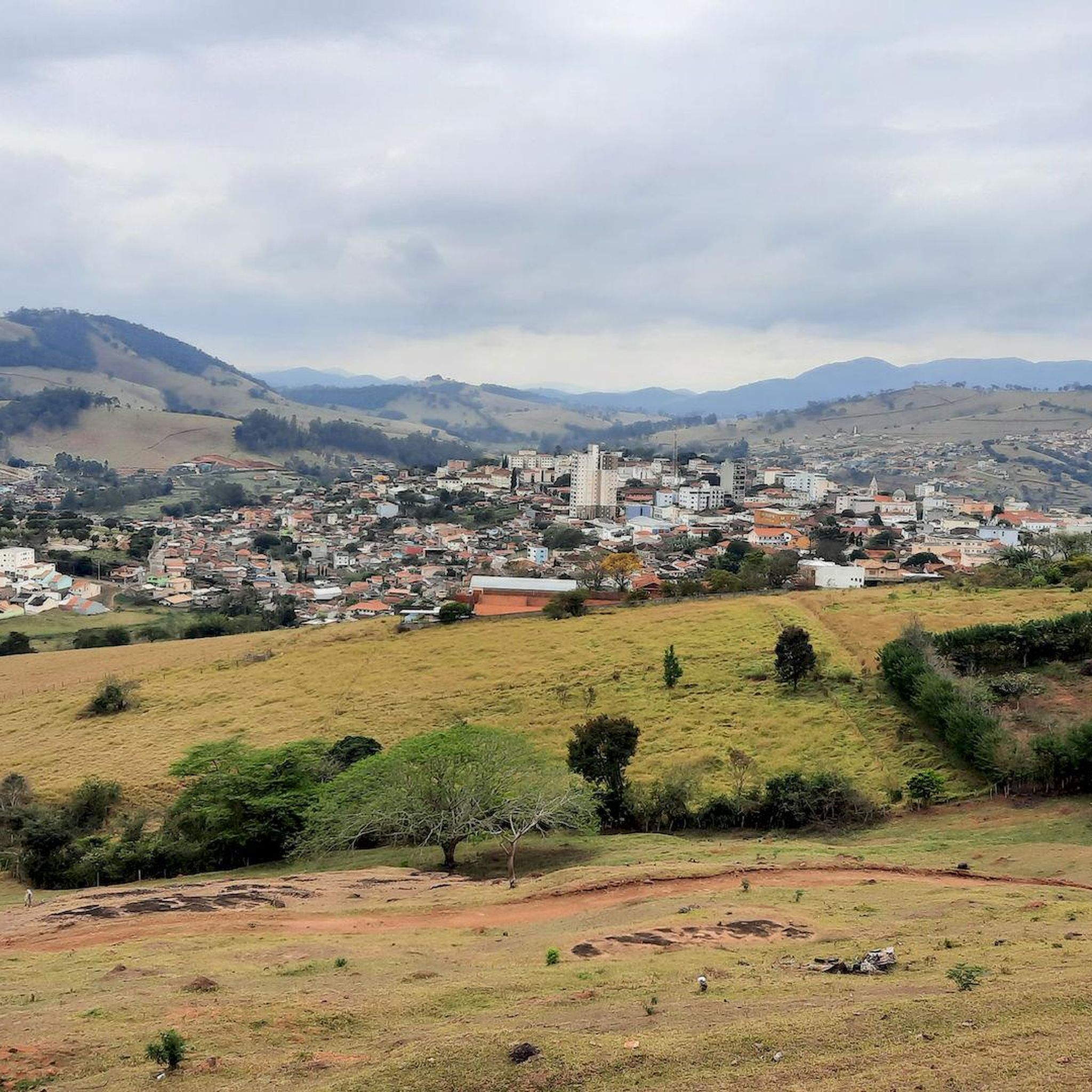
Mountain bike trails in Santo Antônio Do Pinhal are set within the Serra da Mantiqueira mountain range, offering diverse landscapes and challenging terrain. The region features numerous mountains, valleys, and forests, with altitudes ranging from 1,000 to nearly 3,000 meters. This creates an ideal environment for adventurous cyclists seeking significant elevation changes and varied riding experiences. The area is characterized by its mountainous topography, interspersed with dense woodlands and panoramic viewpoints.
Best mountain bike trails in Santo Antônio Do Pinhal
…Last updated: July 11, 2026
22
riders
41.3km
03:50
1,090m
1,090m
Hard mountain bike ride. Very good fitness required. Suitable for all skill levels.
25
riders
75.4km
06:19
1,460m
1,460m
Hard mountain bike ride. Very good fitness required. Suitable for all skill levels.

Sign up for free
5.0
(2)
11
riders
Moderate mountain bike ride. Good fitness required. Suitable for all skill levels.
7
riders
44.5km
04:16
1,130m
1,130m
Hard mountain bike ride. Very good fitness required. Suitable for all skill levels.
4
riders
27.0km
01:58
570m
570m
Moderate mountain bike ride. Good fitness required. Suitable for all skill levels.
Our route recommendations are based on thousands of hikes, rides, and runs completed by other people on komoot.
Start today with a free account
Your next adventure awaits.
Login or Signup
Popular around Santo Antônio Do Pinhal
Tips from the Community

Pico Do Itapeva between CJ and Pindamonhangaba, access via CJ
0
0

Here there are always pine nut sellers in April and May.
1
0

Beginning of the trail at Nascer do Sol, in Campos do Jordão
0
0
The small waterfall where you find yourself on the trail path.
0
0
A warning to follow the correct route.
0
0
Under rain, there is only mud to go up. So much fun.
0
0
Frequently Asked Questions
How many mountain bike trails are available in Santo Antônio Do Pinhal?
There are several mountain bike trails in Santo Antônio Do Pinhal, with komoot featuring 7 routes. These include 3 moderate and 4 difficult options, offering a range of challenges for different skill levels.
What kind of terrain can I expect on mountain bike trails in Santo Antônio Do Pinhal?
Mountain biking in Santo Antônio Do Pinhal offers diverse and challenging terrain. You'll encounter numerous mountains, valleys, and forests, with significant elevation changes as routes traverse altitudes ranging from 1,000 to nearly 3,000 meters. Expect strong climbs, varied surfaces, and scenic descents through dense woodlands and high-altitude mountain passes.
Are there any mountain bike trails suitable for beginners in Santo Antônio Do Pinhal?
While many trails in Santo Antônio Do Pinhal are considered challenging, there are moderate options available. The region generally caters to riders looking for significant elevation changes and varied terrain, but less intense green and blue difficulty trails can also be found. For a moderate ride, consider the Dried Fruit Stand loop from Santo Antônio do Pinhal, which covers 27 km.
Which mountain bike trails offer the most challenging rides in Santo Antônio Do Pinhal?
For experienced mountain bikers seeking a challenge, Santo Antônio Do Pinhal offers several difficult routes. The Praça de Capivari – Pau Arcado Viewpoint loop from Estação Emílio Ribas (Abernéssia) is a demanding 79.3 km trail with substantial elevation gain. Another difficult option is the Portal of Campos do Jordão – View of Pedra do Baú loop from Abernéssia (Campos do Jordão), a 43 km path with challenging climbs and descents.
What are some notable landmarks or viewpoints I can see along the mountain bike trails?
The region is rich in natural attractions and viewpoints. Many trails offer panoramic vistas of the Serra da Mantiqueira. You might encounter views of Pico Agudo, known for its stunning 360-degree views, or the Mirante Nossa Senhora Auxiliadora (Morro do Cruzeiro), which provides expansive views and is ideal for sunsets. The Portal of Campos do Jordão – View of Pedra do Baú loop, for instance, offers views towards Pedra do Baú.
Are there any waterfalls accessible from the mountain bike trails?
Yes, the region is known for its numerous waterfalls. While specific routes in the guide may not directly list them, the presence of waterfalls like Cachoeira do Lageado and those found along ecological trails such as the Trilha do Matadouro, suggests opportunities to cool off and enjoy nature during your rides. Many routes traverse areas where such natural features are common.
What is the best time of year for mountain biking in Santo Antônio Do Pinhal?
The Serra da Mantiqueira region, including Santo Antônio Do Pinhal, experiences distinct wet and dry seasons. The dry season typically offers more favorable conditions with less mud and clearer skies, making it ideal for mountain biking. However, strong climbs, heat, and dusty roads can still be factors, so preparing for varied conditions is always recommended.
Are there any loop trails for mountain biking in Santo Antônio Do Pinhal?
Yes, several mountain bike routes in Santo Antônio Do Pinhal are designed as loops, allowing you to start and finish at the same point. Examples include the Praça de Capivari – Pau Arcado Viewpoint loop, the Portal of Campos do Jordão – View of Pedra do Baú loop, and the Dried Fruit Stand loop from Santo Antônio do Pinhal.
What do other mountain bikers enjoy most about mountain biking in Santo Antônio Do Pinhal?
The mountain bike trails in Santo Antônio Do Pinhal are highly rated by the komoot community, with an average score of 5.0 stars. Riders often praise the diverse landscapes, challenging terrain, and the breathtaking views encountered along the routes. The significant elevation changes and varied riding experiences through mountains, valleys, and forests are frequently highlighted.
Are there options for bike rentals or guided tours in Santo Antônio Do Pinhal?
Yes, local services such as Pinhal Bike enhance the mountain biking experience in Santo Antônio Do Pinhal. They offer guided tours and bike rentals, which can be a great way to explore the region's trails, especially if you're unfamiliar with the area or prefer not to bring your own equipment.
Can I find places to eat or stay near the mountain bike trails?
Santo Antônio Do Pinhal and its surrounding areas offer various amenities for visitors. Many routes meander through areas with local restaurants and tourist spots. The region is well-equipped with cafes, restaurants, and accommodation options (like pousadas and hotels) that cater to tourists, making it convenient to find places to refuel and rest after your rides.
Most popular routes in Santo Antônio Do Pinhal

Get inspired with the komoot mobile app


Explore more
Browse the best MTB trails in other regions.
