The 8 Most Amazing Peaks around Lissendorf
Best mountain peaks around Lissendorf are found within the Vulkaneifel region, characterized by rolling hills and valleys rather than towering alpine peaks. The area is part of a low mountain range, the Eifel, known for its volcanic history and diverse geological features. While Lissendorf itself has elevations ranging from 400 to 610 meters, the surrounding landscape offers numerous elevated points and hills popular for hiking and scenic views. This region provides ample opportunities for outdoor enthusiasts to enjoy nature, geological…
Last updated: October 15, 2026
View of Gerolstein from the Munterley
Highlight • Viewpoint
Translated by Google •
Tip by

Kalvarienberg Trail (Alendorf)
Highlight • Trail
Translated by Google •
Tip by

Sign up now to discover places like this
Get recommendations on the best single tracks, peaks, & plenty of other exciting outdoor places.
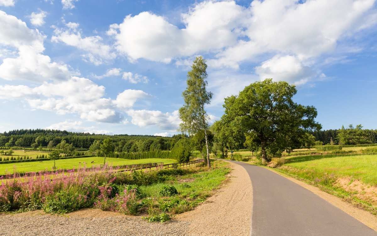
Giant Bench with View of Berlingen, Rockeskyll, and Kasselburg
Highlight • Viewpoint
Simply fantastic for a nice break.
Translated by Google •
Tip by

Langer Stein and Seimersberg
Highlight • Summit
Translated by Google •
Tip by

Homecomers' Cross Jischbühl
Highlight • Monument
Translated by Google •
Tip by

Sign up for free to discover even more peaks around Lissendorf.
Already have an account?
Start today with a free account
Your next adventure awaits.

Other adventures around Lissendorf

Tips from the Community

In one of the – wonderfully told and far beyond the borders of Italy popular – short stories that Giovanni Guareschi (1908 to 1968) tells about the two protagonists he invented, “Don Camillo” and “Peppone”, the title is “AUTUMN”. Even though most of his stories have a humorous background, this time it is about a serious topic, namely the national remembrance of the fallen on the occasion of November 4th. The communist mayor Peppone expresses himself in the heated discussion with the priest as follows: » “The people are fed up with all these wars and victories. The people know very well what a war is and do not need speeches and appeals that glorify it.” Don Camillo shook his head. “You are on the wrong path, Peppone. Nobody wants to glorify war. It is only about paying homage and gratitude to all those who suffered in this war and lost their lives.” « (G. Guareschi)
0
0

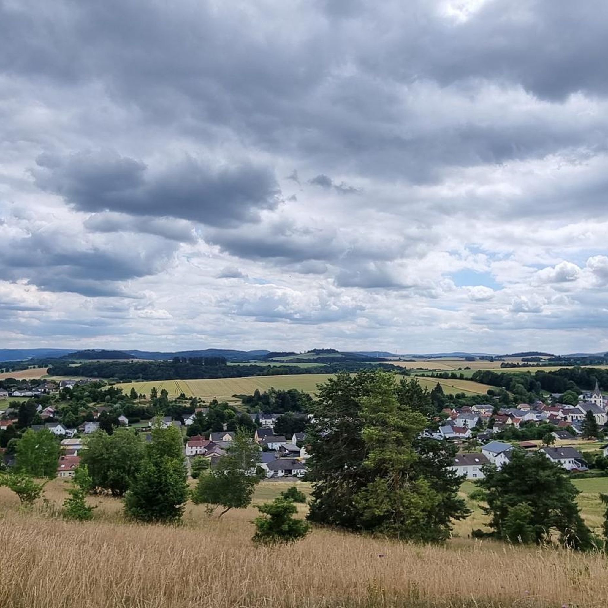
Great panoramic view overlooking Kasselburg Pelm
1
0

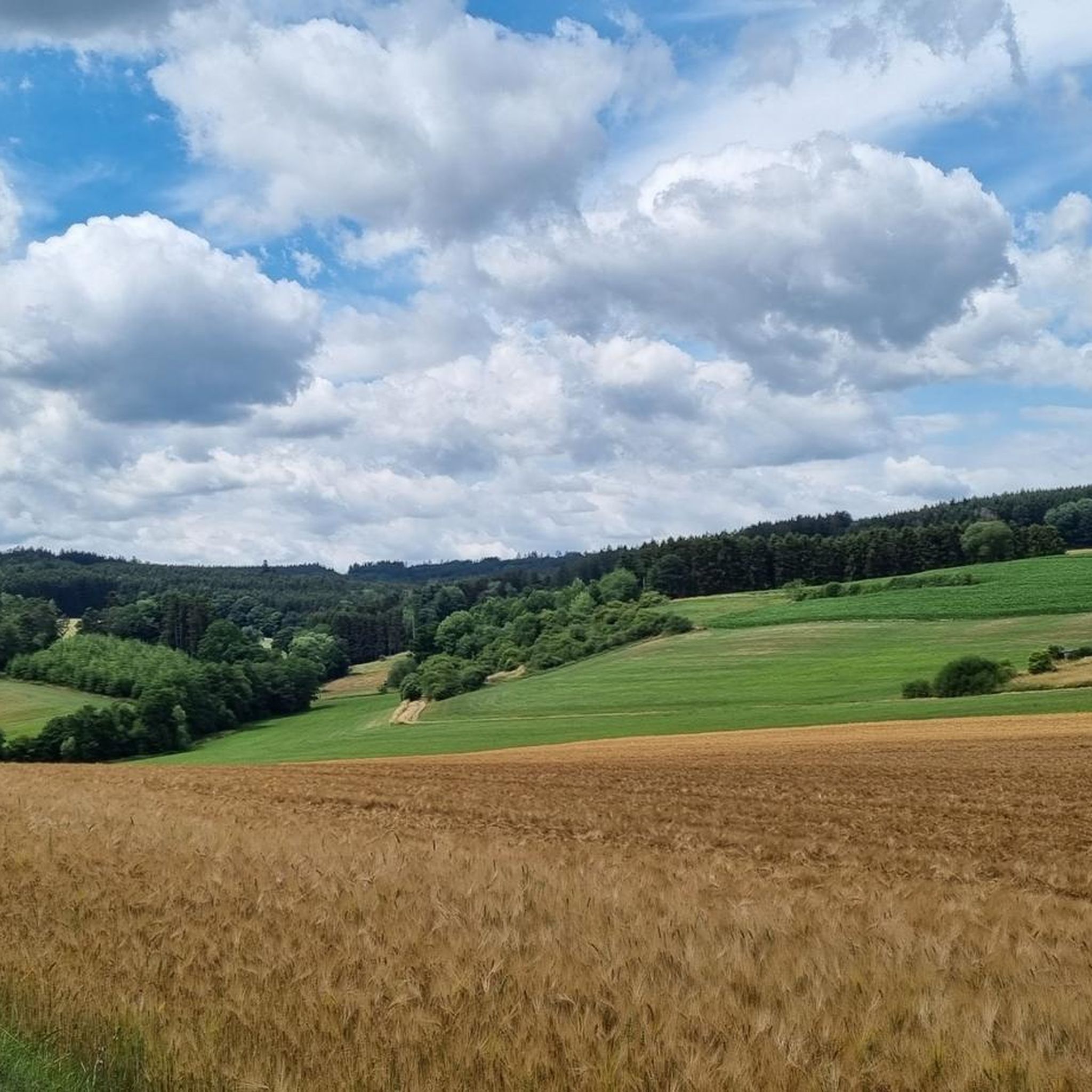
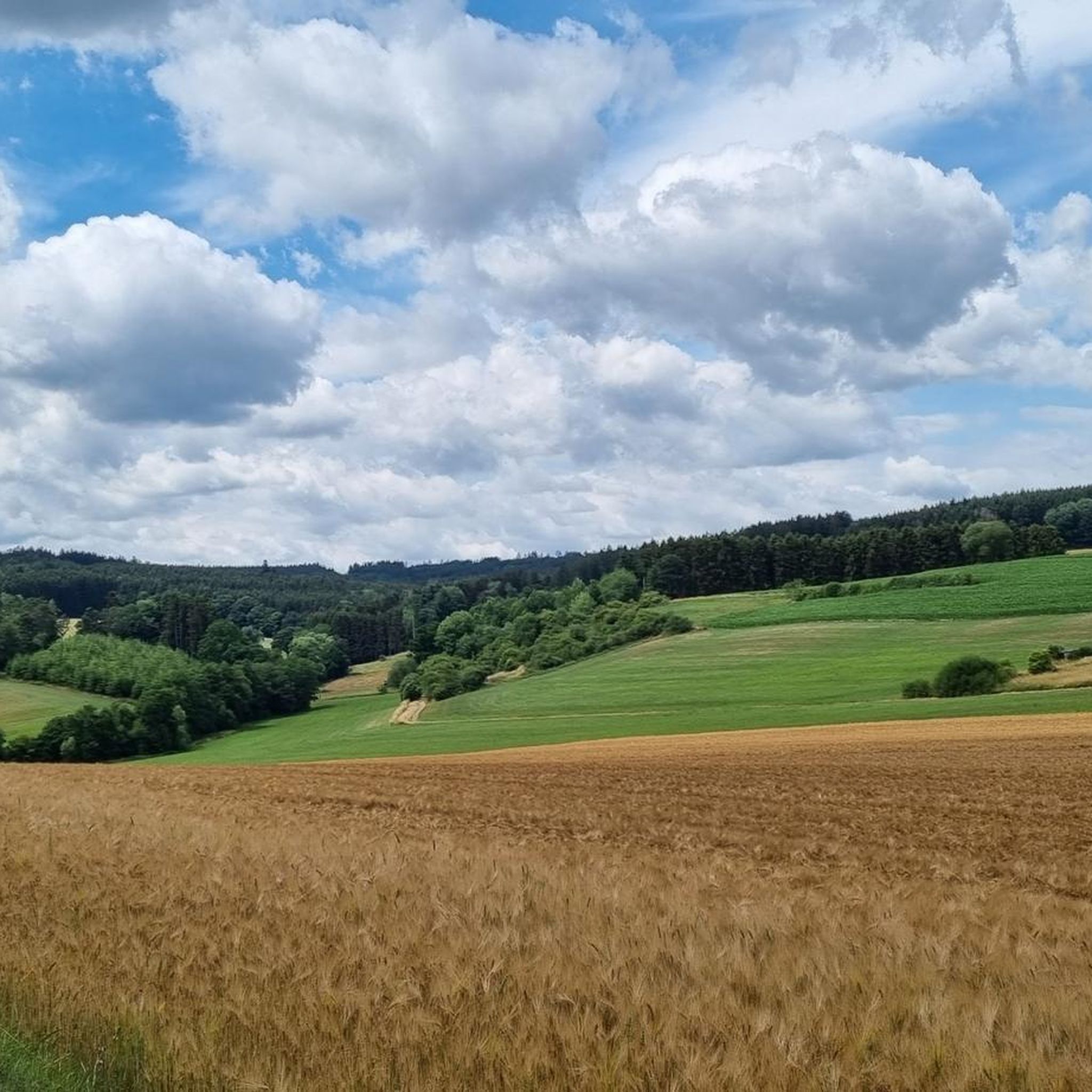
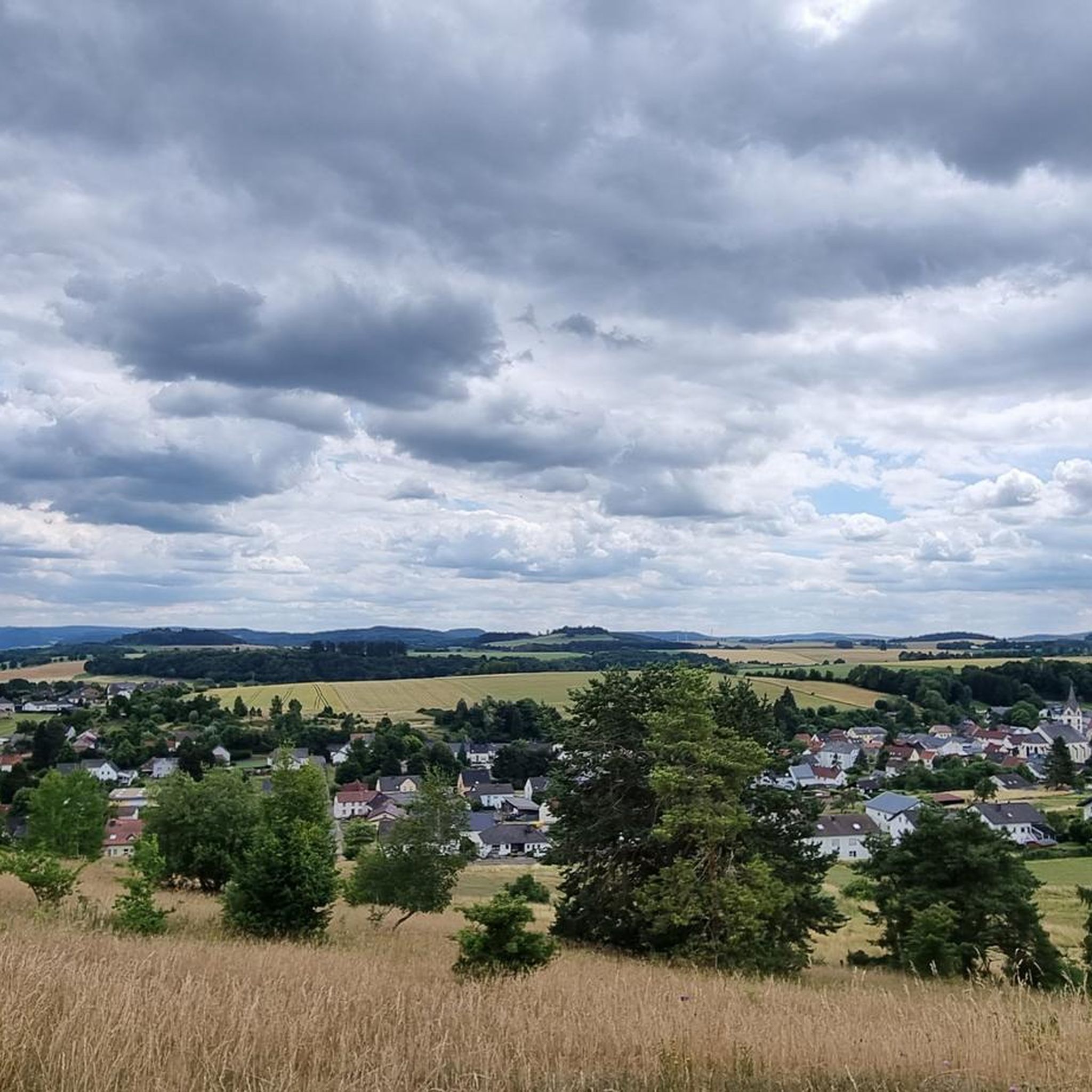
When the weather is good, you have a fantastic view over the hills of the Volcanic Eifel from here.
3
0

The view from here is phenomenal.
1
0

Commemoration / thanks to / for safe return from World War II
0
0

"To the west of the Langer Stein (640m) and Seimersberg (662m) we move to the Prümer Kopf. The gradients have so far proven to be very moderate, as they are today. In the surrounding spruce forest we repeatedly discover up to two meter high anthills ( https://www.das-tierlexikon.de/ameise/) and these are often surprisingly close together. We also encounter an unusually large number of hard-working dung beetles; we often have to be very careful not to step on them. (https://www .biologie-schule.de/mistkaefer-steckbrief.php)" https://www.komoot.de/tour/778942841
0
0

The Liberation Beech stands at the highest point of the Alter Foss mountain. According to the stories, it was a strategically important lookout point during the Thirty Years' War. From there you could see the towns of Pelm, Gerolstein, Rockeskyll, Hohenfels, Essingen, Betteldorf, Kirchweiler and Hinterweiler. https://kulturdb.de/einobjekt.php?id=48574
0
0

Just a few more meters and you've made it. At the top there is a great view and nice seating. Top!
8
0
Frequently Asked Questions
What kind of elevated points and 'mountain peaks' can I expect to find around Lissendorf?
The Lissendorf region, part of the Vulkaneifel, features rolling hills and elevated points rather than towering alpine peaks. You'll discover a charming landscape of significant hills, dolomite rock formations, and volcanic features, offering ample opportunities for hiking and enjoying expansive views. Elevations typically range from 400 to 610 meters.
Which elevated points offer the best panoramic views near Lissendorf?
For breathtaking vistas, head to the View of Gerolstein from the Munterley, which provides fantastic panoramic views over Gerolstein and the beautiful Kylltal valley. Another excellent spot is the Giant Bench with View of Berlingen, Rockeskyll, and Kasselburg, perfect for a scenic break.
Are there any family-friendly elevated points or trails suitable for children around Lissendorf?
Yes, several spots are great for families. The View of Gerolstein from the Munterley is considered family-friendly, offering stunning views. The Giant Bench with View of Berlingen, Rockeskyll, and Kasselburg is also a good option for a leisurely outing with children.
What unique geological features can I explore on the elevated points near Lissendorf?
The Vulkaneifel region is rich in geological wonders. At the View of Gerolstein from the Munterley, you stand on a Devonian reef formed 380 million years ago. The Hippelsteinchen Rock Formation and Burgberg are other significant dolomite rock formations showcasing ancient stones and the area's volcanic history.
What is the best time of year to hike the elevated points around Lissendorf?
The region is beautiful year-round. Spring and autumn offer pleasant temperatures and vibrant colors, while summer is ideal for longer days and clear views. Winter hiking is also possible, with the landscape transformed by snow, though weather conditions should always be checked.
Are there challenging hikes for experienced hikers among the elevated points near Lissendorf?
While the region doesn't have alpine peaks, some routes offer more challenging climbs, particularly around the volcanic mountains. These ascents are rewarded with incomparable panoramic views over the Eifel countryside. The approach to the Kalvarienberg Trail (Alendorf), for instance, is noted as a bit steep but rewarding.
What hiking opportunities are available near the elevated points of Lissendorf?
The region is a paradise for hikers, with numerous trails. You can find routes like the Hippelsteinchen Rock Formation – Mühlstein Viewpoint loop or the Mühlstein Viewpoint – Schwarzkreuz Picnic Area loop. The 'Eifelschleife' premium hiking trail is also known for its impressive rocky landscapes and mystical forests.
Can I find other outdoor activities like cycling near the elevated points around Lissendorf?
Absolutely! Besides hiking, the area offers excellent cycling opportunities. You can explore road cycling routes such as the 'Pig iron ladle car Jünkerath – Kronenburg Reservoir loop' or discover MTB trails like the 'View of the Tuscan Eifel – Birgeler Mill loop'.
What do visitors enjoy most about the elevated points and trails around Lissendorf?
Visitors frequently praise the extensive vistas of the Vulkaneifel's rolling hills, dense forests, and picturesque valleys. The unique geological formations, such as the Devonian reefs, and the peaceful, natural environment also contribute to a highly appreciated outdoor experience.
Are there any specific tips for visiting the Munterley Plateau?
The Munterley Plateau, home to the View of Gerolstein from the Munterley, is a highlight for its panoramic views. A refuge on the plateau provides shelter in inclement weather. It's also a significant geological site, standing on a 380-million-year-old Devonian reef.
Where can I find information about parking or public transport to access hiking trails near Lissendorf's elevated points?
While specific parking details for every trailhead are not always listed, many popular hiking routes around Lissendorf, including those leading to elevated points, typically have designated parking areas. For public transport, it's advisable to check local bus schedules connecting to villages near trailheads, as Lissendorf itself is a central point in the region.
Most popular routes around Lissendorf
Most popular attractions around Lissendorf

Get inspired with the komoot mobile app


Explore more
See even more amazing summits around Lissendorf with these guides:
