The best walks and hikes around Lissendorf
4.5
(222)
675
hikers
50
hikes
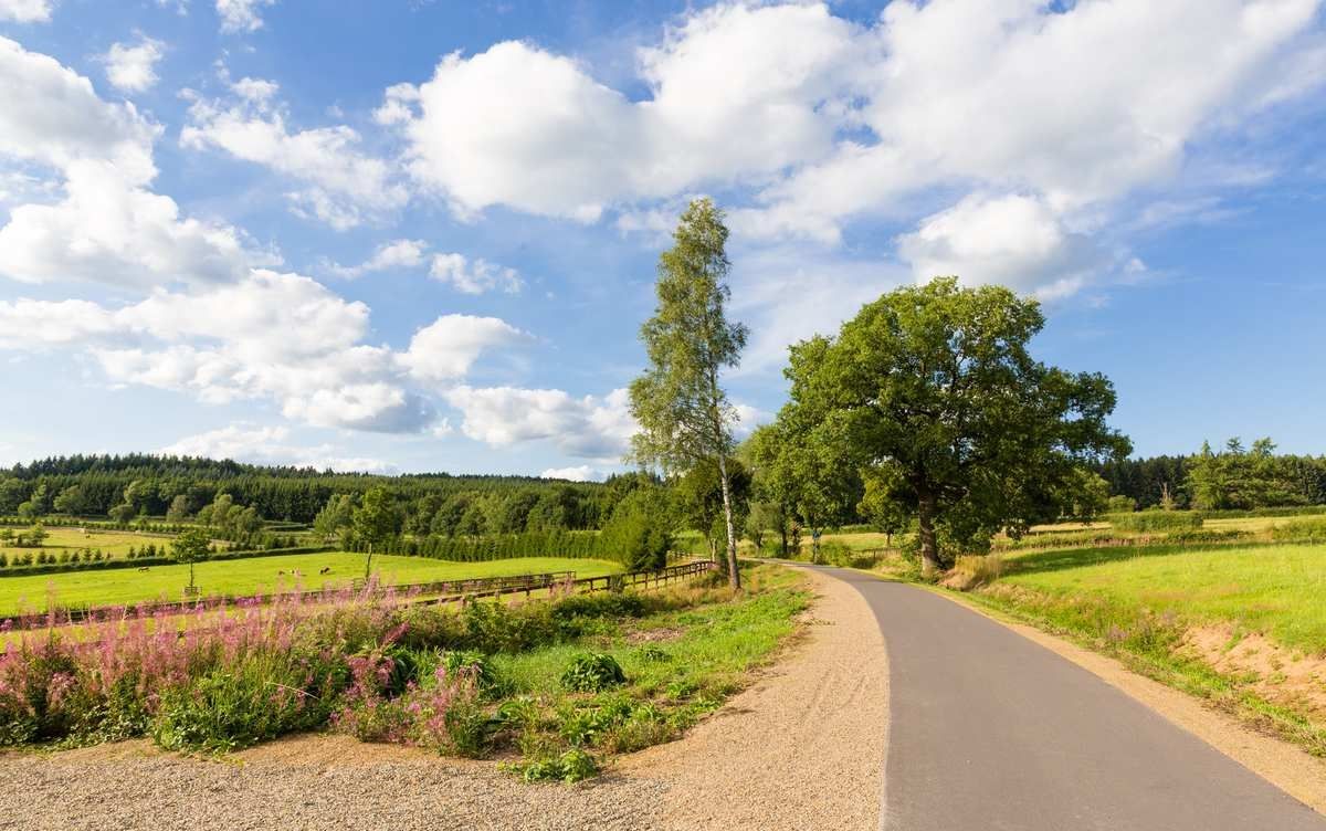
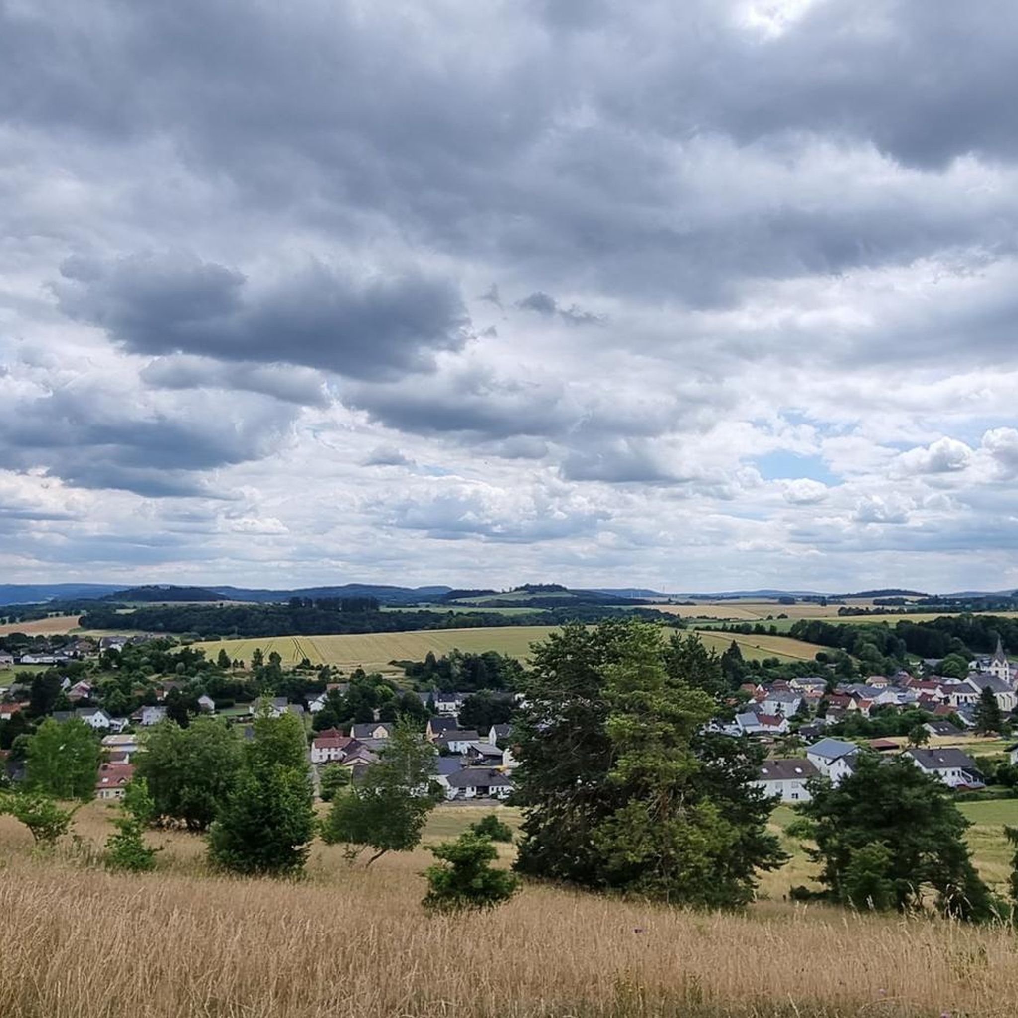
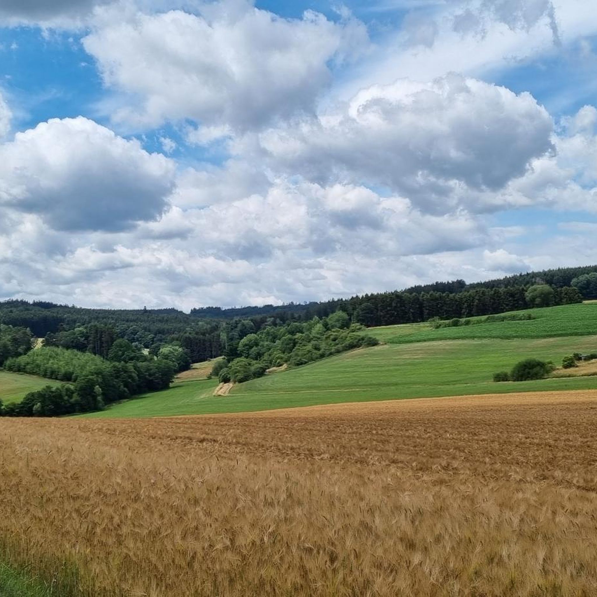
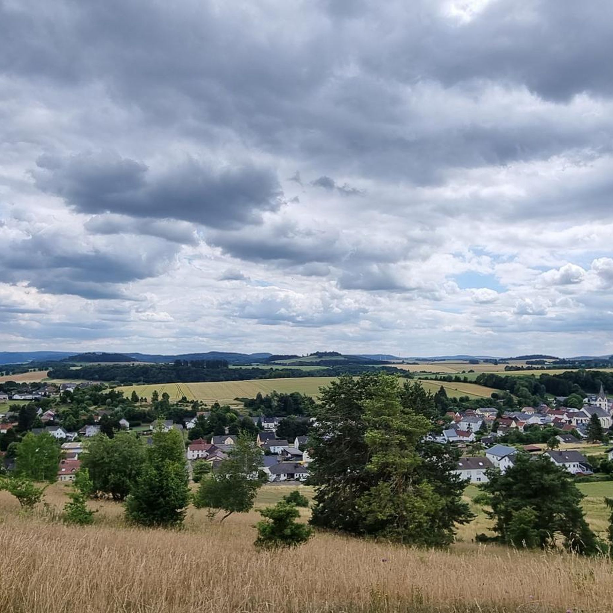
Hiking around Lissendorf offers diverse experiences within the Volcanic Eifel region, characterized by rolling hills, deep valleys, and dense forests. The landscape features unique geological formations, including dolomite rocks like the Hippelsteinchen and the Burgberg, alongside the picturesque Kyll Valley. This area provides a varied backdrop for exploration, from gentle forest paths to more challenging routes through volcanic terrain.
Best hiking trails around Lissendorf
- The most popular hiking route is Hirschbergrundweg in Birgel – Mühlstein Viewpoint loop from Lissendorf,…
Last updated: October 3, 2026
4.6
(18)
71
hikers
9.20km
02:34
180m
180m
Moderate hike. Good fitness required. Easily-accessible paths. Suitable for all skill levels.
4.3
(23)
89
hikers
Moderate hike. Good fitness required. Easily-accessible paths. Suitable for all skill levels.

4.2
(17)
58
hikers
Easy hike. Great for any fitness level. Easily-accessible paths. Suitable for all skill levels.
4.9
(13)
30
hikers
5.01km
01:23
90m
90m
Easy hike. Great for any fitness level. Easily-accessible paths. Suitable for all skill levels.
5.0
(3)
17
hikers
Moderate hike. Good fitness required. Easily-accessible paths. Suitable for all skill levels.
Get access to more routes and recommendations from other explorers.
Already have an account?
Our route recommendations are based on thousands of hikes, rides, and runs completed by other people on komoot.
Start today with a free account
Your next adventure awaits.

Other adventures around Lissendorf

Tips from the Community

Apparently a memorial stone for a hunting dog named Bob Etzel.
0
0

Striking rock formation by the roadside. A pretty photo opportunity.
1
0
To enjoy the beautiful views, it is best to hike the circular trail on a day with nice and clear weather.
0
0
Beautiful viewpoint. A lounger positioned there invites for a relaxing break.
1
0
From here you have a beautiful view of Birgel.
1
0
From here we have a beautiful view over the landscape of the Vulkaneifel.
1
0
From here, we have a beautiful view over the heights of the Vulkaneifel.
1
0

On the bench you just have to take a break and enjoy the view 👍
1
0
Frequently Asked Questions
How many hiking trails are available in Lissendorf?
Lissendorf offers a wide variety of hiking experiences with over 50 trails to choose from. These routes cater to different skill levels, ranging from easy strolls to more challenging treks through the Volcanic Eifel landscape.
What kind of landscapes can I expect to see while hiking around Lissendorf?
The region around Lissendorf is characterized by its diverse Volcanic Eifel landscape. You'll encounter picturesque rolling hills, deep valleys, dense forests, and the tranquil Kyll Valley. The area is also known for unique geological features, including ancient volcanic remnants and striking rock formations.
Are there any notable rock formations or geological features to explore?
Yes, Lissendorf is rich in unique rock formations. You can explore dolomite rocks such as the Hippelsteinchen and the Burgberg, which is a recognized landscape protection area. The Gerolsteiner Dolomites, including the Munterley, also offer spectacular views over Gerolstein and the Kyll Valley. For a direct experience, consider the Hippelsteinchen Rock Formation – Mühlstein Viewpoint loop from Lissendorf.
Can I find trails that lead to viewpoints with scenic vistas?
Absolutely. Many trails in the Lissendorf area offer stunning panoramic views. The Möschelberg provides scenic vistas into the Kyll Valley, and routes like the Mühlstein Viewpoint – Schwarzkreuz Picnic Area loop from Lissendorf are specifically designed to lead to scenic viewpoints.
Are there any circular hiking routes available in Lissendorf?
Yes, Lissendorf offers numerous circular routes perfect for a day hike. A popular option is the Mühlstein Viewpoint – Schwarzkreuz Picnic Area loop from Lissendorf, which takes you through varied forest landscapes. Another local favorite is the Kyll River in Birgel – Schwarzkreuz Picnic Area loop from Lissendorf, exploring the scenic Kyll Valley.
What are the best seasons for hiking in Lissendorf?
The best seasons for hiking in Lissendorf are spring and autumn. During these times, the natural scenery is particularly vibrant with blooming flowers or colorful foliage, and the climate is generally mild and pleasant for outdoor activities.
Are there family-friendly hiking options in the area?
Yes, Lissendorf has several easy hiking trails suitable for families. These routes often feature gentle terrain and shorter distances. For example, the Mühlstein Viewpoint – Hippelsteinchen Rock Formation loop from Lissendorf is an easy 6.5 km path that can be enjoyed by families.
Are dogs allowed on hiking trails around Lissendorf?
Generally, dogs are welcome on hiking trails in the Lissendorf area. However, it's always recommended to keep them on a leash, especially in nature protection areas or when passing through agricultural land, to protect wildlife and respect other hikers. Always check local signage for specific rules.
What historical or cultural sights can I encounter on a hike?
While hiking, you can discover several historical and cultural points of interest. Kerpen Castle, a 12th-century structure, is enjoyable to hike around, and the ruins of Niederburg Manderscheid offer insights into medieval life. Locally, the restored museum signal box "Lissendorf LF" is another interesting sight.
How can I get to the hiking trails using public transport?
Lissendorf is well-connected and accessible by train, making it convenient for hikers using public transport. The train station in Lissendorf provides a good starting point for many trails, allowing you to reach various routes without needing a car.
Is parking available near the trailheads in Lissendorf?
Yes, parking facilities are generally available near popular trailheads and in the village of Lissendorf itself. This makes it convenient for those traveling by car to access the hiking routes.
Are there any waterfalls to visit while hiking?
Yes, for those seeking waterfalls, the Eifel region offers the "HeimatSpur Wasserfall-Erlebnisroute" which leads to the 28-meter-high Klidingen waterfall, the highest in the Eifel. While not directly in Lissendorf, it's a notable attraction within the broader region.
What do other hikers say about the trails in Lissendorf?
The hiking trails in Lissendorf are highly rated by the komoot community, with an average score of 4.5 stars from over 290 reviews. Hikers often praise the varied terrain, the quiet woodlands, and the well-marked paths that lead to scenic viewpoints and unique rock formations.
Are there any easy hiking trails suitable for beginners?
Yes, Lissendorf offers several easy hiking trails perfect for beginners or those looking for a relaxed walk. There are 22 easy routes available, such as the Mühlstein Viewpoint – Hippelsteinchen Rock Formation loop from Lissendorf, which is an easy 6.5 km path.
Most popular routes around Lissendorf
Most popular attractions around Lissendorf

Get inspired with the komoot mobile app


Explore more
Browse the best Hikes in other regions.
