The 6 Most Amazing Peaks around Jünkerath
Best mountain peaks around Jünkerath are found within the Vulkaneifel district of the Eifel region, characterized by rolling hills and elevated areas. This area offers scenic views and opportunities for hiking. The Eifel is a low mountain range, with elevated viewpoints showcasing its diverse landscapes and forests. Jünkerath serves as a starting point for exploring these natural features and well-maintained trails.
Best mountain peaks around Jünkerath
- The most popular mountain peaks is Kalvarienberg Trail (Alendorf), a trail that offers…
Last updated: July 1, 2026
Kalvarienberg Trail (Alendorf)
Highlight • Trail
Translated by Google •
Tip by

View of Alendorf and the Lampertstal from the Kalvarienberg
Highlight • Viewpoint
Translated by Google •
Tip by

Sign up now to discover places like this
Get recommendations on the best single tracks, peaks, & plenty of other exciting outdoor places.
Sign up for free
Langer Stein and Seimersberg
Highlight • Summit
Translated by Google •
Tip by

Homecomers' Cross Jischbühl
Highlight • Monument
Translated by Google •
Tip by

Eifel-Bärbelkreuz Transmitter
Highlight • Monument
Translated by Google •
Tip by

Sign up for free to discover even more peaks around Jünkerath.
Sign up for free
Already have an account?
Start today with a free account
Your next adventure awaits.
Login or Signup

Tips from the Community

In one of the – wonderfully told and far beyond the borders of Italy popular – short stories that Giovanni Guareschi (1908 to 1968) tells about the two protagonists he invented, “Don Camillo” and “Peppone”, the title is “AUTUMN”. Even though most of his stories have a humorous background, this time it is about a serious topic, namely the national remembrance of the fallen on the occasion of November 4th. The communist mayor Peppone expresses himself in the heated discussion with the priest as follows: » “The people are fed up with all these wars and victories. The people know very well what a war is and do not need speeches and appeals that glorify it.” Don Camillo shook his head. “You are on the wrong path, Peppone. Nobody wants to glorify war. It is only about paying homage and gratitude to all those who suffered in this war and lost their lives.” « (G. Guareschi)
0
0

Commemoration / thanks to / for safe return from World War II
0
0

The WDR transmitter "Bärbelkreuz" is named after the "Bärbelkreuz" summit, which is 1.1 km away.
2
0

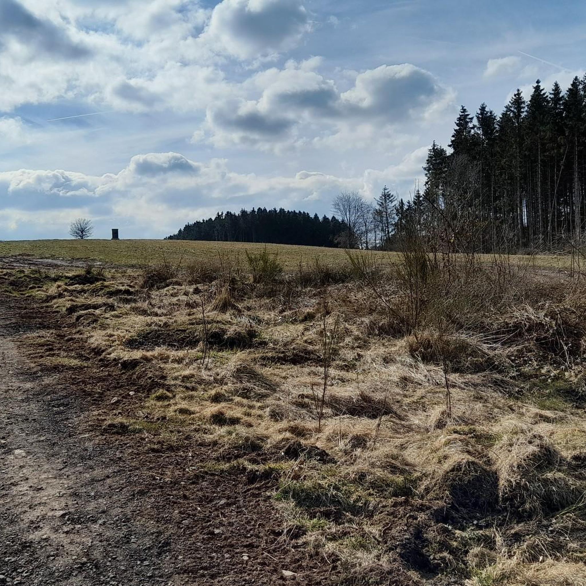
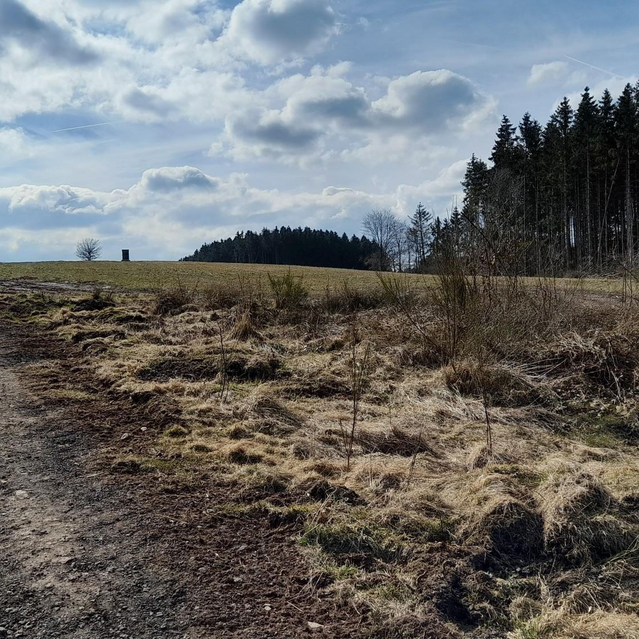
"To the west of the Langer Stein (640m) and Seimersberg (662m) we move to the Prümer Kopf. The gradients have so far proven to be very moderate, as they are today. In the surrounding spruce forest we repeatedly discover up to two meter high anthills ( https://www.das-tierlexikon.de/ameise/) and these are often surprisingly close together. We also encounter an unusually large number of hard-working dung beetles; we often have to be very careful not to step on them. (https://www .biologie-schule.de/mistkaefer-steckbrief.php)" https://www.komoot.de/tour/778942841
0
0

Just a few more meters and you've made it. At the top there is a great view and nice seating. Top!
8
0

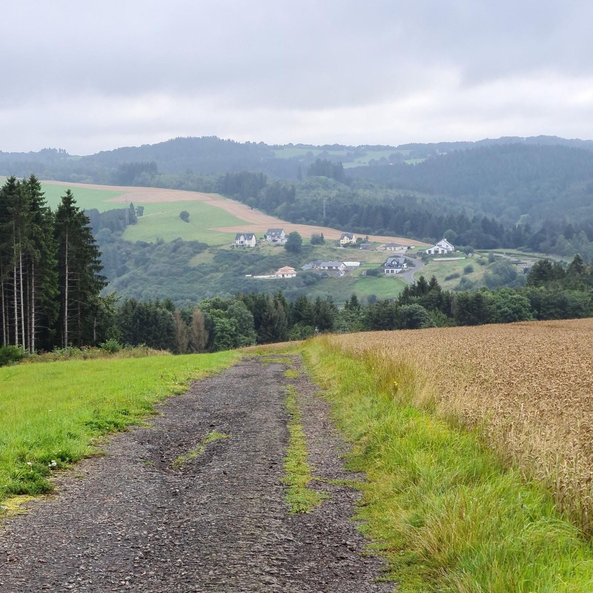
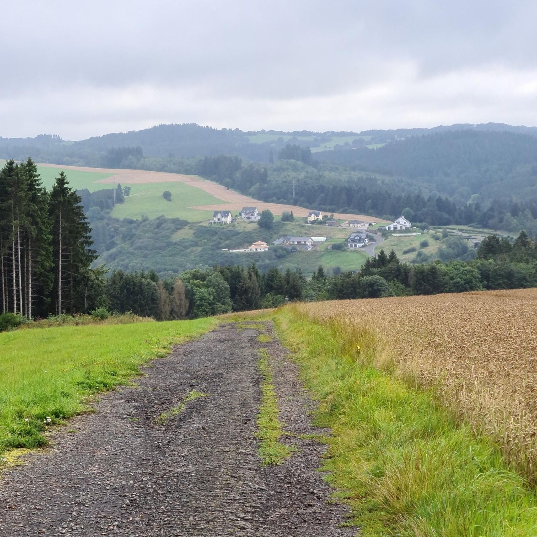
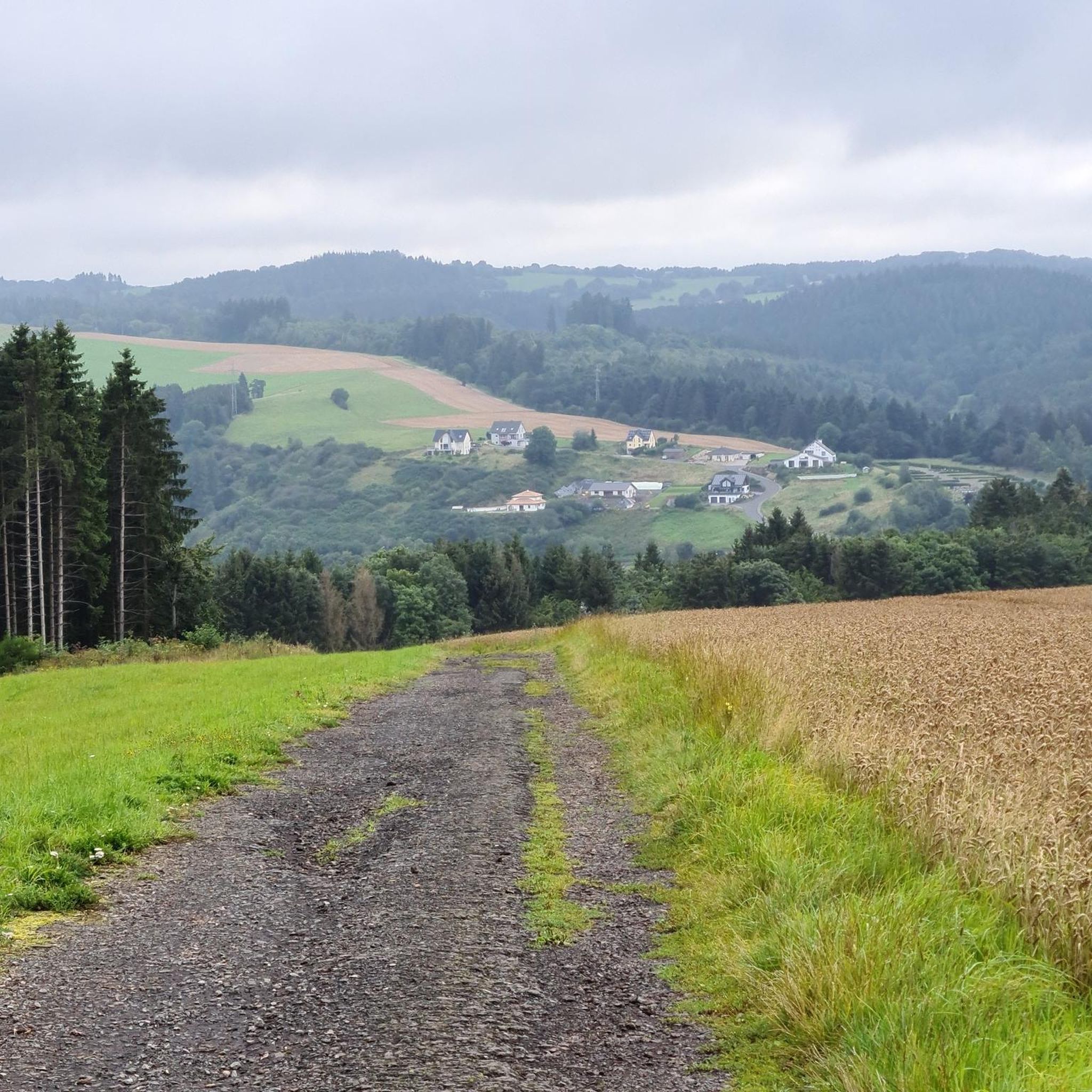
The mountain path leads through an extremely barren and beautiful juniper landscape. Loosened up by the Stations of the Cross and peppered with beautiful views of the valley.
9
0

Soldiers returning from Berndorf built a large wooden cross as a thank you that Berndorf was not shot at when the Americans marched in and placed it on Jischbühl. The cross had already been struck twice by lightning, but it was repeatedly restored. The cross is visible from far and wide on the road to Hillesheim. A plaque on the cross bears the inscription: "This cross was inaugurated in 1948 as a thank you to those who took part in the war 1939-1945 for returning home from the Second World War.
1
0

The approach is a bit steep, but the little effort is worth it. Must be done or seen. Of course, the weather has to play along.
25
0
Frequently Asked Questions
What kind of terrain can I expect when exploring the elevated areas around Jünkerath?
The region around Jünkerath is characterized by a hilly volcanic landscape, part of the Vulkaneifel district. You'll find diverse terrain with moderate gradients, often covered in spruce forest, and leading to scenic viewpoints. Trails like those around Langer Stein and Seimersberg offer such experiences.
Are there any particularly scenic viewpoints near Jünkerath?
Yes, the area boasts several impressive viewpoints. The View from the Kalvarienberg, Alendorf offers a magnificent 360-degree panoramic view of the Eifel, complete with a summit cross, benches, and a relaxation lounger. The Schwarzer Mann Circular Trail also leads to a lookout tower with spectacular views.
What are some popular hiking trails that lead to elevated points around Jünkerath?
The Kalvarienberg Trail (Alendorf) is a popular choice, known for its beautiful views of juniper heaths, despite a steep approach. The Eifelsteig long-distance trail also passes through Jünkerath, offering access to various elevated sections with scenic vistas. For more options, you can explore routes in the Hiking around Jünkerath guide.
Are there family-friendly options for exploring the elevated areas around Jünkerath?
Absolutely. The Schwarzer Mann Circular Trail is particularly suitable for families, featuring numerous playgrounds and picnic areas along its approximately five-kilometer length. The View from the Kalvarienberg, Alendorf is also considered family-friendly, with a relatively short climb from a nearby car park.
What unique natural features can I discover in the Jünkerath region?
The region's volcanic past has shaped a distinct hilly terrain. You can explore the idyllic valleys of the Glaadtbachtal Nature Reserve, which offers fantastic wide views over the northern Eifel. The Kalvarienberg Trail (Alendorf) also showcases beautiful juniper heaths, a characteristic natural monument of the area.
Are there any historical or cultural landmarks on the elevated points around Jünkerath?
Yes, the View from the Kalvarienberg, Alendorf is surrounded by a Stations of the Cross from the late Baroque era, adding a historical and religious dimension to the scenic spot. Additionally, the Homecomers' Cross Jischbühl is a significant historical monument, built as a thank you by soldiers returning from WWII, offering a viewpoint visible from afar.
What is the best time of year to visit the mountain peaks and elevated areas around Jünkerath?
The Eifel region, including Jünkerath, offers diverse experiences throughout the year. Spring and autumn are particularly popular for hiking due to pleasant temperatures and vibrant natural colors. However, the well-maintained trails and panoramic views can be enjoyed in all seasons, with winter offering a unique, serene landscape.
What kind of wildlife might I encounter on the trails around Jünkerath's elevated areas?
While specific wildlife sightings can vary, the forested areas and nature reserves like Glaadtbachtal are home to typical Eifel fauna. Hikers have reported seeing numerous anthills and hard-working dung beetles, particularly around areas like Langer Stein and Seimersberg, indicating a healthy ecosystem.
Where can I find amenities like cafes or restaurants near the hiking trails?
Near the Kalvarienberg, Alendorf, a small family cafe in the village of Alendorf invites visitors to relax and enjoy refreshments after their climb. For broader options, the town of Jünkerath itself offers various cafes and restaurants.
Are there any less-known or 'hidden gem' elevated spots worth exploring?
While not a 'hidden gem' in the traditional sense, the Eifel-Bärbelkreuz Transmitter, located on the forested plateaus of the Zitterwald, offers a unique viewpoint from an altitude of 652m. It provides a different perspective on the Eifel landscape, away from the more frequently visited spots.
What other outdoor activities can I do near the elevated areas of Jünkerath?
Beyond exploring the peaks, Jünkerath is an excellent base for various outdoor activities. You can find numerous routes for hiking, including easy loops around the Jünkerath Reservoir. There are also dedicated mountain hikes and running trails available in the surrounding area.
Most popular routes around Jünkerath
Most popular attractions around Jünkerath

Get inspired with the komoot mobile app


Explore more
See even more amazing summits around Jünkerath with these guides:
