The best walks and hikes around Jünkerath
4.3
(253)
987
hikers
38
hikes
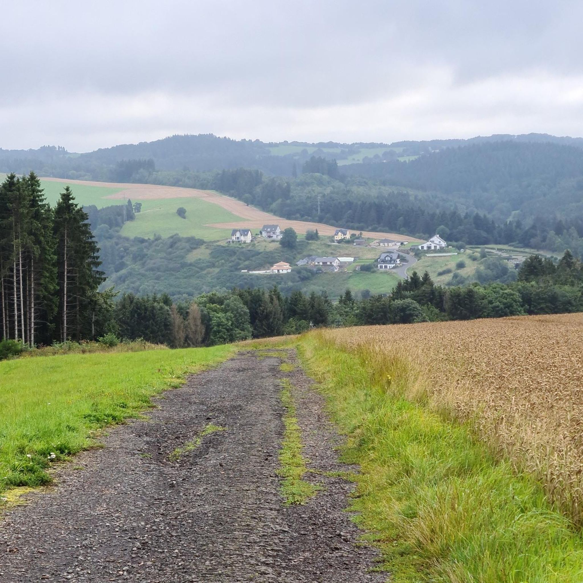
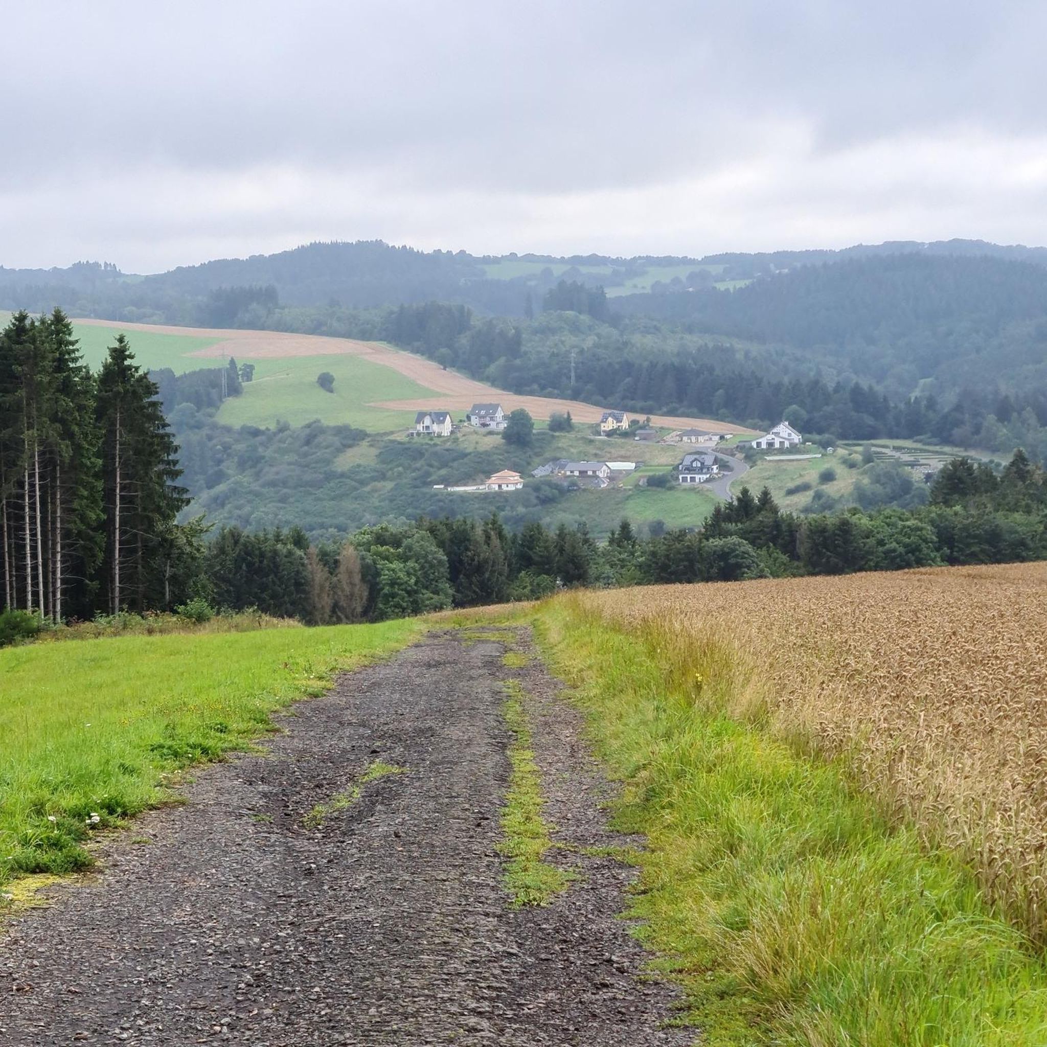
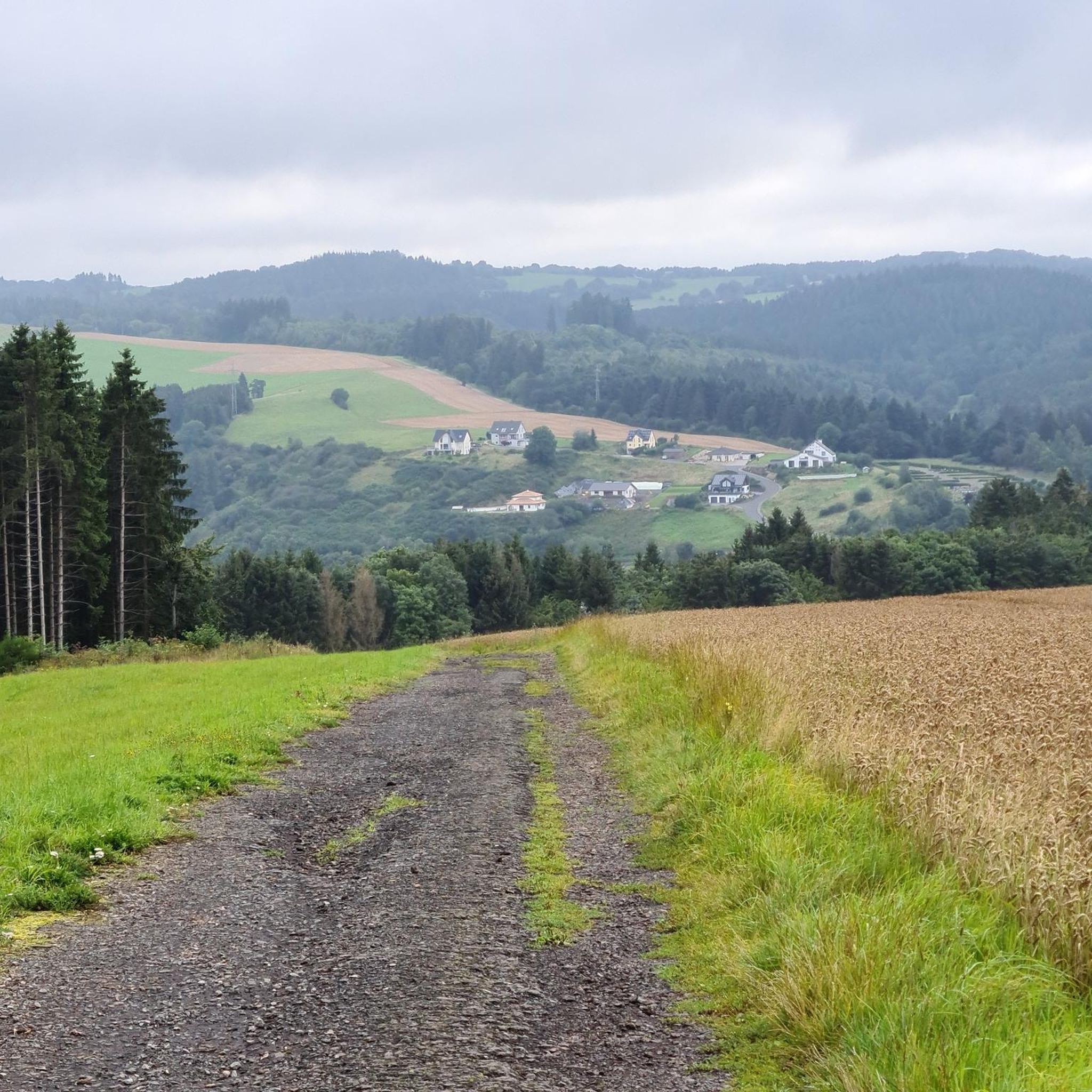
Hiking around Jünkerath offers diverse experiences within Germany's Vulkaneifel district. The region is characterized by rolling hills, expansive fields, and dense forests, providing varied terrain for outdoor activities. Hikers can explore areas with unique volcanic landscapes and enjoy wide views over the scenic Kyll Valley. The topography includes a blend of natural features, making it suitable for different types of trails.
Best hiking trails around Jünkerath
- The most popular hiking route is Jünkerath Reservoir – Small Forest Pond loop from…
Last updated: October 16, 2026
4.8
(50)
193
hikers
Moderate hike. Good fitness required. Easily-accessible paths. Suitable for all skill levels.
4.3
(33)
95
hikers
7.14km
01:57
110m
110m
Easy hike. Great for any fitness level. Easily-accessible paths. Suitable for all skill levels.

4.4
(14)
54
hikers
3.92km
01:03
50m
50m
Easy hike. Great for any fitness level. Easily-accessible paths. Suitable for all skill levels.
4.4
(12)
34
hikers
12.7km
03:33
240m
240m
Moderate hike. Good fitness required. Easily-accessible paths. Suitable for all skill levels.
5.0
(5)
20
hikers
8.20km
02:16
140m
140m
Moderate hike. Good fitness required. Easily-accessible paths. Suitable for all skill levels.
Get access to more routes and recommendations from other explorers.
Already have an account?
Our route recommendations are based on thousands of hikes, rides, and runs completed by other people on komoot.
Start today with a free account
Your next adventure awaits.

Tips from the Community

Bridge is no longer there, but stones instead
0
0

Along the Glaadtbach, there were once small water-powered mill sites, hence the name ‘Mühlenpfad’ (Mill Path). Such stream mills were typical in the Kalkeifel since the Middle Ages. The fact that today one finds no visible traces of the former mills in the Glaadtbach valley is actually rather normal than unusual for the small Eifel stream mills (grain mills, small oil mills, or combined farm mills).
1
0

Beautiful viewpoint overlooking Schüller and the Aremberg.
1
0

For information on the castle ruins, see, for example, https://www.juenkerath.de/freizeit-und-tourismus/burgruine. An interesting detail about a special "stone" that was once found at the castle's gate and is now incorporated into a house wall can be found at https://www.heimatjahrbuch-vulkaneifel.de/VT/hjb1993/hjb1993.58.htm
0
0

There are only a few trees that have grown so crookedly, but the path runs between them and they are special to see.
0
0


Bridge is in very poor condition, could use some attention
0
0

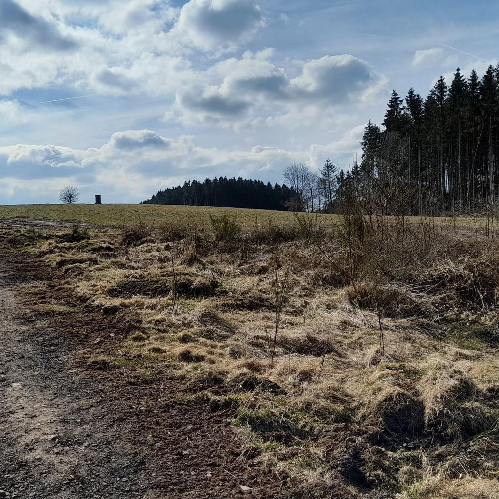
Beautiful Eifel views at 597m with rest and relaxation bench
1
0
Frequently Asked Questions
How many hiking trails are available around Jünkerath?
Jünkerath offers a diverse network of nearly 40 hiking trails, catering to various preferences and skill levels. These include a good mix of easy, moderate, and challenging routes through the region's varied landscape.
Are there easy hiking trails suitable for beginners or families?
Yes, Jünkerath has many easy trails perfect for beginners or families. For instance, the Jünkerath Reservoir loop from Glaadt is an easy 3.9 km route. The 'Schwarzer Mann' Circular Trail, mentioned in the region's research, is also highly recommended for families, featuring playgrounds and picnic areas. Another family-friendly option is the Water Path in the Wirft Valley, an easy 4.8 km trail with water attractions.
What kind of terrain can I expect on hikes around Jünkerath?
The terrain around Jünkerath is characterized by rolling hills, expansive fields, and dense forests, typical of the Vulkaneifel district. You'll find a harmonious blend of landscapes, from serene meadow paths to forest trails, offering diverse hiking experiences with varying elevations.
Are there any circular hiking routes in Jünkerath?
Many of the trails around Jünkerath are circular routes, allowing you to start and end at the same point. A popular moderate option is the View of Schüller – Seven Ways Shelter loop from Jünkerath, which is 12.6 km long and offers scenic views. Another easy loop is the Jünkerath Reservoir – Small Forest Pond loop from Glaadt, covering 6.8 km.
What are some notable landmarks or viewpoints I can discover while hiking?
Jünkerath and its surroundings offer several interesting landmarks and viewpoints. You can visit the Kalvarienberg – Tuscany of the Eifel, a natural monument offering unique landscapes. The 'Kaiser-Wilhelm-Turm' lookout tower provides incomparable panoramic views over the surrounding area. While a short drive away, the Devil's Gorge (Teufelsschlucht) near Ernzen is also a significant natural highlight with fascinating rock formations.
When is the best time of year to go hiking in Jünkerath?
The spring and autumn months are generally considered the best for hiking in Jünkerath. During these seasons, you'll experience mild temperatures and vibrant natural colors, making for a particularly picturesque hiking experience.
Are there any long-distance hiking trails accessible from Jünkerath?
Yes, Jünkerath serves as a starting point for sections of the Eifelsteig, a renowned long-distance hiking trail stretching over 313 kilometers from Aachen to Trier. Additionally, the EifelBahnSteig Stage 10, a more challenging 25.2 km route from Dahlem to Jünkerath, offers varied sections including the Moor Path Dahlem.
What do other hikers enjoy most about the trails in Jünkerath?
The trails in Jünkerath are highly rated by the komoot community, with an average score of 4.4 stars from over 180 reviews. Hikers often praise the diverse landscapes, from rolling hills to dense forests, and the well-maintained paths that offer a variety of experiences for all skill levels.
Can I explore nature reserves around Jünkerath?
Absolutely. The Glaadtbachtal Nature Reserve is a prominent feature in the area, offering fantastic wide views over the hilly landscape of the northern Eifel. You can experience this reserve on routes like the EifelSchleife Dahlemer Weitblicke, an easy 6.7 km route.
Are there any historical sites or ruins to see on the trails?
Yes, you can incorporate historical elements into your hikes. For example, the Jünkerath Reservoir – Glaadt Castle Ruins loop from Jünkerath is an easy 4.9 km trail that leads past the Glaadt Castle Ruins. Another route, the Glaadter Hut – Historic Railway Signal loop from Jünkerath, passes a historic railway signal.
Are the hiking trails around Jünkerath suitable for dogs?
While specific dog-friendly designations vary by trail, the natural landscapes of Jünkerath, with its forests and open fields, generally welcome dogs. It's always recommended to keep your dog on a leash, especially in nature reserves or near wildlife, and to carry waste bags.
How can I access the trailheads, and is parking available?
Many trailheads in and around Jünkerath are accessible by car, and parking is generally available in the town or at designated starting points for popular routes. For those relying on public transport, Jünkerath has a train station, and some trails may be accessible directly from there or via local bus services.
Most popular routes around Jünkerath
Most popular attractions around Jünkerath

Get inspired with the komoot mobile app


Explore more
Browse the best Hikes in other regions.
