The best road cycling routes in Mecapaca
26
riders
2
rides
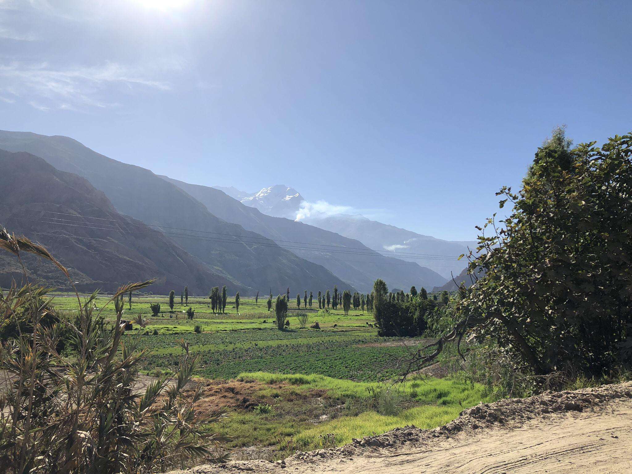
Road cycling in Mecapaca, a municipality near La Paz, Bolivia, offers routes characterized by dramatic altitudinal changes and Andean vistas. The region transitions from high-altitude plateaus into the subtropical Yungas, providing diverse terrain for cyclists. Routes often feature significant elevation gains and descents, with views of majestic mountains and river valleys. This geographical setting provides a challenging environment for road cyclists.
Best road cycling routes in Mecapaca
- The most popular road cycling route is Río de La Paz – Laguna…
Last updated: July 10, 2026
10
riders
47.1km
02:53
1,120m
1,120m
Hard road ride. Very good fitness required. Some segments of this route may be unpaved and difficult to ride.
9
riders
18.4km
01:01
400m
400m
Moderate road ride. Good fitness required. Mostly well-paved surfaces and easy to ride.

Sign up for free
7
riders
47.1km
02:45
1,010m
1,010m
Hard road ride. Very good fitness required. Some segments of this route may be unpaved and difficult to ride.
Our route recommendations are based on thousands of hikes, rides, and runs completed by other people on komoot.
Start today with a free account
Your next adventure awaits.
Login or Signup
Popular around Mecapaca
Frequently Asked Questions
How many road cycling routes are available in Mecapaca?
Komoot currently features 3 distinct road cycling routes in Mecapaca, offering a variety of experiences for cyclists.
What kind of terrain can I expect on road cycling routes in Mecapaca?
Road cycling in Mecapaca is characterized by dramatic altitudinal changes, transitioning from high-altitude Andean plateaus into the subtropical Yungas. You can expect significant elevation gains and descents, with routes often featuring challenging climbs and winding downhill stretches through diverse landscapes.
Are there routes suitable for beginners or less experienced road cyclists?
While many routes in Mecapaca are challenging, there is a moderate option available. The Río Irpavi – Río de La Paz loop from Calacoto is an 18.8 km path with varied terrain along river valleys, typically completed in about 1 hour 6 minutes, making it suitable for those with good fitness but perhaps less experience with extreme climbs.
What are the most challenging road cycling routes in Mecapaca?
For experienced cyclists seeking a challenge, the Río de La Paz – Laguna Pacajes loop from Universidad Mayor de San Andrès and the Río de La Paz – Laguna Pacajes loop from Achumani are both difficult routes. They are approximately 47 km long and feature substantial elevation changes through the dramatic Andean landscape, requiring very good fitness.
Are there any loop trails for road cycling in Mecapaca?
Yes, all the featured road cycling routes in Mecapaca are loop trails. This includes the challenging Río de La Paz – Laguna Pacajes loop from Universidad Mayor de San Andrès, the moderate Río Irpavi – Río de La Paz loop from Calacoto, and the difficult Río de La Paz – Laguna Pacajes loop from Achumani.
What natural features or viewpoints can I see along the routes?
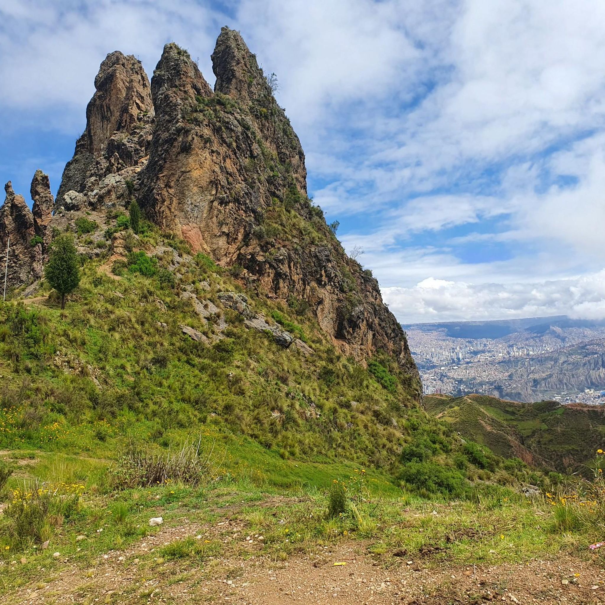
As you cycle through Mecapaca, you'll be treated to breathtaking views of the majestic Andes mountains, often including snow-capped peaks. Routes descending into the Yungas region offer lush subtropical vegetation, deep valleys, and the possibility of encountering rivers and waterfalls. The dramatic altitudinal changes themselves provide constantly shifting panoramas.
When is the best time of year to go road cycling in Mecapaca?
Given the significant altitudinal changes and transition into the subtropical Yungas, the best time to visit would generally be during the dry season (roughly May to October) to avoid heavy rains and ensure better road conditions, especially on unpaved sections. However, the specific microclimates mean conditions can vary.
Are there any cafes or places to stop for refreshments along the routes?
While specific cafes are not detailed for these routes, the region's proximity to La Paz and its agricultural activity in the Yungas suggest that small local establishments or markets might be found in villages along the way. It's advisable to carry sufficient water and snacks, especially on longer, more remote sections.
What should I consider regarding gear for road cycling in Mecapaca?
Due to the significant elevation changes and varied terrain, a road bike with good climbing gears is highly recommended. Given that some sections might be unpaved or rough, robust tires and a reliable braking system are crucial. Always carry repair kits, extra water, and appropriate clothing for changing weather conditions between high altitudes and warmer valleys.
What makes road cycling in Mecapaca unique compared to other regions?
Mecapaca's unique appeal lies in its position as a transition zone between the high Andean plateaus and the lush subtropical Yungas. This offers an unparalleled experience of dramatic altitudinal changes, from challenging climbs with Andean vistas to descents into verdant valleys, providing a diverse and adventurous cycling environment unlike many other regions.
Are there options for less crowded road cycling routes in Mecapaca?
While the region is gaining popularity, the routes listed, such as the Río Irpavi – Río de La Paz loop from Calacoto, offer a chance to experience the natural beauty without the crowds often found on more internationally renowned routes like the 'Death Road'. Exploring during off-peak hours or weekdays can further enhance a sense of solitude.
Most popular routes in Mecapaca

Get inspired with the komoot mobile app


Explore more
Browse the best Road cycling routes in other regions.
