The best running trails in Bariloche
4.5
(22)
637
runners
44
runs
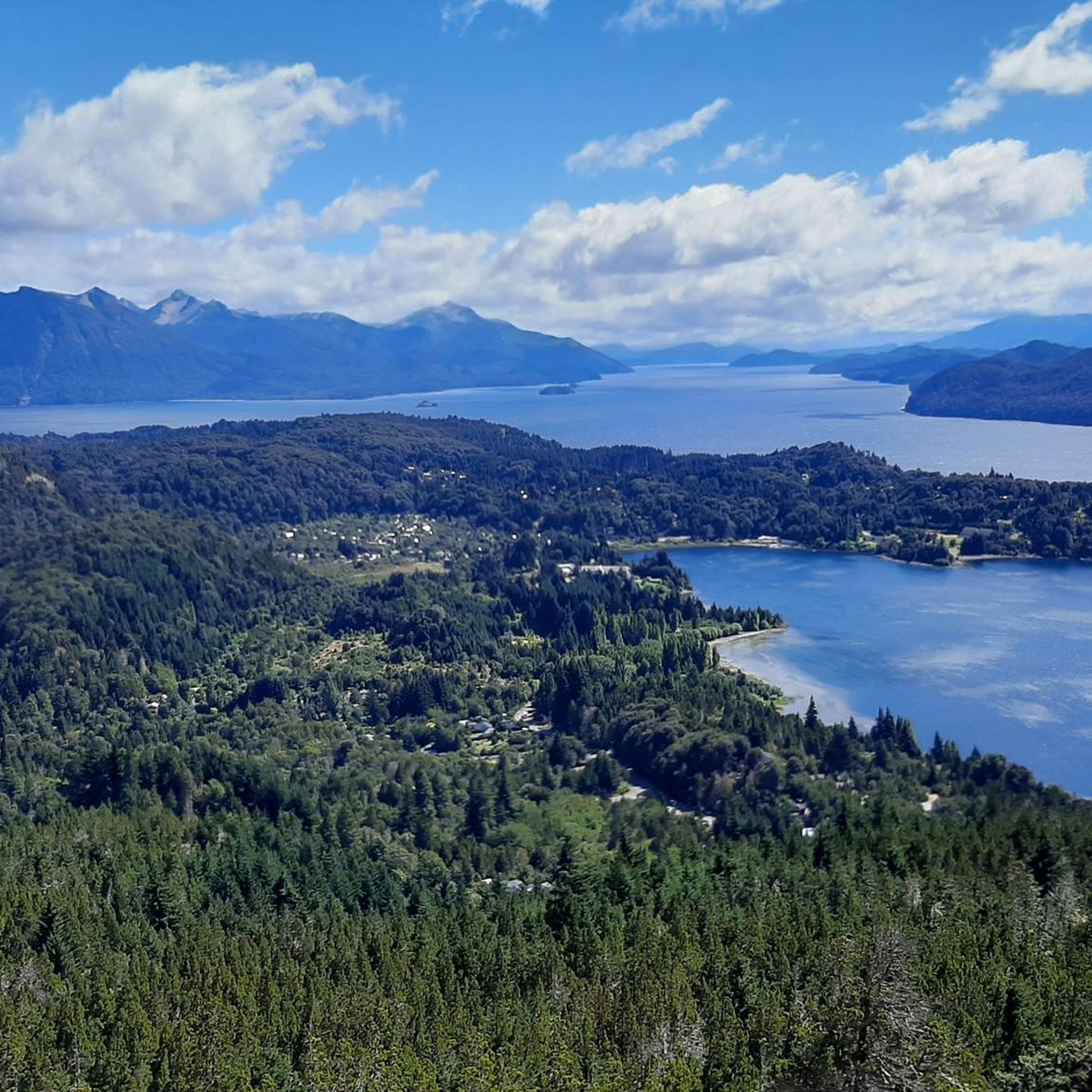
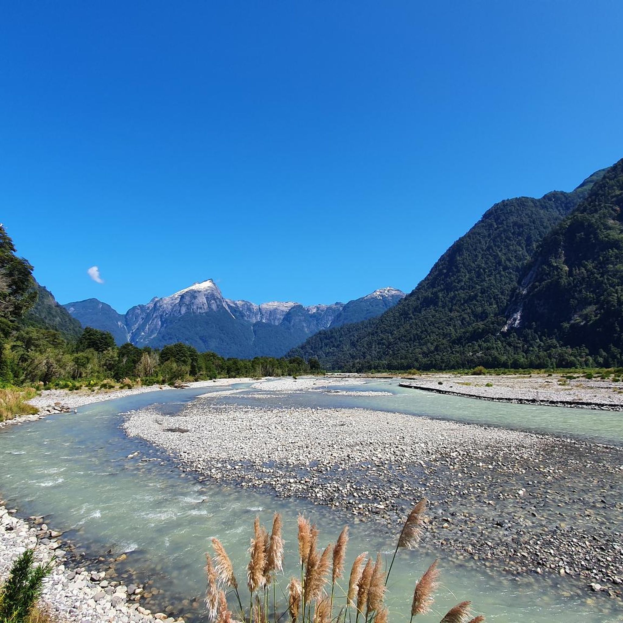
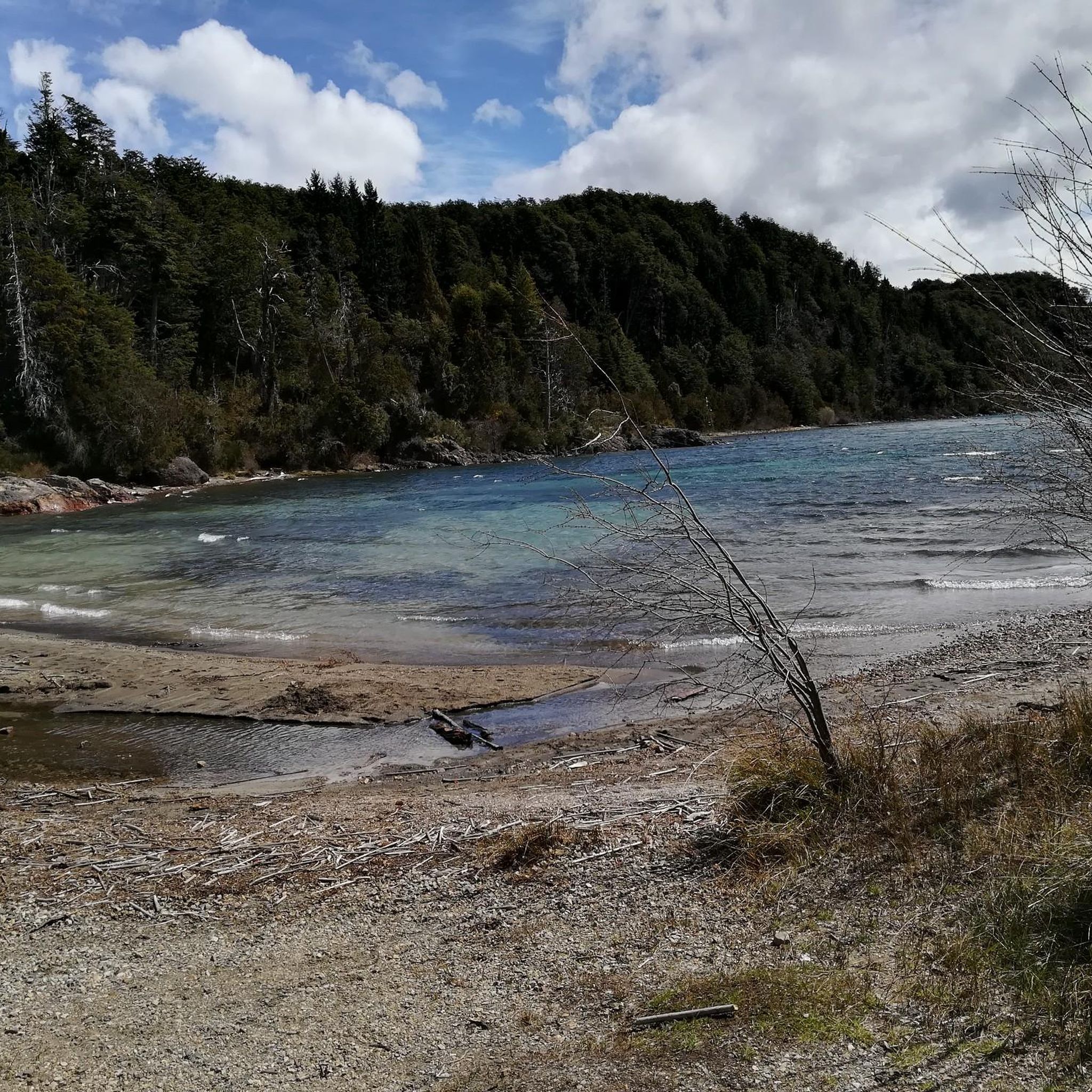
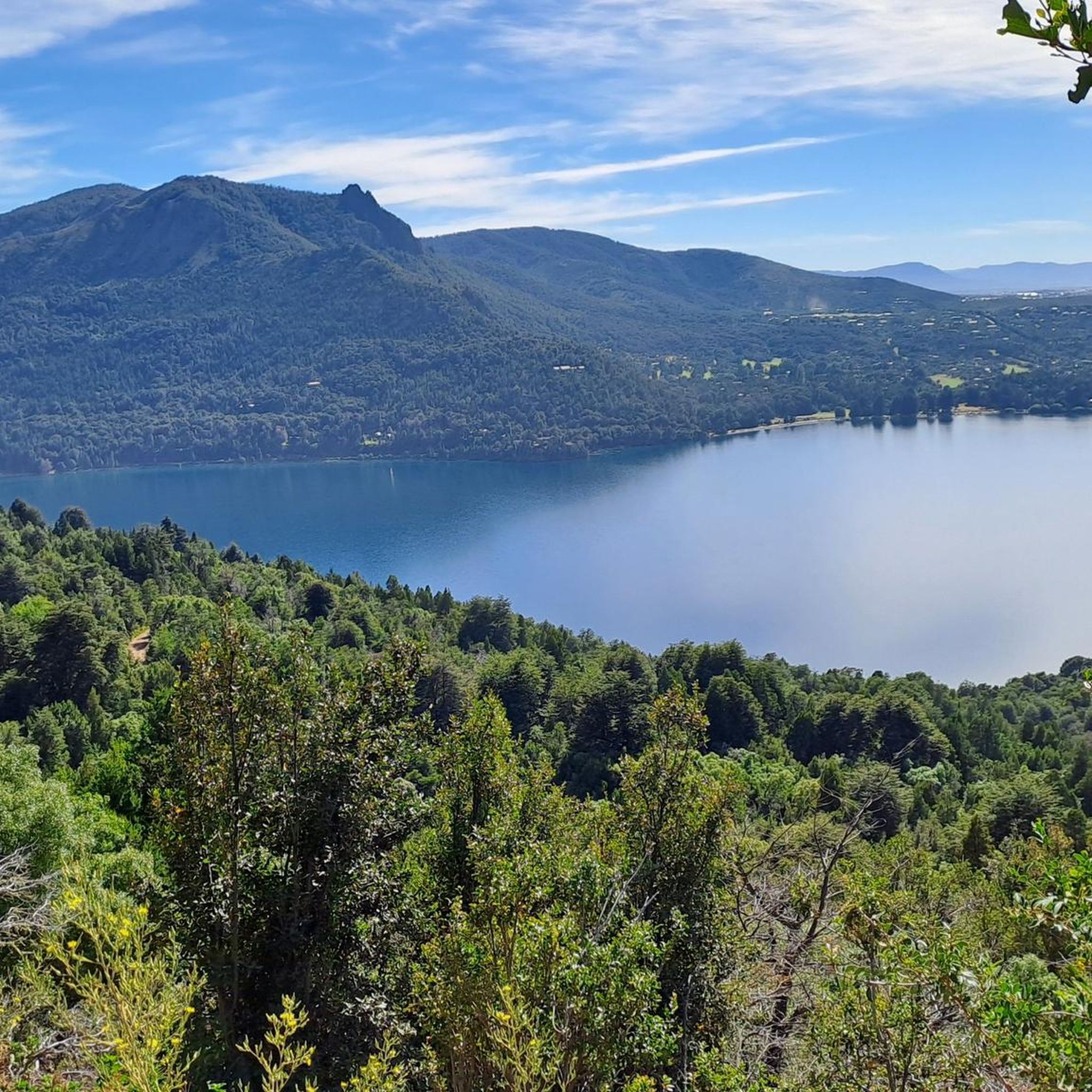
Jogging in Bariloche offers diverse terrain within the Patagonian Andes of Argentina. The region is characterized by the foothills of the Andes, pristine glacial lakes such as Nahuel Huapi, and ancient forests of cypress, coihues, and arrayanes. This landscape provides a variety of running surfaces, from accessible paths to more technical mountain trails. Situated within Nahuel Huapi National Park, the area creates a dynamic environment for runners of all skill levels.
Best jogging routes in Bariloche
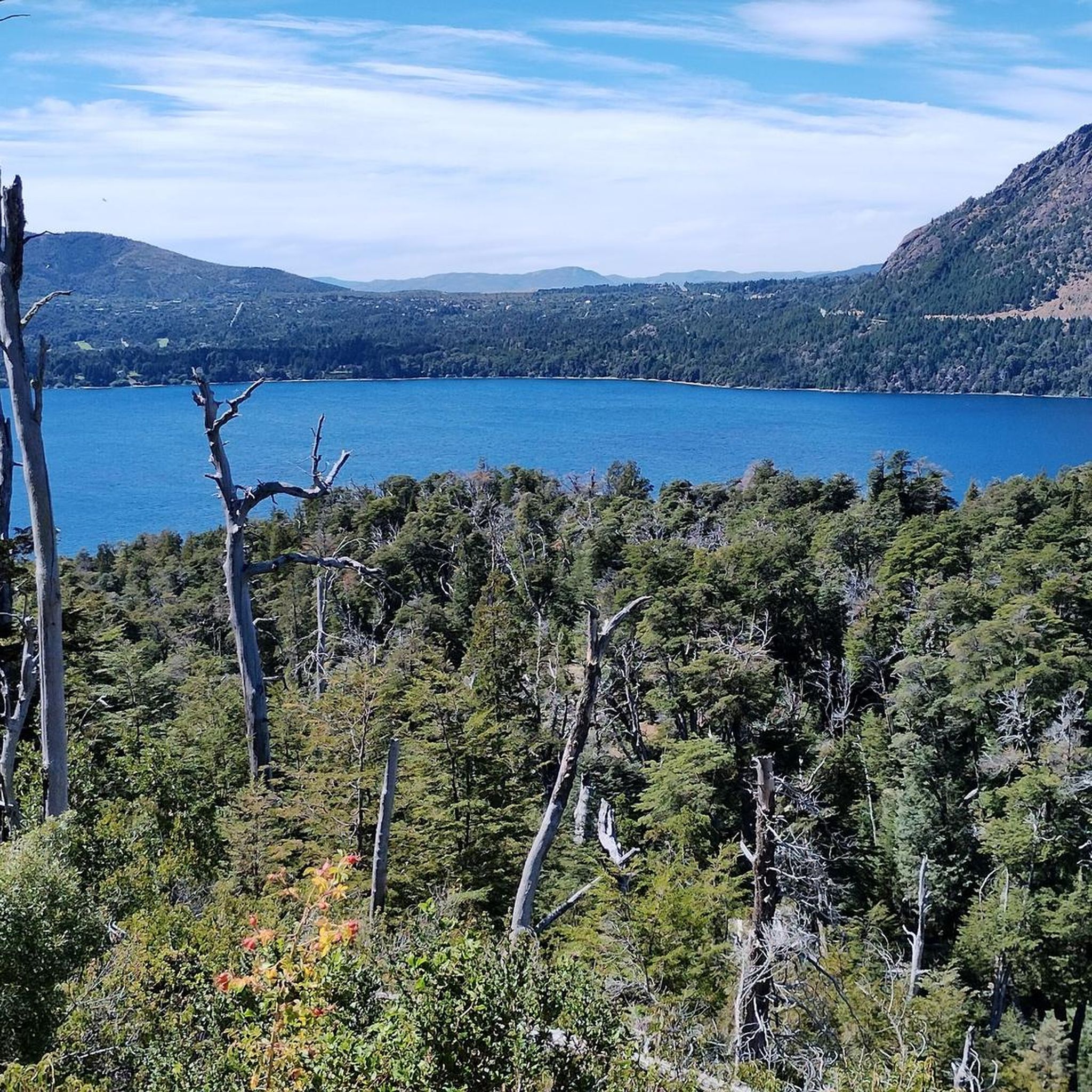
- The most popular jogging route is Mirador Nahuel Huapi – Playa Melipal loop from San Carlos de Bariloche, a 6.3 miles (10.1 km) trail that takes 1 hour 3 minutes to complete. This moderate route offers views of Lake Nahuel Huapi and features mostly paved surfaces.
- Another top favourite among local runners is Refugio Emilio Frey loop from Villa Catedral, a difficult 12.1 miles (19.5 km) path. This trail ascends through mountain terrain, providing a challenging experience with significant elevation gain.
- Local runners also love the Playa Centenario loop from San Carlos de Bariloche, a 4.5 miles (7.2 km) trail leading through lakefront areas, often completed in about 45 minutes.
- Jogging in Bariloche is defined by Andes foothills, pristine lakes, and ancient forests. The network offers options for different ability levels, from easy lakeside paths to challenging mountain ascents.
- The routes in Bariloche are highly rated by the komoot community with an average score of 4.3 stars from over 20 reviews. More than 620 runners have used komoot to explore Bariloche's varied terrain.
Last updated: July 9, 2026
5.0
(1)
70
runners
Moderate run. Good fitness required. Mostly paved surfaces. Suitable for all skill levels.
5.0
(1)
52
runners
19.2km
02:47
760m
760m
Hard run. Very good fitness required. Mostly paved surfaces. Suitable for all skill levels.

Sign up for free
41
runners
7.35km
00:46
50m
50m
Moderate run. Good fitness required. Mostly paved surfaces. Suitable for all skill levels.
4.0
(2)
19
runners
9.88km
01:04
160m
160m
Moderate run. Good fitness required. Mostly paved surfaces. Suitable for all skill levels.
22
runners
24.7km
03:35
1,050m
1,050m
Hard run. Very good fitness required. Mostly paved surfaces. Suitable for all skill levels.
21
runners
9.37km
01:00
80m
80m
Moderate run. Good fitness required. Mostly paved surfaces. Suitable for all skill levels.
17
runners
17.3km
02:11
410m
410m
Hard run. Very good fitness required. Mostly paved surfaces. Suitable for all skill levels.
15
runners
11.9km
01:38
360m
360m
Hard run. Very good fitness required. Mostly paved surfaces. Suitable for all skill levels.
17
runners
10.1km
01:03
100m
100m
Moderate run. Good fitness required. Mostly paved surfaces. Suitable for all skill levels.
15
runners
4.95km
00:31
40m
30m
Easy run. Great for any fitness level. Mostly paved surfaces. Suitable for all skill levels.
Get access to more routes and recommendations from other explorers.
Sign up for free
Already have an account?
Our route recommendations are based on thousands of hikes, rides, and runs completed by other people on komoot.
Start today with a free account
Your next adventure awaits.
Login or Signup
Popular around Bariloche
Other adventures in Bariloche

Tips from the Community

In the village of Cerro Catedral there are many food stalls, with waffles and crepes, as well as hotels, restaurants and many services, both in winter and summer.
0
0

The Van Titter stream originates in Schmoll Lagoon and flows down through the rock formations of Cerro Catedral to Toncek Lagoon, within Nahuel Huapi National Park. Its waters, fed by Andean snowmelt, create small waterfalls and sections of current that accompany part of the trail to Refugio Frey.
0
0
Aguja Frey is an imposing granite tower located next to Laguna Toncek, in the heart of Cerro Catedral and Nahuel Huapi National Park. It is one of the most iconic peaks for climbing in the Bariloche region, with routes of varying difficulty that attract mountaineers from all over the world.
1
0
Toncek Lagoon, located at an altitude of 1,700 meters on Cerro Catedral, is notable for the intense green color of its waters and its surrounding granite towers, which attract mountaineers and photographers. On its shores stands the Emilio Frey Refuge, a key point for hikers exploring Nahuel Huapi National Park. In summer, it's an ideal place to rest after a hike and enjoy the views, while in winter it often freezes over, creating a spectacular landscape.
2
0
Refugio Frey, at an altitude of 1,700 meters next to Laguna Toncek in Nahuel Huapi National Park, is one of Bariloche's most iconic mountain destinations. Surrounded by granite towers ideal for climbing, it offers lodging for mountaineers and hikers arriving after a trek from Cerro Catedral or Lago Gutiérrez. In summer, it's perfect for trekking and rock climbing, while in winter it attracts expert skiers with its steep slopes and abundant snow. Access requires good footwear and caution due to the unpredictable weather conditions typical of high mountain terrain.
2
0

The hike to Refugio Frey in Nahuel Huapi National Park is a true adventure for outdoor enthusiasts. The trail leads you through diverse landscapes: first through dense forests and alongside streams, later the path becomes rockier and winds its way through an alpine setting. At the end, the cozy refuge awaits, nestled amidst a dramatic mountain landscape – an ideal place to relax after the climb. The refuge itself is simple yet charming, offering accommodation for hikers who want to spend the night in the mountains. The surrounding area is characterized by rugged cliffs, and the views of the surrounding peaks are breathtaking. The area is also particularly popular with climbers who take advantage of the sharp rock formations around the refuge. What I especially loved about this hike was the opportunity to completely disconnect. The refuge's remote location, far from roads and villages, allows you to enjoy the tranquility of the mountains. A little tip: Pack plenty of warm clothes, as temperatures can drop quickly up here, especially in the evening. If you have time, it's worth staying overnight and experiencing the sunrise over the mountains.
2
2

The small, rustic hut Refugio Frey is located at 1,700 meters in the Nahuel Huapi National Park. The ascent to the Refugio from Villa Catedral is via an easily walkable hiking trail, which becomes strenuous in the last section. You should bring some fitness with you. The hut offers overnight accommodation. Directly adjacent there are a number of climbing opportunities on high granite walls. Food and water are also provided at the hut. Reservation is required. Online registration before boarding is also mandatory.
0
0
The beautiful lake Laguna Toncek is located directly at Refugio Frey at 1,700 meters. Surrounded by imposing granite rock walls that make the heart of every climber beat faster.
1
0
Frequently Asked Questions
How many running routes are available in Bariloche?
Bariloche offers a wide selection of running routes, with over 45 trails documented on komoot. These routes cater to various skill levels, from easy lakeside paths to challenging mountain ascents within Nahuel Huapi National Park.
Are there easy running routes suitable for beginners or families in Bariloche?
Yes, Bariloche has several easy running paths perfect for beginners or families. These routes often feature gentler terrain and stunning lake views. For example, the Mirador Nahuel Huapi loop from Belgrano is a moderate 5.4 km route with minimal elevation gain, offering beautiful scenery along the lake.
What are some challenging trail running options in Bariloche?
For experienced trail runners seeking a challenge, Bariloche, known as the 'heart of Patagonian trail running,' offers demanding routes with significant elevation. The Refugio Emilio Frey loop from Villa Catedral is a difficult 19.5 km path ascending through mountain terrain, providing a strenuous experience with rewarding views. Another challenging option is the Playa Los Coihues – Refugio Emilio Frey loop from Villa Los Coihues, which covers nearly 25 km with over 1000 meters of elevation gain.
Are there circular running routes in Bariloche?
Many of Bariloche's running trails are designed as loops, allowing you to start and finish at the same point. Popular circular routes include the Mirador Nahuel Huapi – Playa Melipal loop, which offers views of Lake Nahuel Huapi, and the Mirador de Las Victorias – Playa del Centro loop, both providing scenic experiences.
What kind of landscapes can I expect to see while running in Bariloche?
Running in Bariloche immerses you in diverse Patagonian landscapes. You'll encounter the majestic Andes foothills, pristine glacial lakes like Nahuel Huapi, and ancient forests of cypress, coihues, and arrayanes trees. Routes often feature panoramic viewpoints, offering breathtaking vistas of the surrounding mountains and water bodies.
What do other runners enjoy most about the trails in Bariloche?
The running routes in Bariloche are highly rated by the komoot community, with an average score of 4.3 stars from over 20 reviews. Runners frequently praise the stunning natural beauty, the variety of terrain, and the well-maintained paths that allow for an immersive experience in the Patagonian wilderness.
Are there any notable landmarks or attractions along the running routes?
Yes, several running routes pass by or lead to significant landmarks. For instance, challenging trails can lead to areas like the Frey Shelter, renowned for its stunning mountain views. The wider Bariloche area also features attractions like the Llao Llao Viewpoint and the scenic Circuito Chico, which offers numerous running opportunities.
What is the best time of year for running in Bariloche?
Bariloche offers year-round opportunities for outdoor activities. While summer (December to February) provides warmer weather and longer daylight hours ideal for exploring all types of trails, spring and autumn offer pleasant temperatures and vibrant scenery. Winter running is also possible, especially on lower elevation trails, though some mountain routes may require specialized gear due to snow and ice.
Are there running routes accessible by public transport in Bariloche?
Many routes in Bariloche are accessible from the city center or nearby towns, which are served by local public transport. For example, routes starting from San Carlos de Bariloche or Villa Catedral often have public transport options nearby, making it convenient to reach the trailheads without a car.
Can I find running routes that offer views of Lake Nahuel Huapi?
Absolutely. Lake Nahuel Huapi is a central feature of the Bariloche landscape, and many running routes offer spectacular views of its crystal-clear waters. The Mirador Nahuel Huapi loop is a prime example, providing continuous lakeside scenery and panoramic vistas of the lake and surrounding mountains.
Are there any running routes that go through forests?
Yes, Bariloche is home to lush ancient forests of cypress, coihues, and arrayanes trees, and many running trails wind through these shaded environments. These forest paths offer a refreshing experience, especially during warmer months, and provide a different kind of scenic beauty compared to open lake views.
What is the average duration for a running route in Bariloche?
The duration of running routes in Bariloche varies significantly based on distance and difficulty. Moderate routes like the Playa Centenario loop (7.2 km) can be completed in about 45 minutes, while more challenging and longer trails, such as the Playa Los Coihues – Playa Muñoz loop (17.3 km), might take over 2 hours to complete.
Most popular attractions in Bariloche

Get inspired with the komoot mobile app


Didn’t find what you were looking for?
Check out more Running Trails & Routes throughout Bariloche below and find the perfect route in your destination.
Explore more
Browse the best Running Trails & Routes in other regions.
