The best walks and hikes in Bariloche
4.7
(688)
4,839
hikers
65
hikes
Hiking in Bariloche offers access to diverse terrain within Argentina's Patagonia region, centered around Nahuel Huapi National Park. The landscape features a combination of the Andes Mountains, extensive glacial lakes such as Lake Nahuel Huapi, and dense forests. This area provides a variety of hiking trails, from accessible paths to challenging mountain ascents, traversing valleys, and leading to mountain refuges. The region's physical geography supports a wide range of outdoor activities.
Best hiking trails in Bariloche
- The most popular hiking route is Sendero Villa Tacul — Parque Municipal Llao Llao, a 9.8 miles (15.8 km) trail that takes 4 hours 45 minutes to complete. This moderate route explores the Llao Llao Municipal Park area.
- Another top favourite among local hikers is Cerro Otto Loop Trail, a moderate 10.1 miles (16.2 km) path. This trail offers views of Lake Nahuel Huapi and the surrounding landscape from Cerro Otto.
- Local hikers also love the Mirador Llao Llao por el sendero Villa Tacul — ida y vuelta, a 3.6 miles (5.8 km) trail leading through forested areas to viewpoints, often completed in about 1 hour 55 minutes.
- Hiking in Bariloche is defined by glacial lakes, Andean peaks, and ancient forests. The network offers options for various ability levels, including easy family-friendly walks and more demanding multi-day treks to mountain refuges.
- The routes in Bariloche are highly rated by the komoot community with an average score of 4.8 stars from over 700 reviews. More than 4000 hikers have used komoot to explore Bariloche's varied terrain.
Last updated: July 7, 2026
4.8
(88)
432
hikers
15.8km
04:45
400m
400m
Moderate hike. Good fitness required. Mostly accessible paths. Sure-footedness required.
4.5
(49)
225
hikers
16.2km
04:50
510m
510m
Hike the moderate 10.1-mile Cerro Otto trail to Refugio Berghof for panoramic views of Lake Nahuel Huapi and Bariloche.

Sign up for free
4.8
(40)
256
hikers
5.82km
01:56
210m
210m
Moderate hike. Great for any fitness level. Mostly accessible paths. Sure-footedness required.
4.6
(17)
132
hikers
19.4km
06:08
1,110m
1,110m
Hard hike. Very good fitness required. Sure-footedness, sturdy shoes and alpine experience required.
4.8
(30)
207
hikers
7.50km
02:35
330m
330m
Moderate hike. Good fitness required. Mostly accessible paths. Sure-footedness required.
4.8
(13)
156
hikers
25.5km
09:46
810m
810m
Hike the difficult 15.9-mile Sendero San Martín a Laguna Jakob in Nahuel Huapi National Park, gaining 2665 feet to a mountain lake.
4.6
(14)
100
hikers
5.90km
01:45
170m
170m
Hike the easy Piedra de Habsburgo trail from Cerro Otto for panoramic views of Lake Nahuel Huapi and surrounding peaks in Bariloche.
5.0
(3)
96
hikers
23.5km
09:17
1,040m
1,040m
Hard hike. Very good fitness required. Mostly accessible paths. Sure-footedness required.
4.8
(4)
68
hikers
9.78km
04:37
1,000m
1,000m
Hike the difficult 6.1-mile Cerro Piltriquitrón Trail to gain 3291 feet in elevation, see the Bosque Tallado, and enjoy panoramic views.
4.8
(4)
68
hikers
9.78km
04:37
1,000m
1,000m
Hard hike. Very good fitness required. Easily-accessible paths. Suitable for all skill levels.
Get access to more routes and recommendations from other explorers.
Sign up for free
Already have an account?
Our route recommendations are based on thousands of hikes, rides, and runs completed by other people on komoot.
Start today with a free account
Your next adventure awaits.
Login or Signup
Popular around Bariloche
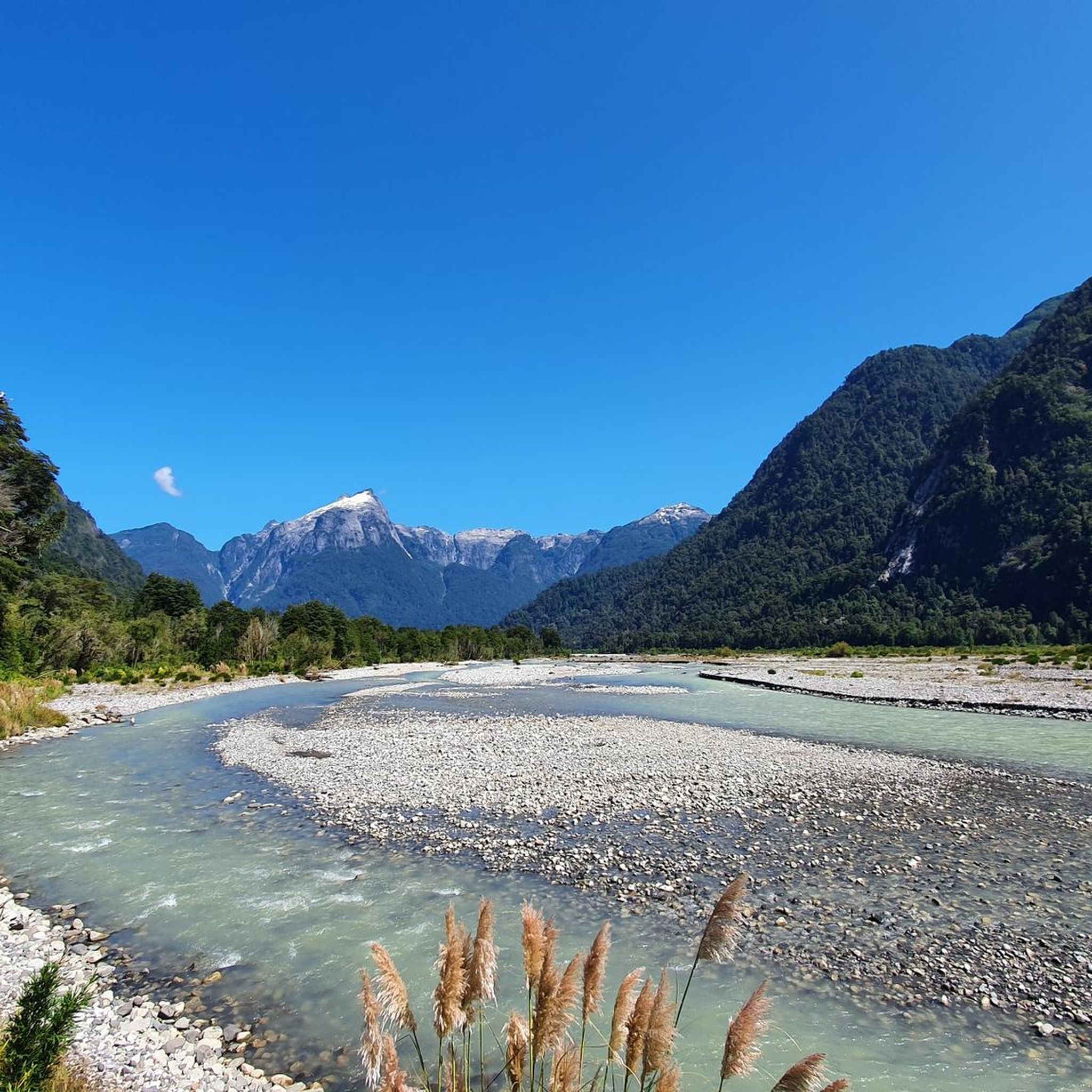
Hiking in Reserva Natural Urbana Lago Morenito Laguna Ezquerra
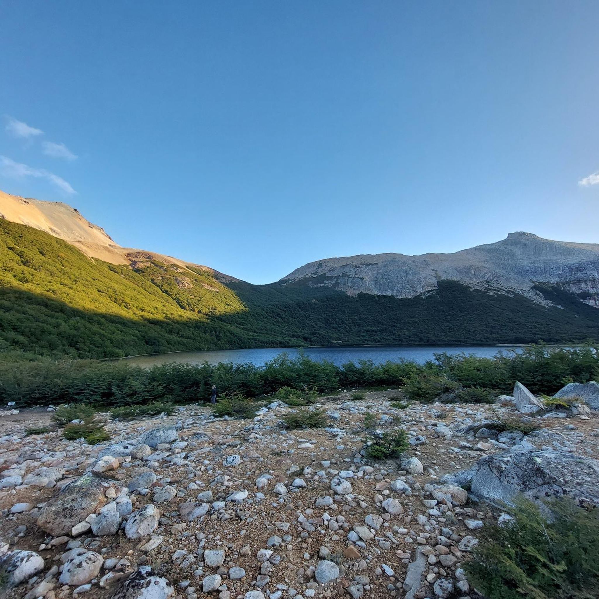
Hiking in Reserva Natural Estricta Cerro Capilla
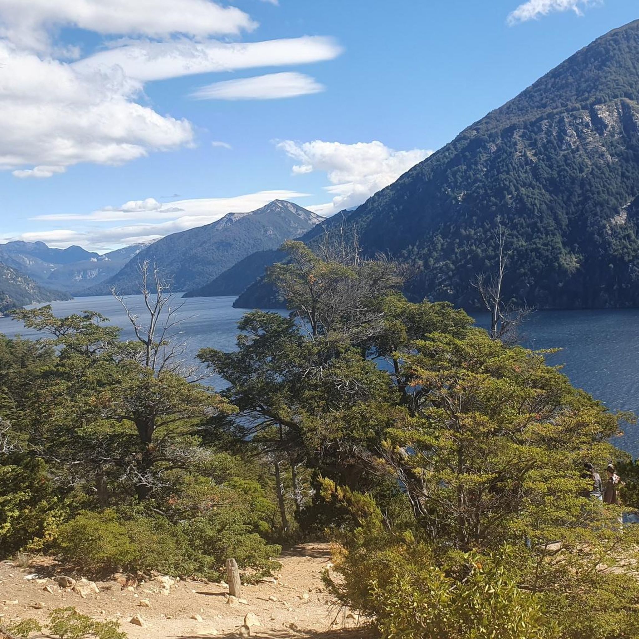
Hiking in Parque Municipal Llao Llao
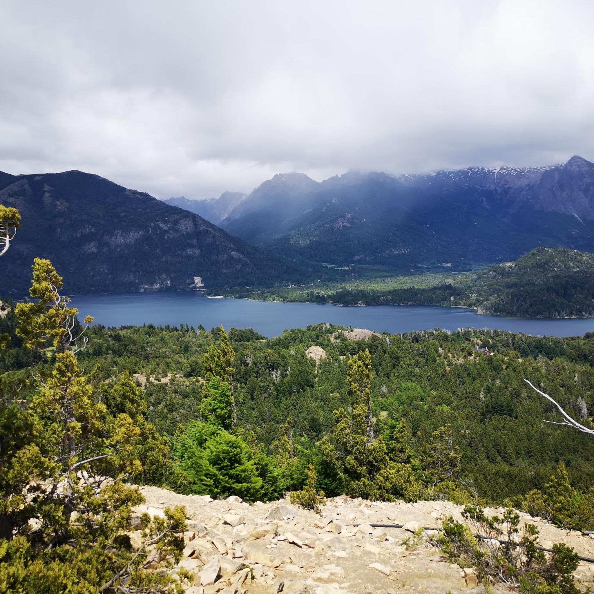
Hiking in Reserva Natural Urbana Laguna El Trebol
Between Chile and Argentina — Andean lakes and volcanoes
Cycling in Bariloche
Running Trails in Bariloche
MTB Trails in Bariloche
Other adventures in Bariloche

Tips from the Community

Beautiful trail, with swimming spots in summer.
0
0

The Otto Meiling refuge is a mountain refuge at almost two thousand meters on the eastern slope of Mount Tronador, in Nahuel Huapi National Park. Opened in 1971 in honor of the German pioneer Otto Meiling, it offers capacity for forty people with a shared kitchen, Patagonian meals, and guided excursions to the glacier.
0
0
The views from this viewpoint are unforgettable. The water melting from the enormous Castaño Overa glacier cascades down the rock face, forming an impressive waterfall.
0
0
The Carved Forest is an open-air museum on the slopes of Piltriquitrón Hill, built on the site of an ancient lenga forest that burned in the 1970s and 80s. Initiated in 1998 by Marcelo López, it features over fifty sculptures carved from dry tree trunks by local and international artists. It offers a 45- to 60-minute walking trail with views of the El Bolsón Valley, Lake Puelo, and the Andes Mountains.
0
0

The Habsburg Stone viewpoint offers a spectacular panoramic view of Lake Nahuel Huapi and the surrounding mountains, with a perfect natural balcony for enjoying the scenery. The climb is short but steep in some sections, so it's best to take it easy and wear good shoes. It's one of the most photogenic spots in the area and an ideal reward at the end of the trail.
0
0
The viewpoint at 1340 meters on the route to Piedra de Habsburgo offers sweeping views of the valley, the mountains surrounding Bariloche, and Lake Nahuel Huapi, framed by peaks. It's a very photogenic stop and a good place to catch your breath before continuing the climb.
0
0

From the summit, the views are simply breathtaking. All around you rise mountains that follow one another in every direction, forming a natural amphitheater of ridges and undulating slopes.
0
0

Facing the lagoon is Refugio Jakob, perfect for an overnight stay if needed. Don't forget to book and check all the requirements for your stay. Here's all the info: https://refugiojakob.com.ar/
0
0
Frequently Asked Questions
How many hiking trails are available in Bariloche?
Bariloche offers a wide variety of hiking experiences, with over 60 routes available for exploration. These trails cater to all skill levels, from easy strolls to challenging multi-day treks.
Are there easy hikes suitable for beginners or families in Bariloche?
Yes, Bariloche has several easy trails perfect for beginners and families. The Piedra de Habsburgo Trail is an easy option. Additionally, the Llao Llao Municipal Park features accessible paths like the Arrayanes Trail and Lago Escondido, offering beautiful scenery without significant difficulty.
Can I find trails with waterfalls in Bariloche?
Absolutely. The area around Villa Los Coihues and Lago Gutiérrez is known for its natural beauty, including waterfalls. You can hike to the beautiful Los Duendes Waterfall, which is a popular and accessible attraction.
Are there any circular hiking routes in Bariloche?
Yes, Bariloche offers several circular routes. For a challenging full-day experience, consider the Refugio Frey desde Villa Catedral por la Punta Princesa — circular. Another option is the Cerro Otto Loop Trail, which provides stunning views of Lake Nahuel Huapi.
What are some notable landmarks or viewpoints to see while hiking in Bariloche?
Bariloche is rich in stunning viewpoints and natural landmarks. Cerro Campanario is renowned for offering some of the best panoramic views in Patagonia. You can also find incredible scenery and viewpoints along the Mirador Llao Llao por el sendero Villa Tacul, leading to picturesque vistas.
What do other hikers enjoy most about hiking in Bariloche?
The hiking trails in Bariloche are highly rated by the komoot community, with an average score of 4.8 stars from over 700 reviews. Hikers frequently praise the diverse terrain, the breathtaking views of glacial lakes and the Andes, and the well-maintained paths that lead to stunning natural attractions.
Are there opportunities for multi-day treks or staying in mountain refuges?
Yes, Bariloche is famous for its mountain refuges, which offer rest and overnight stays for hikers. Popular routes lead to refuges like Refugio Frey and Refugio Jakob. For example, the Sendero San Martín a Laguna Jakob is a challenging trek to one of these iconic refuges.
What are the best trails for experiencing Bariloche's famous lake views?
Many trails in Bariloche offer spectacular lake views. The Sendero Villa Tacul — Parque Municipal Llao Llao explores the Llao Llao peninsula, providing constant glimpses of Lake Nahuel Huapi. The Cerro Otto area also offers expansive views over the lake and surrounding mountains.
Are there any challenging hikes for experienced trekkers?
Bariloche caters to experienced trekkers with several difficult routes. The Circular al refugio Otto Meiling desde Pampa Linda is a demanding trail that takes you through rugged terrain to a mountain refuge, offering a true Patagonian adventure.
What is the best time of year for hiking in Bariloche?
The best time for hiking in Bariloche is generally during the warmer months, from late spring to early autumn (November to April). During this period, trails are mostly clear of snow, and the weather is more stable, making for ideal hiking conditions. However, some trails are accessible year-round, with winter offering unique snowshoeing opportunities.
Can I reach trailheads using public transport in Bariloche?
Many popular trailheads in Bariloche are accessible by local bus services. The Circuito Chico route, for instance, has several bus stops that provide access to various hiking paths and attractions, making it convenient for hikers without private transportation.
Are there any trails that lead to high mountain peaks?
Yes, Bariloche is set against the dramatic backdrop of the Andes Mountains, and several trails lead to impressive peaks. While Cerro Tronador is the highest, trails like the Cerro Piltriquitrón Trail offer significant elevation gain and rewarding views from the summit.
Most popular attractions in Bariloche

Get inspired with the komoot mobile app


Didn’t find what you were looking for?
Check out more Hikes throughout Bariloche below and find the perfect route in your destination.
Explore more
Browse the best Hikes in other regions.
