The best walks and hikes in Tianguismanalco
4.9
(26)
207
hikers
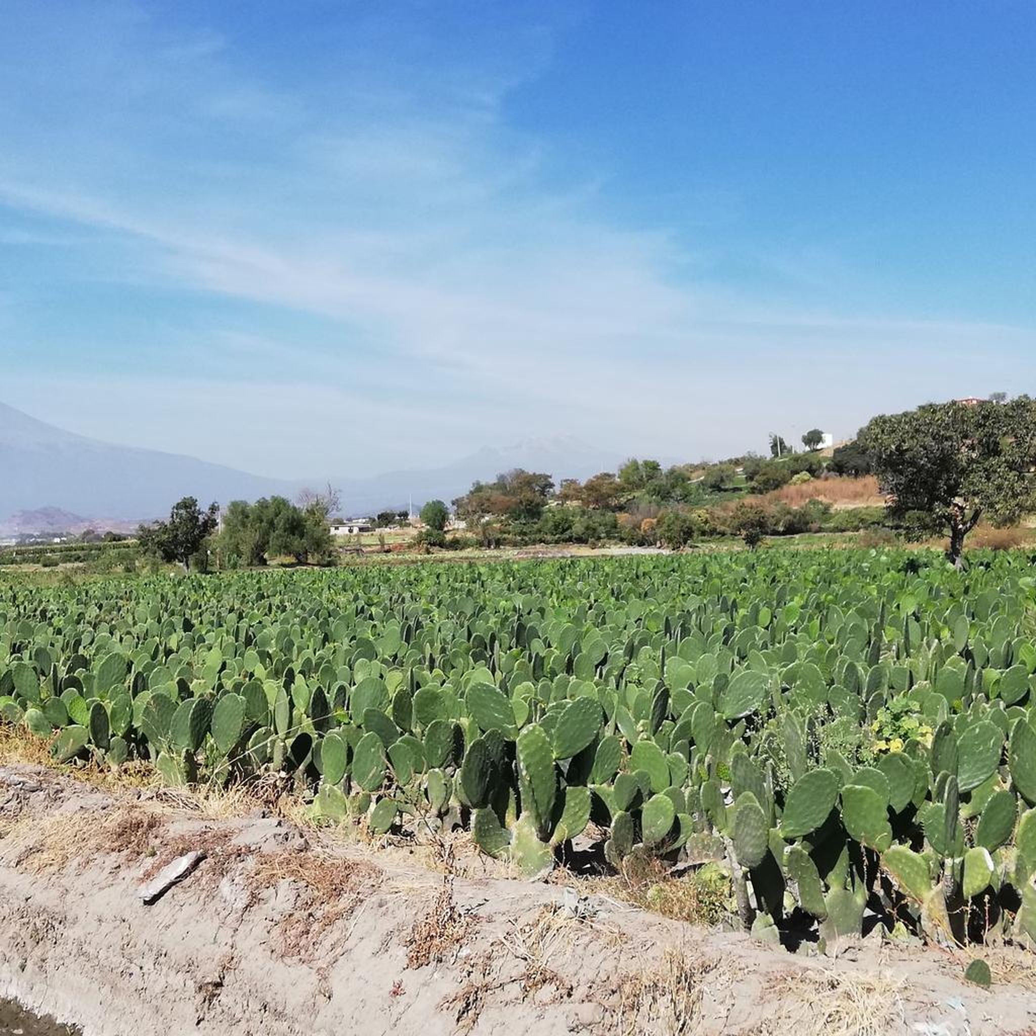
Hiking in Tianguismanalco offers diverse natural landscapes at the foot of the Sierra Nevada in Puebla, Mexico. The region is characterized by its volcanic terrain, including the Malpaís de Nealtican with its unique volcanic rock and sand, and dense pine-oak forests. Altitudes range between 1940 and 2220 meters above sea level, providing varying elevations and panoramic views of the Popocatépetl and Iztaccíhuatl volcanoes. Natural features like the San Pedro Atlixco Waterfall add to the area's appeal for outdoor activities.
Best…
Last updated: July 1, 2026
4.7
(22)
162
hikers
13.1km
04:47
410m
410m
Hard hike. Good fitness required. Sure-footedness, sturdy shoes and alpine experience required.
5.0
(1)
9
hikers
15.6km
04:46
400m
400m
Moderate hike. Good fitness required. Mostly accessible paths. Sure-footedness required.

Sign up for free
5.0
(2)
7
hikers
4.71km
01:36
100m
100m
Moderate hike. Great for any fitness level. Mostly accessible paths. Sure-footedness required.
Our route recommendations are based on thousands of hikes, rides, and runs completed by other people on komoot.
Start today with a free account
Your next adventure awaits.
Login or Signup
Popular around Tianguismanalco

Tips from the Community

It is not such a perfect area for resting, due to the amount of people, but it is worth visiting if you are on a basic training plan
0
0

Important: It is highly recommended to book your hiking trip in advance (free of costs). There are only limited spaces in each time slot and especially in high season it can happen that all slots are full. We almost could not hike in low season (January). In the information centre you have to fill out a formular with your booked slot and information about your group, which has to be handed out at the start of your hike at the small wooden cabin.
0
0


Small hill on 3.950 meters with a view around the high vulkanos.
2
0
Starting point for hikes on the volcanoes. Located at 3,600 meters, the air is much thinner.
2
0

This is the start of the standard route to the top of Ixta. You will be glad to see this place in about twelve hours time but in the meantime an adventure awaits you. I love Mexico and its great mountains!
4
1
Frequently Asked Questions
What kind of landscapes can I expect to see while hiking in Tianguismanalco?
Tianguismanalco offers diverse natural landscapes, characterized by its volcanic terrain at the foot of the Sierra Nevada. You'll encounter unique features like the Malpaís de Nealtican, an expanse of volcanic rock and sand, and dense pine-oak forests. Many trails provide breathtaking panoramic views of the iconic Popocatépetl and Iztaccíhuatl volcanoes.
Are there any waterfalls or natural attractions to visit in Tianguismanalco?
Yes, a notable natural attraction is the San Pedro Atlixco Waterfall, a beautiful 15-meter high cascade surrounded by picturesque pines and oaks. While not directly on every hiking route, it's a serene spot that can be incorporated into a broader exploration of the area.
What is the general difficulty level of hiking trails in Tianguismanalco?
The hiking trails in Tianguismanalco offer a range of options. Based on our current selection, routes like the Apatlaco River Waterfall – Paso de Cortés loop from Paso de Cortés are considered moderate, providing a good balance of challenge and accessibility. The region's varying altitudes mean you can find paths suitable for different fitness levels.
Are there any circular hiking routes available in Tianguismanalco?
Yes, many of the popular routes in Tianguismanalco are circular. For example, the Paso de Cortés loop from Paso de Cortés is a moderate 8.0 km path that allows you to return to your starting point without retracing your steps. Another option is the shorter Pico de Orizaba Visitor Center – Paso de Cortés loop from Paso de Cortés.
What do other hikers say about the trails in Tianguismanalco?
The hiking routes in Tianguismanalco are highly rated by the komoot community, with an average score of 5.0 stars from over 20 reviews. Hikers often praise the stunning volcanic rock formations, the beauty of the pine-oak forests, and the incredible views of Popocatépetl and Iztaccíhuatl volcanoes.
How long do hikes typically take in Tianguismanalco?
Hike durations vary depending on the route and your pace. For instance, the Apatlaco River Waterfall – Paso de Cortés loop from Paso de Cortés, which is 15.6 km, typically takes around 4 hours and 46 minutes. Shorter loops like the Pico de Orizaba Visitor Center – Paso de Cortés loop from Paso de Cortés can be completed in about 1 hour and 36 minutes.
What is the best season for hiking in Tianguismanalco?
While specific seasonal recommendations can vary, the region's climate generally allows for hiking throughout much of the year. However, it's always advisable to check local weather forecasts, especially concerning volcanic activity or heavy rainfall, which could impact trail conditions.
Are there any specific landmarks or points of interest along the hiking trails?
Many trails offer views of significant landmarks like the Popocatépetl and Iztaccíhuatl volcanoes. The area around Paso de Cortés is a common starting point and offers access to various routes that explore the volcanic landscape. While not a trail landmark, San Baltazar Atlimeyaya, known for its trout farms, is also nearby and offers a glimpse into local aquaculture.
Is public transport available to reach hiking starting points in Tianguismanalco?
Information on specific public transport routes directly to trailheads is limited. It is generally recommended to plan for private transportation or local taxi services to reach more remote starting points, especially those closer to the volcanoes or within the Malpaís de Nealtican area.
Are permits required for hiking in the Tianguismanalco area, especially near the volcanoes?
Hiking in areas close to the Popocatépetl and Iztaccíhuatl volcanoes, particularly within the Iztaccíhuatl-Popocatépetl National Park, may require permits or registration, especially for higher altitudes or specific routes. Always check with local authorities or park management for the most current requirements before planning your hike.
Are there options for food and accommodation near the hiking areas in Tianguismanalco?
While Tianguismanalco is a smaller municipality, you can find local eateries and basic services. For a wider range of restaurants, cafes, and accommodation options, you might consider nearby larger towns or cities in the state of Puebla, which are typically a short drive away.
Most popular routes in Tianguismanalco

Get inspired with the komoot mobile app


Explore more
Browse the best Hikes in other regions.
