Attractions and Places To See around Huckelheimer Wald - Top 20
Best attractions and places to see around Huckelheimer Wald include natural and historical sites within the northern Spessart region. The area is characterized by forested landscapes, geological formations like the Beilstein Basalt Formation, and peaks such as Hoher Querberg at 474 meters. Historical mining sites, including the Wilhelmine Copper Mine, also contribute to the region's points of interest. Visitors can explore diverse geological features and man-made underground sites.
Best attractions and places to see around Huckelheimer Wald
- The most popular…
Last updated: October 9, 2026
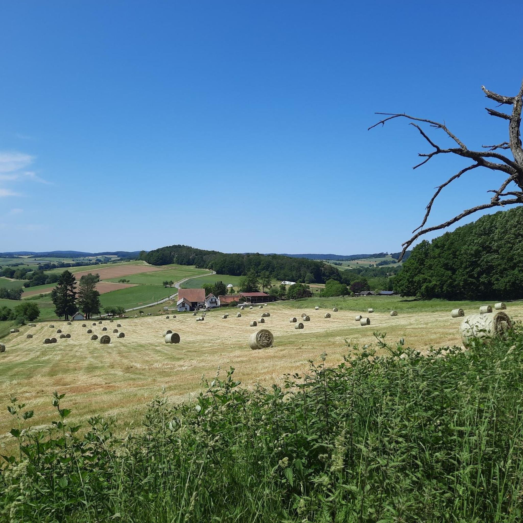
Kahltal Cycle Path near Michelbach
Highlight • Cycleway
Translated by Google •
Tip by

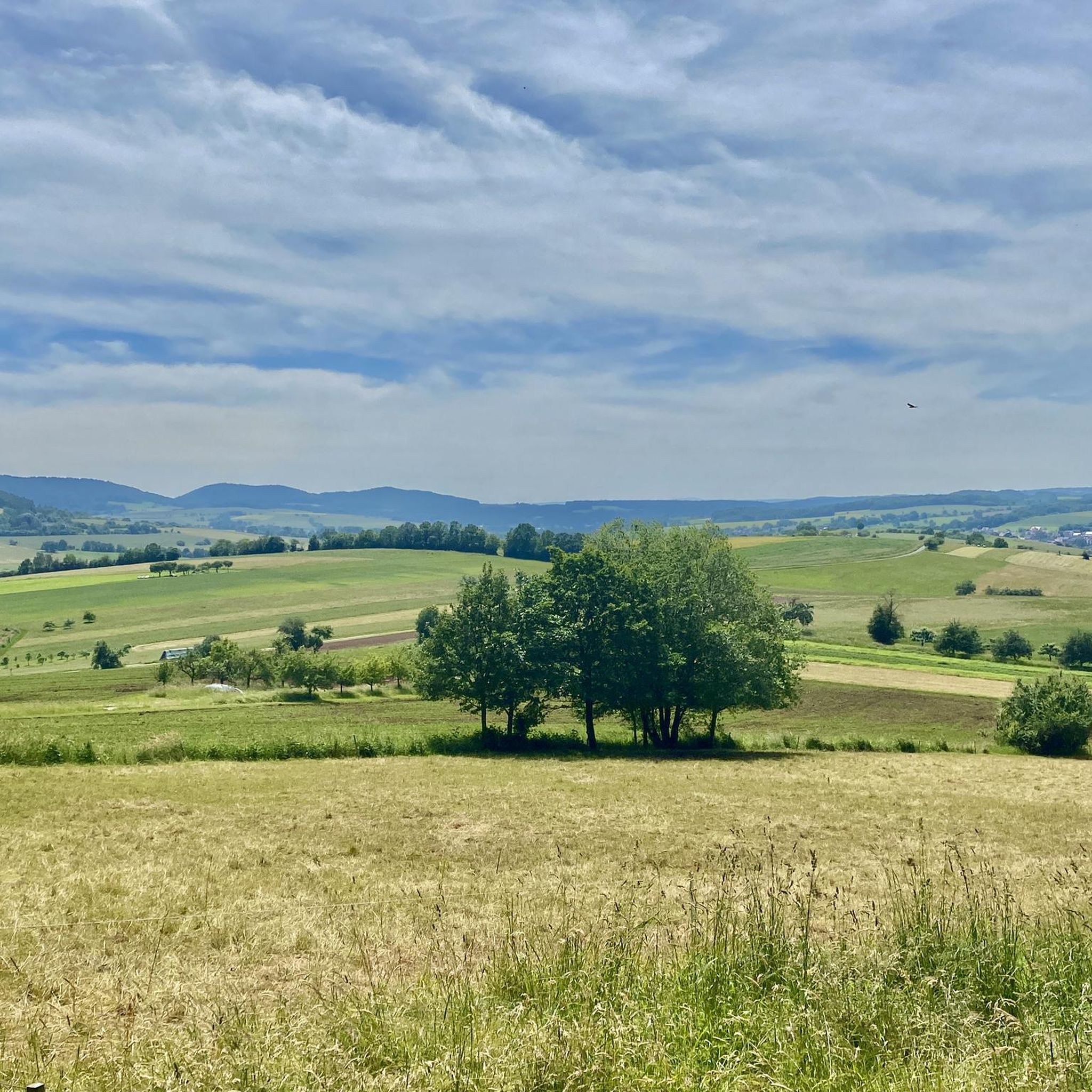
Kinzig Floodplains
Highlight • River
Translated by Google •
Tip by

Sign up now to discover places like this
Get recommendations on the best single tracks, peaks, & plenty of other exciting outdoor places.
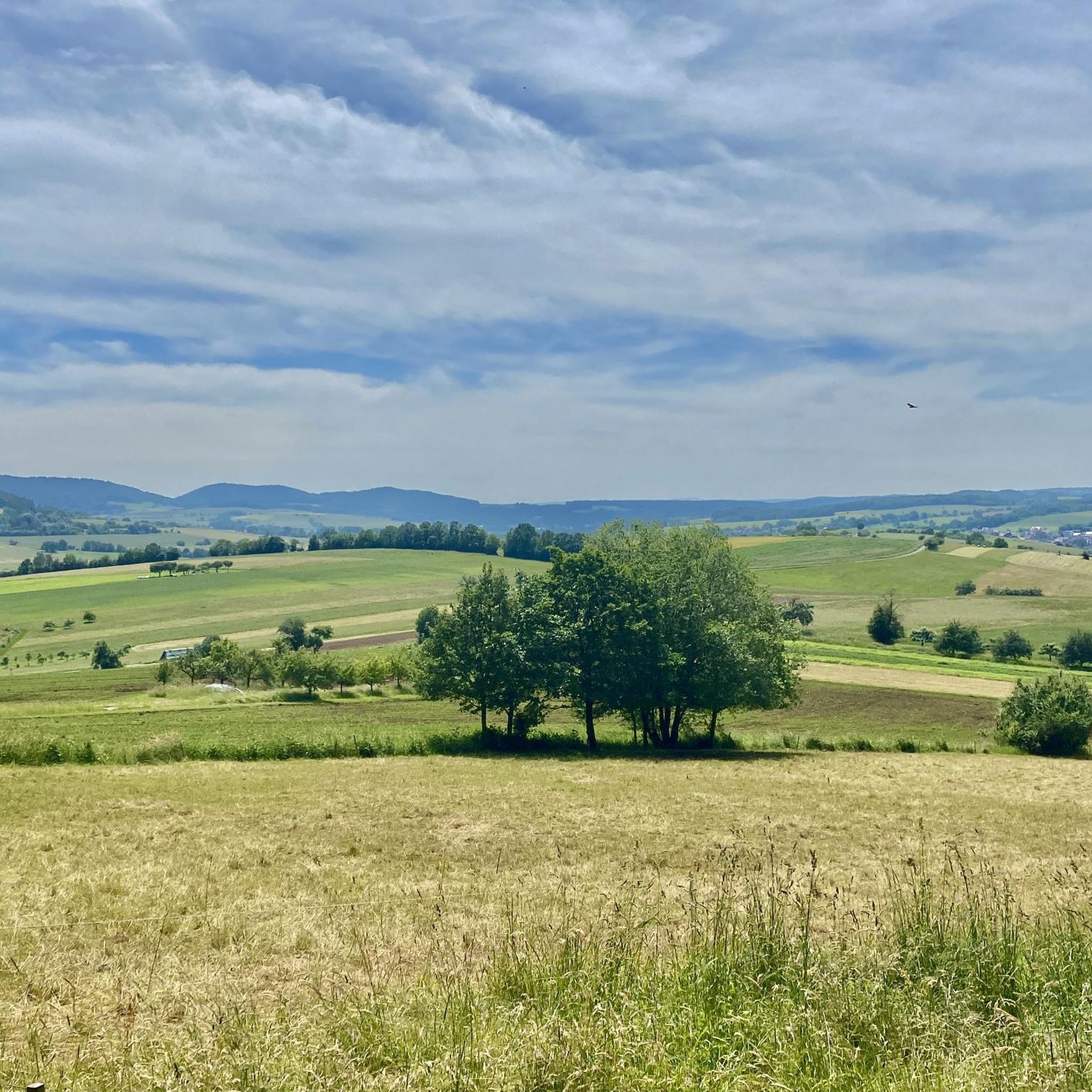
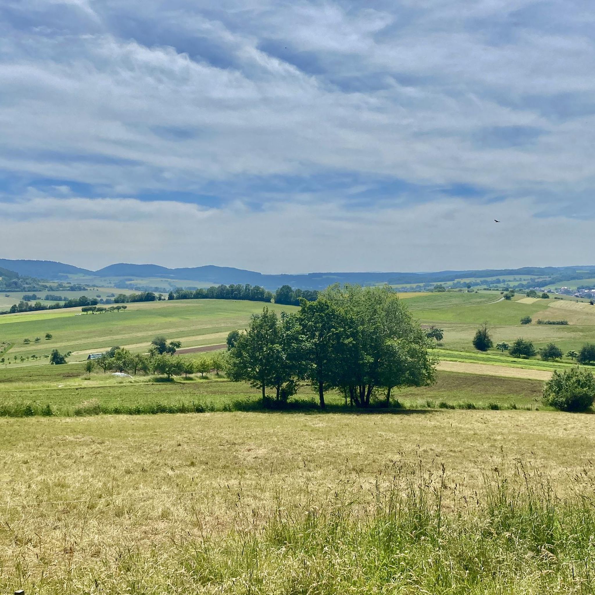
Kinzigtal Cycle Path
Highlight • Cycleway
Translated by Google •
Tip by

Rodfeldturm Observation Tower
Highlight • Viewpoint
Translated by Google •
Tip by

Eselsweg at Waldhaus Engländer
Highlight (Segment) • Trail
Translated by Google •
Tip by

Sign up for free to discover even more attractions around Huckelheimer Wald.
Already have an account?
Start today with a free account
Your next adventure awaits.
Tips from the Community

Simply beautiful, even in the rain
0
0

Even invites you to swim on hot days ;)
1
0

Storks can often be observed!
2
0

The Kinzig is a river approximately 86 kilometers long. It rises in Sterbfritz, flows southwest through the Main-Kinzig district of Hesse, and flows into the Main from the right in Hanau. The Kinzig is a second-order river in low mountain ranges. It overcomes an elevation of 301 meters and has a bed gradient of 3.5 per thousand. The Kinzig's catchment area covers 1,058 square kilometers, and the calculated mean discharge (MQ) at the mouth of the Kinzig is 10.97 cubic meters per second. The Kinzig was first documented in 796 as "iuxta fluvium Kincihen." In 815, the name was written as "Chinzicha," around 900 as "Kincicha"/"Kinzicham," in 1364 as "Kinzige," in 1584 as "Kintzig," in 1607 as "Bintz," in 1681 as "Kintz," in 1716 as "Kins," in 1769 as "Kinzing," and in 1802 as "Kinzig." In the river's headwaters, there was the now-defunct village of Kinzig, mentioned in 815 as "Chirizichheimero." The village and river were often confused by monastery scribes at that time with "Chizzicha" (now Bad Kissingen), both of which were described as being located in the Saalegau. The name presumably derives from the ancient Celtic *ku̯anti̯o- meaning "flat hill, valley." The name was therefore derived from the mountainous region from which the Kinzig flows. Source: Wikipedia
2
0
The Kinzig is a river approximately 86 kilometers long. It rises in Sterbfritz, flows southwest through the Main-Kinzig district of Hesse, and flows into the Main from the right in Hanau. The Kinzig is a second-order river in low mountain ranges. It overcomes an elevation of 301 meters and has a bed gradient of 3.5 per thousand. The Kinzig's catchment area covers 1,058 square kilometers, and the calculated mean discharge (MQ) at the mouth of the Kinzig is 10.97 cubic meters per second. The Kinzig was first documented in 796 as "iuxta fluvium Kincihen." In 815, the name was written as "Chinzicha," around 900 as "Kincicha"/"Kinzicham," in 1364 as "Kinzige," in 1584 as "Kintzig," in 1607 as "Bintz," in 1681 as "Kintz," in 1716 as "Kins," in 1769 as "Kinzing," and in 1802 as "Kinzig." In the river's headwaters, there was the now-defunct village of Kinzig, mentioned in 815 as "Chirizichheimero." The village and river were often confused by monastery scribes at that time with "Chizzicha" (now Bad Kissingen), both of which were described as being located in the Saalegau. The name presumably derives from the ancient Celtic *ku̯anti̯o- meaning "flat hill, valley." The name was therefore derived from the mountainous region from which the Kinzig flows. Source: Wikipedia
4
0

A very nice bike path
3
0

The R3 cycle path is a great cycle path in the Kinzig Valley. Most sections have a very good asphalt surface. The signage is also great.
5
1
It is a great place to cycle all year round.
3
0
Frequently Asked Questions
What natural features and geological formations can I explore in Huckelheimer Wald?
The Huckelheimer Wald area is rich in natural features. You can discover the impressive Beilstein Basalt Formation, a significant geological site with rare basalt prisms. The highest point in the area is the Hoher Querberg at 474 meters. Other notable peaks include Lindenberg, Menschenkopf, Habersberg, and Herzberg. Scenic natural spots like Herzbach, Herzbachmühlchen, and the Herzbach Miniaturwassermühle are also worth visiting. Additionally, the Kinzig Floodplains offer very flat terrain with a lot of nature.
Are there any historical sites or cultural points of interest in the Huckelheimer Wald area?
Yes, the region offers intriguing historical sites. The Wilhelmine Copper Mine provides a glimpse into historic mining methods and conditions, as it was one of Bavaria's rare copper deposits mined until 1923. You can also visit the Horbach Marian Grotto, a well-maintained religious site, and Bernhards Herrgott.
What cycling paths are available around Huckelheimer Wald?
The area features several well-regarded cycling paths. The Kahltal Cycle Path near Michelbach is nicely laid out with numerous places to stop and rest, located off the main road. Another option is the Kinzigtal Cycle Path, which is a well-developed route. For more cycling options, you can explore various Road Cycling Routes and Gravel Biking routes in the wider Huckelheimer Wald region.
Are there specific hiking trails recommended in Huckelheimer Wald?
Yes, hikers can enjoy several trails. The Eselsweg at Waldhaus Engländer is a popular trail suitable for both bikers and hikers, known for its flowing S1 sections and cool passages. The Beilstein Trail is another challenging route featuring unusual basalt rock formations with cool, partly very steep sections. You can find more options for outdoor activities, including MTB Trails, in the guides for the Huckelheimer Wald area.
Where can I find the best views or observation points in the region?
For extensive views, visit the Rodfeldturm Observation Tower. From here, you can see as far as the Taunus mountains and Ronneburg Castle, offering beautiful panoramas of Freigericht and the Wetterau.
Are there family-friendly activities or attractions suitable for children?
Many attractions in the Huckelheimer Wald area are suitable for families. The Kahltal Cycle Path near Michelbach and the Kinzigtal Cycle Path are both marked as family-friendly. The Kinzig Floodplains also offer flat terrain for easy exploration. The Wilhelmine Copper Mine could also be an educational and engaging visit for older children interested in history.
What do visitors enjoy most about the attractions around Huckelheimer Wald?
Visitors particularly appreciate the diverse natural landscapes and well-maintained trails. The Kahltal Cycle Path is loved for its pleasant layout and numerous resting spots. The Rodfeldturm Observation Tower is highly rated for its excellent, far-reaching views. Hikers and bikers enjoy the 'cool trails' and 'flowing S1 sections' of the Eselsweg at Waldhaus Engländer.
What are the highest points in the Huckelheimer Wald region?
The highest elevation within the Huckelheimer Wald area is the Hoher Querberg, standing at 474 meters above sea level. Other notable peaks include Lindenberg (465 m), Menschenkopf (465 m), Habersberg (428 m), and Herzberg (427 m).
Can I find sources of streams or rivers in the area?
Yes, the Arzborn is located on the southwestern slope of the Hoher Querberg and is the source of the Querbach stream. Additionally, the Herzbach and its associated features like Herzbachmühlchen are scenic natural spots.
Are there any mountain huts or unique points of interest like the Jägerhäuschen?
The Jägerhäuschen im Spessart is indeed a notable mountain hut in the area. However, it is reported to be open infrequently, sometimes only once a year. It's best to check local information for specific opening times if you plan to visit.
What kind of terrain can I expect on trails in Huckelheimer Wald?
The terrain varies, offering diverse experiences. Trails like the Beilstein Trail feature unusual basalt rock formations and can have cool, partly very steep sections. The Eselsweg at Waldhaus Engländer is known for its 'flowing S1 sections' and small passages, indicating a mix of smooth and slightly technical paths. The Kinzig Floodplains, in contrast, offer very flat terrain.
Most popular routes around Huckelheimer Wald
Most popular attractions around Huckelheimer Wald

Get inspired with the komoot mobile app


Explore more
Still not found the Highlight you’re looking for? See guides of the top attractions in other regions:
