The best gravel rides around Huckelheimer Wald
4.7
(57)
262
riders
72
rides
Gravel biking around Huckelheimer Wald offers routes through a heavily wooded landscape, characteristic of the northern Bavarian Spessart Mountains. The region features dense forests covering approximately 96% of its area, providing extensive shaded paths. Varied terrain includes elevations such as the Hoher Querberg, which stands at 474 meters above sea level, and natural water features like the Herzbach stream. This environment provides diverse conditions for gravel cycling.
Best gravel bike trails around Huckelheimer Wald
- The most popular gravel bike trail…
Last updated: October 19, 2026
4.7
(3)
26
riders
60.5km
03:12
490m
490m
Hard gravel ride. Very good fitness required. Mostly paved surfaces. Suitable for all skill levels.
4.0
(2)
8
riders
Hard gravel ride. Very good fitness required. Mostly paved surfaces. Suitable for all skill levels.

4.8
(5)
16
riders
49.0km
02:50
600m
600m
Hard gravel ride. Very good fitness required. Mostly paved surfaces. Suitable for all skill levels.
5.0
(1)
13
riders
25.2km
01:32
330m
330m
Moderate gravel ride. Good fitness required. Mostly paved surfaces. Suitable for all skill levels.
9
riders
28.1km
01:44
320m
320m
Hard gravel ride. Good fitness required. You may need to push your bike for some segments of this route.
Get access to more routes and recommendations from other explorers.
Already have an account?
Our route recommendations are based on thousands of hikes, rides, and runs completed by other people on komoot.
Start today with a free account
Your next adventure awaits.
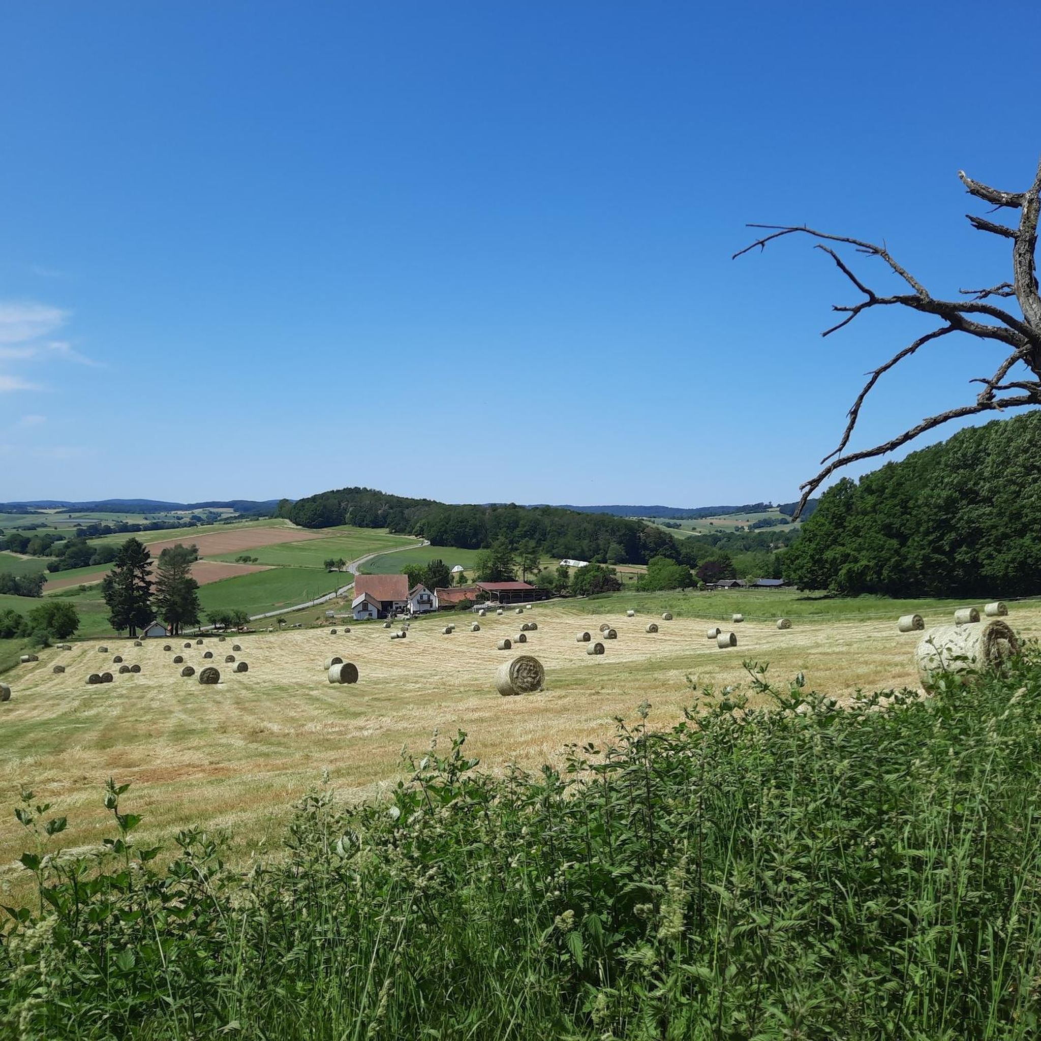
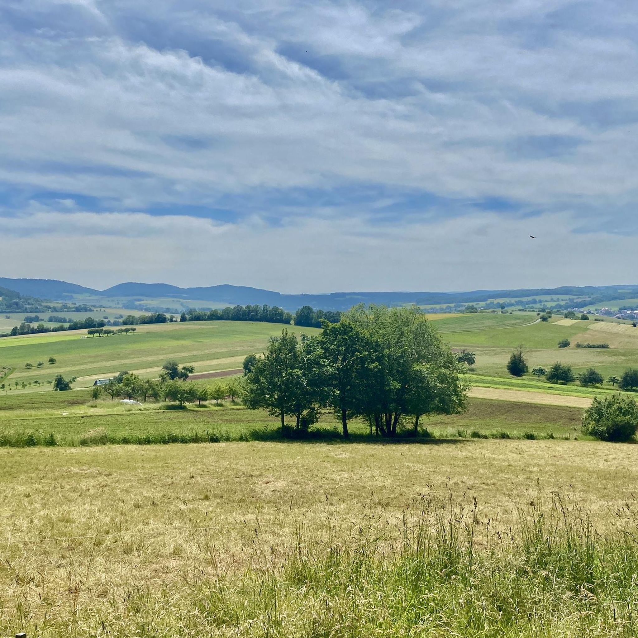
Tips from the Community

There is the Fernblick restaurant.
0
0

Simply beautiful, even in the rain
0
0

Geiselbach is basically located in a basin. This allows you to "look down" on the town from different sides/places.
2
0
From the cycle path along the road between Albstadt and Neuses, you have a beautiful view towards the „Rodfeld“.
3
0
You can eat good fish here.
3
0
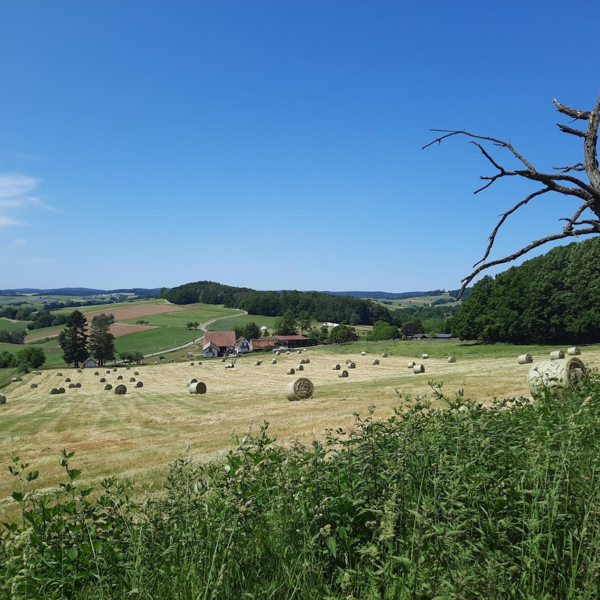
From the bike path, you can enjoy the view of the beautiful landscape.
3
0
It is a pleasure to be out and about here.
1
0
This is a nice place to take a break.
1
0
Frequently Asked Questions
How many gravel bike trails are available in Huckelheimer Wald?
Huckelheimer Wald offers over 100 gravel bike trails, catering to various skill levels. You'll find options ranging from easy to difficult, with 4 easy, 41 moderate, and 72 difficult routes.
What kind of terrain can I expect on gravel bike routes in Huckelheimer Wald?
The terrain in Huckelheimer Wald is predominantly forested, with about 96% of the area covered by dense woods. You can expect varied conditions, including shaded paths, elevation changes from hills like the Hoher Querberg (474m), and natural features such as the Herzbach stream. The region is part of the Spessart Mountains, known for its diverse landscapes.
Are there any circular gravel bike routes in Huckelheimer Wald?
Yes, many gravel bike routes in Huckelheimer Wald are designed as loops. For example, the View of Gelnhausen – Kinzigtal Cycle Path loop from Eidengesäß is a popular moderate option, and the more challenging Forest Inn "Zum Engländer" – View of Feldkahl loop from Hofstädten also forms a loop.
What do other gravel bikers say about the trails in Huckelheimer Wald?
The gravel biking routes in Huckelheimer Wald are highly rated by the komoot community, with an average score of 4.5 stars from over 70 reviews. Many riders praise the varied terrain and the extensive network of paths through the dense forests.
Are there any easy gravel bike trails suitable for beginners or families?
While many routes are moderate to difficult, there are a few easier options. For a moderate experience, consider the Gondel Pond, Horbach – View of Geiselbach loop from Geiselbach, which covers about 25 km. There are 4 routes specifically rated as easy, providing good starting points for less experienced riders or families.
What are some scenic viewpoints or natural attractions along the gravel routes?
The region offers several natural highlights. You might encounter the Herzbach stream and the Herzbachmühlchen (a small mill). The wider area features significant natural rock formations like the Beilstein Basalt Formation. For specific points of interest, consider exploring highlights such as Hirschbachweiher or the Aubachtal Valley.
Are there any longer, more challenging gravel bike routes for advanced riders?
Absolutely. For advanced riders seeking a challenge, the Kinzig Reservoir – Kinzig Spring loop from Geiselbach is a difficult 126.6 km trail that typically takes over 8 hours to complete. Another difficult option is the Teufelsmühle (Spessart) – View from Ziegelberg loop from Geiselbach, spanning 28.4 km with significant elevation changes.
Where can I find parking for gravel biking in Huckelheimer Wald?
While specific parking areas aren't detailed for every route, many trails start from villages or accessible points within the region. It's advisable to check the starting point of your chosen route on komoot for information on nearby parking facilities.
Are there any bike parks or dedicated trails near Huckelheimer Wald?
Yes, there are several bike-related highlights in the vicinity. You can find trails like the Engländer Trail and the Trails to Eidengesäß in Naturpark Hessischer Spessart. For dedicated MTB parks, consider the Domina Trail (Red), Kammtrails, Naturpark Spessart.
What is the best season for gravel biking in Huckelheimer Wald?
Given the heavily wooded landscape, Huckelheimer Wald offers extensive shaded paths, making it enjoyable during warmer months. The dense forests also provide a serene environment, which can be particularly beautiful in spring with new growth or in autumn with changing foliage. Always check local weather conditions before heading out.
Are there any historical sites or cultural attractions to see while gravel biking?
Beyond natural beauty, the wider area has a rich history, including past mining activities. While not directly on every gravel route, sites like the Wilhelmine Copper Mine offer insights into historical practices. You might also encounter religious buildings such as the Marian Grotto in Birklergrund.
Most popular routes around Huckelheimer Wald
Most popular attractions around Huckelheimer Wald

Get inspired with the komoot mobile app


Explore more
Browse the best Gravel rides in other regions.
