The best running trails around Monkhopton
4.4
(14)
690
runners
50
runs
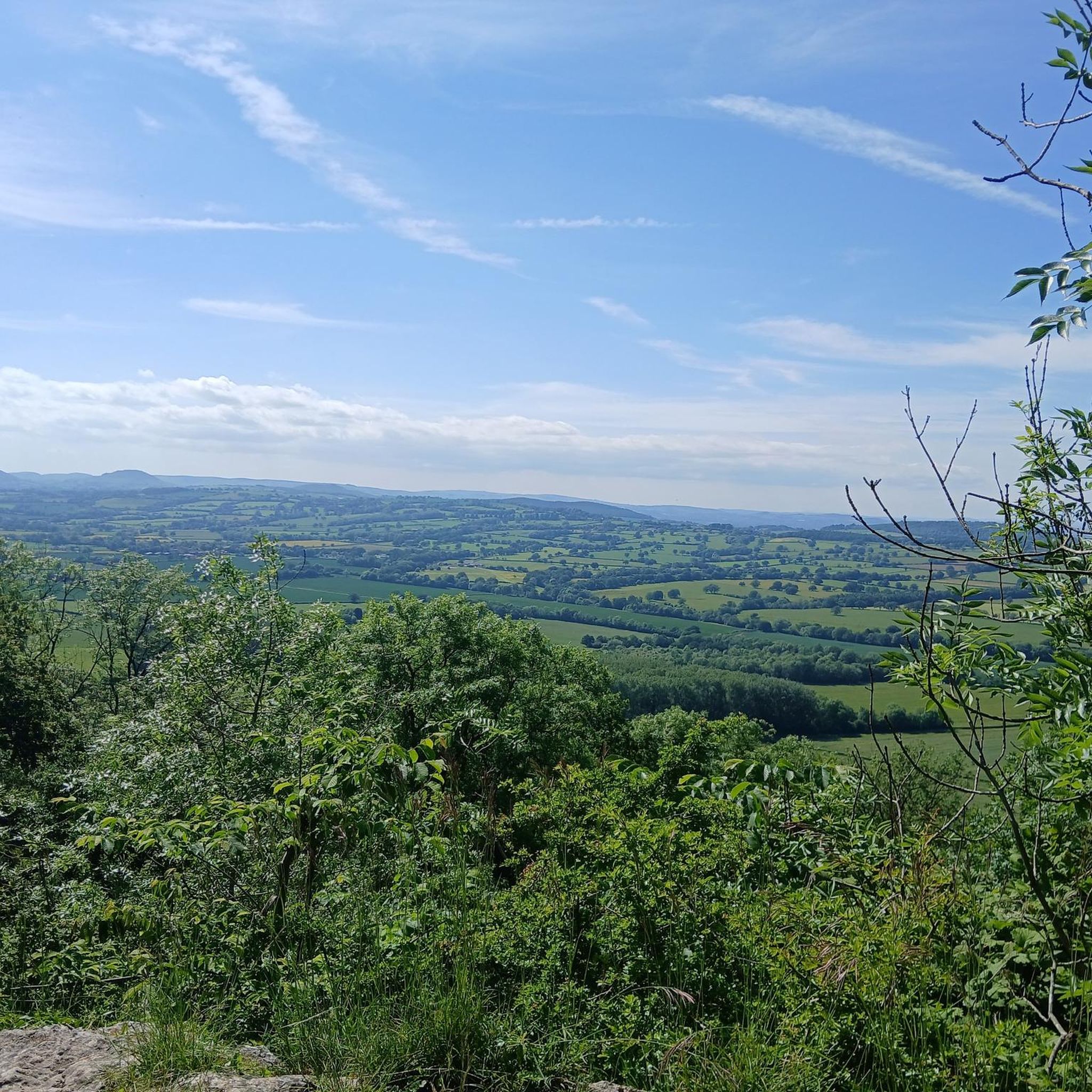
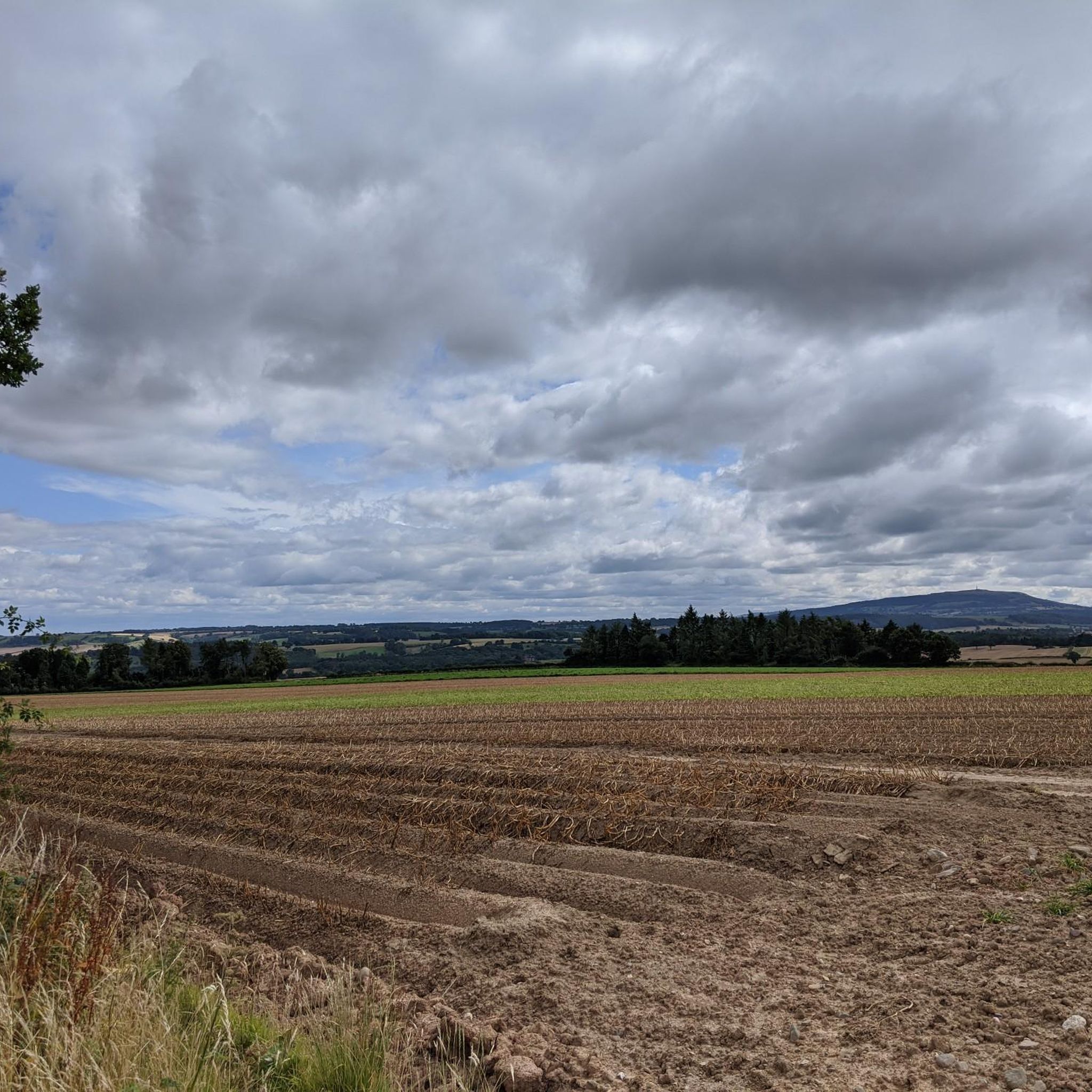
Jogging routes around Monkhopton offer diverse terrain within the Shropshire Hills National Landscape, characterized by rolling hills, ancient woodlands, and expansive open heathland. The area provides a mix of easily accessible paths, some paved surfaces, and more rugged routes with elevation changes, catering to various fitness levels. Its proximity to Brown Clee Hill, the highest point in Shropshire, provides opportunities for invigorating climbs and panoramic views.
Best jogging routes around Monkhopton
- The most popular jogging route is Dhustone Quarry Ruins…
Last updated: July 3, 2026
5.0
(1)
12
runners
Moderate run. Good fitness required. Mostly paved surfaces. Suitable for all skill levels.
9
runners
10.5km
01:07
120m
120m
Moderate run. Good fitness required. Mostly paved surfaces. Suitable for all skill levels.

Sign up for free
5.0
(1)
7
runners
11.9km
01:25
270m
280m
Moderate run. Good fitness required. Mostly paved surfaces. Suitable for all skill levels.
5.0
(1)
6
runners
8.60km
01:01
210m
210m
Moderate run. Good fitness required. Mostly paved surfaces. Suitable for all skill levels.
5
runners
9.22km
00:57
60m
60m
Moderate run. Good fitness required. Mostly paved surfaces. Suitable for all skill levels.
Get access to more routes and recommendations from other explorers.
Sign up for free
Already have an account?
Our route recommendations are based on thousands of hikes, rides, and runs completed by other people on komoot.
Start today with a free account
Your next adventure awaits.
Login or Signup

Tips from the Community

Apparently, the site of the highest coalfield in England too. Isn't Wikipedia wonderful.
0
0
There is the bracket of the original Trig Point cemented into the path that leads to the Toposcope.
0
0


The ruined buildings are not actually castle ruins but old quarry buildings built around 1907. The hill was quarried from 1908 to 1937, largely for Dhustone. This hard, durable, almost black stone was used in building and for making tram line setts.
0
0

Grassy run down. Not very technical, just a little muddy nearer the top
0
0
Incredible 360 views all around. A great muddy descent from the top.
0
0

Much Wenlock is a stunningly beautiful medieval town. Walking about town is like going back in time with its great selection of traditional shops and all offering good old-fashioned one to one service. It is a quintessentially English town, a bit off the beaten track but well worth the visit.
0
0

The Holy Trinity Church in Much Wenlock is a beautiful 12th century building situated in the heart of the town. The church features a number of striking features, such as its Norman tower and stunning stained-glass windows.
1
0
Frequently Asked Questions
How many running routes are available around Monkhopton?
There are over 50 dedicated running routes around Monkhopton, catering to various fitness levels. This includes 4 easy routes, 39 moderate routes, and 11 more challenging options.
What kind of terrain can I expect on jogging trails around Monkhopton?
The terrain around Monkhopton is quite diverse, ranging from easily accessible paths and some paved surfaces to more rugged routes with significant elevation changes. You'll encounter rolling hills, ancient woodlands, and expansive open heathland, particularly within the Shropshire Hills National Landscape.
Are there running routes suitable for beginners in Monkhopton?
Yes, Monkhopton offers several routes perfect for beginners or those looking for a gentler run. Options like the 2.4-mile (3.83 km) Wenlock Edge Jenny Wind Walk provide a scenic and relatively flat experience through ancient woodlands and meadows. There are 4 easy routes available in total.
What do other runners enjoy most about the trails in Monkhopton?
The running trails in Monkhopton are highly rated by the komoot community, with an average score of 4.4 stars from over 10 reviews. Runners often praise the diverse terrain, the stunning panoramic views from places like Brown Clee Hill, and the opportunity to immerse themselves in the natural beauty of the Shropshire Hills.
Are there any circular running routes in Monkhopton?
Many of the running routes around Monkhopton are circular, offering convenient starting and ending points. For example, the Dhustone Quarry Ruins – View Downhill from Brown Clee loop from Cleobury North is a popular moderate 5.2-mile (8.5 km) loop with great views. Another option is the Much Wenlock Town Centre – Much Wenlock Guildhall loop from Much Wenlock, a moderate 6.5-mile (10.5 km) path.
Can I find family-friendly jogging routes in Monkhopton?
For families, routes with less elevation and well-maintained paths are ideal. The Wenlock Edge Jenny Wind Walk is a great choice, offering a tranquil and scenic experience through woodlands and meadows, and it's relatively flat. Look for routes described as 'easy' for the most family-friendly options.
Are the jogging trails in Monkhopton dog-friendly?
Most outdoor trails in the Monkhopton area are dog-friendly, but it's always recommended to keep dogs on a lead, especially when passing through livestock fields or nature reserves. The varied terrain, from open heathland to woodlands, offers plenty of sensory experiences for your canine companion.
What are some scenic running routes with good viewpoints in Monkhopton?
For breathtaking views, consider routes that ascend Brown Clee Hill, Shropshire's highest point. The Dhustone Quarry Ruins – View Downhill from Brown Clee loop from Cleobury North offers panoramic vistas. Another excellent option is the Abdon Burf Loop, which takes you to the Abdon Burf summit for expansive views of the Shropshire Hills.
Are there any historical or natural landmarks along the running routes?
Yes, several routes incorporate interesting landmarks. You can explore the Clee Burf and the Abdon Burf Summit, both part of Brown Clee Hill. The Wenlock Edge Jenny Wind Walk passes historical lime kilns, and routes like the Boyne Water Lake – Dhustone Quarry Ruins loop from Cleobury North will take you past the Dhustone Quarry Ruins.
Are there any running routes that pass by water features?
While Monkhopton is known more for its hills and woodlands, some routes do incorporate water features. The Boyne Water Lake – Dhustone Quarry Ruins loop from Cleobury North is one such route that includes Boyne Water Lake, offering a pleasant change of scenery during your run.
What is a good moderate running route to try in Monkhopton?
A great moderate option is the Boyne Water Lake – Dhustone Quarry Ruins loop from Brown Clee Hill. This 8.6 km (5.3 miles) route offers varied terrain and takes approximately 1 hour to complete, providing a rewarding experience without being overly strenuous.
Are there any running routes near historical sites or castles?
Yes, you can combine your run with a touch of history. The Holdgate Castle loop from Stanton Long is a moderate 9.2 km (5.7 miles) route that takes you past the historic Holdgate Castle, offering both exercise and a glimpse into the past.
Most popular attractions around Monkhopton

Get inspired with the komoot mobile app


Explore more
Browse the best Running Trails & Routes in other regions.
