The 8 Most Amazing Peaks around East Rounton
Best mountain peaks around East Rounton are found within the broader North Yorkshire region, as the village itself is characterized by a rural landscape along the River Wiske. The East Rounton geographical context places it near the Hambleton district, which features several notable elevated natural features. These areas offer diverse terrain for hiking and exploration, providing expansive views across the North York Moors and beyond. Visitors can discover various summits and viewpoints within a reasonable distance.
Best mountain peaks around…
Last updated: August 27, 2026
Carlton Bank Summit Trig Point
Highlight • Natural Monument
To the northeast, you can see the distinctively shaped Roseberry Topping. To the east and south, the stunning undulations …
Tip by

Cringle End Summit
Highlight (Segment) • Climb
Tip by

Sign up now to discover places like this
Get recommendations on the best single tracks, peaks, & plenty of other exciting outdoor places.
Sign up for free
Black Hambleton Summit Trig Point
Highlight • Summit
Tip by

View from Beacon Hill Summit
Highlight • Viewpoint
Tip by
Alec Falconer Memorial and View of the Cleveland Plain
Highlight • Natural Monument
Tip by
Sign up for free to discover even more peaks around East Rounton.
Sign up for free
Already have an account?
Start today with a free account
Your next adventure awaits.
Login or Signup
Tips from the Community

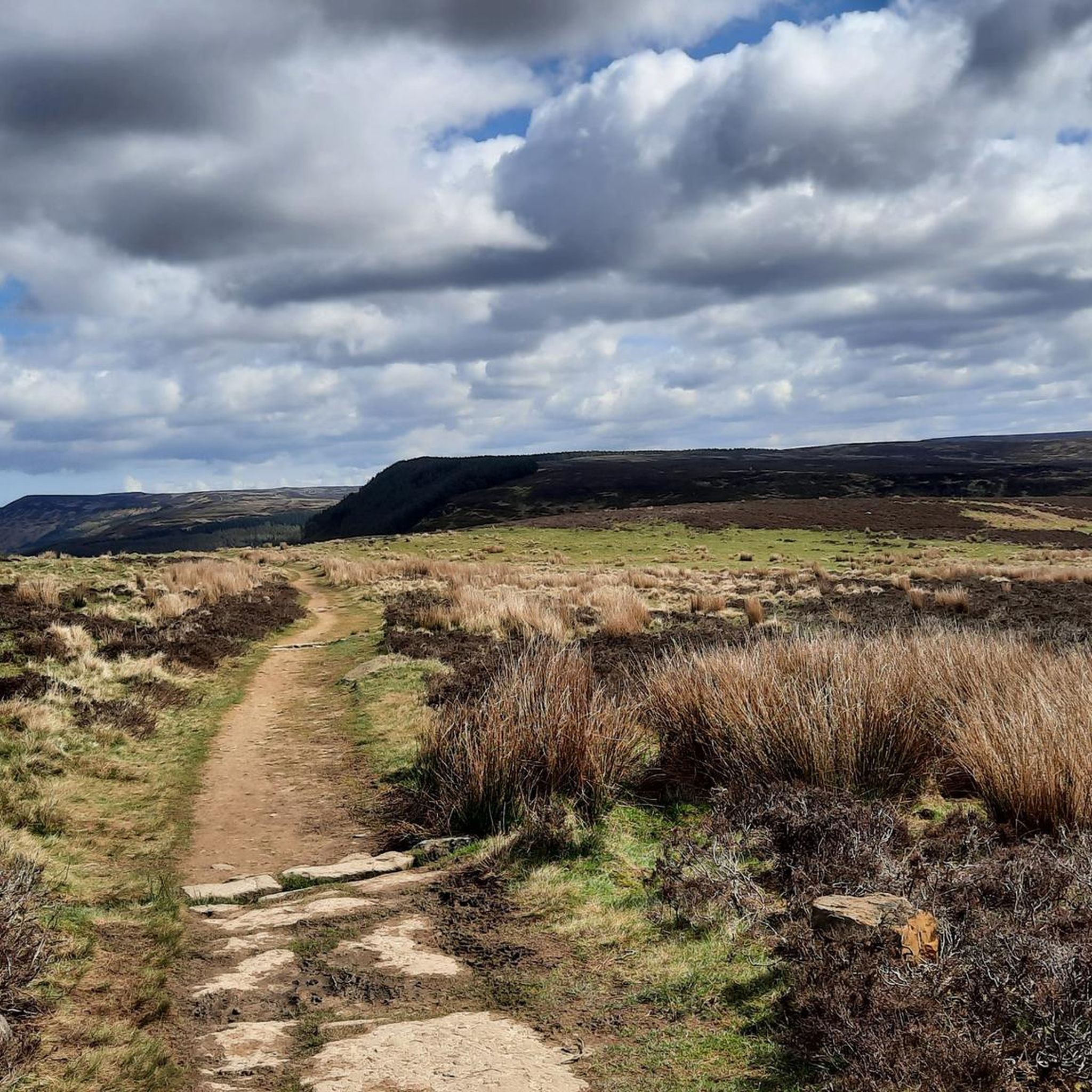
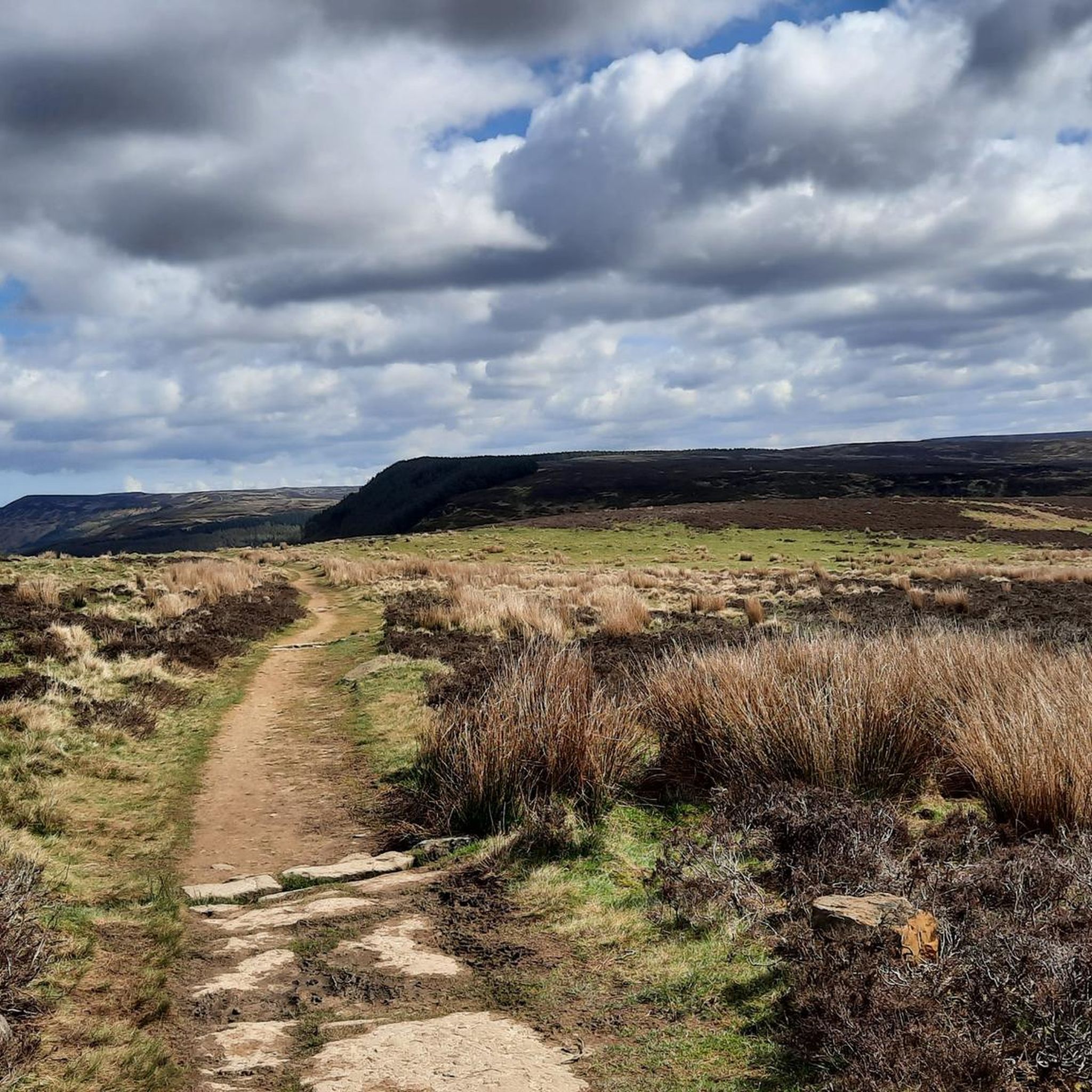
This is where I realised wearing new boots for a hike this long was a BAD idea!
0
0

You’ll have to jump over the wall and fence from the footpath to touch the trig pillar
0
0


Would of been some view but fog was in today
0
0

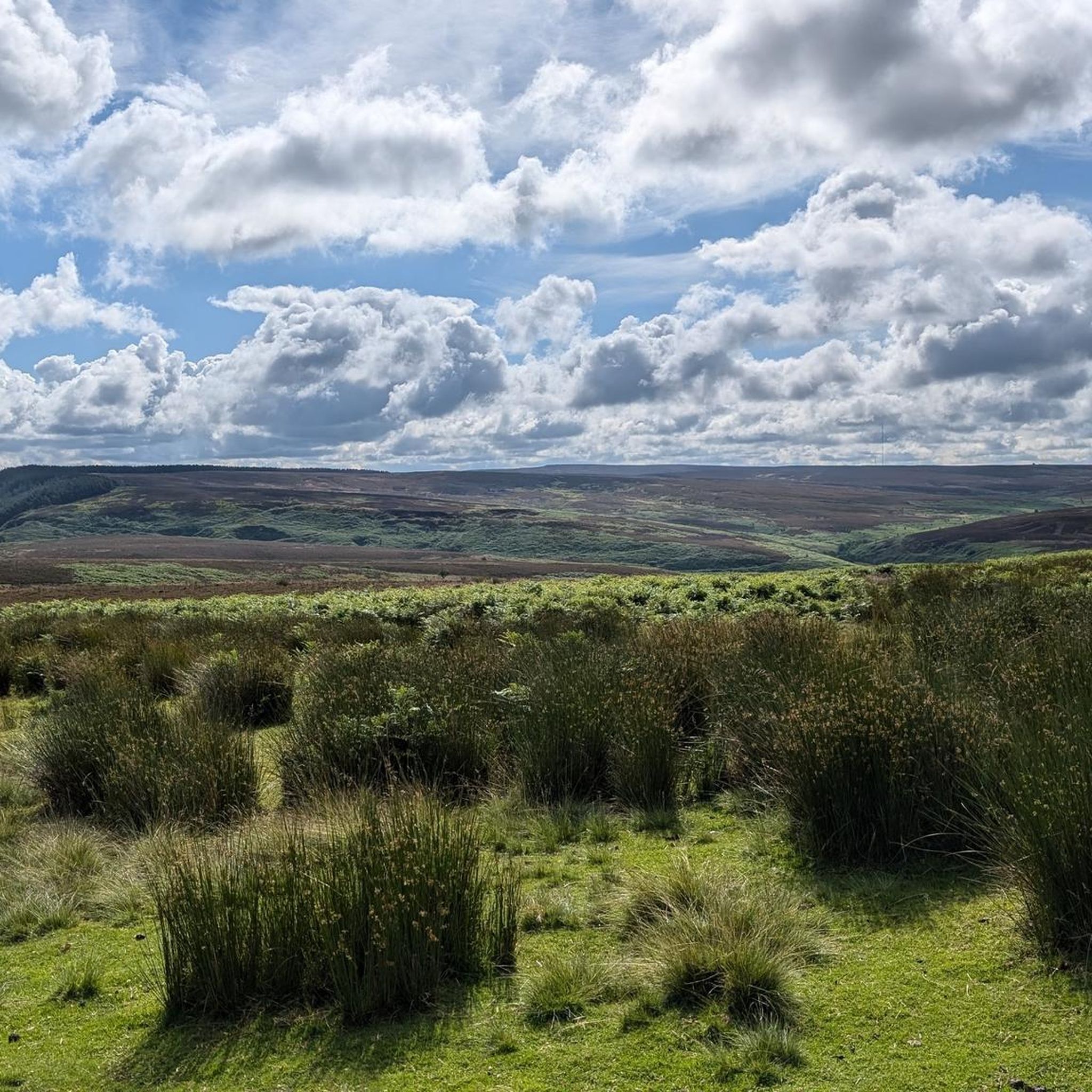
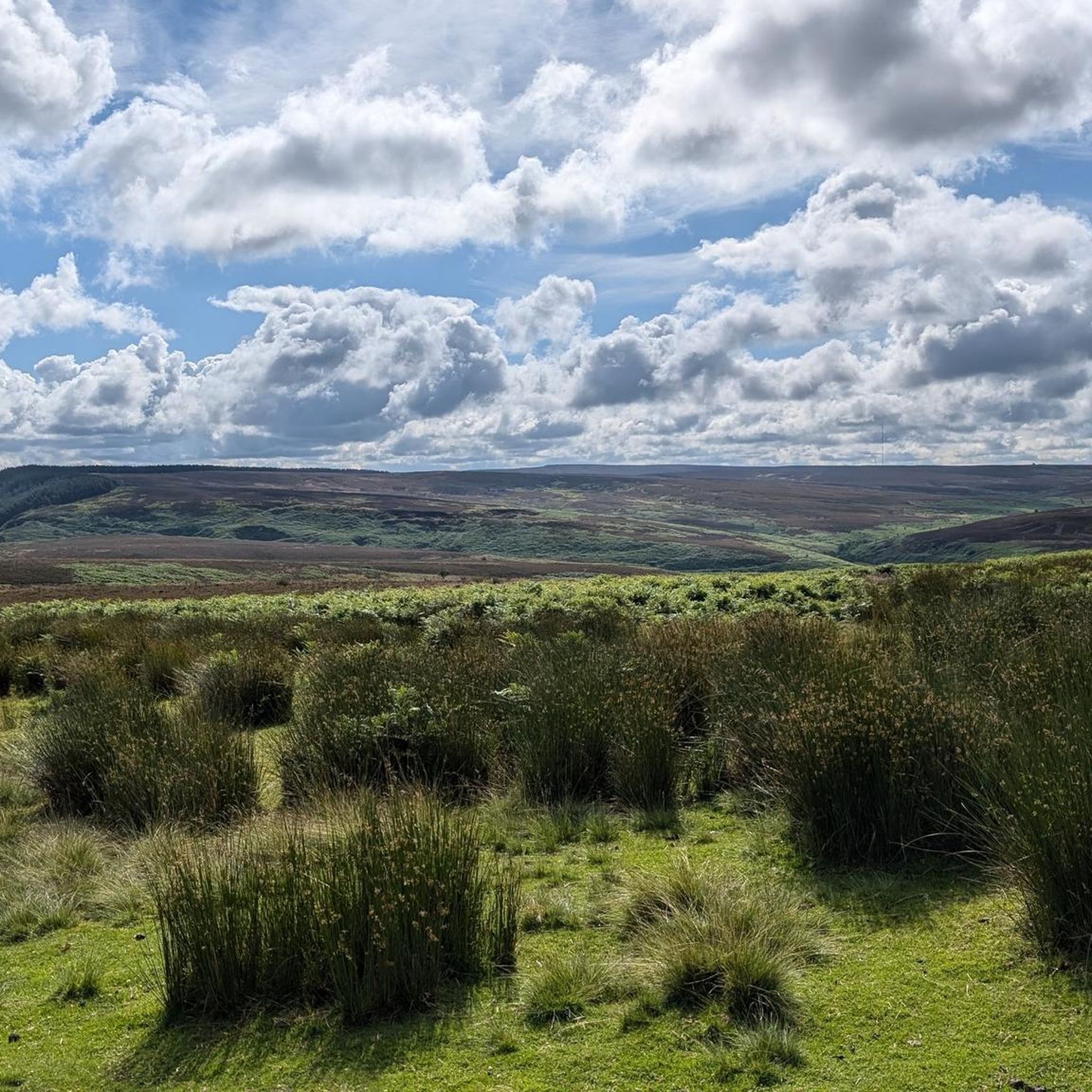
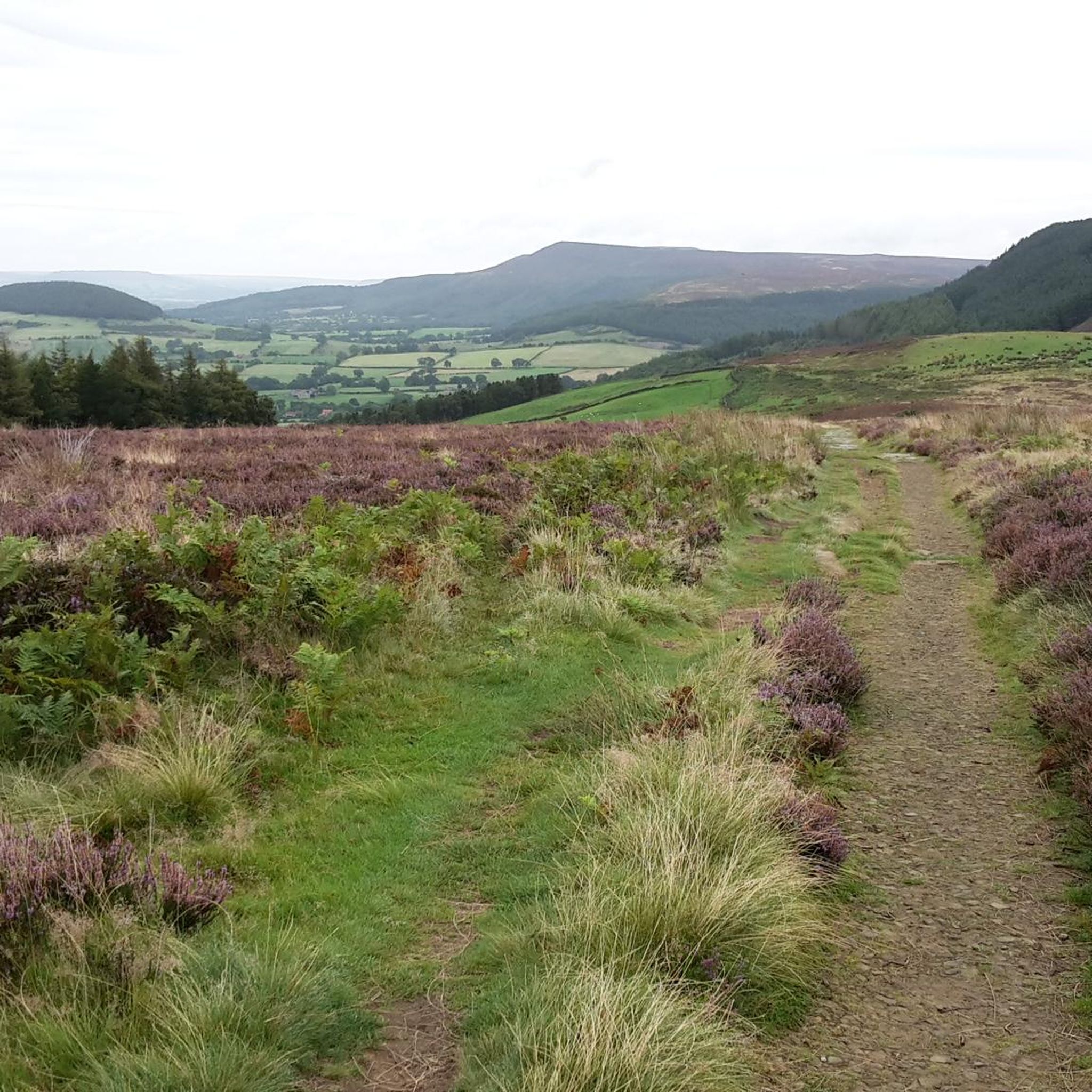
Great views east over Near Moor and Pamperdale Moor, all the way to Whorlton Moor on the horizon.
1
0
From the top of Beacon Hill you can see the dramatic northern escarpment of the moors, stretching away to Roseberry Topping. Fantastic views, and there is quite an easy track directly down Scarth Wood Moor to Sheep Wash car park.
1
0
If Cringle End is your destination, approach from Lordstones Country Park to the west, the gradient is more forgiving and the path is relatively straight. If you crest Cringle Moor from the east you will find the ascent comprises vicious sections of very twisty stone path with much steeper gradient, according to the elevation profile on Komoot, up to and over 33%. Quite punishing if you already have already covered a lot of miles and ascent.
2
0
Far-reaching views, especially spectacular just after an early morning spring sunrise. Great view along the ridgeline of Kirby Bank to the east. Easiest way to get to this is from Lord Stones country park to the west - there is a gradient but it is fairly even all the way up. Cresting Cringle Moor from the east, however, is much more arduous with twisty sections of steep stone path with a 33% gradient. I thought I was fit and fast - the gradient begged to differ!
1
0
Frequently Asked Questions
What are the most notable mountain peaks and viewpoints in the North Yorkshire region near East Rounton?
The broader North Yorkshire region, particularly the Hambleton district, offers several significant elevated features. These include Carlton Bank Summit Trig Point, known for expansive views of Teesside and the North York Moors, and Alec Falconer Memorial and View of the Cleveland Plain, which provides spectacular vistas towards the Cleveland plain, Cross Fell, and the Penshaw Monument. Another popular spot is View from Beacon Hill Summit, offering far-reaching views over Arncliffe Wood and Scarth Wood Moor.
Are there challenging climbs for experienced hikers near East Rounton?
Yes, for those seeking a challenge, Cringle End Summit offers a demanding climb. It features sections with gradients up to 29%, providing a rewarding experience and views from the top. The ascent from the east is particularly arduous with steep, twisty stone paths.
What kind of views can I expect from the mountain peaks in this area?
The peaks around East Rounton offer diverse and expansive views. From Carlton Bank Summit Trig Point, you can see Teesside, the undulating North York Moors, and even the Pennines on clear days. Black Hambleton Summit Trig Point provides great views across the Hambleton Hills and, on a clear day, as far as Great Whernside in the Yorkshire Dales. View from Beacon Hill Summit offers dramatic views of the northern escarpment of the moors, stretching towards Roseberry Topping.
Are there family-friendly walking routes near the mountain peaks?
While some climbs are challenging, the broader North York Moors area offers family-friendly options. For example, the area around Beacon Hill Summit has an easy track directly down Scarth Wood Moor to Sheep Wash car park. Additionally, the Easy hikes around East Rounton guide lists routes like the Mount Grace Priory and Lady Chapel loop, which are suitable for families.
What outdoor activities can I do near these mountain peaks besides hiking?
Beyond hiking, the region offers opportunities for gravel biking. The Gravel biking around East Rounton guide features routes such as the Osmotherley South End Climb loop and the Scarth Nick Climb loop, providing diverse terrain for cyclists.
What is the highest point in the North York Moors National Park?
The highest point in the North York Moors National Park is Round Hill (Urra Moor), standing at 1,490 feet (454m). While it lacks craggy rock faces, its summit offers spectacular views to the north and south and a profound sense of peace amidst the vast fells.
Are there any historical or archaeological sites on the peaks?
Yes, Round Hill (Urra Moor), the highest point in the North York Moors, is significant for its archaeological remains, including barrows and carved stones with cup and ring patterns. Additionally, Alec Falconer Memorial and View of the Cleveland Plain is a historical site dedicated to a founder member of the Middlesbrough Rambling Club.
What is 'Yorkshire's Matterhorn' and where can I find it?
Roseberry Topping is often referred to as 'Yorkshire's Matterhorn' due to its distinctive half-cone shape and jagged cliff. It provides spectacular views and a relatively challenging, yet manageable, hike to its summit. It is visible from Carlton Bank Summit Trig Point and View from Beacon Hill Summit.
What are The Wainstones?
The Wainstones are a unique rocky outcrop known for their distinctive appearance and prehistoric carvings. They offer views towards Middlesbrough and are a notable feature within the broader North Yorkshire region.
What is the best time to visit the North York Moors for hiking?
The North York Moors offer beautiful scenery year-round, but spring and autumn often provide the most pleasant hiking conditions with milder temperatures and vibrant landscapes. Summer can be popular but also warmer, while winter offers a stark, beautiful, and often quieter experience, though weather conditions can be more challenging.
Are there dog-friendly walks around the peaks near East Rounton?
Many trails in the North York Moors National Park are dog-friendly, but it's important to keep dogs under close control, especially around livestock and ground-nesting birds. Specific leash rules may apply in certain areas. Always check local signage. The Hiking around East Rounton guide includes various routes that can be enjoyed with dogs.
Where can I find information about parking for trailheads in the North York Moors near East Rounton?
Parking information for specific trailheads, such as those for Roseberry Topping, Captain Cook's Monument, or Scarth Wood Moor, is typically available through local National Park resources or detailed route descriptions. For example, the easiest way to access the Alec Falconer Memorial and View of the Cleveland Plain and Cringle End Summit is often from Lordstones Country Park to the west, which has parking facilities.
Most popular attractions around East Rounton

Get inspired with the komoot mobile app


Explore more
See even more amazing summits around East Rounton with these guides:
