The best walks and hikes around East Rounton
4.5
(803)
7,009
hikers
226
hikes
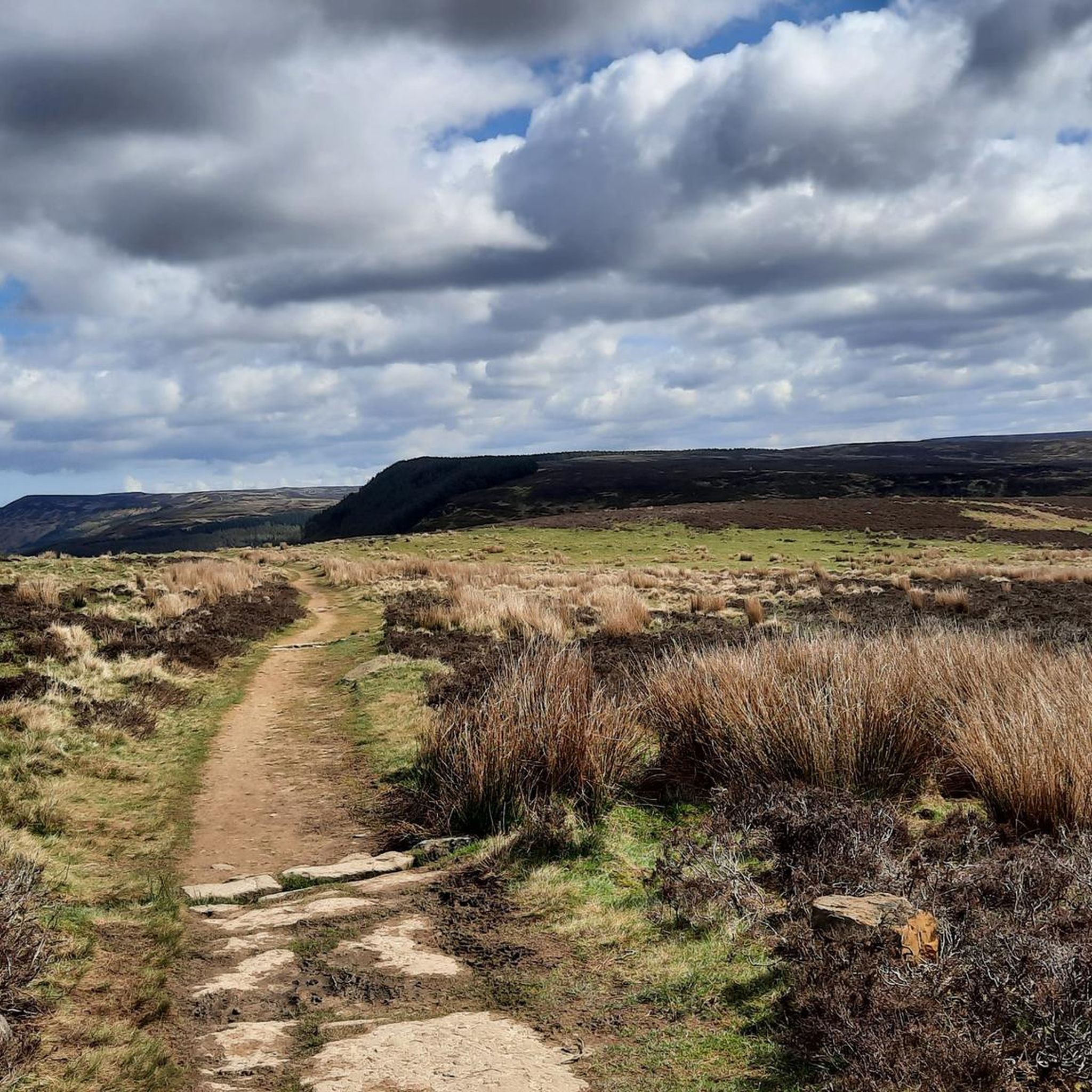
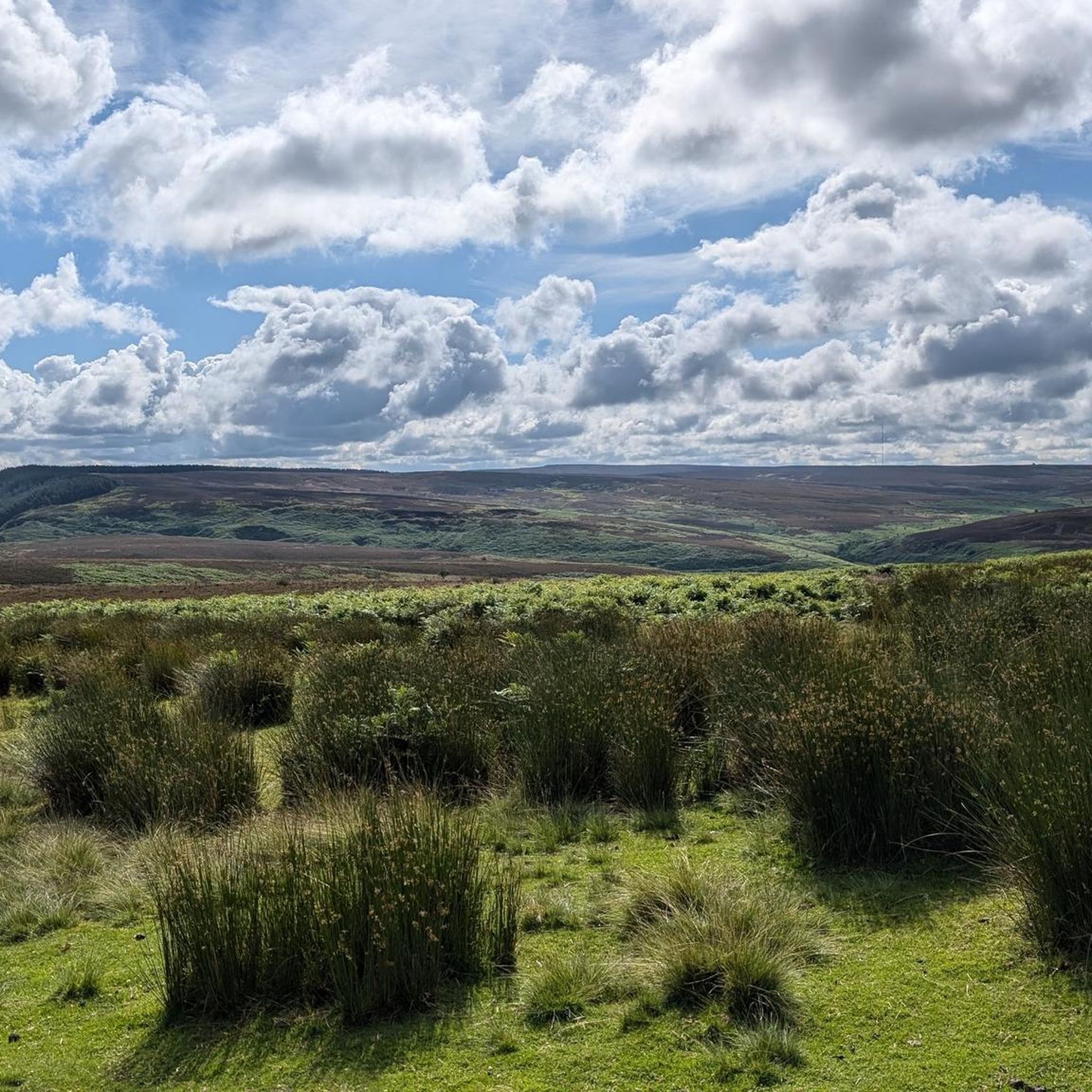
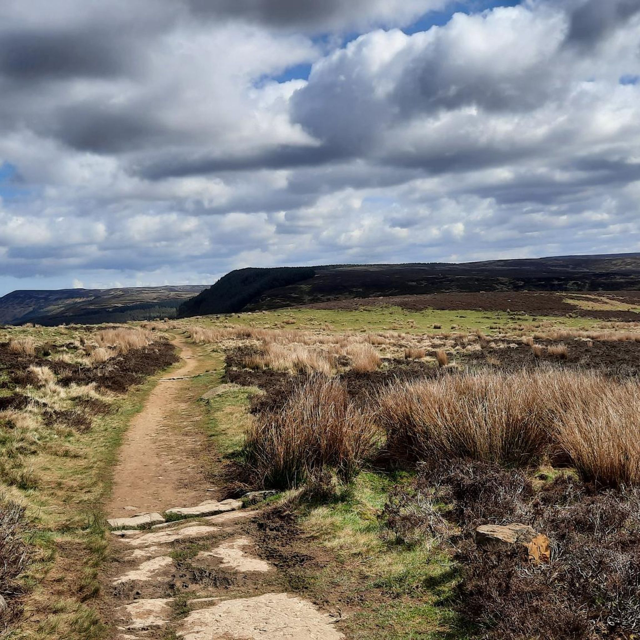
Hikes around East Rounton explore the landscape of North Yorkshire, situated near the North York Moors National Park. The area's terrain is defined by rolling hills, expansive moorland, and sections of the Cleveland Way National Trail. Routes often feature a mix of woodland paths, open fields, and gentle ascents to viewpoints.
Best hiking trails around East Rounton
- The most popular hiking route is Scarth Wood Moor – Osmotherley Village loop from Ingleby Cross, a 9.3 mile (15.0 km) trail that takes about 4 hours 20 minutes to complete. This route features varied terrain including moorland on Scarth Wood Moor.
- Another top favourite among local hiking enthusiasts is The White Swan, Danby Wiske – Pedestrian Railway Crossing loop from Welbury, a difficult 16.0 mile (25.7 km) path. This longer route crosses agricultural landscapes and follows public footpaths.
- Local hiking enthusiasts also love the Small Waterfall on the River – All Saints' Church, Crathorne loop from Crathorne, a 5.4 mile (8.7 km) trail leading through fields and along the river, often completed in about 2 hours 20 minutes.
- Hiking around East Rounton is defined by moorland plateaus, quiet riverbanks, and rolling farmland. The network of walking trails near East Rounton North Yorkshire offers options for different ability levels, from short loops to more demanding day hikes.
- The routes in East Rounton are highly rated by the komoot community with an average score of 4.5 stars from more than 680 reviews. More than 6,300 hikers have used komoot to explore East Rounton's varied terrain.
Last updated: October 12, 2026
4.4
(23)
293
hikers
Moderate hike. Good fitness required. Easily-accessible paths. Suitable for all skill levels.
4.2
(18)
154
hikers
25.7km
06:35
100m
100m
Hard hike. Very good fitness required. Easily-accessible paths. Suitable for all skill levels.

2.9
(12)
30
hikers
Moderate hike. Good fitness required. Easily-accessible paths. Suitable for all skill levels.
5.0
(4)
31
hikers
Moderate hike. Good fitness required. Easily-accessible paths. Suitable for all skill levels.
20
hikers
6.79km
01:48
60m
60m
Easy hike. Great for any fitness level. Easily-accessible paths. Suitable for all skill levels.
Get access to more routes and recommendations from other explorers.
Already have an account?
Our route recommendations are based on thousands of hikes, rides, and runs completed by other people on komoot.
Start today with a free account
Your next adventure awaits.
Tips from the Community

Stayed at one of the local pubs, was good but their internet connection was non-existent, had to pay for a 24hr hotspot with EE
0
0

You’ll have to jump over the wall and fence from the footpath to touch the trig pillar
0
0
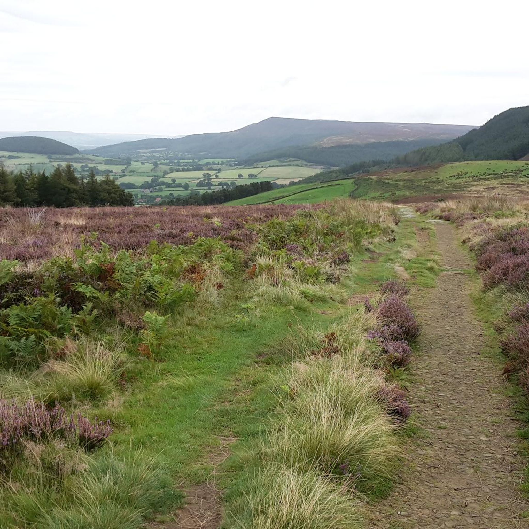
Expansive views full of heather with Roesberry Topping in the distance
1
0

Lovely spot for a break directly next to the footpath with a good view over the Vale of Mowbray. Beware sometimes there is cattle.
0
0


Serene spot with several benches where you can have a quick pit stop or picnic. Just north of the chapel, where you rejoin the public footpath, there are sweeping views of the countryside to the west.
1
0
Quintessential North Yorkshire village, very picturesque with good amenities and access points to the northwest of the NYM National Park. However, can be very congested with cars so parking is difficult. Drive north and park at Cod Beck Reservoir, then add Osmotherley to your hiking route. Lots of roads and public footpaths to choose from.
1
0
Frequently Asked Questions
How many hiking trails are there around East Rounton?
There are over 220 hiking routes to explore around East Rounton. The trails are well-distributed for all abilities, with a large number of easy and moderate options, plus over 20 challenging hikes for those seeking a tougher day out.
What is the typical terrain like on these hikes?
The terrain is varied, reflecting the area's position on the edge of the North York Moors National Park. You can expect a mix of public footpaths across rolling farmland, quiet woodland trails, and ascents onto expansive, and sometimes boggy, moorland with stunning views.
Are there any easy, family-friendly walks in the area?
Yes, there are many gentle options suitable for families. For a straightforward and pleasant walk, consider the All Saints' Church, Crathorne loop from Crathorne. It's a relatively flat 4.2-mile (6.8 km) route that follows paths through fields and is a great introduction to the local countryside.
Can I take my dog on the trails near East Rounton?
Most trails are dog-friendly, but it's important to be mindful of the landscape. When walking through farmland, especially during lambing season, dogs must be kept on a short lead. On the open moorlands, it's also best practice to keep them on a lead to protect ground-nesting birds and other wildlife.
What do other hikers enjoy about the trails around East Rounton?
The area is highly regarded by the komoot community, with over 6,300 visitors rating the routes with an average of 4.5 out of 5 stars. Hikers often praise the variety of scenery, from the tranquil riverbanks to the wide-open views from the moorland sections of the Cleveland Way.
Are there any walks with good views?
Definitely. For panoramic vistas, the View from Beacon Hill Summit – Scarth Wood Moor loop from Ingleby Arncliffe is an excellent choice. This moderate hike includes an ascent that rewards you with expansive views across the Tees Valley and towards landmarks like Roseberry Topping.
Where can I find a challenging hike?
For experienced hikers looking for a long day out, The White Swan, Danby Wiske – Pedestrian Railway Crossing loop from Welbury offers a significant challenge. This 16-mile (25.7 km) trek crosses a wide agricultural landscape and requires good navigation and endurance.
Are there any walks that include historical sites?
Yes, the region is rich in history. A popular option is to plan a walk around Mount Grace Priory, a well-preserved Carthusian monastery. You can also find routes that incorporate the ruins of Whorlton Castle or sections of historic railway lines, blending natural beauty with a glimpse into the past.
What are some popular places for hiking in the area?
Many hikes explore parts of the famous Cleveland Way, a National Trail known for its beautiful moorland and coastal scenery. The nearby Howardian Hills National Landscape is also a popular, heavily forested area with rolling hills and picturesque villages perfect for exploring on foot.
Can I get to the trailheads using public transport?
Accessing trailheads directly via public transport can be challenging in this rural area. Bus services connect some of the larger villages like Osmotherley and Great Ayton, but they may be infrequent. Most visitors find it more convenient to travel by car to reach specific starting points for hikes.
Is there parking available for the main hiking routes?
Parking is generally available but varies by location. Popular starting points like the Lord Stones Cafe car park near Carlton Bank or the village of Osmotherley have dedicated parking, though they can get busy. For other routes starting in smaller villages, you will often rely on on-street parking, so please park considerately.
Are there any walks that feature waterfalls or rivers?
While the area isn't known for large waterfalls, some routes follow scenic riverbanks. The Small Waterfall on the River – All Saints' Church, Crathorne loop from Crathorne is a lovely moderate walk that takes you along the River Leven and features a small, charming cascade.
Most popular attractions around East Rounton

Get inspired with the komoot mobile app


Explore more
Browse the best Hikes in other regions.
