The best running trails around Skirling
3.8
(9)
216
runners
25
runs
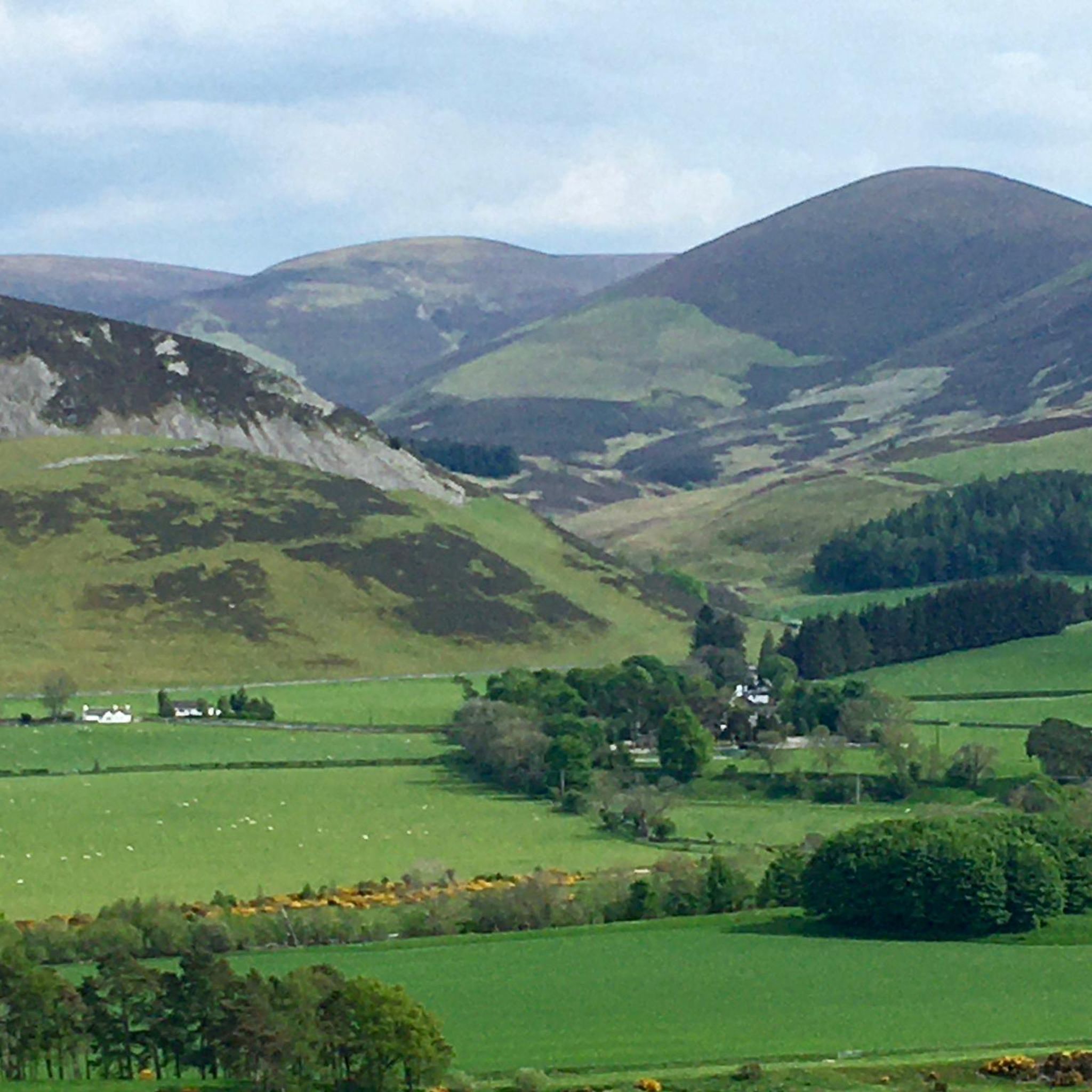
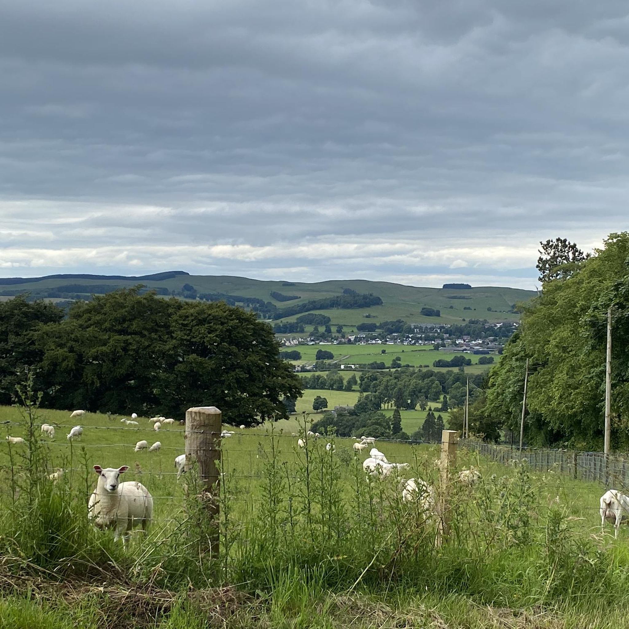
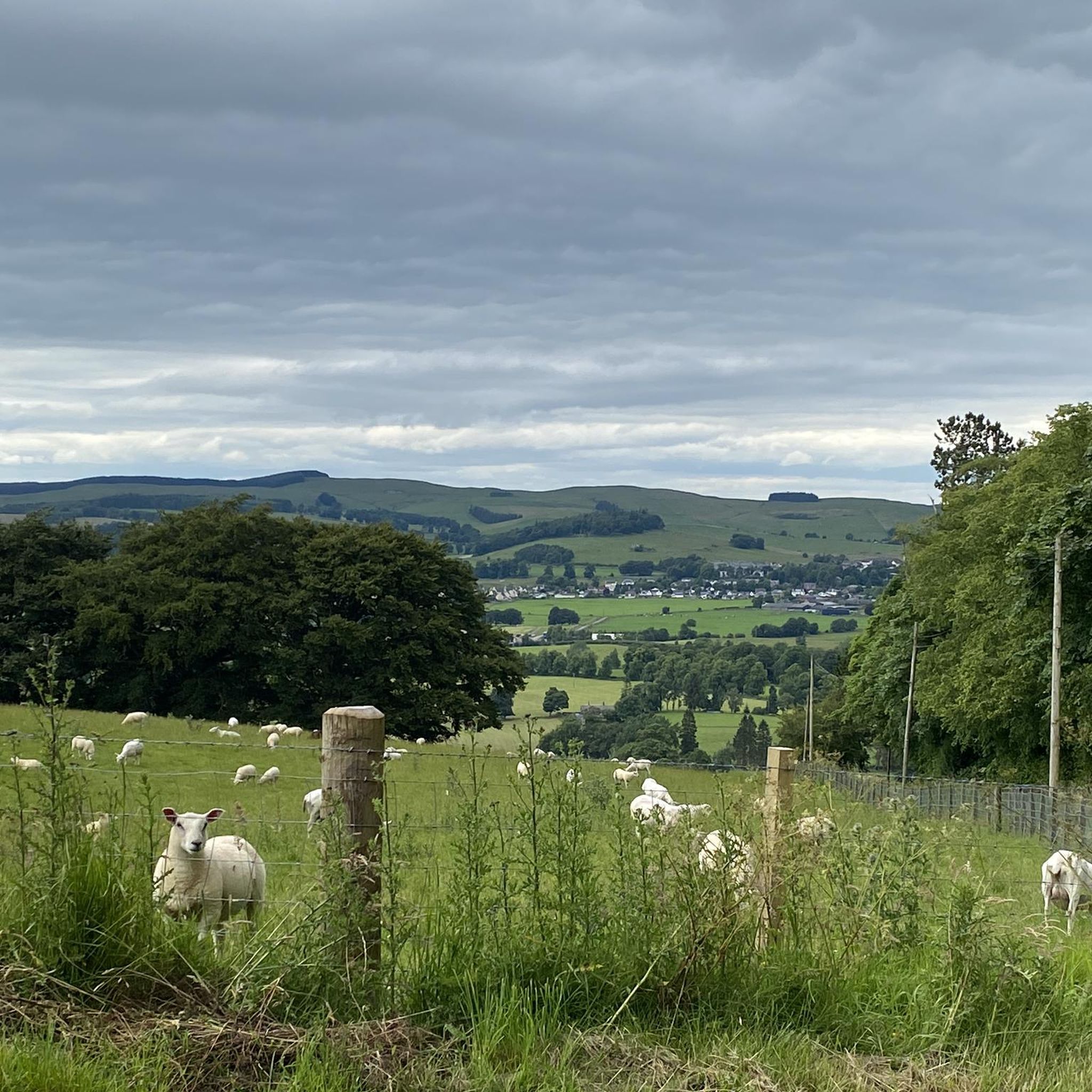
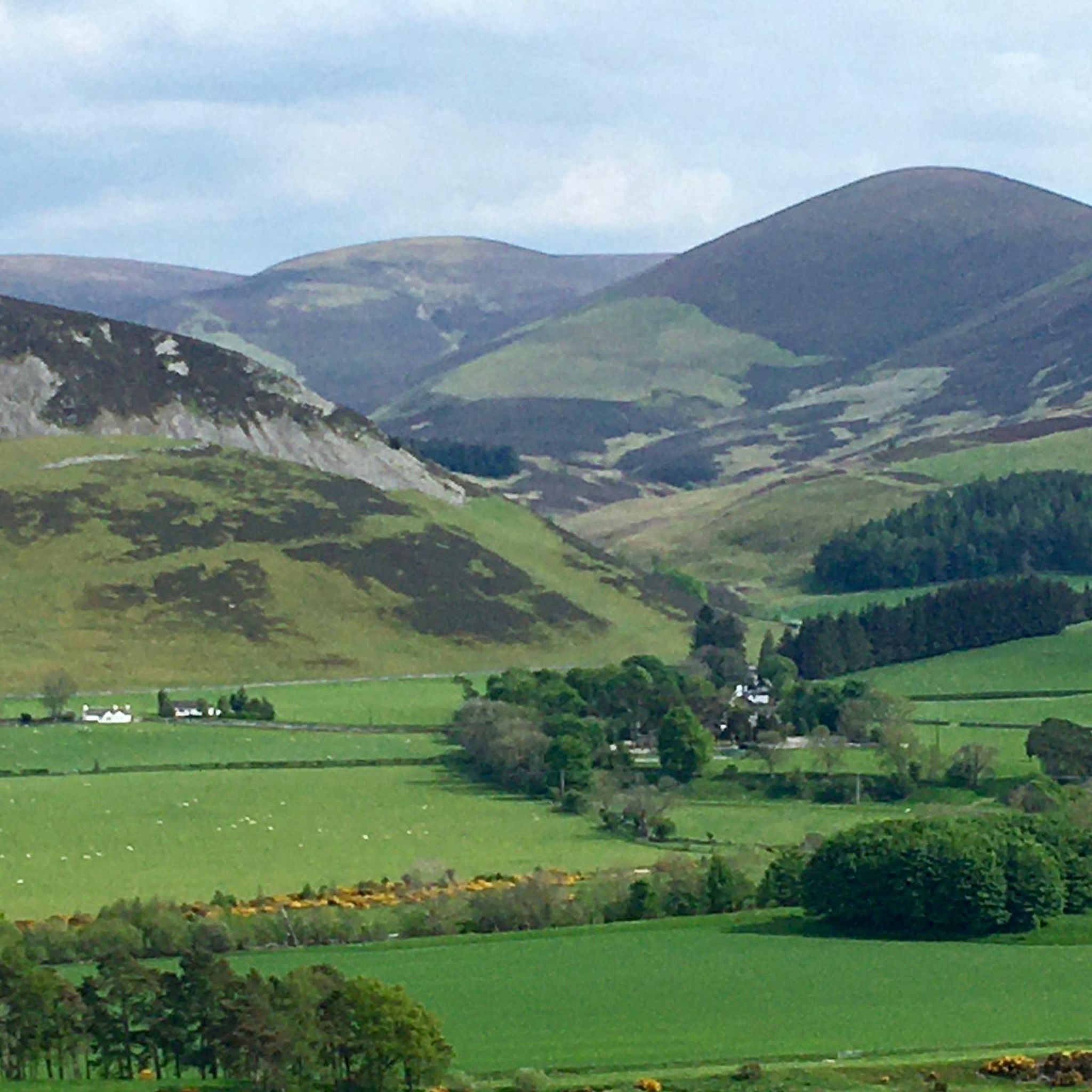
Jogging routes around Skirling traverse a landscape characterized by rolling hills and open countryside, typical of the Scottish Borders. The area features a mix of gentle inclines and flatter sections, often following river valleys or quiet country roads. Elevation changes are present, particularly on routes venturing into higher ground, offering varied running experiences.
Best jogging routes around Skirling
- The most popular jogging route is Hammer Head – Green Law loop from Broughton, an 8.3 miles (13.3 km) trail that…
Last updated: June 24, 2026
40
runners
Hard run. Very good fitness required. Sure-footedness, sturdy shoes and alpine experience required.
36
runners
9.72km
01:40
490m
490m
Hard run. Very good fitness required. Sure-footedness, sturdy shoes and alpine experience required.

Sign up for free
15
runners
9.30km
00:58
50m
50m
Moderate run. Good fitness required. Mostly paved surfaces. Suitable for all skill levels.
15
runners
5.08km
00:32
30m
30m
Moderate run. Good fitness required. Mostly paved surfaces. Suitable for all skill levels.
13
runners
5.88km
00:37
40m
40m
Moderate run. Good fitness required. Mostly paved surfaces. Suitable for all skill levels.
Get access to more routes and recommendations from other explorers.
Sign up for free
Already have an account?
Our route recommendations are based on thousands of hikes, rides, and runs completed by other people on komoot.
Start today with a free account
Your next adventure awaits.
Login or Signup
Tips from the Community

Friendly cafe with some space outside where a bike can be locked up.
0
0

I guessed that these new gravel roads might be a potential wind farm site, but it didnt seem big enough for such. There is a derelict farm building at the end of the gravel road
0
0

Broughton Heights is the highest of the fine range of hills lying to the east of the village. With grassy ridges and steep heathery slopes, the hills give some superb views. This route takes in Broughton Heights itself before returning over Hammer Head to take in Trahenna Hill.
0
0

Choices, choices, plenty of little gems for stocking up or sitting outside and enjoying the calm.
0
0

At 571m with a trig point and great views this is also known as Pyked Stane Hill Broughton Heights is the highest point in this range of hills.
0
0

Biggar lies on the A72 Clyde Valley Tourist Route and could be called South Lanarkshire's gateway to the Borders. It nestles among rolling hills and has spectacular views of Tinto Hill, the highest hill in South Lanarkshire.
0
0

Hike a bike up from John Buchan Way
0
0
Frequently Asked Questions
How many running routes are available around Skirling?
There are over 25 running routes available around Skirling, offering a variety of experiences for different skill levels. The komoot community has explored these trails over 200 times.
Are there easy running routes suitable for beginners in Skirling?
Yes, Skirling offers several routes suitable for beginners. For instance, the Cadger’s Brig – Biggar Town Centre loop from Biggar is a moderate 3.2 miles (5.1 km) trail with minimal elevation, perfect for a gentle run.
What is the typical length of running trails near Skirling?
Running trails around Skirling vary in length. You can find shorter routes like the Cadger’s Brig – Biggar Town Centre loop from Biggar at 3.2 miles (5.1 km), up to longer, more challenging runs such as the Hammer Head – Green Law loop from Broughton, which is 8.3 miles (13.3 km).
Can families enjoy jogging routes in Skirling?
Many of the moderate routes around Skirling are suitable for families looking for a pleasant run. Trails with minimal elevation changes, such as the Biggar High Street – Biggar Town Centre loop from Biggar, which winds through the local town area, are often a good choice for a family outing.
Are the running trails around Skirling dog-friendly?
Generally, the rural running trails around Skirling are dog-friendly, especially those traversing open countryside. However, it's always advisable to keep dogs on a lead, particularly near livestock or in nature conservation areas, and to check local signage for any specific restrictions.
What kind of terrain can I expect on running routes in Skirling?
The terrain around Skirling is characterized by rolling hills and open countryside, typical of the Scottish Borders. You'll encounter a mix of gentle inclines and flatter sections, often following river valleys or quiet country roads. Some routes, like those venturing towards Hammer Head, feature significant elevation gain.
What are some scenic viewpoints or landmarks along the running routes?
While running around Skirling, you can enjoy views of the rolling hills and open countryside. Notable landmarks and viewpoints in the wider area include Culter Fell Summit and Broughton Heights and Hammer Head, offering expansive vistas. The Rolling Hills Along the Lyne Water also provide picturesque scenery.
Are there circular running routes available in Skirling?
Yes, many of the running routes around Skirling are circular, allowing you to start and finish at the same point. Examples include the Hammer Head – Gray Yade loop from Broughton and the Stone Arch Bridge – Cadger’s Brig loop from Biggar.
What do other runners enjoy most about jogging in Skirling?
The running routes in Skirling are highly rated by the komoot community, with an average score of 3.8 stars from over 9 reviews. Runners often praise the varied terrain, from gentle paths through town to more challenging trails with significant elevation, and the peaceful, open countryside of the Scottish Borders.
What is the best time of year for running in Skirling?
Spring, summer, and early autumn generally offer the most pleasant conditions for running in Skirling, with milder temperatures and longer daylight hours. The vibrant greenery and blooming landscapes add to the experience. Winter runs are possible, but be prepared for colder, potentially wetter conditions and shorter days.
Are there running routes near cafes or places to refuel in Skirling?
While Skirling itself is a small village, routes that pass through or near larger settlements like Biggar, such as the Biggar High Street – Biggar Town Centre loop from Biggar, will offer opportunities to find cafes or shops for refreshments and to refuel after your run.
Most popular routes around Skirling
Most popular attractions around Skirling

Get inspired with the komoot mobile app


Explore more
Browse the best Running Trails & Routes in other regions.
