The best road cycling routes around Mount Blair
4.7
(113)
7,489
riders
16
rides
Road cycling routes around Mount Blair in Scotland traverse a significant hill within the southern Grampian Mountains, offering diverse terrain for cyclists. The region is characterized by mostly paved surfaces, varying elevation gains, and extensive views from its peak. These routes are situated between the scenic valleys of Glen Shee and Glen Isla, providing a mix of moderate to difficult cycling experiences.
Best road cycling routes around Mount Blair
- The most popular road cycling route is Glen Isla – The…
Last updated: October 11, 2026
13
riders
97.6km
04:43
1,190m
1,190m
Hard road ride. Very good fitness required. Some segments of this route may be unpaved and difficult to ride.
5.0
(1)
25
riders
19.8km
01:09
370m
370m
Moderate road ride. Good fitness required. Mostly well-paved surfaces and easy to ride.

27
riders
41.0km
01:54
500m
500m
Moderate road ride. Good fitness required. Mostly well-paved surfaces and easy to ride.
21
riders
48.9km
02:19
600m
600m
Moderate road ride. Good fitness required. Some segments of this route may be unpaved and difficult to ride.
11
riders
54.4km
02:36
710m
710m
Moderate road ride. Good fitness required. Mostly well-paved surfaces and easy to ride.
Get access to more routes and recommendations from other explorers.
Already have an account?
Our route recommendations are based on thousands of hikes, rides, and runs completed by other people on komoot.
Start today with a free account
Your next adventure awaits.
Popular around Mount Blair
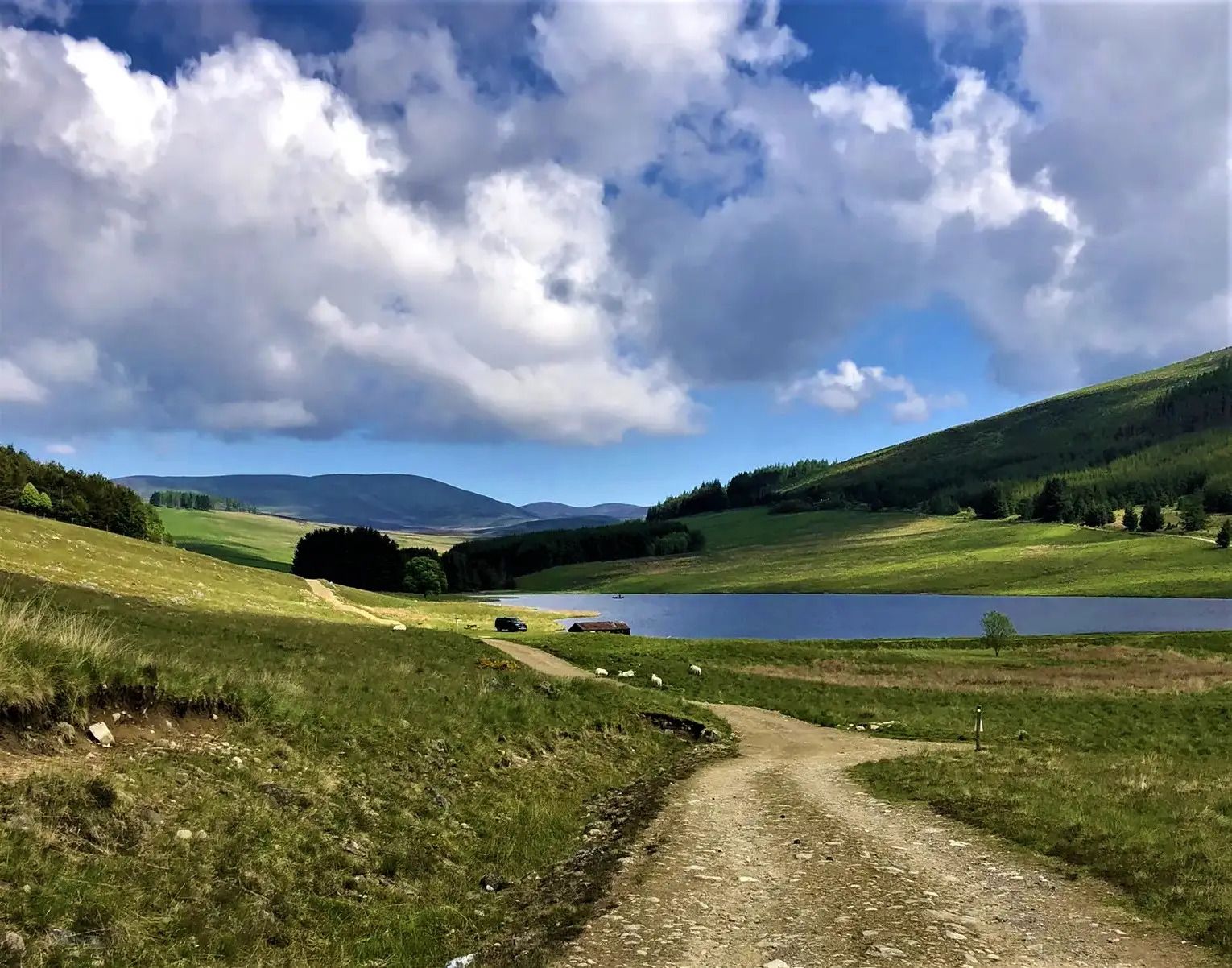
Cateran Trail — Hike old thieves' roads in a forgotten part of Scotland
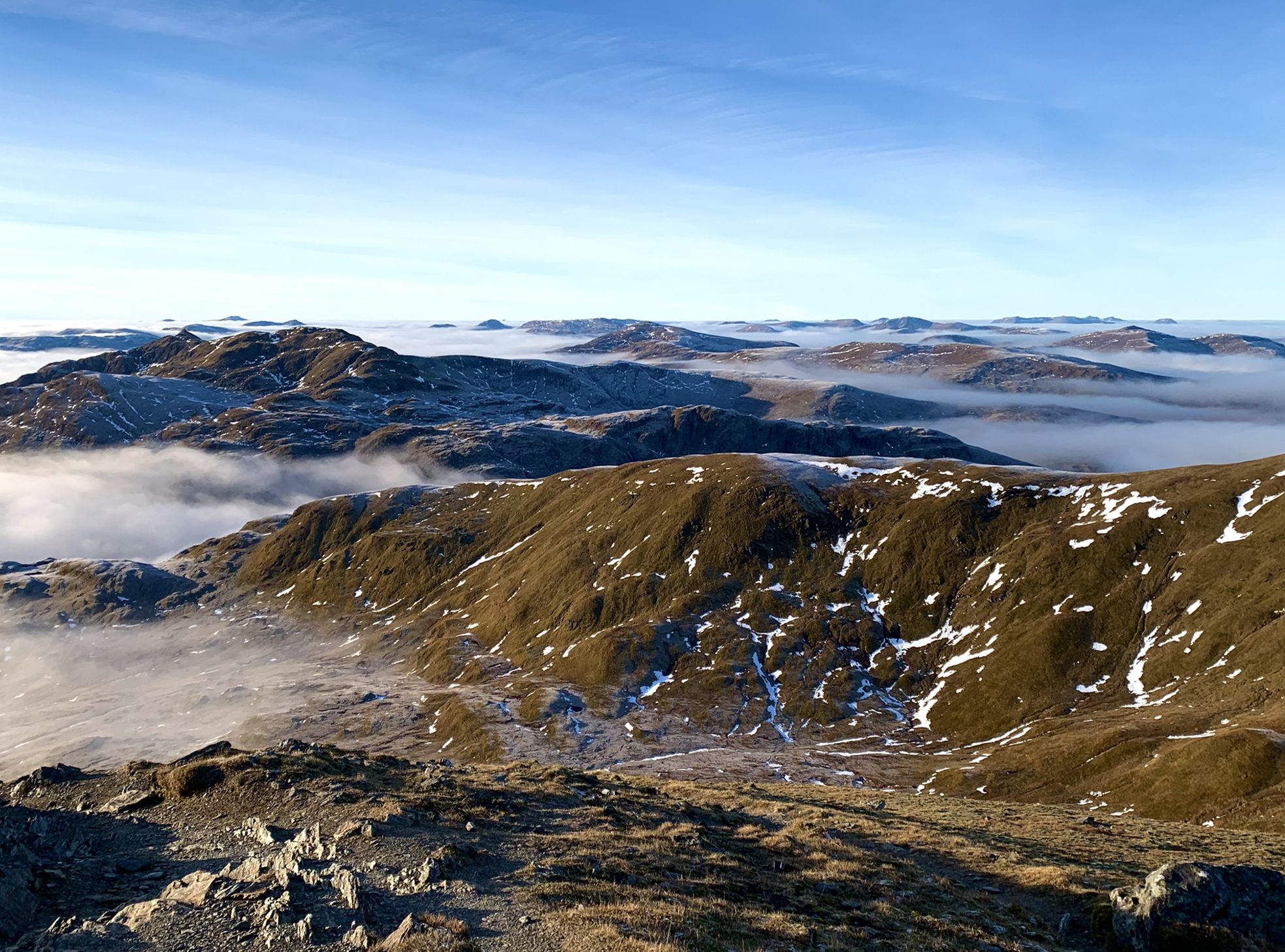
Hiking in Highland Perthshire – accessible giants and lovely glens
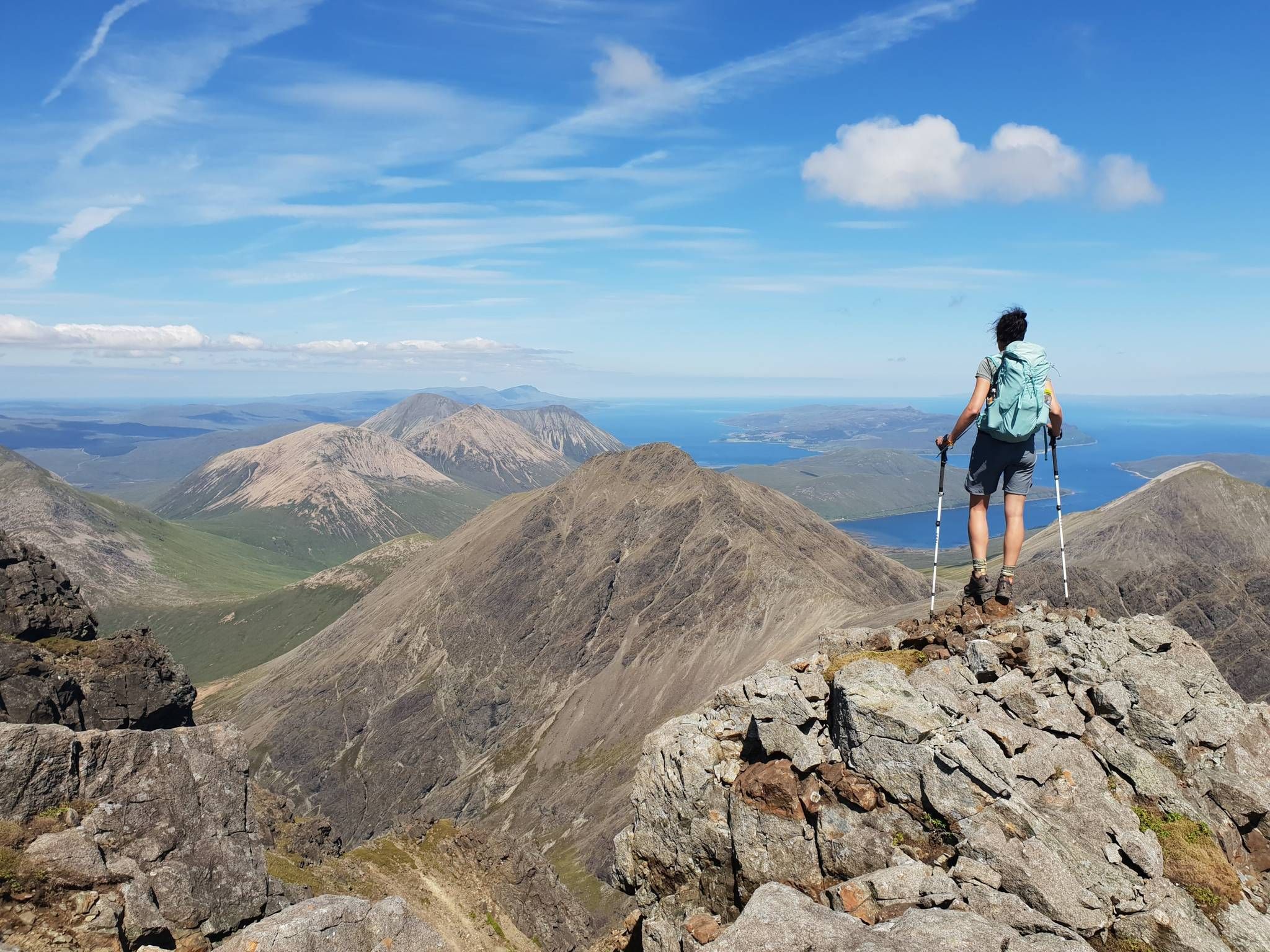
Hiking the 282 munro mountains of Scotland in 95 routes
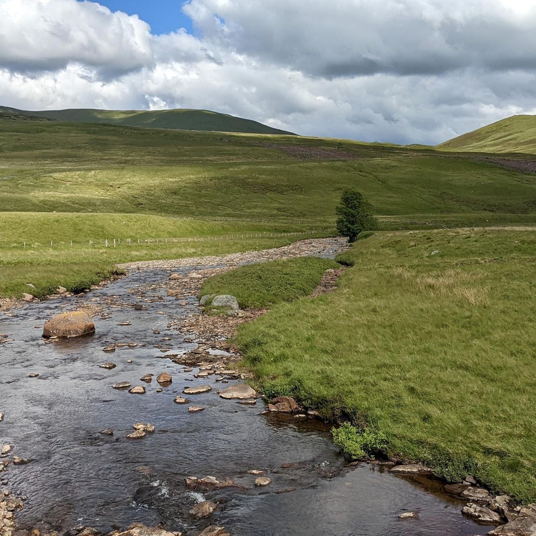
Hiking around Mount Blair
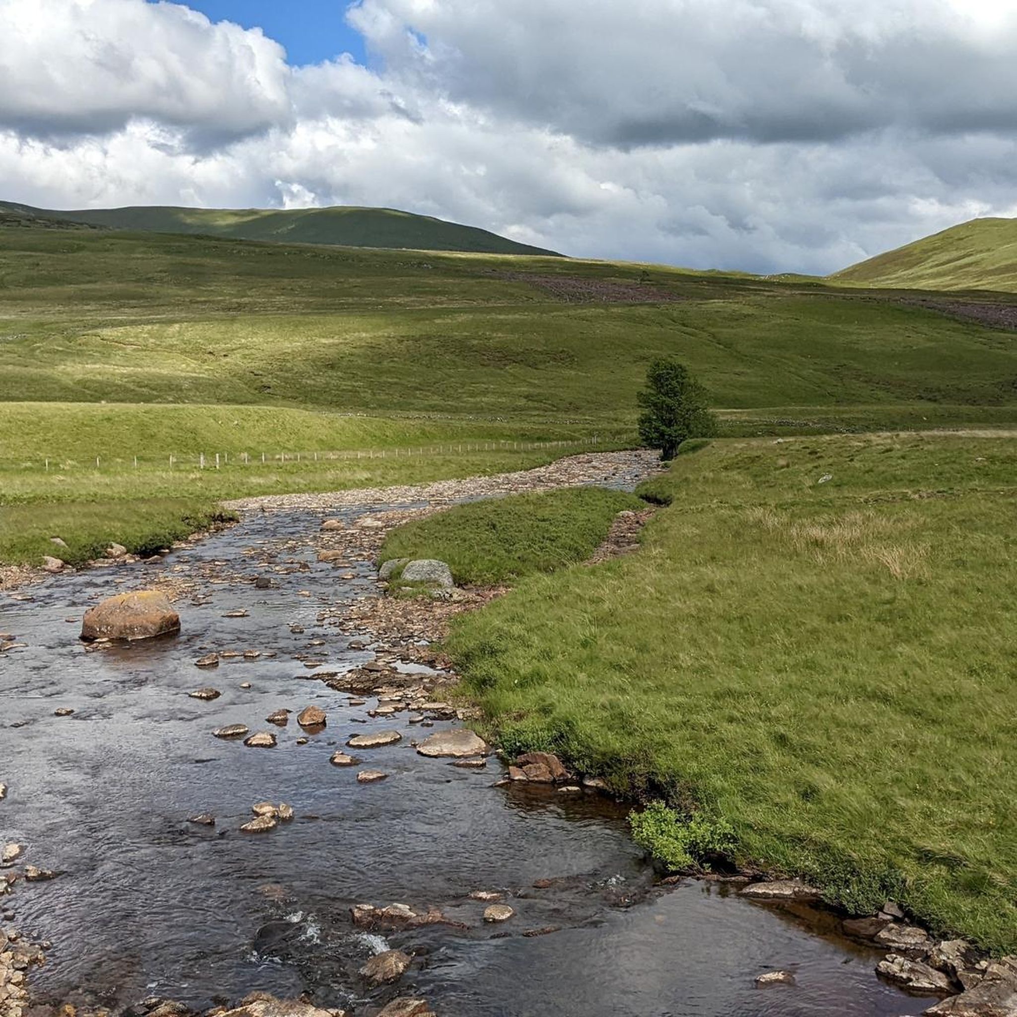
Running Trails around Mount Blair
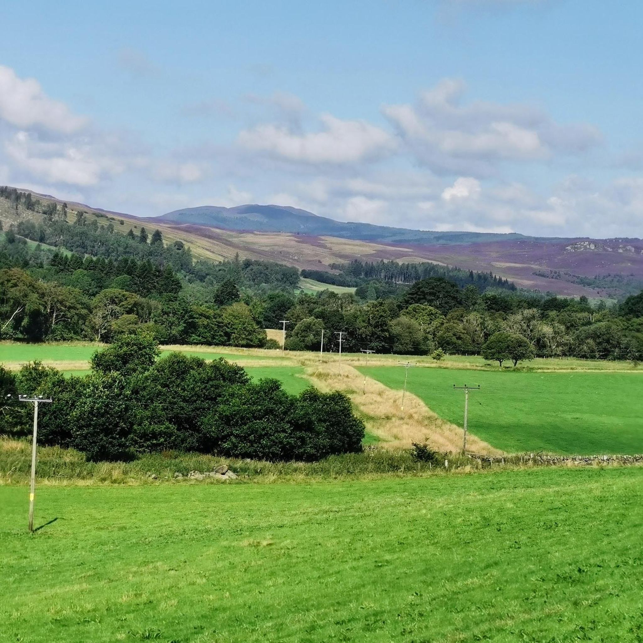
MTB Trails around Mount Blair
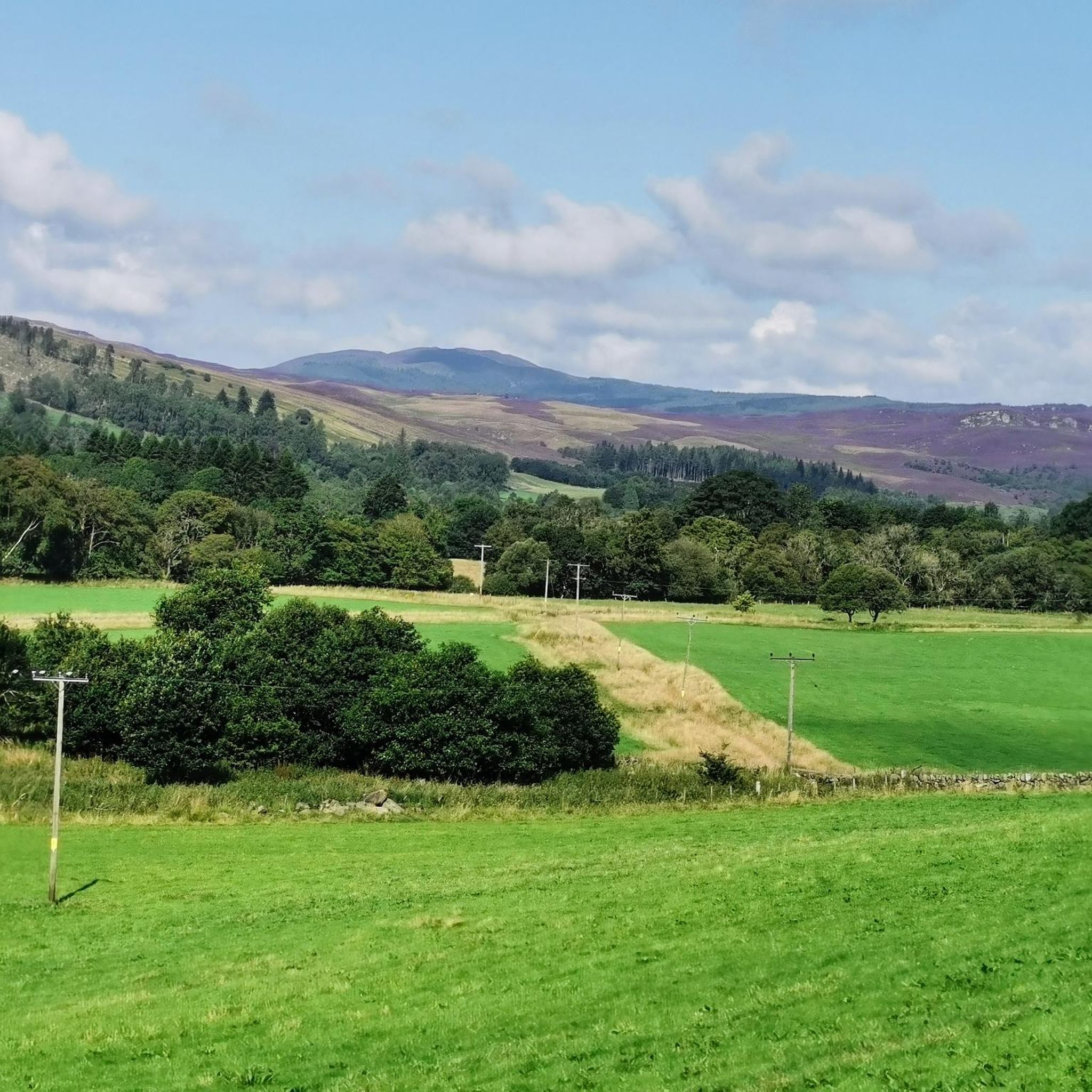
Cycling around Mount Blair
Gravel biking around Mount Blair
Mountain Hikes around Mount Blair
Other adventures around Mount Blair


Tips from the Community


A steady 8-10% climb from the south - amazing views.
0
0

Very delicious food, friendly service - my full recommendation! For those who the name "the bothy" doesn't mean anything: A Scotsman explained to me that a "bothy" is a hut (usually) in the mountains that has everything a wet, tired, hungry hiker needs for making fire, cooking, and sleeping. After use, the hut is returned to a clean state by the hiker, everything that can be replenished is replenished, and the rest is done by volunteers who have dedicated themselves to this task. Great thing!
0
0

Lively town with fine river walks and great coffee and food available Always something going on
0
0

In April, beautifully planted with colorful flowers and a great cherry tree in full bloom😍
0
0

During our cycling trip through the Cairngorms, we slept in a bothy every night, but we didn't find it anywhere else as comfortable as this one ;-) Delicious coffee and food. Plenty of room for everyone, and with an outdoor shop next door, it's also the perfect place to stock up on rations.
3
0

Glenshee Kirk stands on the site of a late Neolithic or early Bronze Age standing stone, still visible behind the church. A simple parish church, it reflects the austere style of remote Scottish churches and remains an active place of worship, with a popular Christmas service. The name "Glenshee" derives from the Gaelic shith (fairies), and legend tells that fairies thwarted its original construction at Runavey, forcing builders to relocate. The standing stone would have once been visible from Diarmuid’s Tomb stone circle.
0
0
The Spittal of Glenshee takes its name from the Old Scots word "spittal," meaning a hospital or resting place. Historically, it served as a shelter for travelers crossing the Cairngorms, especially drovers moving cattle and goods across the Highlands. It was an important stop for pilgrims and traders, providing respite from the harsh mountain terrain. Located at the head of Glenshee valley, the area was historically inhabited by the Clan Farquharson and other Highland clans, and served as a key point linking northern and southern Scotland. Over time, the settlement grew from a simple refuge into a more established community, reflecting the broader heritage of the Scottish Highlands and their role in connecting different regions.
0
0
Frequently Asked Questions
How many road cycling routes are available around Mount Blair?
The Mount Blair region offers a variety of road cycling routes. There are 16 routes in total, with 4 easy, 11 moderate, and 1 difficult option, catering to different skill levels.
What kind of terrain and elevation can I expect on road cycling routes near Mount Blair?
Road cycling around Mount Blair, situated in the southern Grampian Mountains, features mostly paved surfaces with varying elevation gains. You'll encounter routes with significant elevation changes, particularly in scenic valleys like Glen Shee and Glen Isla, offering a mix of moderate to difficult cycling experiences.
Are there any easy or beginner-friendly road cycling routes in the Mount Blair area?
Yes, there are 4 easy road cycling routes available around Mount Blair, suitable for beginners or those looking for a less strenuous ride. These routes generally have less elevation gain and shorter distances.
What do other road cyclists enjoy the most about road cycling in Mount Blair?
The komoot community highly rates the road cycling experience around Mount Blair, with an average score of 5.0 stars. Cyclists often praise the diverse terrain, the extensive views from the peak, and the scenic beauty of the Glen Shee and Glen Isla valleys.
Are there any circular road cycling routes around Mount Blair?
Yes, many of the routes around Mount Blair are designed as loops. For example, the Glen Isla – The Bothy Café loop from Bridge of Cally is a challenging 102.5 km circular route, and the The Bothy Café – View from Glenshee loop from Spittal of Glenshee offers a moderate 49.6 km loop.
What natural features or landmarks can I see along the road cycling routes?
The region offers extensive views from the peak of Mount Blair itself, which is topped by a transmitter mast. The routes lie between the scenic valleys of Glen Shee and Glen Isla. You can also find nearby attractions like Black Spout Waterfall or the Linn of Dee Waterfall and Bridge, which are popular highlights in the area.
Where can I find parking for road cycling routes around Mount Blair?
Specific parking information varies by route trailhead. However, common starting points like Spittal of Glenshee and Bridge of Cally, which are featured in popular routes such as the Spittal of Glenshee – View from Glenshee loop from Spittal of Glenshee, typically offer parking facilities for cyclists.
What is the best time of year for road cycling around Mount Blair?
The region around Mount Blair in Scotland is best enjoyed for road cycling during the warmer months, typically from spring through early autumn. This period offers more favorable weather conditions and longer daylight hours, making the significant elevation changes more manageable.
Are there any cafes or amenities available along the road cycling routes?
Yes, routes often pass through or near villages and towns where you can find cafes and other amenities. For instance, the Escape Route Café Pitlochry – Escape Route Bike Shop loop from Kirkmichael specifically mentions a cafe in its name, indicating available refreshment stops.
Can I find routes that offer views of waterfalls or gorges?
While the primary focus is road cycling, the region around Mount Blair is known for its natural beauty. You can find nearby attractions like Black Spout Waterfall and Soldier's Leap, a historical site within a gorge, which could be visited as part of a cycling trip or as a side excursion.
Are there any advanced or challenging road cycling routes in the area?
Yes, for experienced cyclists, there is at least one difficult route, the Glen Isla – The Bothy Café loop from Bridge of Cally. This 102.5 km trail involves significant elevation changes and requires good fitness.
What are the typical distances for road cycling routes around Mount Blair?
Route distances vary significantly, from shorter loops of around 19.8 km, like the Spittal of Glenshee – View from Glenshee loop from Spittal of Glenshee, to longer, more challenging rides exceeding 100 km, such as the Glen Isla – The Bothy Café loop from Bridge of Cally.
Most popular attractions around Mount Blair

Get inspired with the komoot mobile app


Explore more
Browse the best Road cycling routes in other regions.
