The best walks and hikes around Mount Blair
4.5
(1916)
13,382
hikers
27
hikes
Hikes around Mount Blair explore the rolling hills and heathery moorland on the border of Perthshire and Angus. The region, situated at the edge of the Cairngorms National Park, features a mix of prominent summits and lower-level paths through glens like Glen Isla. The trails consist of grassy tracks and established paths over open terrain.
Best hiking trails around Mount Blair
- The most popular hiking route is Ben Gulabin from Glenshee — Cairngorms National Park, a 3.7 mile (5.9…
Last updated: October 10, 2026
4.6
(9)
88
hikers
5.91km
02:18
430m
430m
Moderate hike. Good fitness required. Easily-accessible paths. Suitable for all skill levels.
4.7
(9)
88
hikers
Hard hike. Very good fitness required. Easily-accessible paths. Suitable for all skill levels.

4.0
(11)
35
hikers
Moderate hike. Good fitness required. Easily-accessible paths. Suitable for all skill levels.
4.5
(4)
62
hikers
Hard hike. Very good fitness required. Easily-accessible paths. Suitable for all skill levels.
4.4
(9)
56
hikers
6.72km
01:55
150m
160m
Easy hike. Great for any fitness level. Easily-accessible paths. Suitable for all skill levels.
Get access to more routes and recommendations from other explorers.
Already have an account?
Our route recommendations are based on thousands of hikes, rides, and runs completed by other people on komoot.
Start today with a free account
Your next adventure awaits.
Popular around Mount Blair
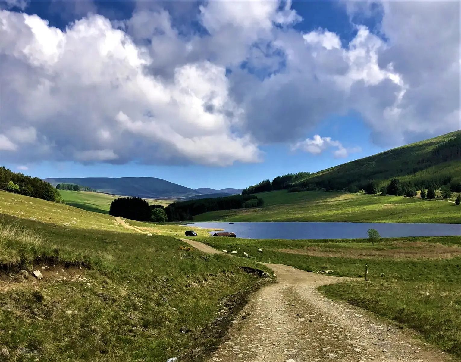
Cateran Trail — Hike old thieves' roads in a forgotten part of Scotland
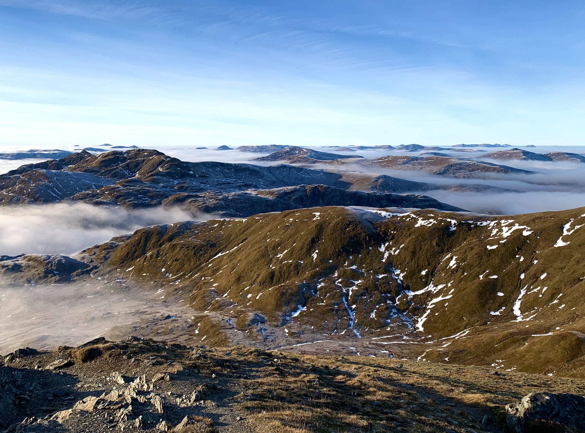
Hiking in Highland Perthshire – accessible giants and lovely glens
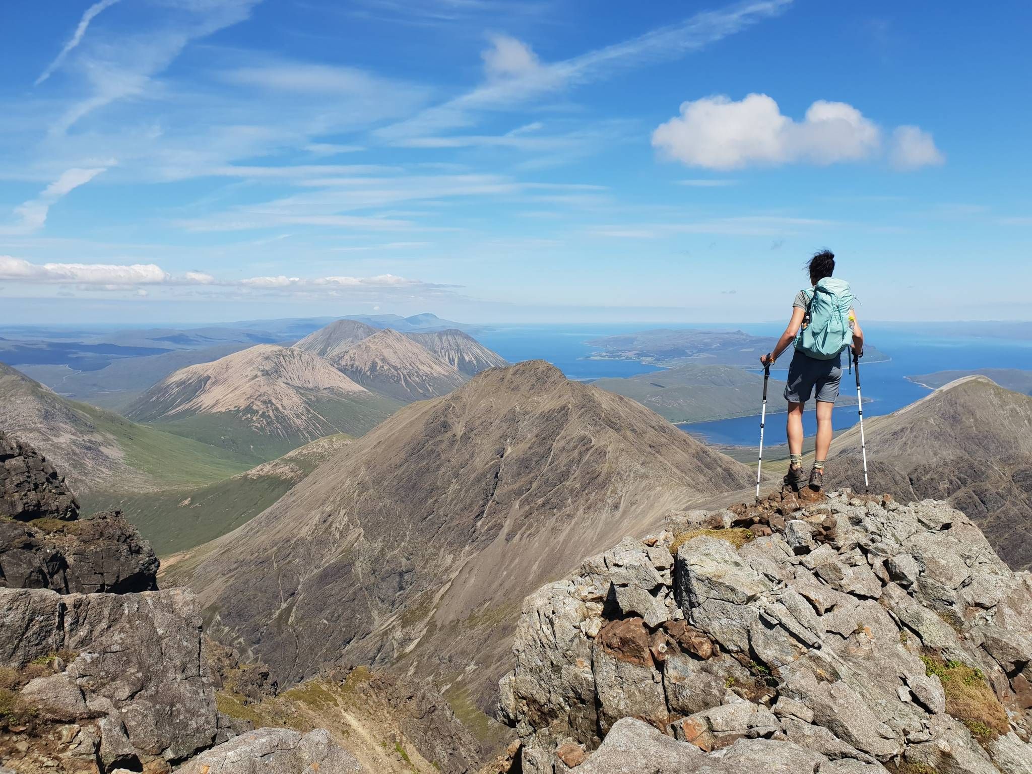
Hiking the 282 munro mountains of Scotland in 95 routes
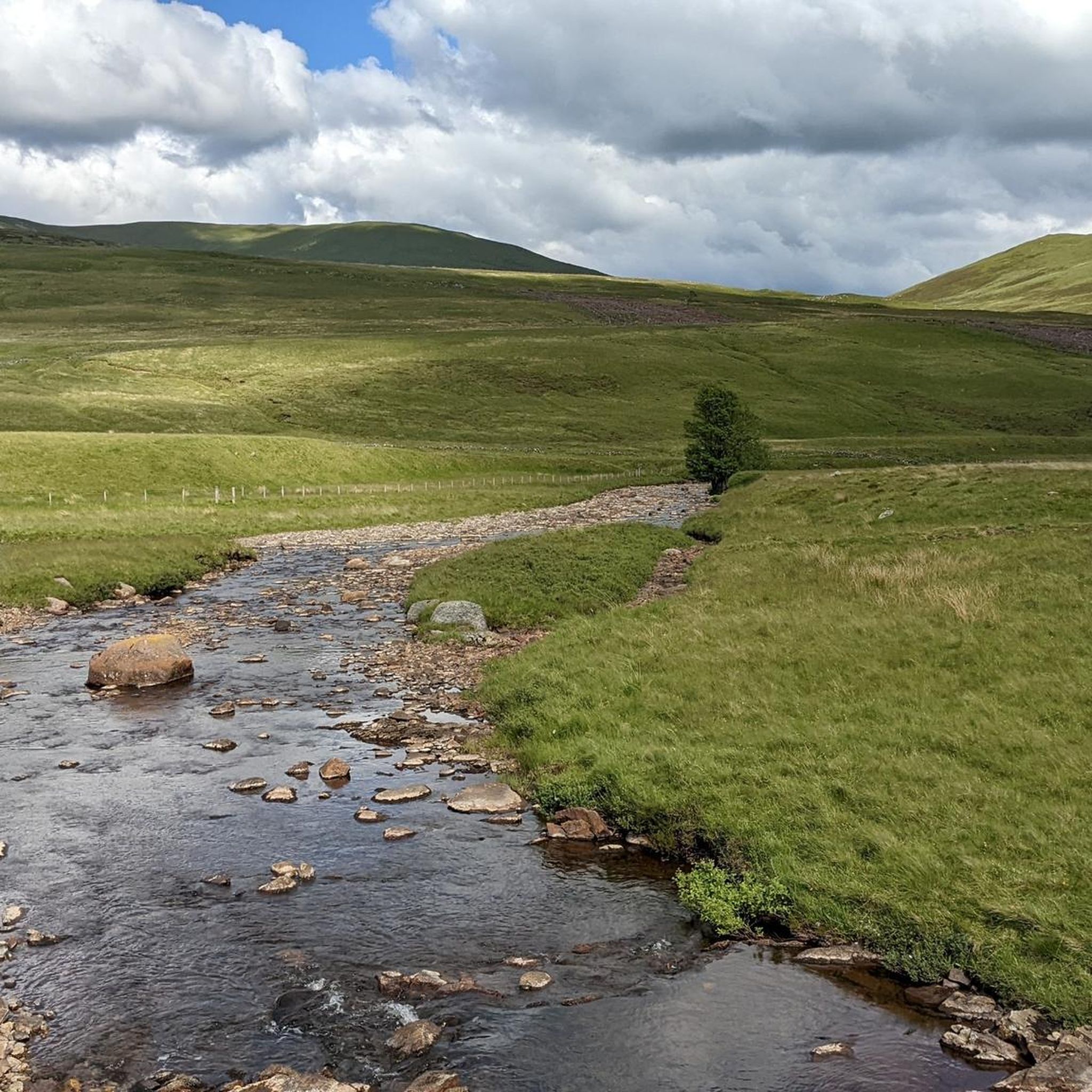
Running Trails around Mount Blair
MTB Trails around Mount Blair
Road Cycling Routes around Mount Blair
Cycling around Mount Blair
Gravel biking around Mount Blair
Mountain Hikes around Mount Blair
Other adventures around Mount Blair


Tips from the Community

Glenlochsie Lodge was a shooting lodge operated by the Dalmunzie Estate. A railway used to take shooting parties up from the castle hotel to the lodge. A distance of around 3km.
0
0

You cross the river arm over stones. We had to turn back and return to the castle.
0
0


2 or 3 river crossings. Your potentially getting wet. There is a high level bypass which is not a great cycle and boggy, stagnant and rocky in parts.
0
0

Nice short jaunt up Ben Gulabin. Easy parking at the lay-by at the start of the hike. Easy Landrover track to follow and then easy route to the summit. Large flat plateau at the summit but with little shelter.
0
0

A relatively easy Corbett to climb. From the road it is a straight forward track and a steady climb. The views from the top are great, looking onto some of the neighbouring Munros.
0
1

Glenshee Kirk stands on the site of a late Neolithic or early Bronze Age standing stone, still visible behind the church. A simple parish church, it reflects the austere style of remote Scottish churches and remains an active place of worship, with a popular Christmas service. The name "Glenshee" derives from the Gaelic shith (fairies), and legend tells that fairies thwarted its original construction at Runavey, forcing builders to relocate. The standing stone would have once been visible from Diarmuid’s Tomb stone circle.
0
0
The Spittal of Glenshee takes its name from the Old Scots word "spittal," meaning a hospital or resting place. Historically, it served as a shelter for travelers crossing the Cairngorms, especially drovers moving cattle and goods across the Highlands. It was an important stop for pilgrims and traders, providing respite from the harsh mountain terrain. Located at the head of Glenshee valley, the area was historically inhabited by the Clan Farquharson and other Highland clans, and served as a key point linking northern and southern Scotland. Over time, the settlement grew from a simple refuge into a more established community, reflecting the broader heritage of the Scottish Highlands and their role in connecting different regions.
0
0
Frequently Asked Questions
How difficult are the hikes around Mount Blair?
The trails range from easy to difficult, offering something for most fitness levels. You'll find 7 easy routes, which are great for a relaxed day out, and 16 moderate trails that provide more of a challenge. For experienced hikers looking for a strenuous trek, there are 4 difficult hikes available.
Are there any family-friendly walks in the area?
Yes, the region has several trails suitable for families. A good option is the Kirkmichael Path Network loop from Kirkmichael. It's a relatively short and easy walk through the local path network, making it manageable for younger hikers.
Can I bring my dog on the trails around Mount Blair?
Dogs are generally welcome on the trails, but the area is characterized by open moorland which is often home to ground-nesting birds and grazing livestock, particularly sheep. It is essential to keep your dog under close control at all times, and on a lead where livestock is present, to protect the local wildlife and farm animals.
What is the best time of year to hike around Mount Blair?
The best time to hike is from late spring to early autumn when the weather is milder and the days are longer. The heather moorland is particularly beautiful in late summer when it turns a vibrant purple. Winter hiking is possible for experienced and well-equipped walkers, but be prepared for snow, ice, and challenging conditions on the higher summits.
How do I get to the trailheads and is there parking?
Most trailheads in the Mount Blair area are best accessed by car. Parking is typically available at the start of popular routes, such as near the Spittal of Glenshee or Dalmunzie Hotel for walks in that area. These are often small, informal car parks, so it's a good idea to arrive early on weekends to secure a spot.
Are there any circular or loop hikes available?
Yes, there are several excellent circular routes. For a moderate loop with lovely scenery, consider the Dalmunzie Castle Hotel – Spittal of Glenshee loop from Spittal of Glenshee. This trail offers a varied walk through the glen without a major summit climb.
What should I pack for a day hike on Mount Blair?
You should always be prepared for changing weather. Essential items include waterproof and windproof clothing, sturdy hiking boots, a map and compass (or a fully charged phone with the komoot app), plenty of water, and snacks. Even on a clear day, the summits can be windy and much colder than the glens.
What do other hikers think of the trails around Mount Blair?
The area is highly regarded by the komoot community, with an average rating of 4.5 stars from over 780 reviews. Hikers often praise the stunning 360-degree panoramic views from the summits and the classic Scottish scenery of rolling hills and heathery moorland.
Are there any challenging, full-day hikes for experienced walkers?
Absolutely. For a demanding but rewarding day out, the Dalmunzie Castle Hotel – Glas Tulaichean Summit loop from Dalmunzie Hotel Hillwalkers Car Park is an excellent choice. This difficult hike covers about 10 miles (16 km) and involves a significant ascent to the summit of a Munro, offering expansive views of the Cairngorms.
Can I hike a section of the Cateran Trail near Mount Blair?
Yes, the Cateran Trail, a 64-mile circular long-distance route, passes through the region. You can walk sections of it, for example near Kirkmichael or Spittal of Glenshee, to experience this historic drovers' road as part of a shorter day hike.
What kind of wildlife might I see?
The open moorlands and glens around Mount Blair provide habitat for a variety of wildlife. Keep an eye out for red deer, mountain hares, and birds of prey such as buzzards and golden eagles. In the heather, you might also spot red grouse.
Most popular attractions around Mount Blair

Get inspired with the komoot mobile app


Explore more
Browse the best Hikes in other regions.
