The best walks and hikes around Pitteuchar Finglassie And Stenton Glenrothes
4.6
(550)
4,723
hikers
176
hikes
Hiking around Pitteuchar Finglassie And Stenton Glenrothes offers diverse landscapes, including the prominent Lomond Hills, which feature East Lomond and West Lomond, the highest point in Fife. The region is characterized by tranquil reservoirs such as Harperleas and Holl, alongside extensive woodlands like Formonthills and Coul Den Nature Reserve. Trails also follow the scenic River Leven Valley, providing varied terrain for outdoor exploration.
Best hiking trails around Pitteuchar Finglassie And Stenton Glenrothes
- The most popular hiking route is Rural Path Near Glenrothes – Fast Section Through Woodland loop from Glenrothes, a 6.7 miles (10.8 km) trail that takes 2 hours 50 minutes to complete. This moderate route features varied woodland paths and open sections.
- Another top favourite among local hikers is Fast Section Through Woodland – Rural Path Near Glenrothes loop from Glenrothes, an easy 4.2 miles (6.8 km) path. This trail offers accessible woodland walking with gentle elevation changes.
- Local hikers also love the Hiking loop from Glenrothes with Thornton, a 2.9 miles (4.7 km) trail leading through local green spaces, often completed in about 1 hour 13 minutes.
- Hiking around Pitteuchar Finglassie And Stenton Glenrothes is defined by the Lomond Hills, serene reservoirs, and diverse woodlands. The network offers options for various ability levels, from easy strolls to more challenging ascents.
- The routes in Pitteuchar Finglassie And Stenton Glenrothes are highly rated by the komoot community with an average score of 4.6 stars from over 480 reviews. More than 4000 hikers have used komoot to explore Pitteuchar Finglassie And Stenton Glenrothes's varied terrain.
Last updated: October 11, 2026
4.3
(4)
12
hikers
Moderate hike. Good fitness required. Easily-accessible paths. Suitable for all skill levels.
5.0
(1)
4
hikers
Easy hike. Great for any fitness level. Easily-accessible paths. Suitable for all skill levels.

5.0
(1)
3
hikers
4.74km
01:13
20m
20m
Easy hike. Great for any fitness level. Easily-accessible paths. Suitable for all skill levels.
5
hikers
Moderate hike. Good fitness required. Easily-accessible paths. Suitable for all skill levels.
2
hikers
4.35km
01:08
30m
30m
Easy hike. Great for any fitness level. Easily-accessible paths. Suitable for all skill levels.
Get access to more routes and recommendations from other explorers.
Already have an account?
Our route recommendations are based on thousands of hikes, rides, and runs completed by other people on komoot.
Start today with a free account
Your next adventure awaits.
Popular around Pitteuchar Finglassie And Stenton Glenrothes
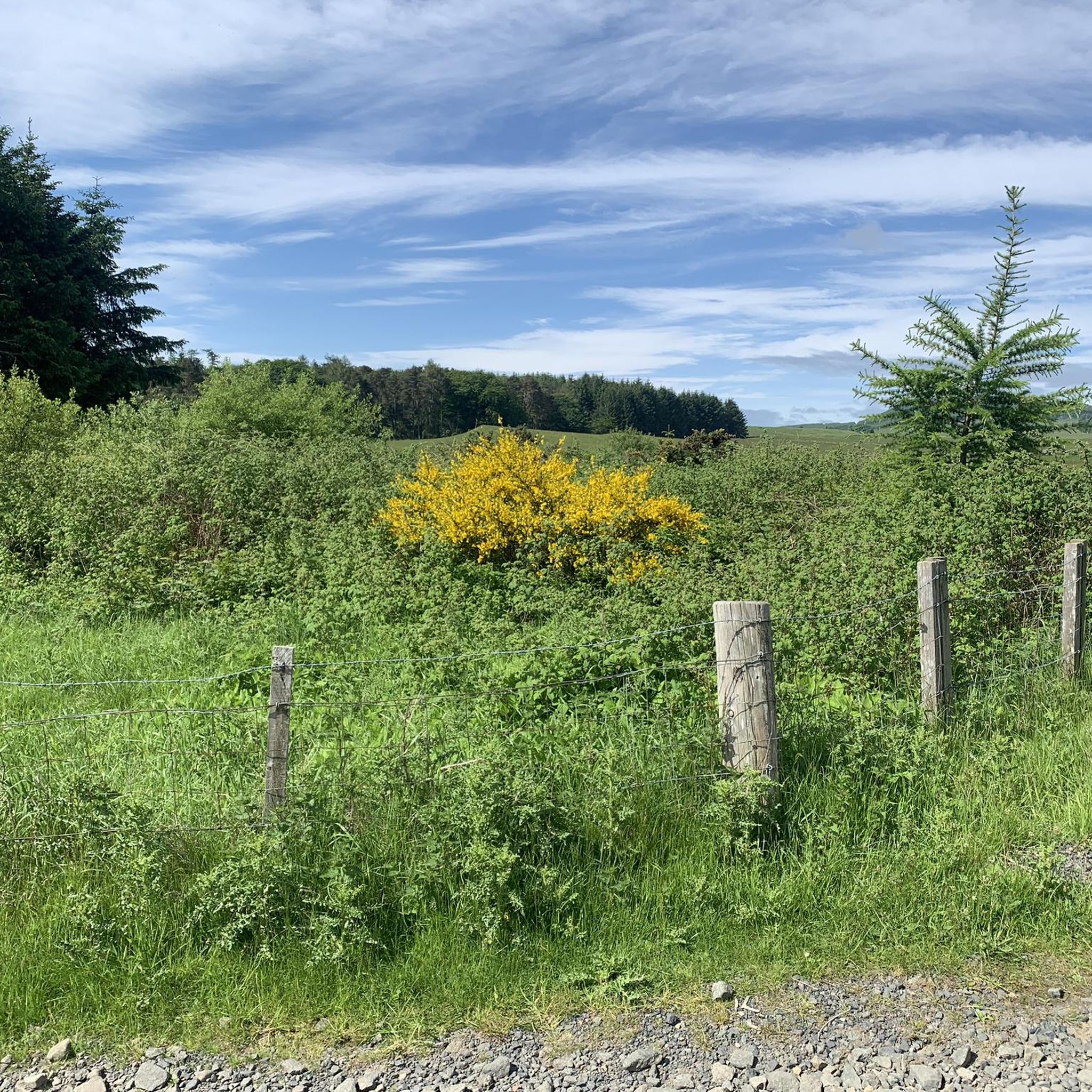
MTB Trails around Pitteuchar Finglassie And Stenton Glenrothes
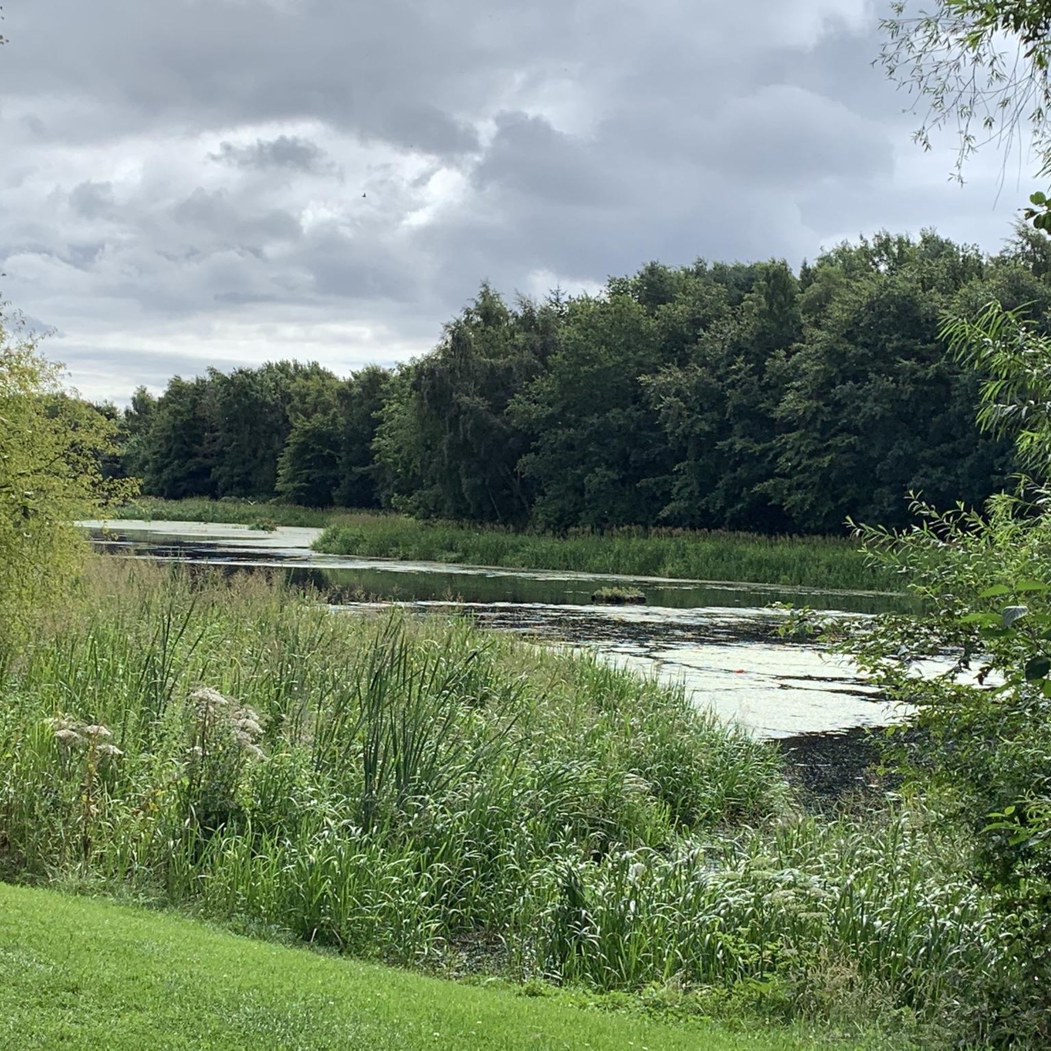
Road Cycling Routes around Pitteuchar Finglassie And Stenton Glenrothes
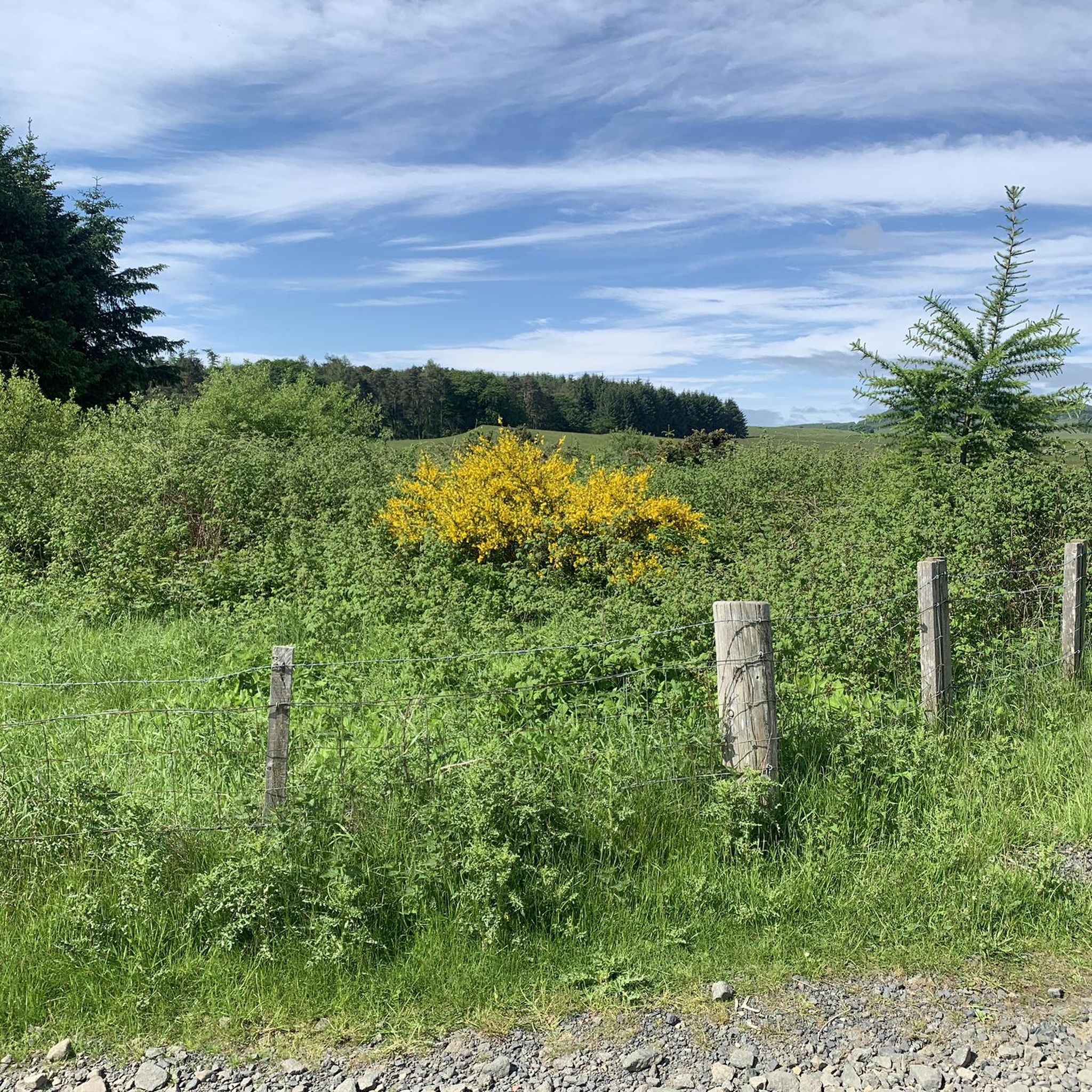
Cycling around Pitteuchar Finglassie And Stenton Glenrothes
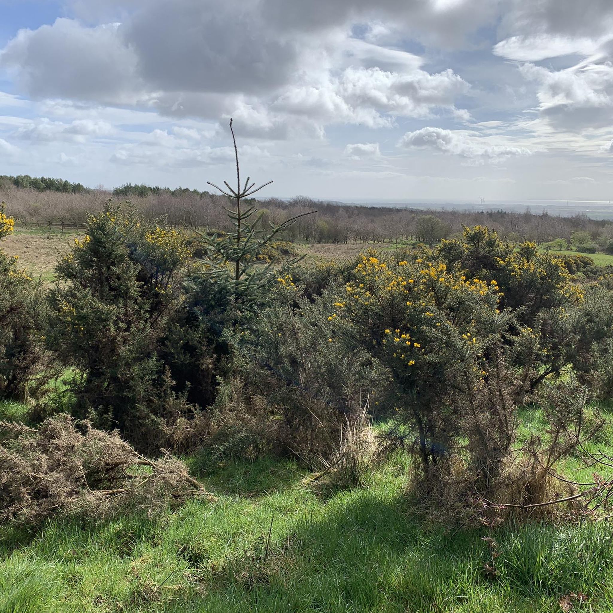
Running Trails around Pitteuchar Finglassie And Stenton Glenrothes
Gravel biking around Pitteuchar Finglassie And Stenton Glenrothes
Tips from the Community

Looks like an extensive and well constructed facility
0
0

An enjoyable section of a wide single track through woodland. Up and down with slight turns, it is very easy to build speed up and race through. Be careful as dog walkers are there also. Some parts are on slight corners and you can not see around the other side, just make sure the brakes are working well
0
0
I was dreading having to lift the bike over these steps, surprisingly, I was able to ride up and down the other side without dismounting. The steps are far enough apart to get good balance and peddle. You just need decent balance
0
0

In 1957 a Gloster Meteor got into difficulties and crashed near Dunnikeir school. The pilot took evasive action. Missing the school and preventing what could have been a disaster.
0
0

The Scottish Outdoor Access Code A practical guide for all - https://www.outdooraccess-scotland.scot/practical-guide-all Car parking: https://www.outdooraccess-scotland.scot/practical-guide-all/out-and-about/car-parking Field edges - https://www.outdooraccess-scotland.scot/practical-guide-all/fields-crops Dog walking - https://www.outdooraccess-scotland.scot/practical-guide-all/dog-walking Farm animals - https://www.outdooraccess-scotland.scot/practical-guide-all/farm-animals Farmyards: https://www.outdooraccess-scotland.scot/practical-guide-all/property/farmyards Houses & Gardens: https://www.outdooraccess-scotland.scot/practical-guide-all/property/houses-and-gardens The Highway Code – Pedestrians: https://www.gov.uk/guidance/the-highway-code/rules-for-pedestrians-1-to-35
0
0
Refreshment locations. Fife Airport, Skyview Café: https://www.facebook.com/Skyviewcafefife/ Location: https://g.page/FifeAirport?share David's Kitchen: https://davids-kitchen.co.uk/ Location: https://goo.gl/maps/tdUdC5g3fTP3bPvp9 The Foxton: https://www.foxtonsbar.co.uk/ Location: https://goo.gl/maps/krsZLL3fdQeWJFWT7
0
0
Be aware that there is a short section of road walking and a dual-carriagway to cross. The Highway Code – Pedestrians: https://www.gov.uk/guidance/the-highway-code/rules-for-pedestrians-1-to-35 Car parking may be available on Detroit Road: https://goo.gl/maps/2moMjFKjDPmcWSjU8 Traveline Scotland transport planner: https://www.travelinescotland.com/lts/#/travelInfo Enter Bus Stop Name or Bus stop ID in TravelineScotland, Journey Planner entry points. Bus stops 0.25ml from start of route. Bus Stop name: Detroit Road - Bus Stop ID: 34348245 https://goo.gl/maps/VKigSGXma6kpW8Po9 Bus Stop name: Detroit Road - Bus Stop ID: 34348246 https://goo.gl/maps/Rqe5XSDx1eKzhaVp7
0
0
Going over the bridge leads on to a path to Thornton
0
0
Frequently Asked Questions
How many hiking trails are available in Pitteuchar Finglassie And Stenton Glenrothes?
There are over 180 hiking routes available in the Pitteuchar Finglassie And Stenton Glenrothes area, offering a wide variety of options for different skill levels and preferences.
What kind of landscapes can I expect to see while hiking in this region?
The region offers diverse landscapes, from the majestic Lomond Hills, including East and West Lomond, to tranquil reservoirs like Harperleas and Holl. You'll also find extensive woodlands such as Formonthills and Coul Den Nature Reserve, and scenic paths along the River Leven Valley.
What do other hikers enjoy most about the trails here?
The trails in Pitteuchar Finglassie And Stenton Glenrothes are highly rated by the komoot community, with an average score of 4.6 stars from over 480 reviews. Hikers often praise the varied terrain, from accessible woodland walks to more challenging ascents, and the natural beauty of the Lomond Hills and serene reservoirs.
Are there easy hiking trails suitable for beginners or casual walkers?
Yes, there are many easy trails perfect for beginners or those looking for a relaxed stroll. For example, the Fast Section Through Woodland – Rural Path Near Glenrothes loop from Glenrothes is an easy 6.8 km path, and the Rural Path Near Glenrothes loop from Finglassie is another accessible 4.8 km option.
Are there more challenging hikes for experienced walkers?
Yes, for more experienced hikers, the region offers challenging ascents, particularly around the Lomond Hills. West Lomond, the highest point in Fife, provides excellent opportunities for more strenuous hikes with far-reaching views. There are 7 difficult routes in the area for those seeking a greater challenge.
Are the hiking trails around Pitteuchar Finglassie And Stenton Glenrothes suitable for families with children?
Many trails in the area are suitable for families, especially the easy and moderate routes through woodlands and along the River Leven. These often feature accessible paths and gentle elevation changes, making them enjoyable for all ages. Look for routes described as 'easy' in the guide for family-friendly options.
Can I bring my dog on the hiking trails?
Generally, dogs are welcome on most hiking trails in the Pitteuchar Finglassie And Stenton Glenrothes area. However, it's always recommended to keep dogs on a lead, especially near livestock, in nature reserves like Coul Den, or in areas with ground-nesting birds. Please also ensure you clean up after your pet.
Are there any circular hiking routes in the area?
Yes, many of the trails are circular, allowing you to start and end at the same point. Examples include the Hiking loop from Glenrothes with Thornton and the Rural Path Near Glenrothes – Fast Section Through Woodland loop from Glenrothes. The Four Reservoirs Circuit is also a noted local walk.
What natural features or landmarks can I explore along the trails?
You can explore prominent natural features like the Lomond Hills, including East Lomond and West Lomond Summit. The area also features tranquil reservoirs such as Harperleas and Holl, and the scenic River Leven Valley. For historical interest, the ruins of Leslie House can be seen along the Riverside Route, and you can visit nearby castles like MacDuff's Castle or Falkland Palace.
Are there any woodlands or nature reserves to explore?
Absolutely. The region is rich in woodlands and nature reserves. Formonthills, a Woodland Trust site, offers various trails through mixed woodland and meadows. Adjacent to it is the Coul Den Nature Reserve, providing additional paths that can be linked for longer explorations through diverse flora and fauna.
Is there public transport access to the hiking areas?
Glenrothes is a well-connected town, and many trailheads are accessible via local bus services. For specific routes, it's advisable to check local bus timetables to plan your journey to the starting points of the trails around Pitteuchar, Finglassie, and Stenton.
Where can I find parking for hiking trails in the area?
Parking is generally available at various points around the trailheads, especially near popular areas like Formonthills and within Glenrothes itself. Specific parking information for individual routes can often be found on the komoot tour pages or local council websites.
Most popular routes around Pitteuchar Finglassie And Stenton Glenrothes
Most popular attractions around Pitteuchar Finglassie And Stenton Glenrothes

Get inspired with the komoot mobile app


Explore more
Browse the best Hikes in other regions.
