The best walks and hikes around Burntisland
4.5
(389)
4,985
hikers
21
hikes
Hikes around Burntisland explore a varied landscape on the Fife coast. The region is characterized by its coastal paths along the Firth of Forth, sandy beaches, and the prominent volcanic hill known as The Binn, which stands at 193 meters. The network of trails includes woodland sections and routes that connect to nearby villages like Kinghorn and Aberdour.
Best hiking trails around Burntisland
- The most popular hiking route is Kinghorn Loch – Burntisland Beach loop from Burntisland, a 6.4 mile (10.2 km) trail that takes about 2 hours 45 minutes to complete. This route combines a walk by the freshwater loch with a section along the beach.
- Another top favourite among local hiking enthusiasts is The Binn Cup and Ring Marks – The Binn Summit Viewpoint loop from Burntisland, an easy 3.7 mile (5.9 km) path. The trail ascends to the summit of The Binn, offering panoramic views over the surrounding area.
- Local hiking enthusiasts also love the Silversands Beach, Aberdour – Foreshore Near Carron Harbour loop from Burntisland, a 7.7 mile (12.3 km) trail leading along the Fife Coastal Path, often completed in about 3 hours 20 minutes.
- Hiking around Burntisland is defined by coastal paths, sandy beaches, and the ascent of the volcanic hill, The Binn. The trail network provides options for different fitness levels, from easy loops to more challenging coastal treks.
- The routes in Burntisland are highly rated by the komoot community with an average score of 4.5 stars from over 270 reviews. More than 4,300 hikers have used komoot to explore Burntisland's varied terrain.
Last updated: October 12, 2026
4.6
(5)
116
hikers
Moderate hike. Good fitness required. Easily-accessible paths. Suitable for all skill levels.
4.3
(3)
41
hikers
10.0km
02:42
130m
130m
Moderate hike. Good fitness required. Easily-accessible paths. Suitable for all skill levels.

4.4
(5)
37
hikers
18.0km
04:47
190m
190m
Moderate hike. Good fitness required. Easily-accessible paths. Suitable for all skill levels.
2.5
(2)
40
hikers
11.4km
03:02
120m
120m
Moderate hike. Good fitness required. Easily-accessible paths. Suitable for all skill levels.
4.5
(4)
37
hikers
Easy hike. Great for any fitness level. Easily-accessible paths. Suitable for all skill levels.
Get access to more routes and recommendations from other explorers.
Already have an account?
Our route recommendations are based on thousands of hikes, rides, and runs completed by other people on komoot.
Start today with a free account
Your next adventure awaits.

Tips from the Community

The castle Rossend, largely dating from the 16th century, was built on the site of a castle. This castle (donjon) has been documented since 1119. From 1382, the building was called Abbot's Hall, as the abbot of Dunfermline lived here. From 1552, the castle was rebuilt and the year 1554 was subsequently added. The castle was also visited by Mary, Queen of Scots. On February 14, 1562, the French ambassador and poet Chastelard was found under her bed. In 1651, soldiers of Oliver Cromwell captured the castle. After several further changes of ownership, the castle was bought in 1975 by the architectural firm Robert Hard & Partners. The castle is not open to visitors.
0
0
Here is an archway, which probably once served as the entrance to Rossend Castle. It is decorated with the Scottish coat of arms lion and dates from the year 1382.
0
0
A noteworthy railway bridge is located here shortly before or after Burntisland station. On one of the bridge piers, a plaque can be found in honour of William Bald. He lived from 1788 to 1857 and was born in Burntisland. As a cartographer, surveyor and civil engineer in Scotland and Ireland, he built, among other things, the Antrim Coast Road - a coastal road with fantastic views, cliffs and arches.
0
0
Here is an old dovecote. It probably dates from the 18th century and offers space for over 500 pigeons.
0
0
Here are some ruins of the former district of High Binn. Miners were housed in the buildings. They extracted oil shale from mines that lay more than a hundred meters below sea level. The place was built around 1880 and housed 564 workers in 1881. The place was formally abandoned in 1931 due to lack of infrastructure and the end of oil shale mining. Only in 1954 did the last resident, 74-year-old George Hood, leave the place.
0
0
A small cave can be discovered at the edge of the path. It probably serves as a shelter for one animal or another.
0
0
Here is a board that provides information about the relationships of kings, queens, and Oliver Cromwell to Burntisland.
0
0
The square parish church in Burntisland was opened in 1594 after a three-year construction period. It is therefore the earliest post-Reformation church in Scotland. Here, in 1601, the new translation of the Bible into English was also decided, which resulted in the so-called King James Bible. Accordingly, the church is also referred to as the "birthplace of the Bible". The tower, originally built of wood, was constructed of stone in 1748. Andrew Carnegie, who was born in nearby Dunfermline, donated the organ in 1909.
0
0
Frequently Asked Questions
Are there many circular walks starting from Burntisland?
Yes, Burntisland is an excellent starting point for circular hikes. You can find several loops that combine different types of scenery. For a moderate option that includes both coastal and inland scenery, consider the Kinghorn East Beach – Coat of Arms Stone Carving loop. Many routes also incorporate the Fife Coastal Path before looping back through the countryside.
What are the views like from the top of The Binn?
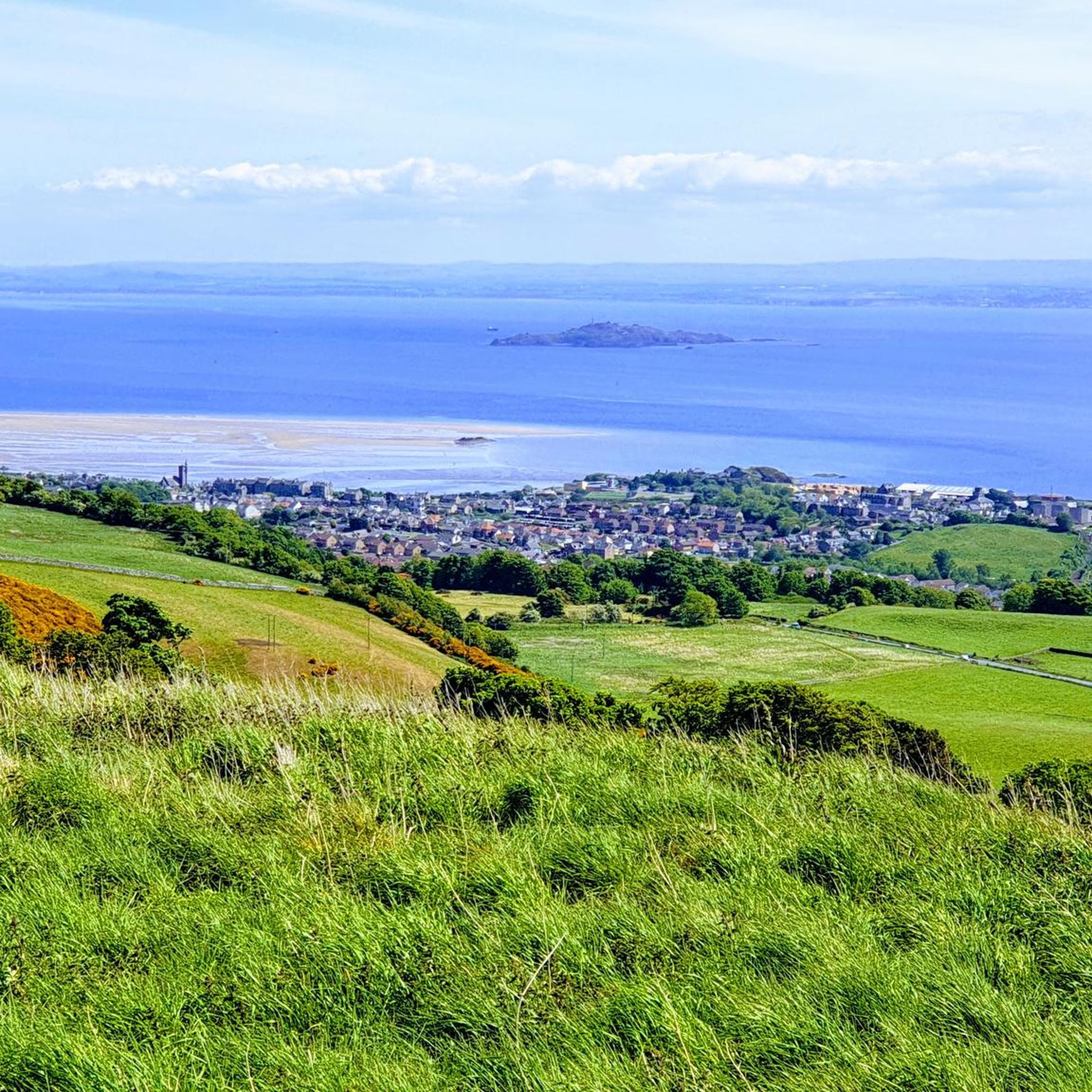
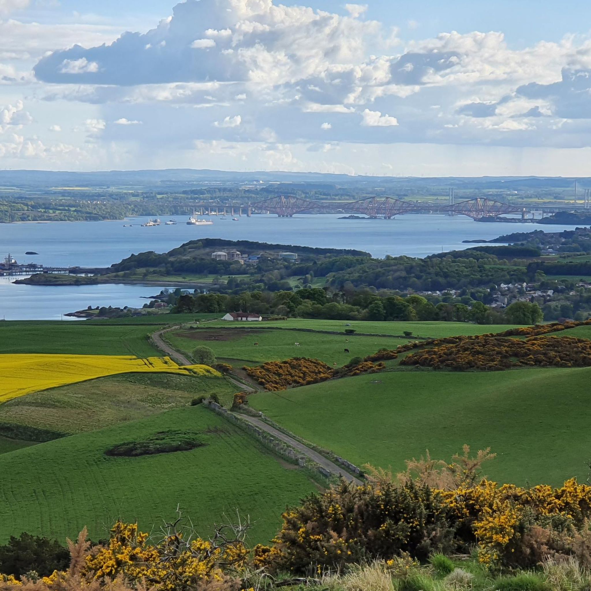
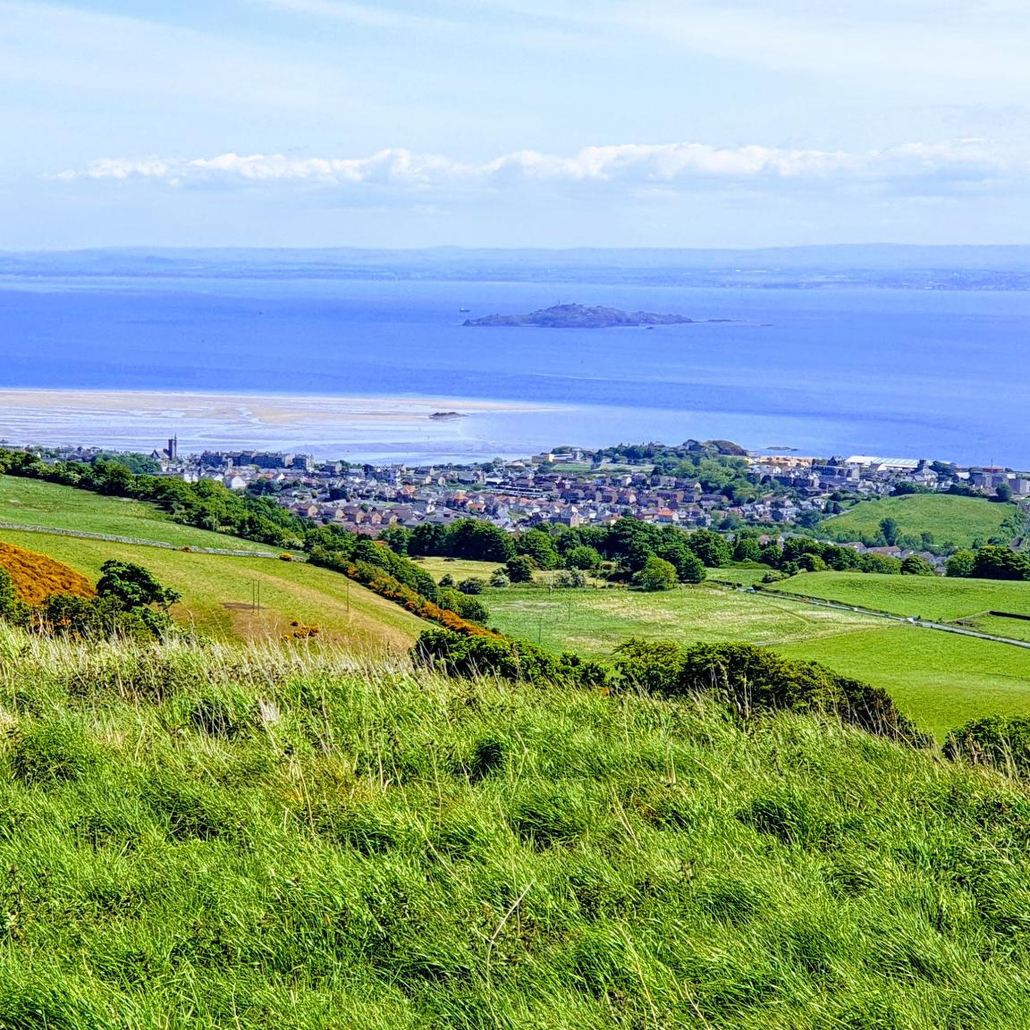
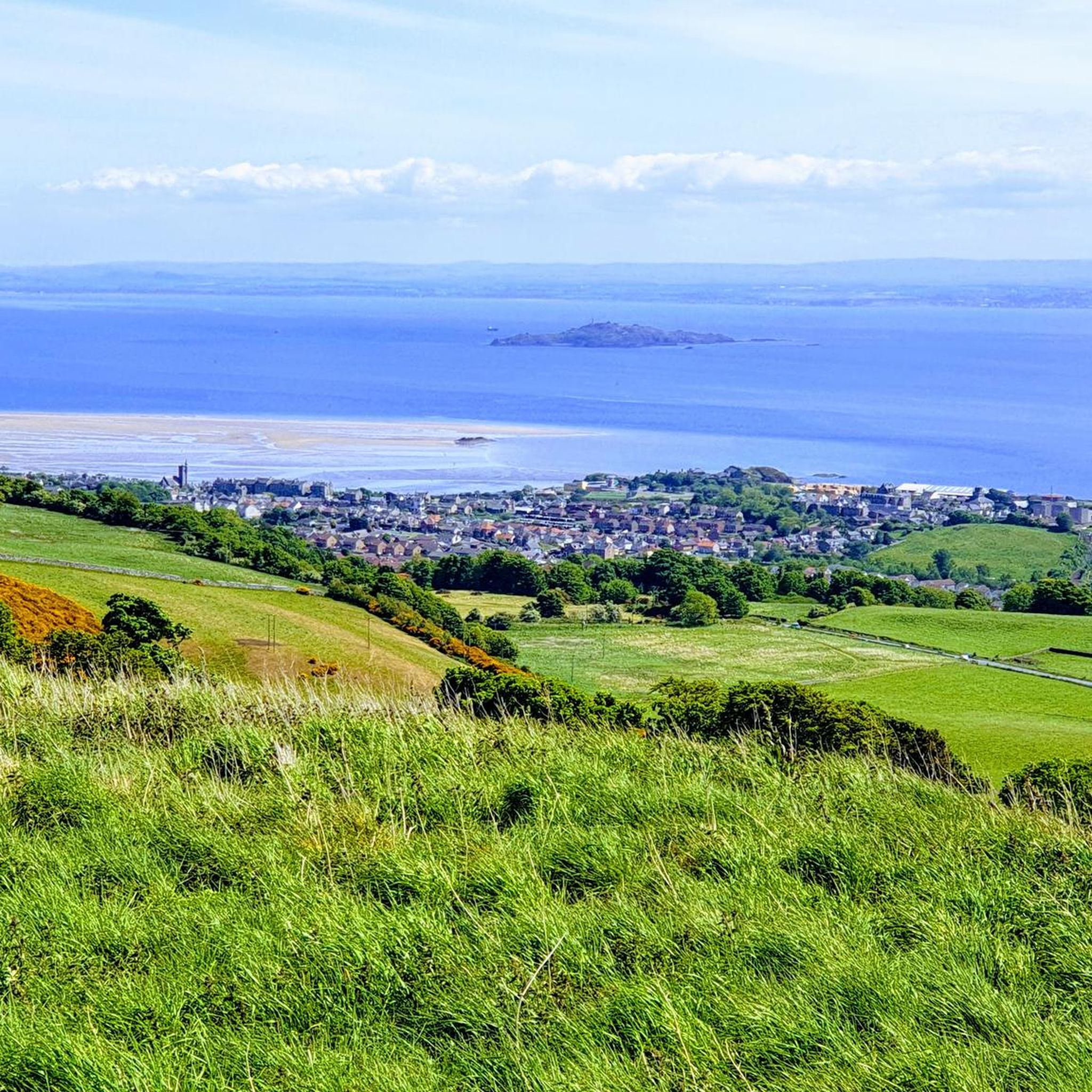
The summit of The Binn, a 193-meter-high extinct volcano, offers some of the most impressive panoramic views in the area. From the top, you can see across the Firth of Forth towards Edinburgh, look over the town of Burntisland itself, and take in the surrounding Fife coastline. It's a rewarding viewpoint that showcases the region's unique landscape.
Are there any easy, family-friendly hikes near Burntisland?
Certainly. The area has several trails suitable for a family outing. A great choice is the The Binn Cup and Ring Marks – The Binn Summit Viewpoint loop. While it involves an ascent, it's considered an easy walk at under 6 km and provides the excitement of reaching a summit with fantastic views, making it engaging for all ages.
Can I take my dog on the walking trails around Burntisland?
Yes, the walking trails around Burntisland are generally dog-friendly. The Fife Coastal Path and routes around Kinghorn Loch are popular with dog walkers. As always, it's best to keep your dog under control, especially near farmland or wildlife habitats like the coastal bird areas. The Cullaloe Local Nature Reserve is another spot locals enjoy for dog walking.
What is the terrain like on the Fife Coastal Path near Burntisland?
The section of the Fife Coastal Path around Burntisland is quite varied. You'll encounter well-maintained paths, some sandy stretches along beaches like Burntisland Beach and Silversands, and occasional rocky sections. The path is generally clear and offers fantastic sea views, passing through neighboring towns like Kinghorn and Aberdour.
Are there any challenging hikes in the Burntisland area?
While many trails are moderate, there are options for those seeking a challenge. For a longer and more strenuous day out, the Seals at Seafield Tower – View of Inchkeith Island loop is a difficult-rated hike of over 20 km. This route extends further along the coast, requiring more endurance and rewarding hikers with extensive coastal scenery.
How can I get to the hiking trails using public transport?
Burntisland is well-connected by train, making it easy to access the trails without a car. The train station is centrally located, providing a convenient starting point for many walks, including ascents of The Binn and sections of the Fife Coastal Path towards Kinghorn or Aberdour. Many circular routes begin and end right in town.
Where is the best place to park for a coastal walk?
For walks along the Fife Coastal Path, there is parking available near Burntisland Beach. This provides direct access to the path heading east towards Kinghorn or west towards Aberdour. Arriving early is recommended, especially on sunny weekends, as these spots can be popular with both hikers and beachgoers.
What do other hikers enjoy most about the trails in Burntisland?
The trails around Burntisland are highly regarded by the komoot community. Hikers frequently praise the stunning variety of scenery, from the wide-open sea views along the Fife Coastal Path to the panoramic vistas from the top of The Binn. The ability to combine a coastal walk with a hill climb in a single hike is a particularly celebrated feature of the area.
What kind of walk is the route between Burntisland and Aberdour?
The walk between Burntisland and Aberdour follows a scenic section of the Fife Coastal Path. It's a popular moderate hike that hugs the coastline, passing by Silversands Beach and offering beautiful views across the Firth of Forth. The Silversands Beach, Aberdour – Foreshore Near Carron Harbour loop is a great example of a route that covers this stretch.
How many hiking trails are there to choose from around Burntisland?
There are over 20 designated hiking routes to explore around Burntisland on komoot. These range from short, easy loops perfect for a quick outing to longer, more challenging coastal treks, ensuring there's a trail for every fitness level and interest.
Most popular routes around Burntisland
Most popular attractions around Burntisland

Get inspired with the komoot mobile app


Explore more
Browse the best Hikes in other regions.
