The best mountain hikes around Baldernock
7
hikers
3
hikes
Mountaineering routes near Baldernock traverse a landscape characterized by undulating hills, including the Kilpatrick Hills with Duncolm as their highest point at 401 meters. The area features several lochs, such as Craigallian Loch and Bardowie Loch, and transitions from rugged uplands to rolling foothills and lowlands. This diverse topography provides a variety of experiences for those exploring the region's historical ties to Scottish mountaineering.
Best mountaineering routes around Baldernock
- The most popular mountaineering route is Auchineden Hill Trig Point –…
Last updated: October 11, 2026
4
hikers
Easy mountaineering route. Great for any fitness level. Easily-accessible paths. Suitable for all skill levels.
2
hikers
11.3km
03:40
450m
450m
Moderate mountaineering route. Good fitness required. Easily-accessible paths. Suitable for all skill levels.

1
hikers
Moderate mountaineering route. Good fitness required. Easily-accessible paths. Suitable for all skill levels.
Our route recommendations are based on thousands of hikes, rides, and runs completed by other people on komoot.
Start today with a free account
Your next adventure awaits.
Tips from the Community

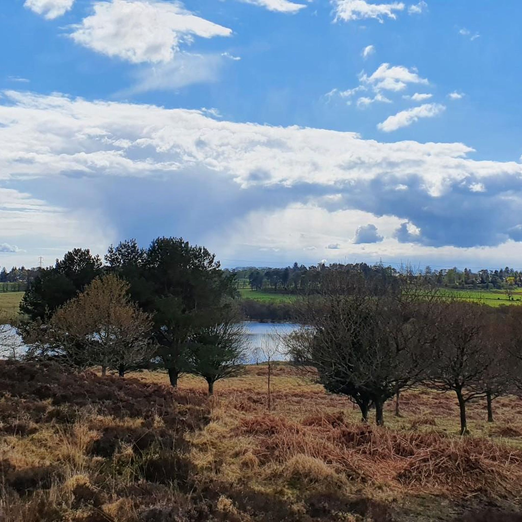
The Cort-ma-Law Summit is located in the Campsie Fells north of Glasgow. The ascent leads through open, partly boggy moorland and rewards with a wide panoramic view over the rolling hills and valleys of the surrounding area. In clear weather, the view extends far beyond the Central Lowlands and up to the distinctive mountains of the Highlands.
0
0

Nice view at the top, the decent is not too hard. Keep in mind that when it has rained recently the ground will be muddy.
2
0
Fun little hike, doable with kids and dogs. If you like free climbing you can also climb a bit in the rocks, but ofcourse be carefull with that.
1
0

Great wee walk and easy for first timers.
0
0


Great view from the northern slopes of Auchineden Hill out over Loch Lomond to the Highlands beyond.
0
0

Treacherous road surface and lots of traffic on the Weekends. But the view is definitely worth it - especially if approaching from the South
0
0

There must be some sort of metal below ground as my two compasses were off!
0
0
Frequently Asked Questions
How many mountaineering routes are available around Baldernock?
There are several mountaineering routes around Baldernock, with komoot featuring over 3 carefully curated tours. These routes offer a range of experiences, from easy strolls to more moderate hillwalking challenges.
Are there any easy mountaineering routes suitable for beginners?
Yes, Baldernock offers easy routes perfect for those new to mountaineering or looking for a less strenuous walk. An excellent option is the Auchineden Hill Trig Point – The Whangie Rock Formation loop from Queen's View, which is an easy 3.0-mile (4.7 km) trail featuring a distinctive rock formation and scenic viewpoints.
What kind of terrain can I expect on mountaineering routes in Baldernock?
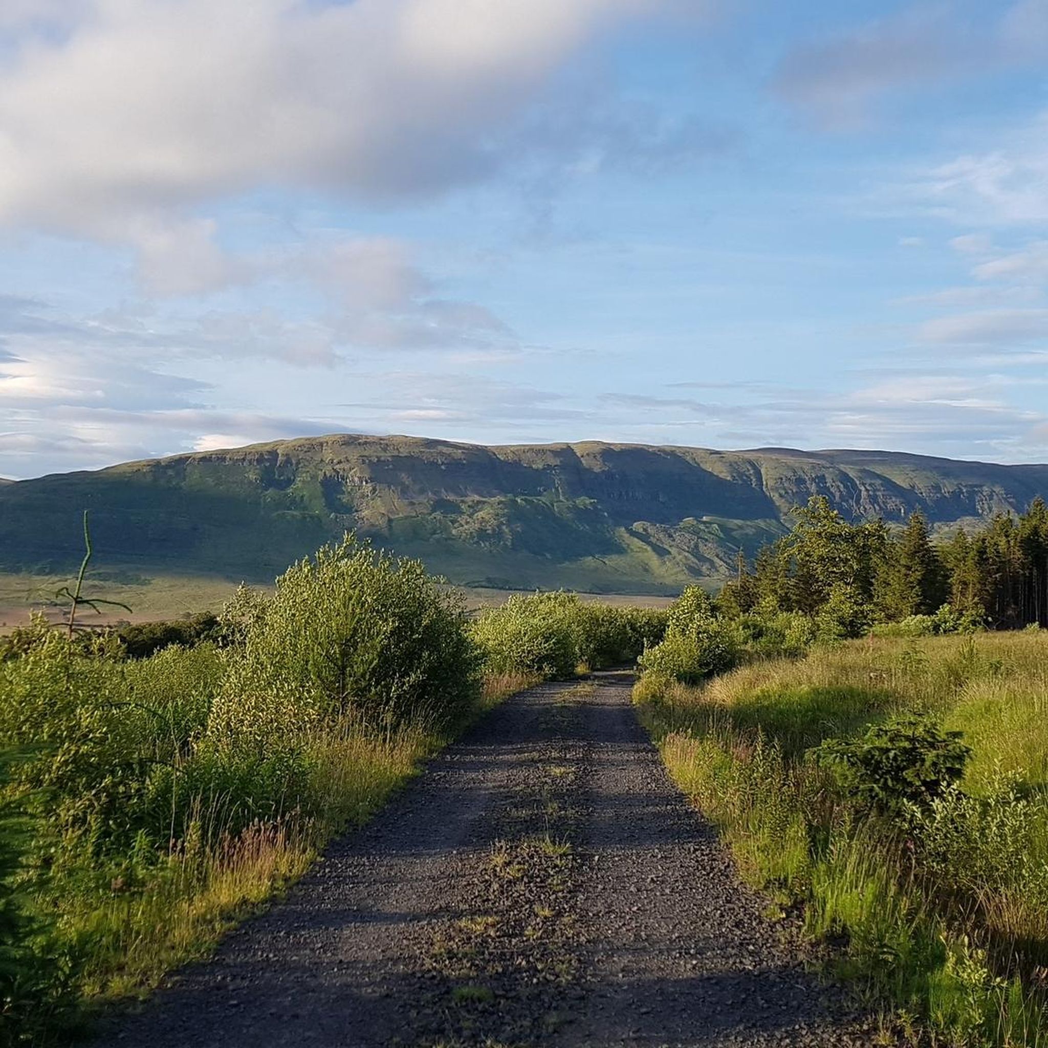
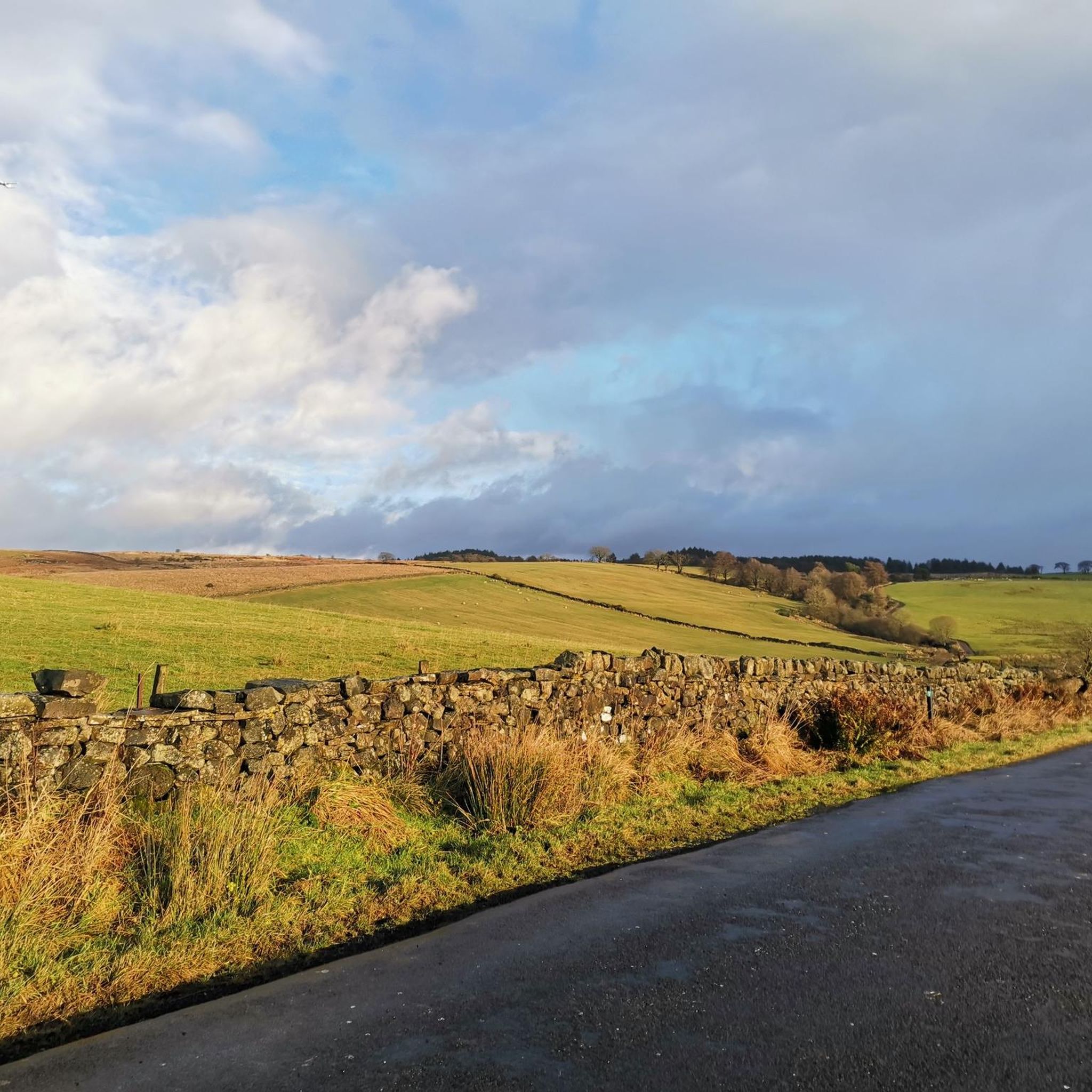
The landscape around Baldernock is quite varied, transitioning from the rugged uplands of the Campsie Fells to the north and east, through rolling foothills, and down to the lowlands of the Kelvin Valley. You'll encounter undulating hills, some paved sections, and potentially uneven or muddy paths, especially from Easter Blairskaith to Baldernock Lynn.
Are there any circular routes for mountaineering in Baldernock?
Yes, many of the routes in Baldernock are designed as loops, allowing you to start and finish at the same point. For example, the Crichton's Cairn – View of Glasgow from Crow Road loop from Lennoxtown is a moderate circular path offering expansive views towards Glasgow.
What historical or natural landmarks can I see along the routes?
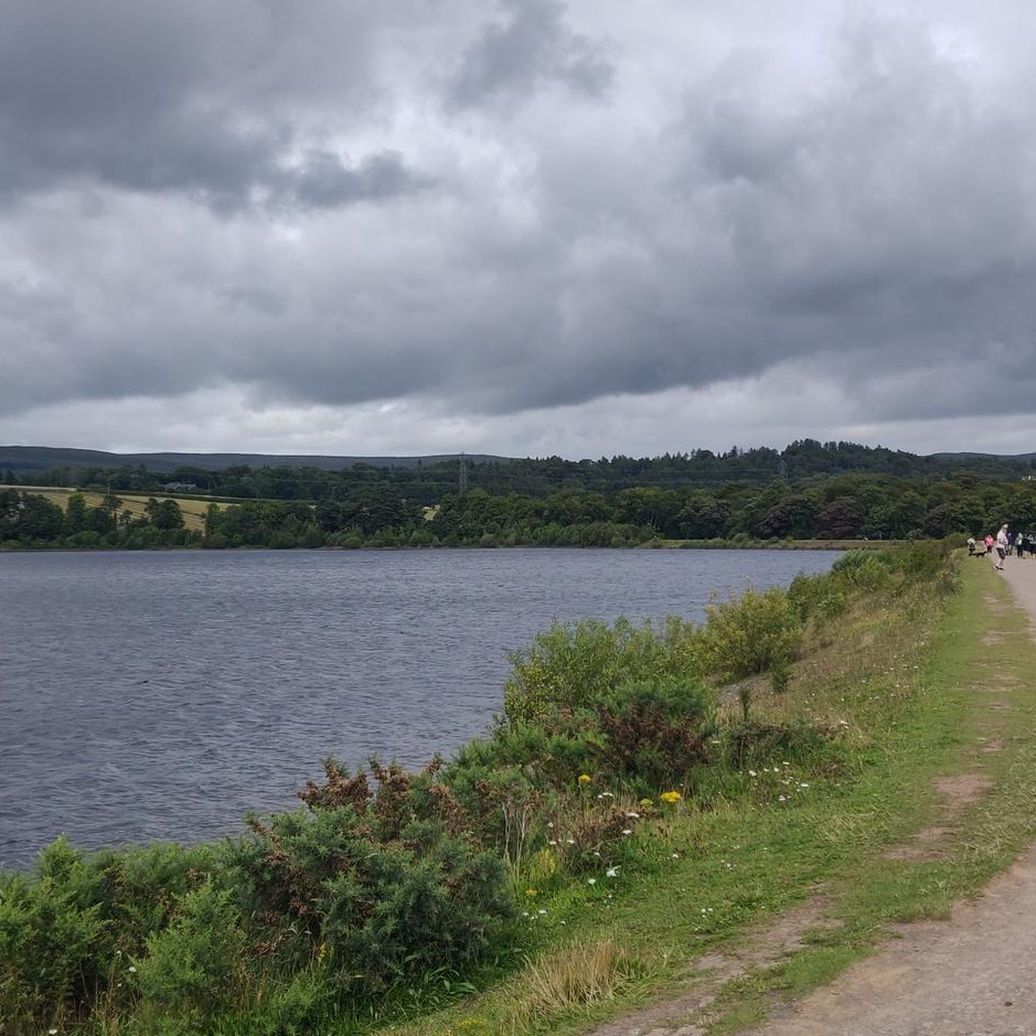
Baldernock is rich in history and natural beauty. You can explore the fascinating The Whangie Rock Formation, or visit Craigallian Loch, which holds significant historical importance for Scottish mountaineering. The area also features the Linn Caves and waterfalls, showcasing geological past and historical lime extraction.
Are there any routes with good viewpoints?
Absolutely! Many routes offer stunning vistas. The View of Glasgow from Crow Road – Crichton's Cairn loop from Muckle Alicompen is known for its panoramic views, including expansive sights towards Glasgow. You can also find excellent viewpoints like Cort-ma-Law Summit and Duncolm Summit in the nearby Kilpatrick Hills.
Is Baldernock suitable for family-friendly walks?
While some routes involve uneven terrain, many sections of the Baldernock Trail and other local paths are suitable for families. The diverse topography means you can find easier, shorter walks, especially around the lochs, that are enjoyable for all ages. Always check the route details for specific difficulty and length.
Can I bring my dog on the mountaineering routes?
Yes, Baldernock's outdoor spaces are generally dog-friendly. However, it's essential to adhere to the Scottish Outdoor Access Code, which advises keeping dogs under close control, especially near livestock or during ground-nesting bird seasons. Always clean up after your dog to preserve the natural environment.
Where can I find parking for the trailheads?
Parking availability varies by trailhead. Many popular starting points for walks in the Baldernock area, particularly those leading into the Kilpatrick Hills or towards specific attractions, often have designated parking areas or roadside parking options. It's advisable to check specific route descriptions on komoot for detailed parking information.
Is it possible to reach the trailheads using public transport?
Public transport options to Baldernock trailheads exist, though they might require some planning. Local bus services connect surrounding towns and villages, which may provide access points to some of the routes. For specific public transport details, it's best to consult local transport schedules or the komoot route planner for directions to your chosen starting point.
What is the best time of year to go mountaineering in Baldernock?
Baldernock can be enjoyed year-round, but spring and autumn often offer the most pleasant conditions with milder temperatures and beautiful scenery. Summer is also popular, though paths can be busier. Winter mountaineering is possible but requires appropriate gear and caution due to potentially muddy or icy conditions on higher ground.
What makes Baldernock historically significant for mountaineering?
Baldernock holds a unique place in Scottish mountaineering history, particularly due to the 'Craigallian Fire' at Craigallian Loch. This legendary gathering spot in the 1930s was crucial in fostering local climbing communities and led to the founding of influential mountaineering clubs, playing a significant role in opening up Scotland to the sport.
Most popular attractions around Baldernock

Get inspired with the komoot mobile app


Explore more
Browse the best Mountain Hikes & Routes in other regions.
