The best walks and hikes around Baldernock
4.4
(771)
11,066
hikers
561
hikes
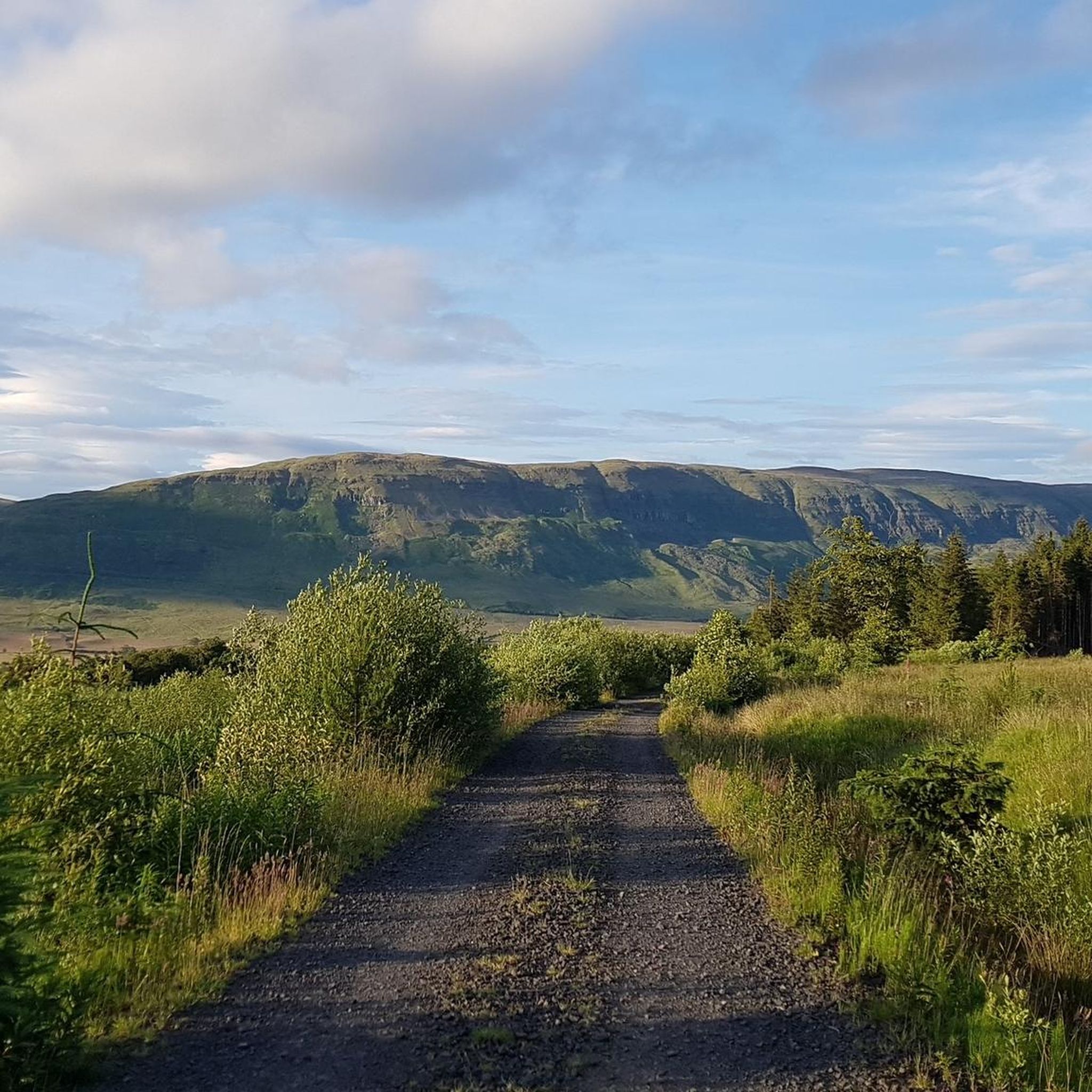
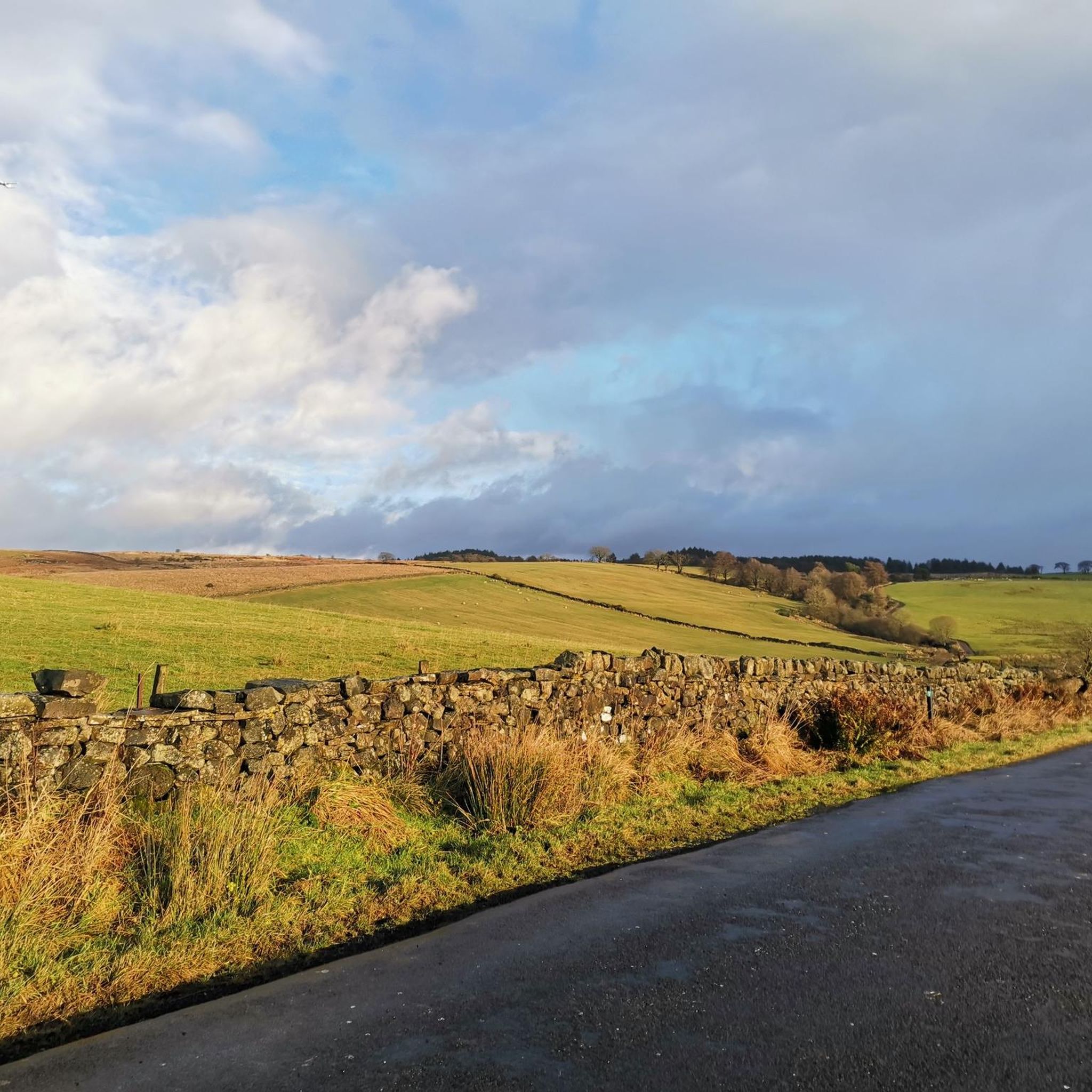
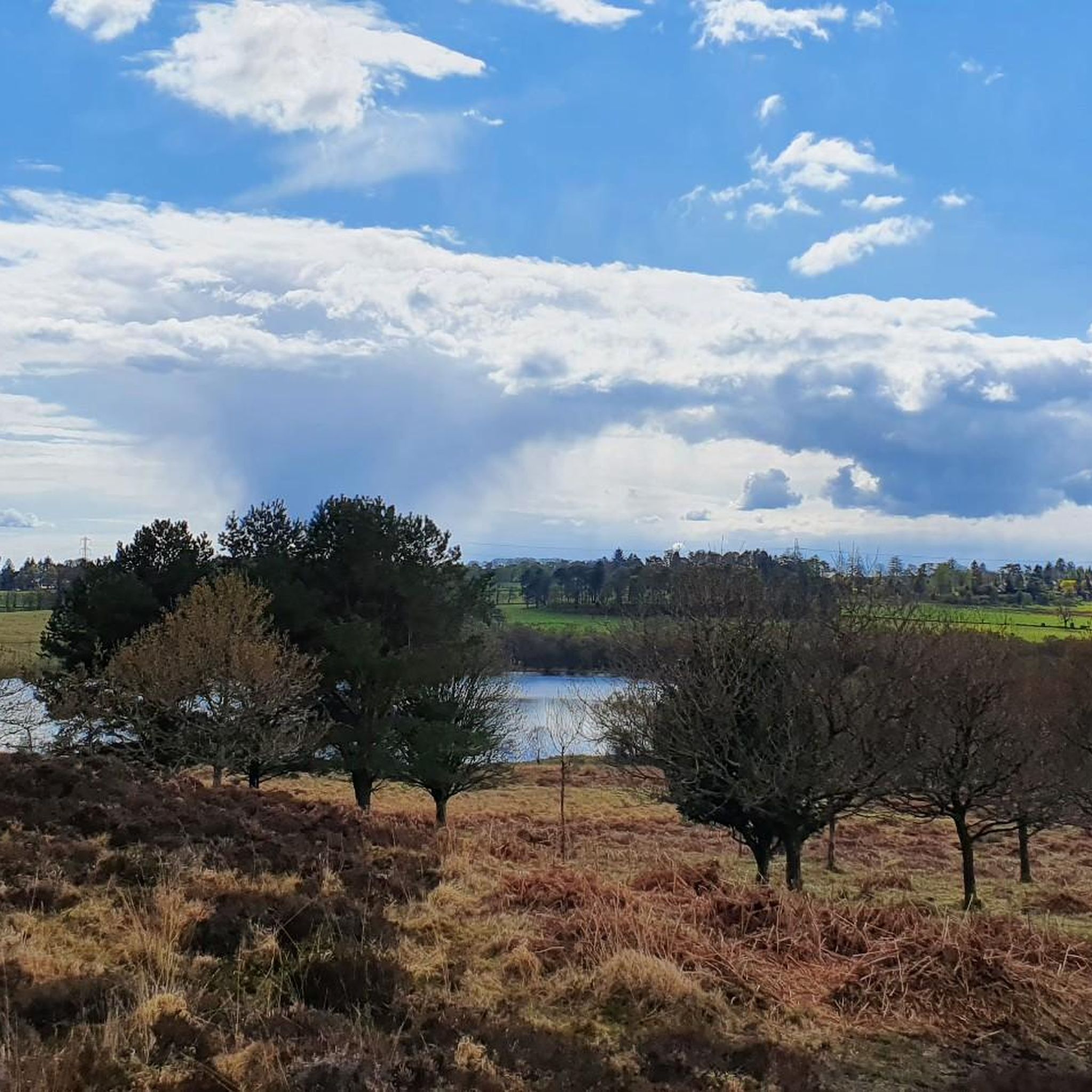
Hikes around Baldernock explore a landscape of rolling hills, serene lochs, and mixed woodland. The area features a network of trails that pass by historic sites and offer views toward the Campsie Fells. The terrain is generally characterized by gentle ascents and well-defined paths through forests and across moors like Craigmaddie Muir.
Best hiking trails around Baldernock
- The most popular hiking route is Blairskaith Muir Summit – Lennox Forest Car Park loop from Linn Cave, a 4.5 mile (7.2…
Last updated: June 22, 2026
4.5
(4)
115
hikers
Easy hike. Great for any fitness level. Easily-accessible paths. Suitable for all skill levels.
5.0
(1)
36
hikers
2.35km
00:36
10m
10m
Easy hike. Great for any fitness level. Easily-accessible paths. Suitable for all skill levels.

Sign up for free
4.5
(6)
227
hikers
6.21km
01:38
60m
60m
Easy hike. Great for any fitness level. Easily-accessible paths. Suitable for all skill levels.
12
hikers
Easy hike. Great for any fitness level. Easily-accessible paths. Suitable for all skill levels.
9
hikers
7.19km
01:58
110m
110m
Easy hike. Great for any fitness level. Easily-accessible paths. Suitable for all skill levels.
Get access to more routes and recommendations from other explorers.
Sign up for free
Already have an account?
Our route recommendations are based on thousands of hikes, rides, and runs completed by other people on komoot.
Start today with a free account
Your next adventure awaits.
Login or Signup
Tips from the Community

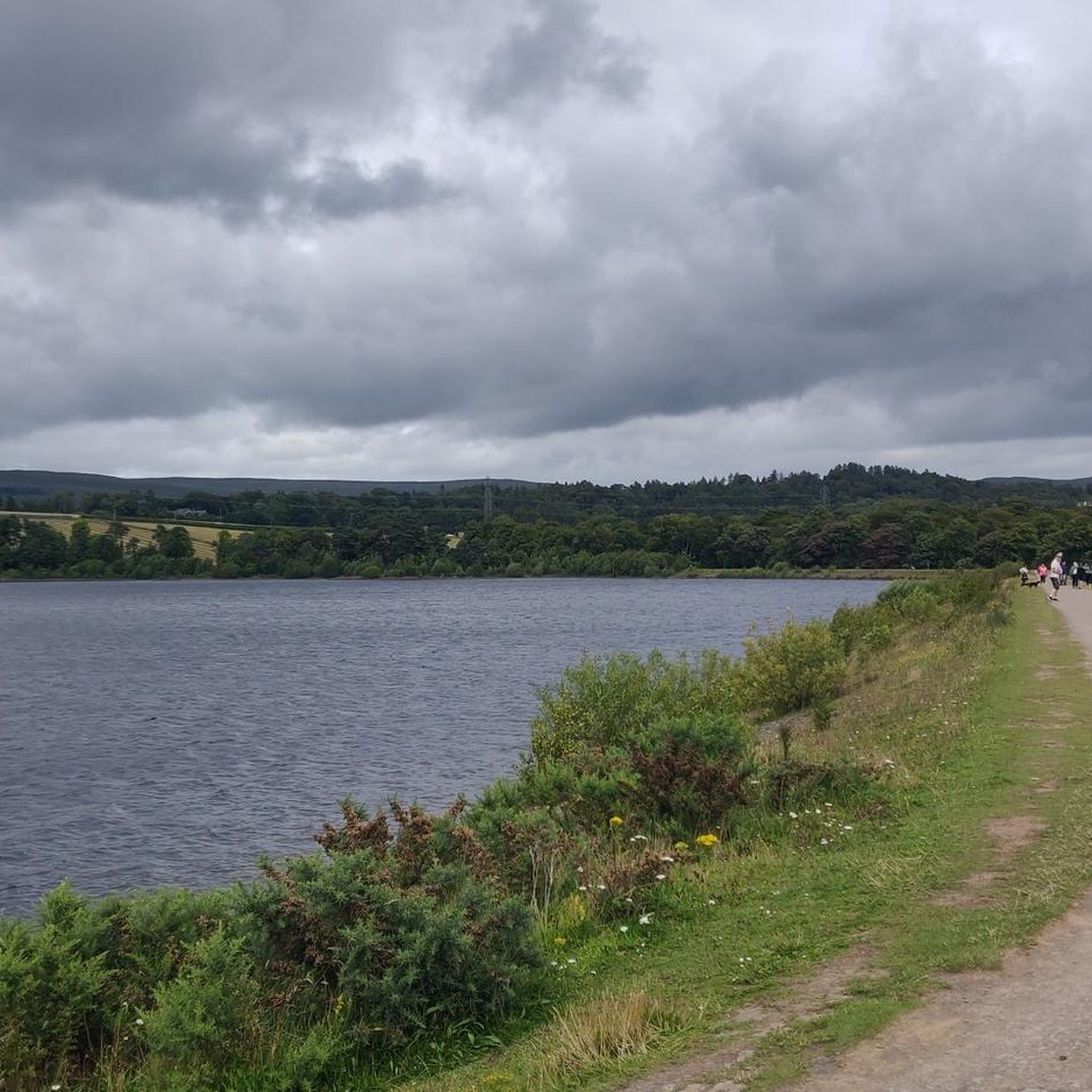
The final point of the Katrine Aqueducts as the water travels from The Trossachs to Milngavie to serve drinking water to the people of Glasgow. Built in the late 1800's, these reservoirs are a beautiful spot for a walk or cycle with good tracks following the perimeter.
1
0


I'll bet it's pretty shin bashing stuff in the summer, but it's a super fun single track along a lovely bit of a river!
1
0

Rewarding view after some boggy bits.
0
0

A summit with trig point easily accessible through a sheep gate by the main path. Start of path can be very boggy!
0
0
A beautiful piece of Victorian architecture, these basins are still used to measure and control the reservoir’s levels.
0
0
Two large reservoirs supplying Glasgow with fresh water. Lovely area for a walk with stunning views over Glasgow.
0
0
Frequently Asked Questions
Are there many walking trails to choose from around Baldernock?
Yes, there are over 580 routes to explore in the Baldernock area. The network includes everything from gentle woodland paths to more challenging ascents across moors, catering to various fitness levels.
Are there any family-friendly hikes near Baldernock?
The area is well-suited for families. For an easy walk with rewarding scenery, consider the Milngavie Reservoirs – Craigendinnie Measuring Pond loop from Milngavie. It's a relatively short and flat trail that's great for all ages.
Can I take my dog on the trails?
Most trails around Baldernock are dog-friendly, offering plenty of space for them to explore. However, you may encounter livestock on routes crossing farmland, so it's important to keep your dog on a lead in these areas. The woodland paths in Lennox Forest are particularly popular with dog walkers.
How do I get to the Blairskaith Waterfall and Linn Caves?
The Blairskaith Waterfall and the historic Linn Caves are a major highlight of the region. You can reach them via trails starting near Lennox Forest. A good option is the Lennox Forest Car Park – Blairskaith Muir Summit loop from Clachan of Campsie, which passes close to these features. The path allows you to walk behind the waterfall.
What do other hikers think of the routes in Baldernock?
The trails are highly rated by the komoot community, with an average score of 4.4 stars. Hikers often praise the mix of scenery, from serene lochs and woodland to the open moorland of Craigmaddie Muir, as well as the interesting historical sites scattered along the paths.
Is it possible to get to the hiking trails using public transport from Glasgow?
Yes, you can reach the area by public transport. Several bus services run from Glasgow to nearby towns like Milngavie and Strathblane, which serve as excellent starting points for many trails. Milngavie, in particular, is a major transport hub and the official start of the West Highland Way.
Where can I park for walks around Baldernock?
There are several informal and official parking spots. The Lennox Forest car park is a convenient starting point for trails heading to Blairskaith Muir and the waterfall. You can also find parking in Milngavie for reservoir walks or near Baldernock Parish Church for the Baldernock Trail.
Are there any circular walks available?
Many of the most popular routes in the area are circular, allowing you to start and finish in the same place without retracing your steps. The trails around the Milngavie Reservoirs and the loops through Lennox Forest are excellent examples of enjoyable circular hikes.
What historical sites can I see while hiking?
The region is rich in history. Many trails pass by significant landmarks, including the Baldernock Parish Church, the mysterious 'Auld Wives' Lifts' standing stones, and the remnants of 19th-century lime kilns and mills. The Linn Caves are also a fascinating relic of the area's limestone mining past.
Are there any pubs or cafes for after a hike?
Yes, the nearby towns of Milngavie and Strathblane have a good selection of pubs, cafes, and restaurants where you can relax after your walk. They offer a welcoming atmosphere for hikers looking for refreshments.
What kind of views can I expect on the trails?
The trails offer a variety of scenic views. From the higher points on Craigmaddie and Blairskaith Muir, you can enjoy panoramic vistas towards the Campsie Fells. Other routes provide serene views across lochs like Bardowie Loch and Loch Ardinning.
Most popular attractions around Baldernock

Get inspired with the komoot mobile app


Explore more
Browse the best Hikes in other regions.
