The best walks and hikes around Muirhouse/Salvesen
4.6
(2054)
30,712
hikers
12
hikes
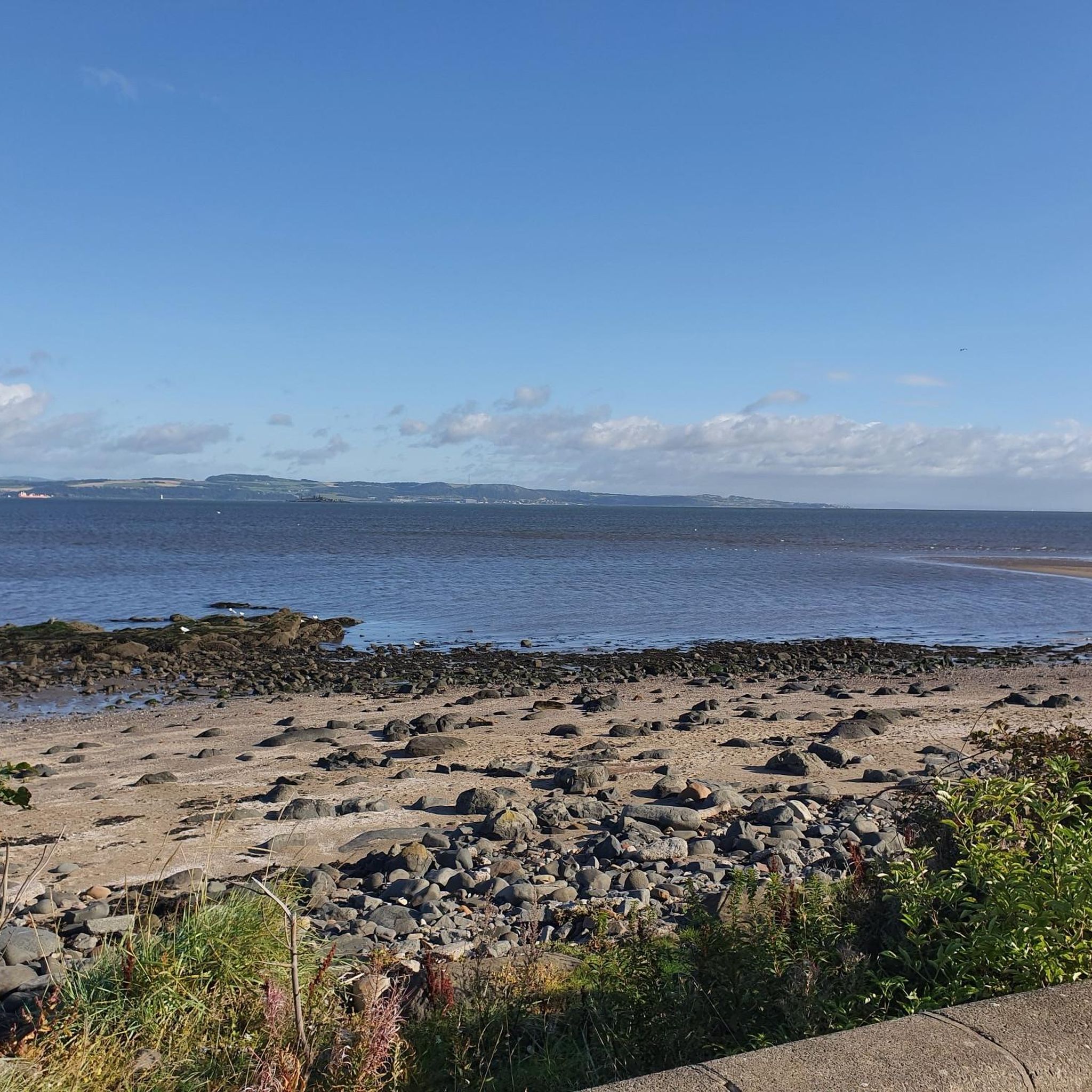
Hiking around Muirhouse/Salvesen primarily involves exploring the coastal areas along the Firth of Forth. This region, a residential part of Edinburgh, provides access to various coastal paths, beaches, and harbour areas. The terrain is generally flat with minimal elevation changes, characterized by urban coastal landscapes and views across the water.
Best hiking trails around Muirhouse/Salvesen
- The most popular hiking route is Silverknowes Beach – Cramond Bistro loop from Muirhouse, a 3.3 miles (5.3 km) trail that takes 1 hour…
Last updated: July 5, 2026
5.0
(1)
77
hikers
7.27km
01:54
50m
50m
Easy hike. Great for any fitness level. Easily-accessible paths. Suitable for all skill levels.
4.3
(3)
32
hikers
11.1km
02:56
100m
100m
Moderate hike. Good fitness required. Easily-accessible paths. Suitable for all skill levels.

Sign up for free
4.7
(3)
24
hikers
14.2km
03:46
140m
140m
Moderate hike. Good fitness required. Easily-accessible paths. Suitable for all skill levels.
5.0
(1)
23
hikers
Moderate hike. Good fitness required. Easily-accessible paths. Suitable for all skill levels.
3.0
(1)
21
hikers
4.64km
01:13
40m
40m
Easy hike. Great for any fitness level. Easily-accessible paths. Suitable for all skill levels.
Get access to more routes and recommendations from other explorers.
Sign up for free
Already have an account?
Our route recommendations are based on thousands of hikes, rides, and runs completed by other people on komoot.
Start today with a free account
Your next adventure awaits.
Login or Signup
Tips from the Community

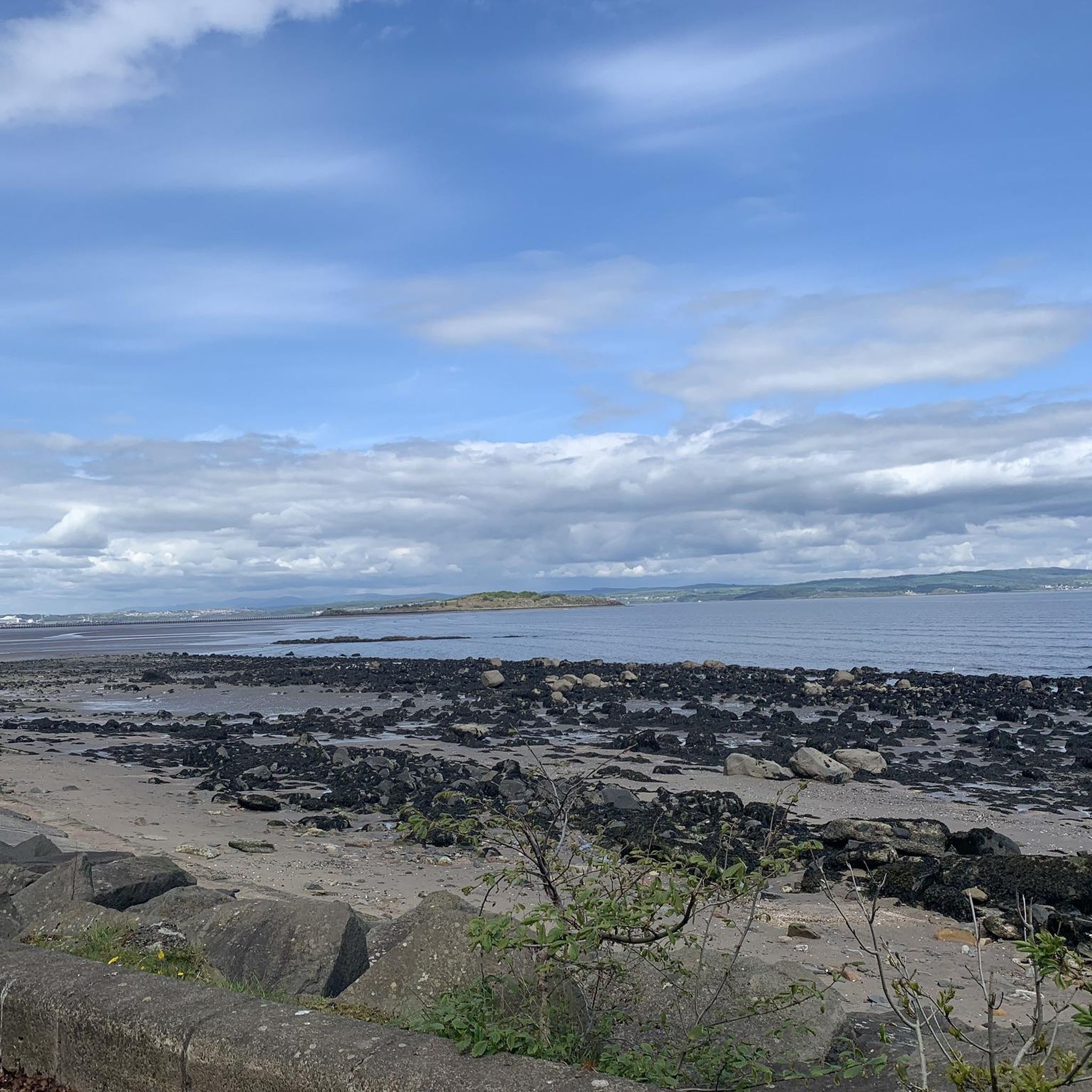
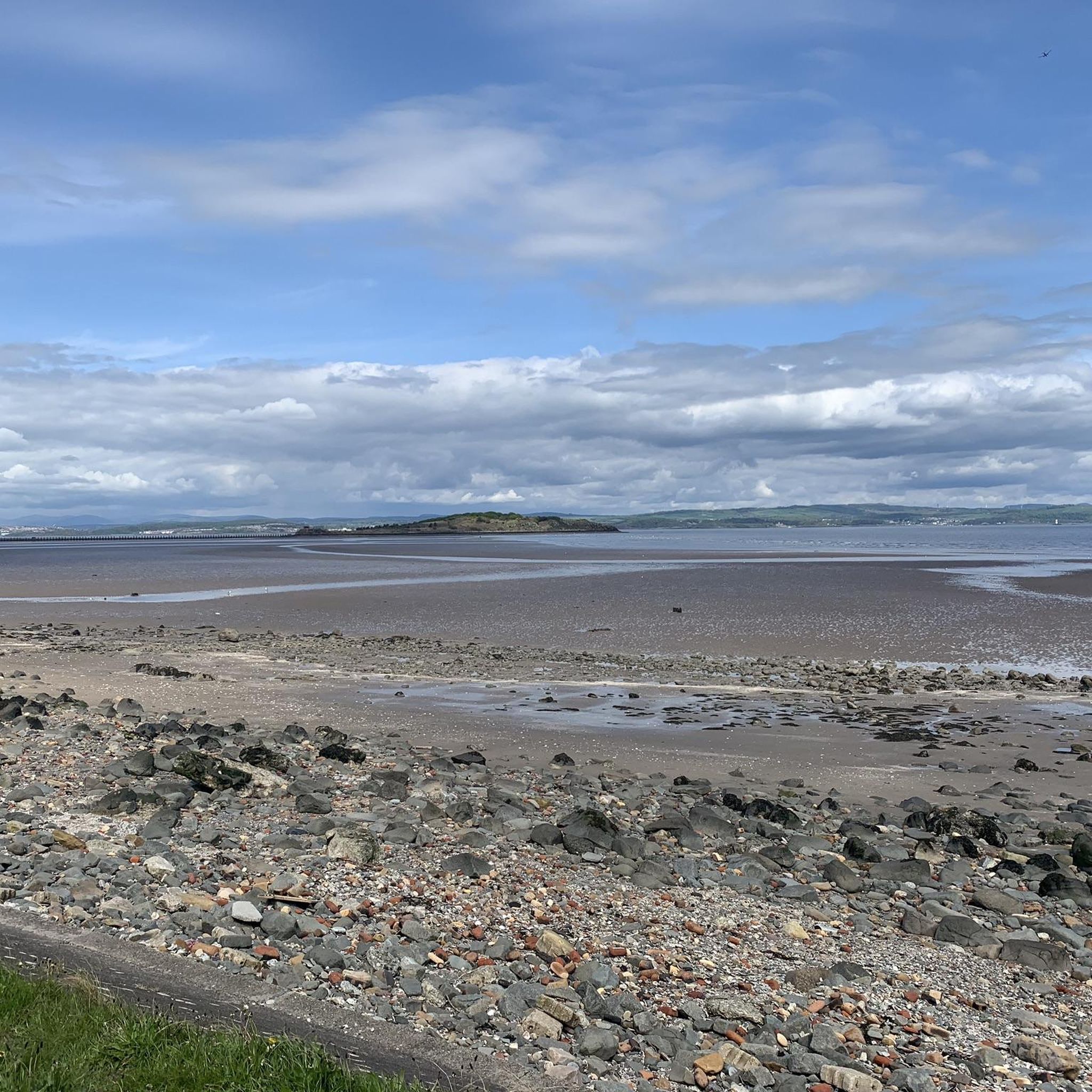
At low tide, you can walk over to the island. Relaxing short hike along the sea wall.
1
0

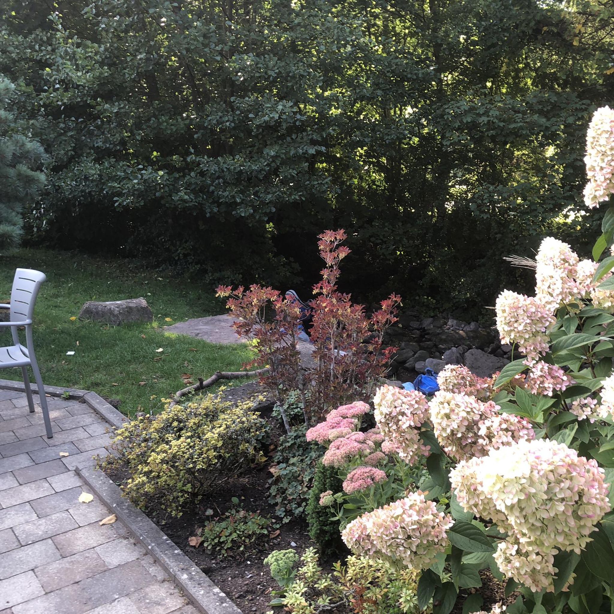
Best photographed from above the waterfall side by the bench
0
1


nice little harbor, with some nice restaurants.
0
0
It is worth walking over to the island. Just be aware of the tides
1
0

Excellent spot for weekly 5k park run with brilliant scenic views! This takes place every Saturday at 09.30am with around 400-500 in attendance and a great full lap of the promenade covered.
2
0

Silverknowes Esplanade is a 5km promenade which stretches from Granton to Cramond village. The views across to Fife and towards the Forth Bridges are fantastic and well worth the effort.
1
0

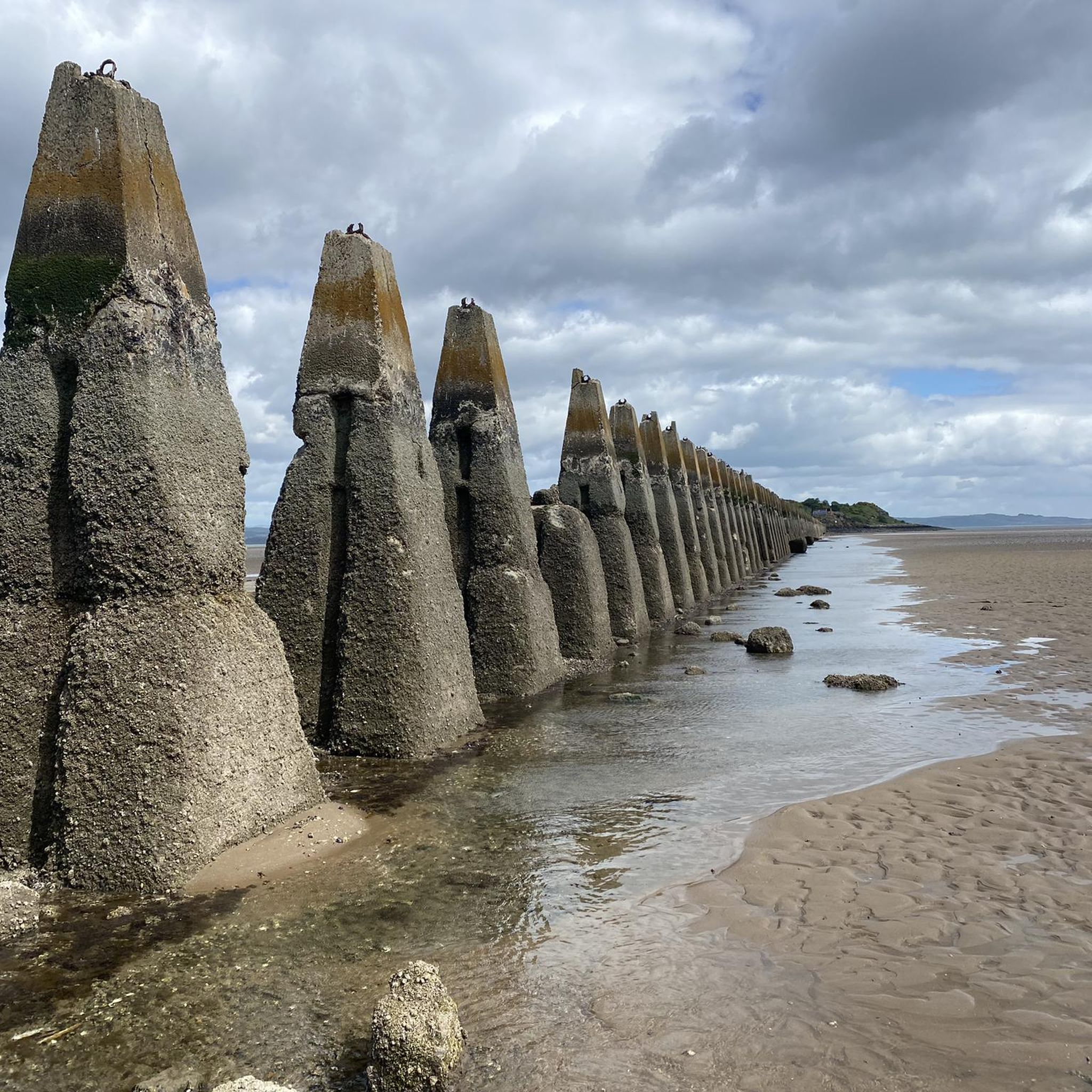
Cramond Island is a deserted island with a few ruins and bunkers from the Second World War. At low tide, the island can be reached over a narrow and low concrete causeway in a four-hour window, two hours before and two hours after low tide. The path is about 1.6 kilometres (one mile) long and passes concrete piers dating from the Second World War, built to protect against torpedoes and ships. The times when the path to the island is open are posted at the start of the path and are also published on the internet: https://queensferrylifeboat.co.uk/cramond-tides At high tide, the water rises so high that you can only leave the island by swimming or waiting up to eight hours for the causeway to be open again. If you do decide to swim, be aware of the current, the low water temperature and the relatively long distance.
7
3
Frequently Asked Questions
How many hiking trails are available around Muirhouse/Salvesen?
There are over 10 hiking routes available around Muirhouse/Salvesen. These trails primarily explore the coastal areas along the Firth of Forth, offering urban coastal landscapes and views across the water.
What are the typical difficulty levels for hikes in this area?
The hiking trails around Muirhouse/Salvesen are generally easy to moderate. You'll find 3 easy routes and 9 moderate routes, making the area accessible for various fitness levels. There are no difficult routes listed directly within Muirhouse/Salvesen.
Are there any circular walks available?
Yes, many of the routes around Muirhouse/Salvesen are circular. For example, the Silverknowes Beach – Cramond Bistro loop from Muirhouse is an easy 3.3-mile loop, and the Granton Harbour and Wardie Bay – Newhaven Harbour Lighthouse loop from Muirhouse offers a moderate 7.9-mile coastal experience.
What kind of terrain can I expect on these hikes?
The terrain around Muirhouse/Salvesen is generally flat with minimal elevation changes, characterized by urban coastal landscapes. You'll mostly be walking along coastal paths, beaches, and harbour areas, offering views of the Firth of Forth.
Are the hiking trails around Muirhouse/Salvesen suitable for families?
Yes, the easy and moderate coastal paths around Muirhouse/Salvesen are well-suited for families. Routes like the Silverknowes Beach – Cramond Bistro loop from Muirhouse are particularly family-friendly due to their manageable distance and flat terrain.
Can I bring my dog on these trails?
Many of the coastal paths and urban walks around Muirhouse/Salvesen are dog-friendly. It's always recommended to keep dogs on a lead, especially in populated areas or near wildlife, and to check local signage for any specific restrictions.
What interesting landmarks or attractions can I see while hiking?
While Muirhouse/Salvesen itself is residential, its proximity to Edinburgh offers access to notable landmarks. You can find attractions like Arthur's Seat, an extinct volcano offering panoramic views, or the historic St Giles' Cathedral in the city centre. Coastal routes provide views across the Firth of Forth.
What do other hikers enjoy most about hiking in Muirhouse/Salvesen?
The area is highly rated by the komoot community, with an average score of 4.6 stars from over 1400 reviews. Hikers often praise the accessible coastal paths, the views across the Firth of Forth, and the unique experience of walking to Cramond Island at low tide on routes like the Silverknowes Beach – Cramond Island Causeway loop from Muirhouse.
Are there options for longer hikes in the area?
Yes, if you're looking for a longer walk, the Silverknowes Beach – Cramond Brig loop from Muirhouse is a moderate 8.1-mile (13 km) path. This route extends further along the coast, offering more extensive views and a longer duration.
What is the best time of year to go hiking around Muirhouse/Salvesen?
Hiking around Muirhouse/Salvesen can be enjoyed year-round. However, spring and summer offer milder weather and longer daylight hours, which are ideal for coastal walks. Autumn provides pleasant temperatures and potentially dramatic skies over the Firth of Forth. Winter walks are also possible, but be prepared for colder, windier conditions, especially along the exposed coastline.
Is public transport available to access the trailheads?
As Muirhouse/Salvesen is a residential area within Edinburgh, it is well-served by public transport, including local bus routes. This makes many of the coastal trailheads easily accessible without a car. Specific bus routes will depend on your starting point and desired trailhead.
Are there any hidden gems or less-known walks to explore?
While the main routes are popular, exploring sections of the Drum Sands loop from Muirhouse can offer a quieter experience. Additionally, the wider Edinburgh area, easily accessible from Muirhouse/Salvesen, holds many hidden gems like tranquil sections of the Water of Leith Walkway or less-frequented paths within the Pentland Hills.
Most popular routes around Muirhouse/Salvesen
Most popular attractions around Muirhouse/Salvesen

Get inspired with the komoot mobile app


Explore more
Browse the best Hikes in other regions.
