The best walks and hikes in Shepherd River
5.0
(1)
44
hikers
3
hikes
Hiking in Shepherd River, located within Carroll County, offers a selection of trails through forested landscapes. The region features varied terrain with gentle ascents to hills and several loop options. These paths provide opportunities to explore the natural environment of the area.
Best hiking trails in Shepherd River
- The most popular hiking route is Foss Mountain Trail, a 0.9 mile (1.5 km) trail that takes 28 minutes to complete. This easy path features a gentle climb through woodland.
- Another…
Last updated: August 22, 2026
3
hikers
1.53km
00:29
60m
60m
Embark on an easy hike along the Foss Mountain Trail, a short 1.0-mile (1.5 km) route that offers a quick escape into nature. You will gain 211 feet (64 metres)…
2
hikers
7.17km
02:06
210m
210m
Moderate hike. Good fitness required. Easily-accessible paths. Suitable for all skill levels.

Sign up for free
7
hikers
4.21km
01:16
140m
140m
Easy hike. Great for any fitness level. Easily-accessible paths. Suitable for all skill levels.
697m
00:17
90m
0m
Mary's Mountain Trail offers an easy hiking experience, covering just 0.4 miles (0.7 km) with a gentle climb of 304 feet (93 metres) in about 17 minutes. As you hike,…
5.0
(1)
32
hikers
5.54km
02:01
340m
340m
Hike the moderate 3.4-mile Burnt Meadow Mountain Trail Loop, gaining 1124 feet for panoramic views of western Maine and the White Mountains.
Our route recommendations are based on thousands of hikes, rides, and runs completed by other people on komoot.
Start today with a free account
Your next adventure awaits.
Login or Signup
Popular around Shepherd River
Tips from the Community

At 958 feet, Peary Mountain is an uprising in a wide open area in southern Maine. You can see over to the Presidentials, back towards Pleasant Mountain, and out over Lovewell Pond. The trail to the top is steep and technical, giving this peak a real mountain-running feel.
0
0
At 1,575 feet, the North Peak of the Burnt Meadow Mountains is not the highest peak in the state, but it offers panoramic views and is well worth the challenge. You can run a loop trail that passes right over the top of the summit.
0
0

The North Peak of Burnt Meadow Mountains is a challenging summit with incredibly stunning panoramic views, worth the hike.
0
0

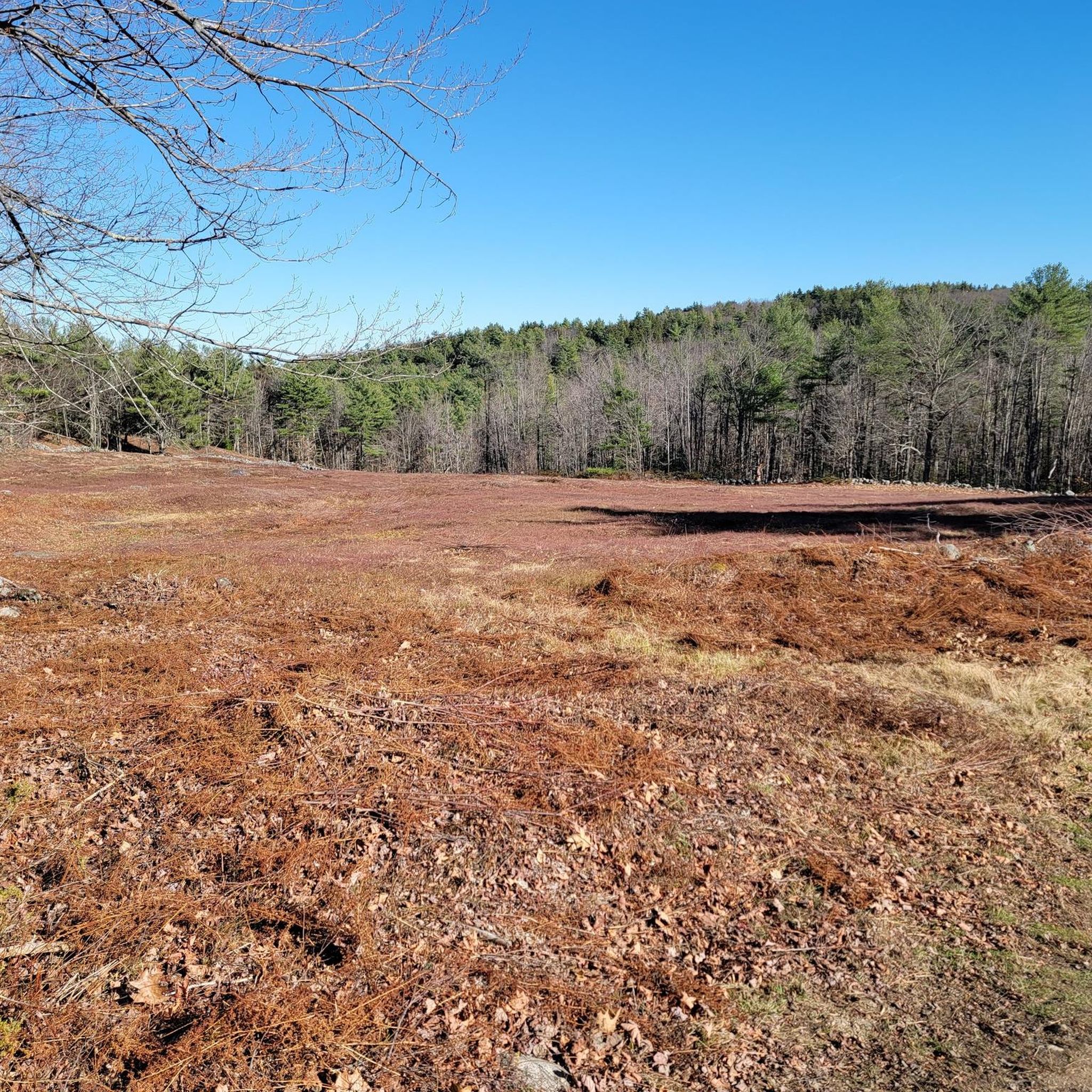
To reach Foss Mountain, near the town of Eaton, it only takes a short hike with little elevation gain from the nearby parking lot. Once you reach the top, you can enjoy beautiful views of the area.
0
0
Frequently Asked Questions
What kind of hiking trails can I expect in Shepherd River?
Shepherd River offers a selection of easy hiking trails, perfect for those looking for a relaxed outdoor experience. All three routes currently available are rated as easy, making them suitable for most fitness levels.
Are there any circular hiking routes in the Shepherd River area?
Yes, you can find circular routes in Shepherd River. For example, the Devils Den loop from Bald Ledge Summit offers a pleasant circular walk of approximately 6.7 km. Another option is the Peary Mountain loop from Peary Mountain, which is about 4.2 km long.
Are the hiking trails in Shepherd River suitable for families with children?
Absolutely. Given that all available trails in Shepherd River are rated as easy, they are generally well-suited for families looking to enjoy a day out in nature. Shorter options like the Foss Mountain Trail (around 1.5 km) or the Mary's Mountain Trail (under 1 km) are great for younger hikers.
What is the typical duration and distance for hikes in Shepherd River?
Hikes in Shepherd River vary in length and duration. You can find shorter walks like the Mary's Mountain Trail, which is less than 1 km and takes about 15-20 minutes, up to longer loops such as the Devils Den loop from Bald Ledge Summit, which is around 6.7 km and typically takes just under 2 hours.
What do other hikers say about the trails in Shepherd River?
The komoot community rates the hiking experience in Shepherd River highly, with an average score of 5.0 stars. Hikers often appreciate the accessible nature of the trails and the peaceful forest environment.
Are there any dog-friendly hiking trails in Shepherd River?
While specific restrictions can vary, many easy trails in natural areas are dog-friendly, especially if dogs are kept on a leash. It's always a good idea to check local signage at the trailhead, but generally, the gentle nature of Shepherd River's trails makes them suitable for walks with your canine companion.
What is the best season for hiking in Shepherd River?
Given the easy nature of the trails, Shepherd River is likely enjoyable for hiking across multiple seasons. Spring and autumn offer pleasant temperatures and beautiful foliage, while summer provides longer daylight hours. Winter hiking is possible, but always be prepared for colder conditions and potential snow or ice.
Are there any places to explore or points of interest along the trails?
The trails in Shepherd River offer opportunities to immerse yourself in the natural forest environment. While there are no specific highlights listed in the immediate vicinity of these routes, the focus is on enjoying the tranquility and scenery of the area itself.
Is parking available at the trailheads in Shepherd River?
Information on specific parking facilities for each trailhead is not always detailed in route descriptions. However, for most hiking areas, you can typically find designated parking lots or roadside parking near popular access points. It's advisable to check the starting point of your chosen route on a map for potential parking areas.
Are there any moderate or difficult hiking options in Shepherd River?
Currently, all the hiking routes listed for Shepherd River are rated as easy. If you are looking for a slightly more challenging option, the Burnt Meadow Mountain Trail Loop, located nearby, is rated as moderate and features a more significant elevation gain over its 5.5 km distance.
Most popular routes in Shepherd River

Get inspired with the komoot mobile app


Explore more
Browse the best Hikes in other regions.
