The best running trails in Buchbergriedel
4.6
(78)
996
runners
63
runs
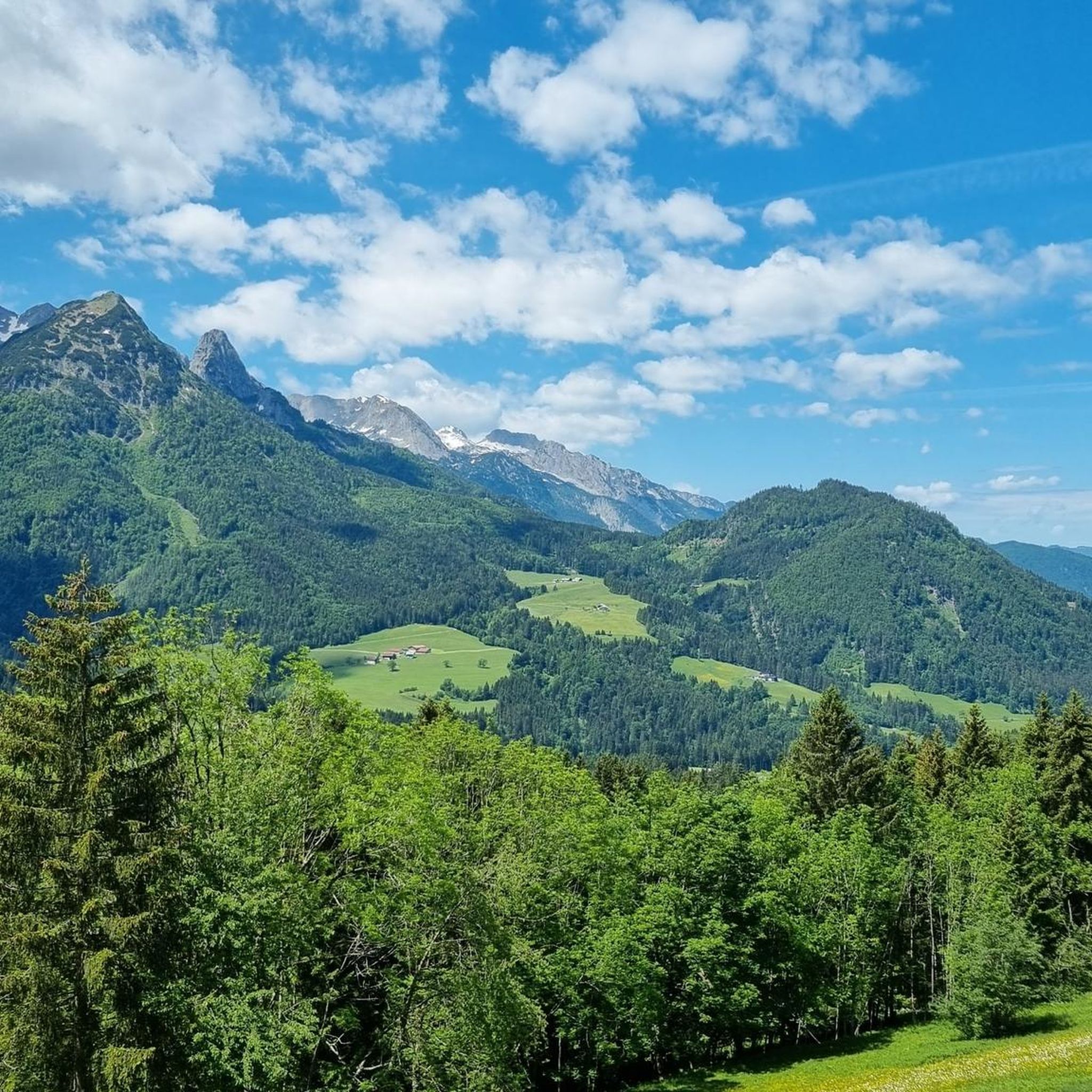
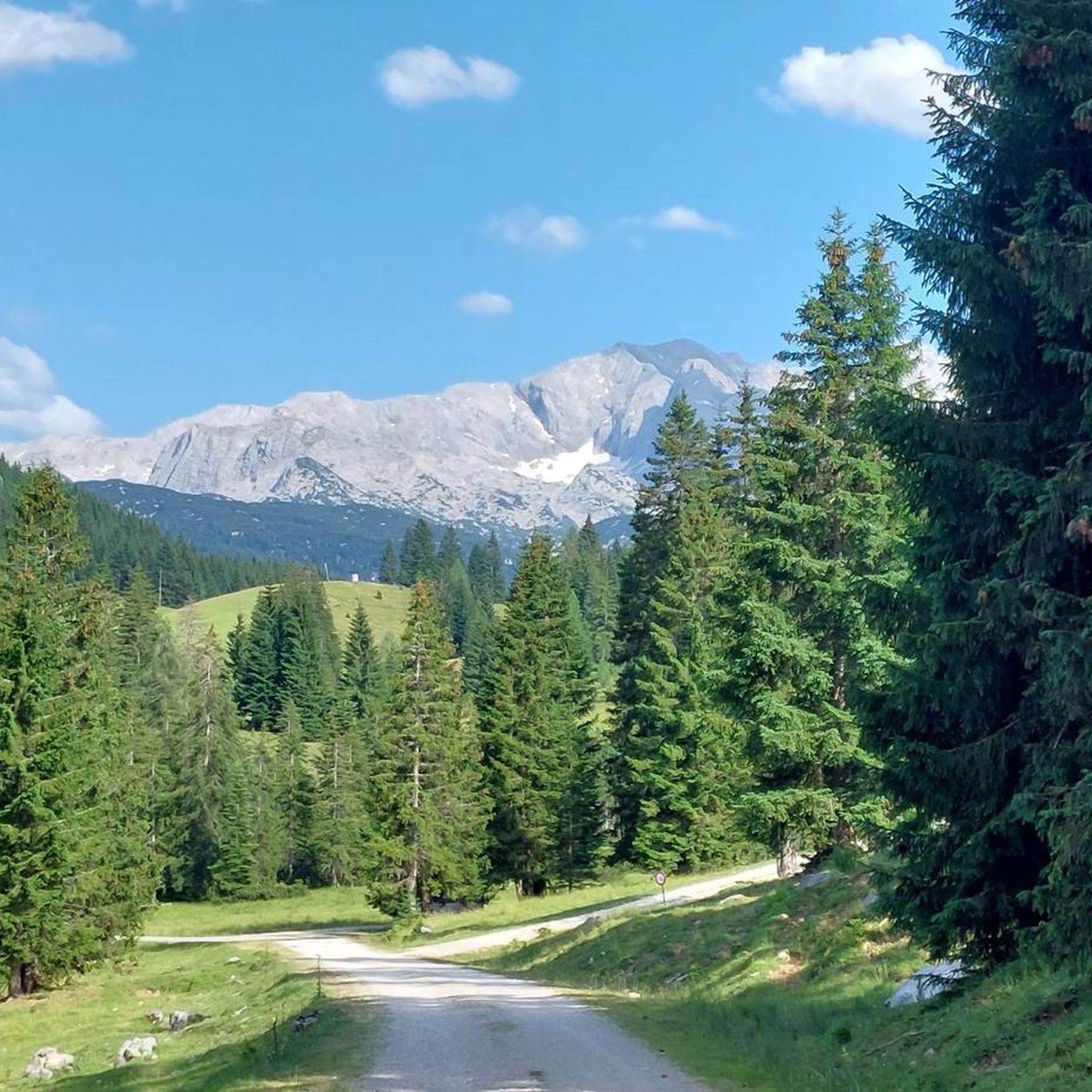
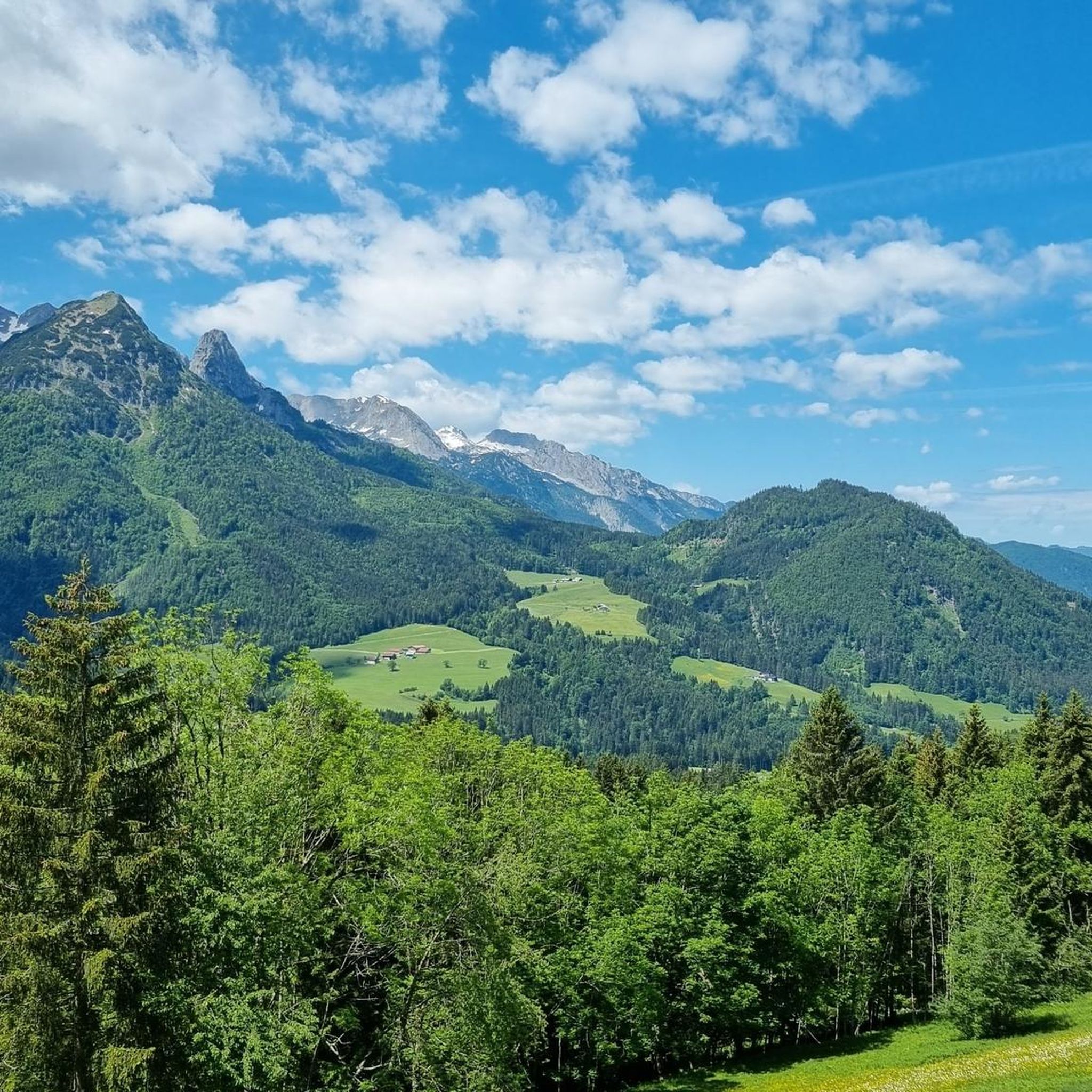
Jogging in Buchbergriedel offers diverse landscapes, characterized by gently rolling shapes and views of both the Alpine foothills and the rugged Limestone Alps. The region features a network of well-signposted trails through forests and open areas, providing varied terrain for running. Runners can expect to encounter colorful flower meadows and enjoy panoramic views of distant mountain peaks.
Best jogging routes in Buchbergriedel
- The most popular jogging route is View of the Dachstein loop from Schorn, a 4.2 miles (6.8…
Last updated: July 5, 2026
3
runners
6.81km
00:47
190m
190m
Moderate run. Good fitness required. Mostly paved surfaces. Suitable for all skill levels.
18
runners
5.70km
00:42
210m
210m
Moderate run. Good fitness required. Mostly paved surfaces. Suitable for all skill levels.

Sign up for free
5.0
(2)
23
runners
9.38km
01:05
250m
250m
Moderate run. Good fitness required. Mostly paved surfaces. Suitable for all skill levels.
5.0
(1)
13
runners
11.8km
01:22
370m
370m
Hard run. Very good fitness required. Mostly paved surfaces. Suitable for all skill levels.
14
runners
6.48km
00:47
220m
220m
Moderate run. Good fitness required. Mostly paved surfaces. Suitable for all skill levels.
Get access to more routes and recommendations from other explorers.
Sign up for free
Already have an account?
Our route recommendations are based on thousands of hikes, rides, and runs completed by other people on komoot.
Start today with a free account
Your next adventure awaits.
Login or Signup
Tips from the Community

A nice easy trail for kids with some things to explore.
0
0

But something really special has come up here: On the hay figure trail near Annaberg-Lungötz, really impressive figures made of hay appear again and again along the way. Eagles, elephants and co. will certainly not only amaze young hikers.
1
0

A very nice public playground with great climbing and play equipment to end a day of hiking in a child-friendly way.
0
0

Gaudi Golf combines fun and games with hiking. The individual stations are distributed along a forest road, equipment is available at the starting point, the Salzburger Dolomitenhof. More information at: https://www.annaberg-lungoetz.com/de/sommer/gaudi-golf.html
0
1
Frequently Asked Questions
How many running routes are available in Buchbergriedel?
Buchbergriedel offers a wide selection of running routes, with over 60 different trails to explore. These range from easy paths to more challenging routes, catering to various fitness levels.
What kind of terrain can I expect on the jogging routes in Buchbergriedel?
The terrain in Buchbergriedel is characterized by its gently rolling shapes, offering a mix of forest paths and open areas. You'll find well-signposted trails that wind through colorful flower meadows and provide panoramic views of the Alpine foothills and the rugged Limestone Alps.
Are there any easy or beginner-friendly jogging routes in Buchbergriedel?
Yes, Buchbergriedel has several easy jogging routes, with 7 trails specifically rated as easy. These are perfect for beginners or those looking for a more relaxed run. The region's gently rolling landscape makes it accessible for all ages.
Can I find circular running routes in Buchbergriedel?
Absolutely. Many of the running routes in Buchbergriedel are circular, allowing you to start and finish at the same point. For example, the View of the Dachstein loop from Schorn is a popular moderate circular route offering scenic views.
What are some notable natural features or viewpoints along the running trails?
Joggers can enjoy extensive views of both the rolling Alpine foothills and the rugged Limestone Alps, including panoramic views of 120 mountain peaks from the Traunstein to the Wilder Kaiser from the Buchberg plateau. You'll also encounter colorful flower meadows and can explore themed trails like the 'Legend Trail' which shares local myths and information about the beech forest's flora and fauna.
Is Buchbergriedel suitable for family-friendly jogging?
Yes, the Buchbergriedel area, particularly within the Buchberg Nature Park, is designed for activities for all ages. While some trails, like the 5.5-kilometer circular hiking trail to the summit, are largely pram-unfriendly, the asphalted 'Power Trail' is an exception. There's also an adventure playground below the summit, making it a good destination for families.
Are dogs allowed on the running routes in Buchbergriedel?
The Buchbergriedel area generally welcomes outdoor enthusiasts, and many trails are suitable for dogs. However, when running in the nearby nature reserve Egelseen, it's important to be respectful of protected animals and plants, which may imply keeping dogs on a leash or avoiding certain sensitive areas.
What is the best time of year to go jogging in Buchbergriedel?
Buchbergriedel is suitable for jogging year-round. In spring and summer, you'll enjoy colorful flower meadows. In winter, the glittering snow-covered forests provide a unique setting for snowshoeing and winter running, offering a different but equally beautiful experience.
Are there any cafes or places to relax near the jogging routes?
Yes, the area emphasizes a 'gentle experience of nature' with a focus on mindfulness and regeneration. You can find places for relaxation, such as a cradle lounger at a small chapel offering marvelous Alpine panoramas. While specific cafes aren't detailed for every route, the region is geared towards visitors enjoying its natural beauty.
What do other runners enjoy most about jogging in Buchbergriedel?
The running routes in Buchbergriedel are highly rated by the komoot community, with an average score of 4.5 stars from over 70 reviews. Runners often praise the diverse landscapes, the gently rolling shapes, and the panoramic views of the Alps. The well-signposted trails and varied terrain are also frequently highlighted.
What is the longest running route in Buchbergriedel?
One of the longer and more challenging running routes is the Gaudi Golf Fox & Hare – Playground in Salzburg loop from Annaberg-Lungötz, which spans 11.8 kilometers (approximately 7.3 miles) and is rated as difficult.
Are there any themed trails for running in the Buchberg Nature Park?
Yes, within the Buchberg Nature Park, there are six star-shaped themed trails, each taking between 30 to 60 minutes to complete. These include the 'Farmer's Trail,' 'Power Trail,' 'Legend Trail,' 'Bird Trail,' 'Forest Trail,' and 'Wild Vegetable Trail,' offering varied experiences and educational insights into the local environment.
Most popular routes in Buchbergriedel

Get inspired with the komoot mobile app


Explore more
Browse the best Running Trails & Routes in other regions.
