The best walks and hikes in Buchbergriedel
4.6
(5758)
29,730
hikers
355
hikes
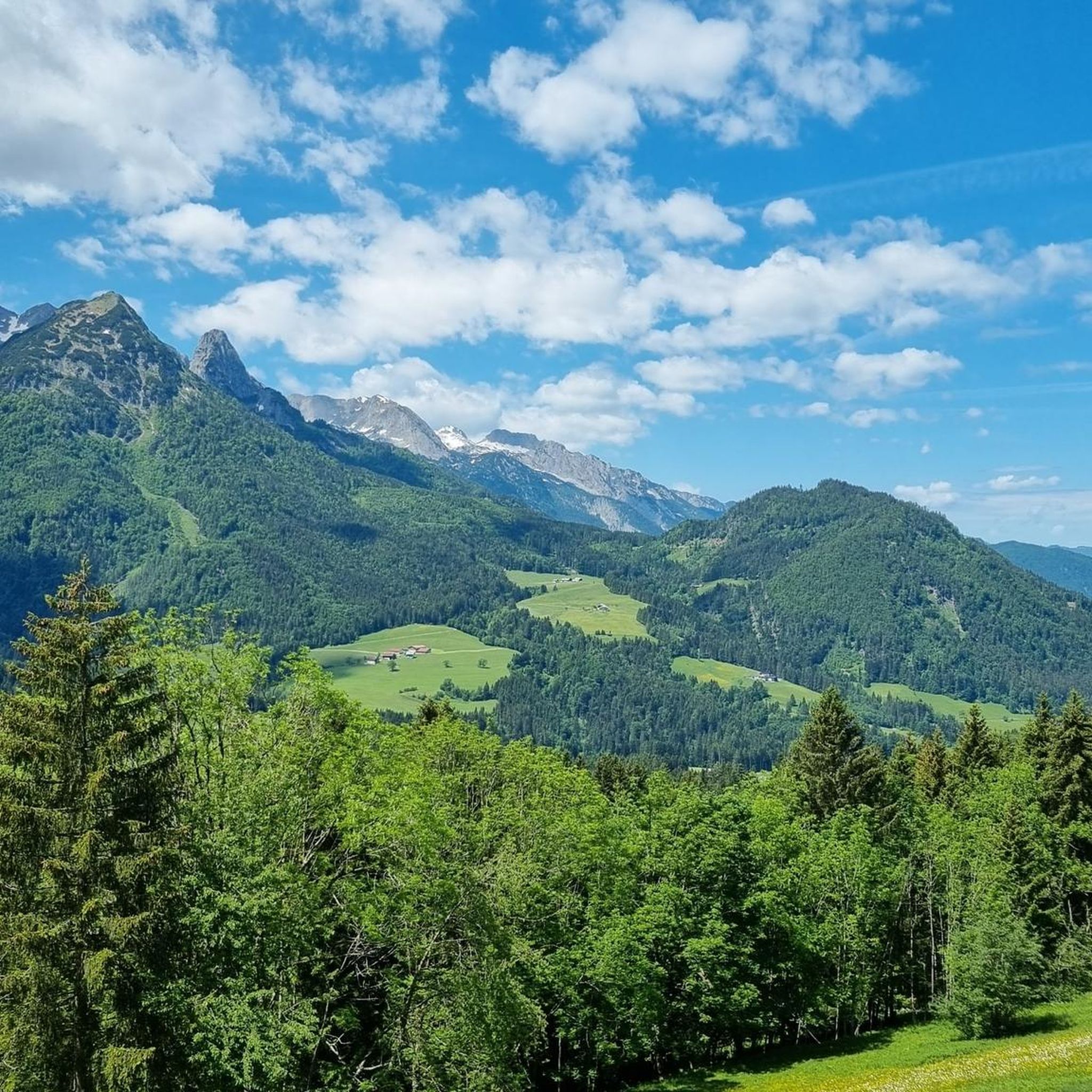
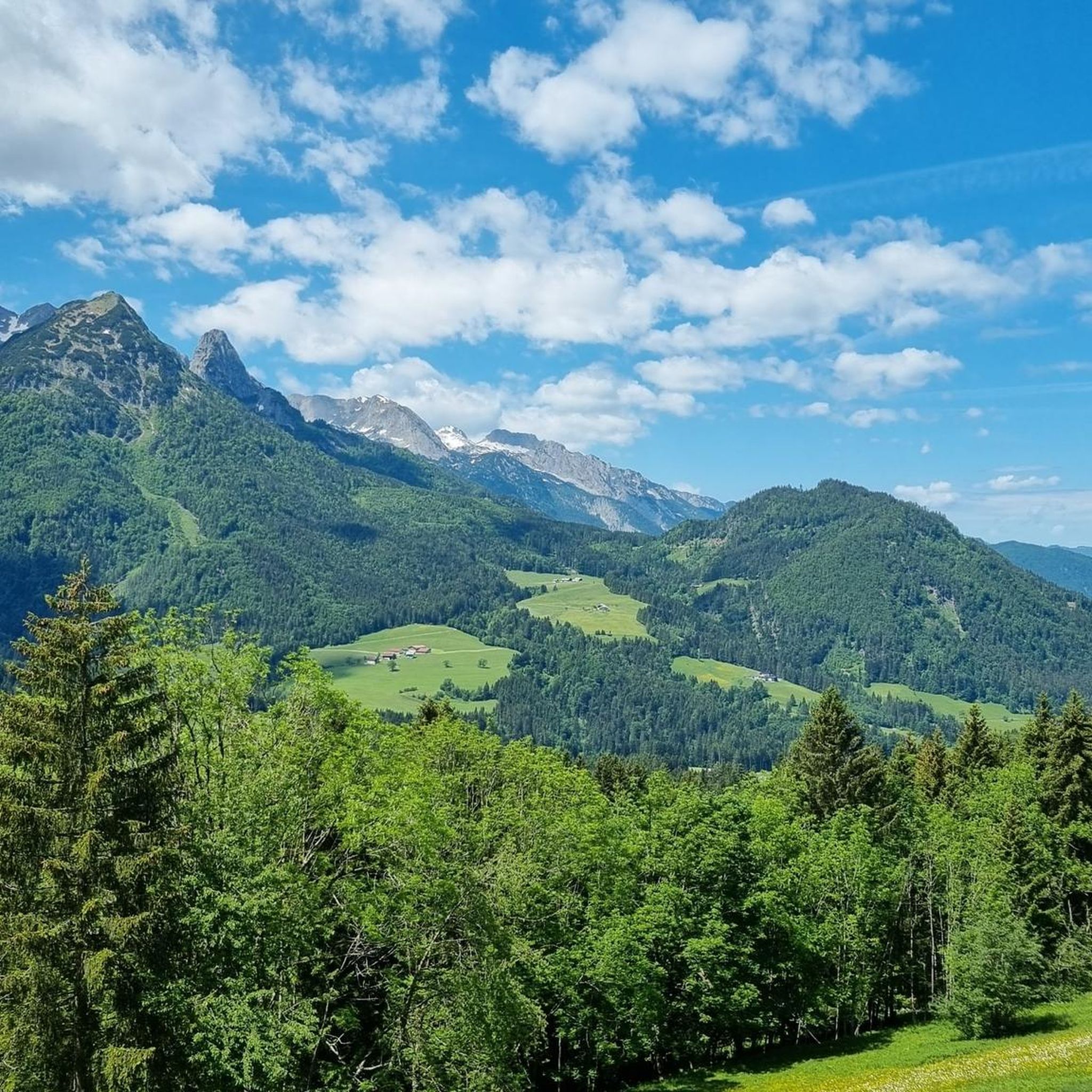
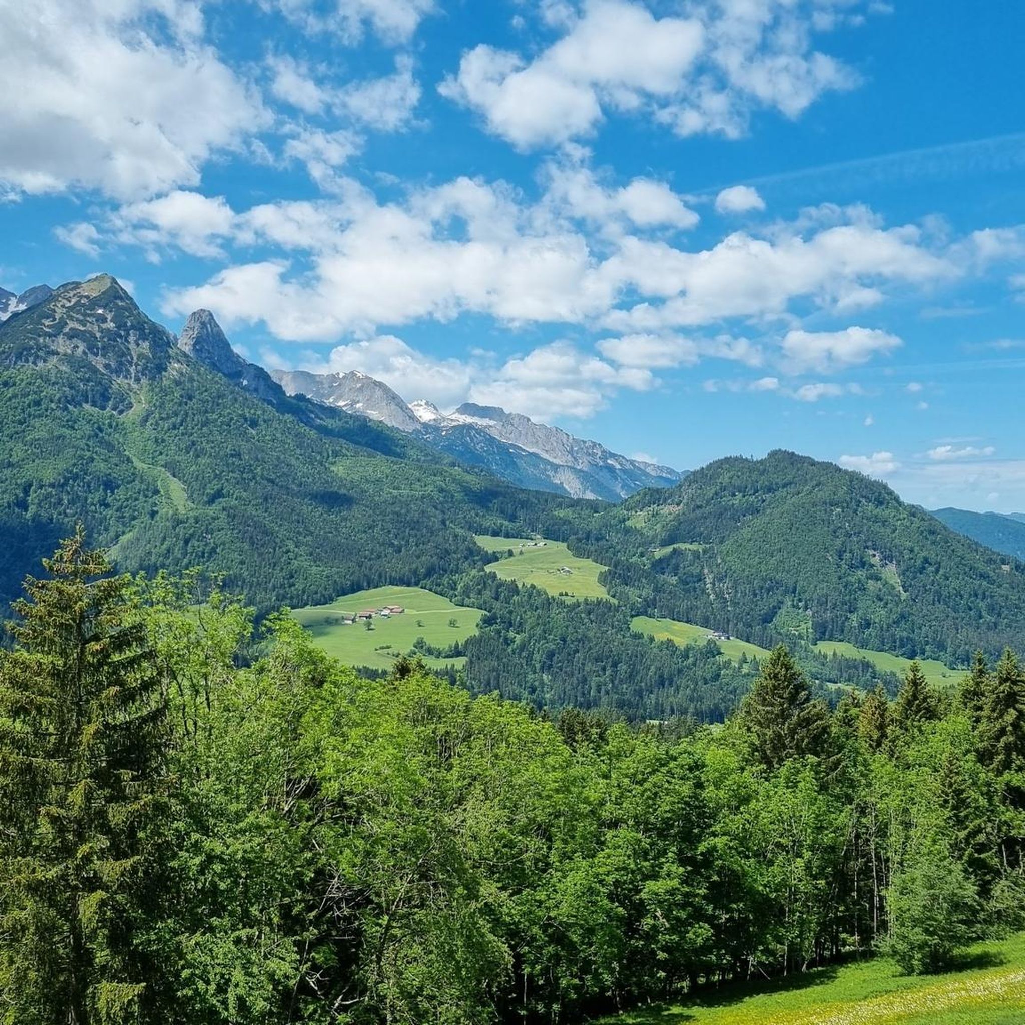
Hiking in Buchbergriedel offers diverse trails through a landscape characterized by gently rolling Alpine foothills and the rugged Limestone Alps. The area features extensive beech forests and open meadows, providing varied terrain for outdoor activities. From the Buchberg plateau, panoramic views extend across approximately 120 mountain peaks. This region is suitable for various skill levels, with paths ranging from easily accessible to those requiring sure-footedness.
Best hiking trails in Buchbergriedel
- The most popular hiking route is Hornbahn Russbach – View…
Last updated: July 4, 2026
5.0
(10)
59
hikers
13.5km
04:14
480m
490m
Moderate hike. Good fitness required. Mostly accessible paths. Sure-footedness required.
5.0
(3)
14
hikers
Moderate hike. Good fitness required. Mostly accessible paths. Sure-footedness required.

Sign up for free
5.0
(3)
10
hikers
12.6km
04:13
550m
550m
Moderate hike. Good fitness required. Mostly accessible paths. Sure-footedness required.
5.0
(3)
19
hikers
Easy hike. Great for any fitness level. Easily-accessible paths. Suitable for all skill levels.
4.8
(13)
67
hikers
7.99km
02:20
220m
230m
Moderate hike. Good fitness required. Easily-accessible paths. Suitable for all skill levels.
Get access to more routes and recommendations from other explorers.
Sign up for free
Already have an account?
Our route recommendations are based on thousands of hikes, rides, and runs completed by other people on komoot.
Start today with a free account
Your next adventure awaits.
Login or Signup

Tips from the Community


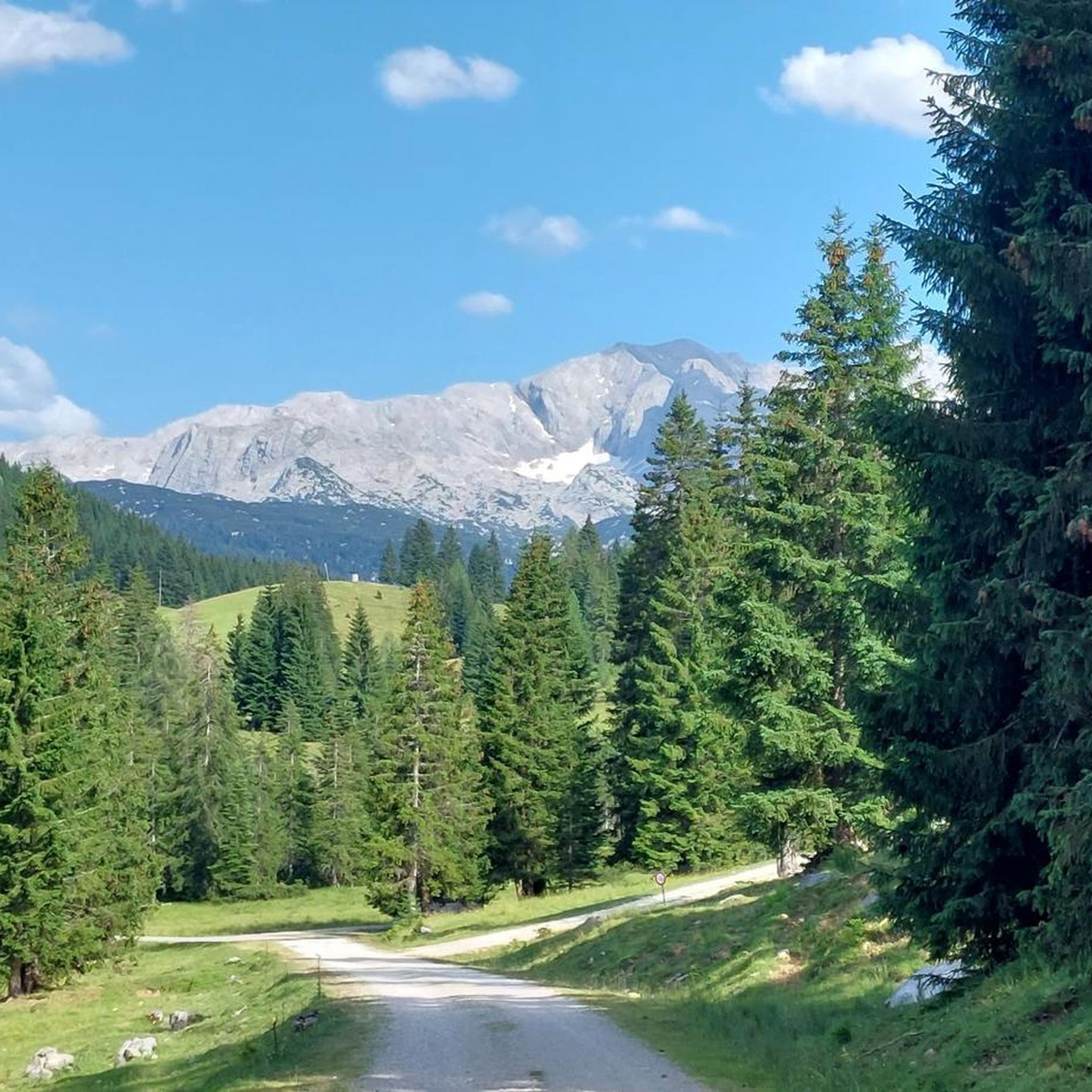
At an altitude of around 1,500 metres you will find a wonderful alpine landscape. Just the thing for a relaxed hike with stunning panoramas.
1
0

A somewhat older cable car, but a great place to visit.
0
0
Nice place for a day trip.
0
0
Delicious food and homemade lemonade.
0
0

Very nice circular hiking trail
0
0

fantastic view, superbly run hut with excellent cuisine!!!
0
0
Frequently Asked Questions
How many hiking trails are available in Buchbergriedel?
Buchbergriedel offers a comprehensive network of over 350 hiking trails. These routes cater to a wide range of preferences, from leisurely strolls to more demanding treks through varied terrain.
What makes hiking in Buchbergriedel unique?
Hiking in Buchbergriedel is unique due to its diverse landscape, featuring beautiful beech forests, gently rolling Alpine foothills, and impressive views of the rugged Limestone Alps. You'll encounter intriguing geological formations like the Teufelskeller and the distinctive Predigtstuhl, adding a special character to your outdoor experience.
Are there easy hiking trails suitable for beginners or families with children?
Yes, Buchbergriedel has over 115 easy hiking trails, perfect for beginners or families. These paths often wind through serene beech forests and offer gentle gradients. For a shorter, easy option, consider the View of the Dachstein Massif – View of Vorderer Gosausee loop from Zwieselalmhöhe, which is just over 2 kilometers long.
Can I find more challenging hikes in Buchbergriedel?
Absolutely. For those seeking a greater challenge, Buchbergriedel offers over 65 difficult routes. These trails often involve steeper ascents and descents, leading to elevated points with expansive panoramic views across the region.
What kind of views can I expect on the trails?
Many trails in Buchbergriedel lead to elevated points, providing breathtaking panoramic views. From the Buchberg plateau, you can often see approximately 120 mountain peaks, including dominant mountains like Hoher Göll, Watzmann, Dachstein, and Tennengebirge, as well as views towards Salzburg. Routes like the Hornbahn Russbach – View of the Dachstein Massif loop from Rotmoos are known for their scenic vistas.
Are there any notable natural landmarks or points of interest along the hiking routes?
Yes, Buchbergriedel is home to several interesting natural landmarks. You can explore the Teufelskeller, a fascinating cleft cave with deep wedge-shaped crevices, and the nearby Predigtstuhl, a distinctive cuboid rock formation. Information boards along the trails also provide insights into the local flora, fauna, and historical context, including details about a Celtic settlement on Buchberg.
Are there many circular hiking routes in Buchbergriedel?
Yes, many of the hiking trails in Buchbergriedel are designed as circular routes, allowing you to start and end your journey at the same point. This makes planning your hike convenient. An example is the View of the Dachstein Massif – View from Zwieselalmweg loop from Zwieselalmhöhe, which offers varied terrain in a loop.
What do other hikers enjoy most about the trails in Buchbergriedel?
The trails in Buchbergriedel are highly rated by the komoot community, with an average score of 4.6 stars from over 5,500 reviews. Hikers frequently praise the diverse beech forest ecosystems, the panoramic mountain views, and the well-maintained paths that cater to different ability levels.
Can I bring my dog on the hiking trails in Buchbergriedel?
Buchbergriedel is generally dog-friendly, with many trails suitable for walks with your canine companion. However, it's always recommended to keep your dog on a leash, especially in forested areas or near wildlife, and to check for any specific local regulations on individual routes.
What is the best time of year to go hiking in Buchbergriedel?
The best time to hike in Buchbergriedel is typically from spring through autumn, when the weather is mild and the trails are clear. Spring brings lush greenery and blooming flora, while autumn offers stunning foliage colors. Summer is also popular, but be prepared for warmer temperatures. Some trails may be accessible in winter, but conditions can vary, requiring appropriate gear.
Are there any moderate-difficulty routes that offer a good balance of challenge and scenery?
Yes, Buchbergriedel features over 175 moderate-difficulty routes that provide a great balance. These trails often combine forested sections with open viewpoints and offer a satisfying workout without being overly strenuous. The View of the Dachstein Massif – Dachstein West Viewpoint loop from Rotmoos is a popular moderate option, leading through varied landscapes.
Most popular routes in Buchbergriedel

Get inspired with the komoot mobile app


Explore more
Browse the best Hikes in other regions.
