The best MTB trails in Wielki Dział
4.6
(15)
142
riders
42
rides
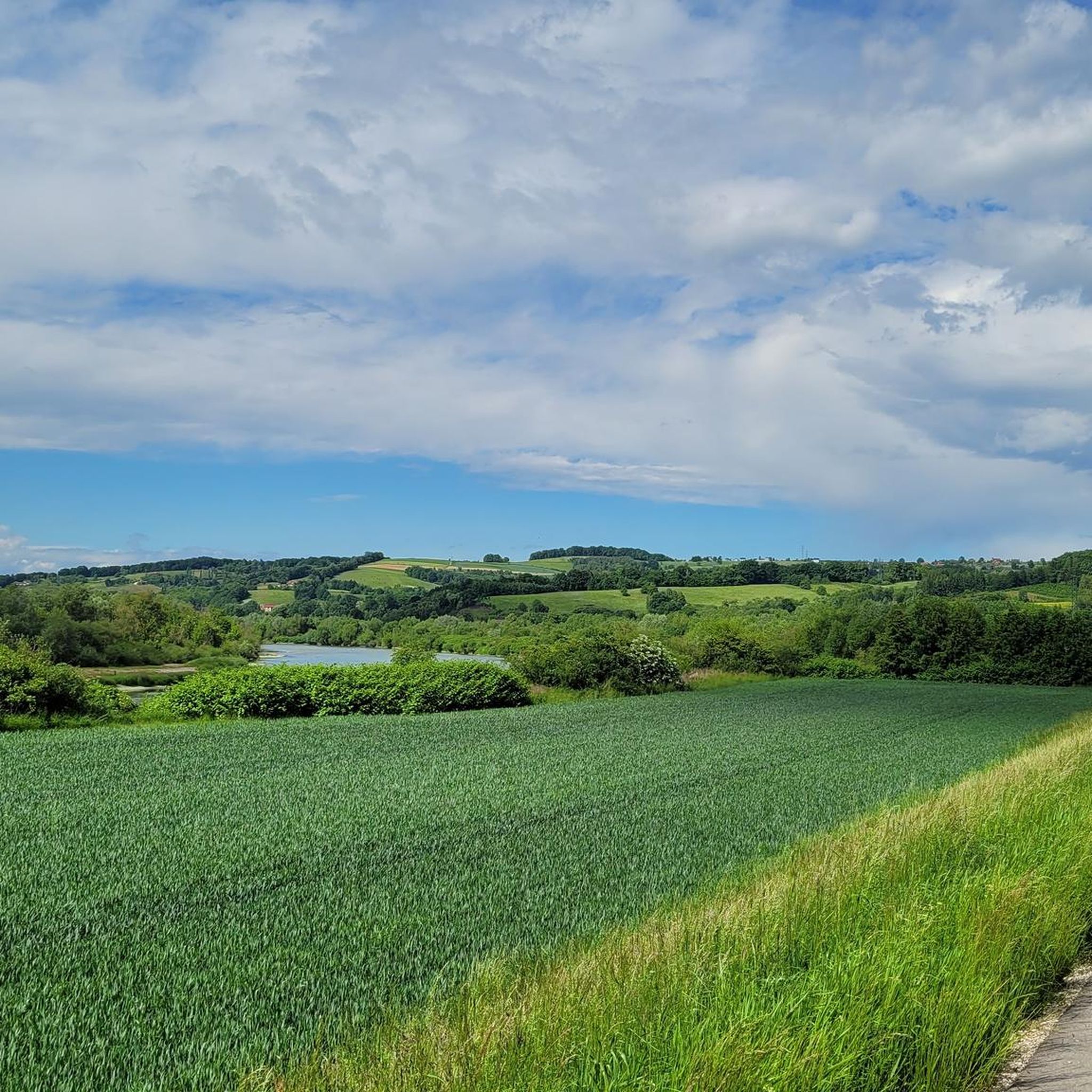
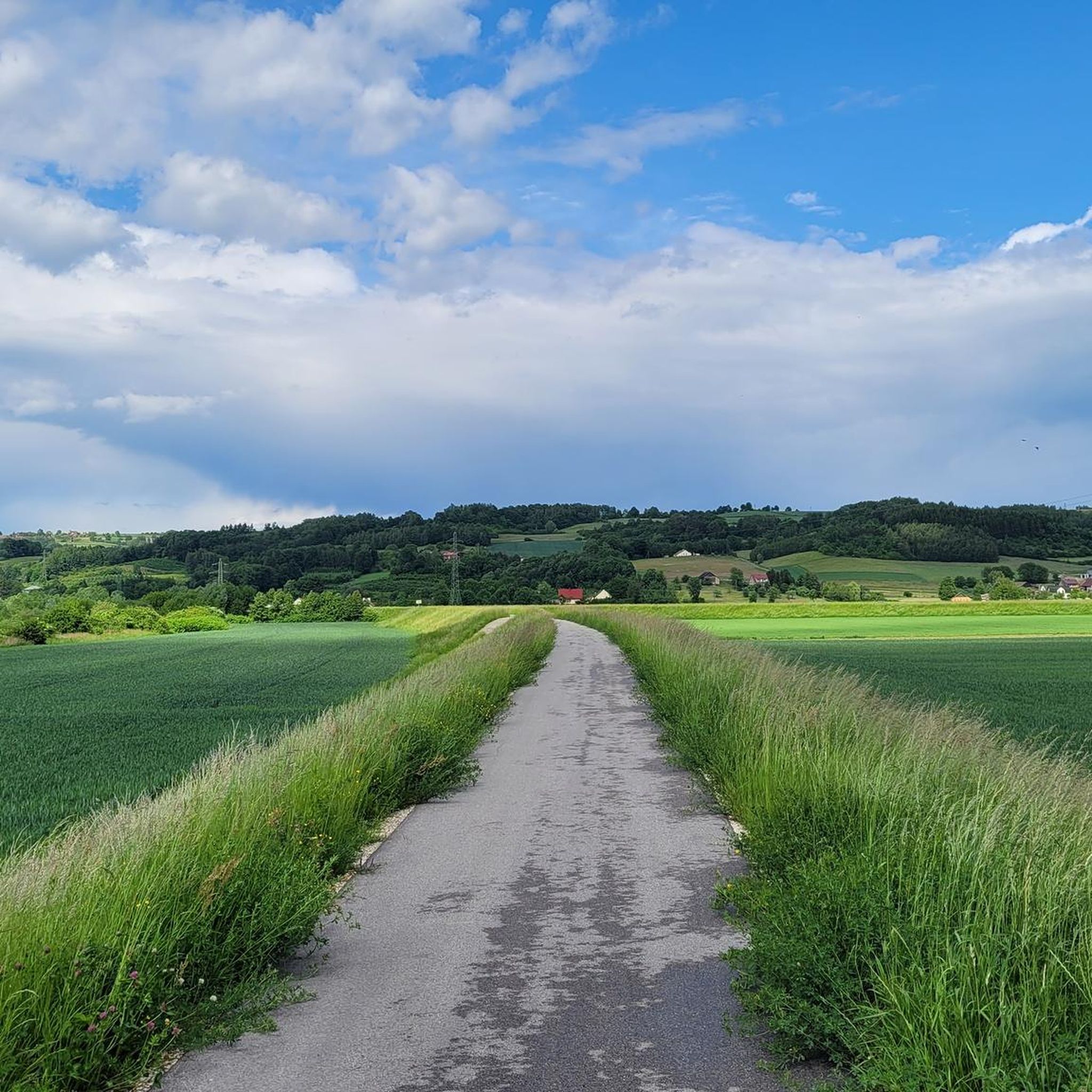
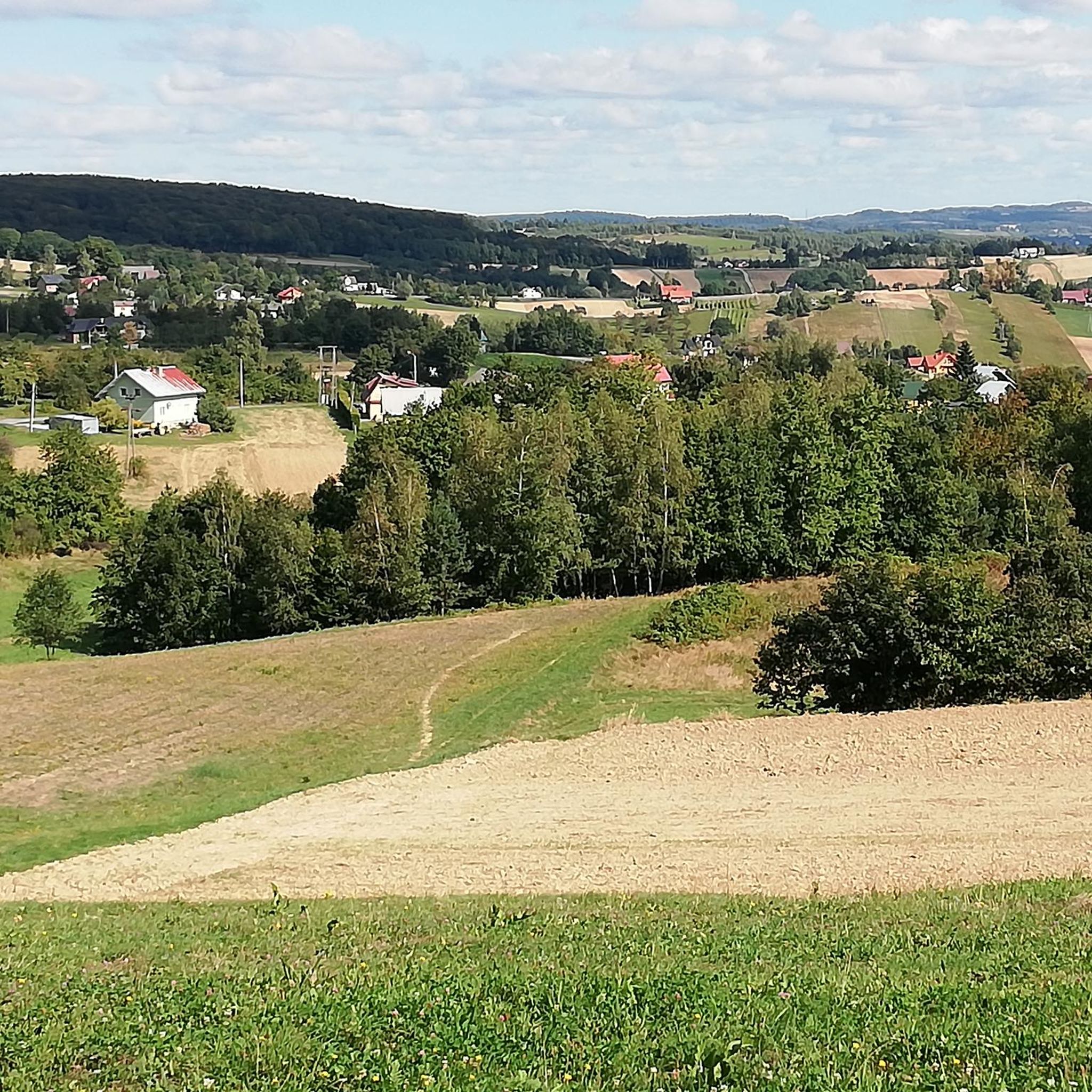
Mountain biking in Wielki Dział offers routes through a landscape characterized by hilly terrain and dense forests within the Eastern Roztocze region of Poland. This area features significant elevations, with Wielki Dział itself rising to 390.5 meters above sea level, acting as a water divide for the Tanew and Rata rivers. The region's natural environment includes pristine streams, fields, and woodlands, providing varied settings for mountain bike trails.
Best mountain bike trails in Wielki Dział
- The most popular mountain bike…
Last updated: July 10, 2026
4.3
(3)
28
riders
73.6km
04:06
430m
430m
Moderate mountain bike ride. Good fitness required. Advanced riding skills necessary.
5.0
(1)
9
riders
54.7km
03:55
670m
670m
Moderate mountain bike ride. Good fitness required. Advanced riding skills necessary.

Sign up for free
5.0
(1)
9
riders
22.6km
02:20
620m
620m
Moderate mountain bike ride. Good fitness required. Advanced riding skills necessary.
6
riders
31.3km
02:37
580m
580m
Moderate mountain bike ride. Good fitness required. Advanced riding skills necessary.
5
riders
31.4km
02:18
510m
510m
Moderate mountain bike ride. Good fitness required. Advanced riding skills necessary.
Get access to more routes and recommendations from other explorers.
Sign up for free
Already have an account?
Our route recommendations are based on thousands of hikes, rides, and runs completed by other people on komoot.
Start today with a free account
Your next adventure awaits.
Login or Signup
Tips from the Community

Unfortunately, on April 30, the bacówka on Brzanka ceased its operations.
0
0

Tarnów is worth a visit. It's a beautiful city.
0
0
Tarnów is a beautiful city worth seeing.
0
0

Pułaskiego Street and Krakowska Street.
0
0

One of the iconic places in the Brzanki Range
0
0

Czchów Power Plant – a power plant that is part of the dam built in 1936–1949 on the Dunajec River
0
0
Frequently Asked Questions
How many mountain bike trails are available in Wielki Dział?
Wielki Dział offers a good selection of mountain bike routes, with over 35 trails available for exploration. These routes cater to various skill levels, predominantly featuring moderate difficulty.
What is the typical terrain like for mountain biking in Wielki Dział?
The terrain in Wielki Dział is characterized by hilly landscapes and dense forests, typical of the Eastern Roztocze region. You'll encounter varied paths through woodlands, fields, and along pristine streams, with significant elevations as Wielki Dział itself rises to 390.5 meters above sea level.
Are there mountain bike trails suitable for beginners or advanced riders in Wielki Dział?
While the majority of routes in Wielki Dział are rated as moderate, there are a few options for both easier and more challenging rides. The guide lists 2 easy trails and 3 difficult trails, alongside 33 moderate ones, ensuring there's something for different experience levels.
What kind of natural features or landmarks can I expect to see on the mountain bike trails?
Mountain biking in Wielki Dział offers views of diverse natural features. You can expect to see dense forests, open fields, and pristine streams. The area is part of the 'Crown of Roztocze Hills,' providing scenic vistas. Some routes, like the Brzanka Observation Tower – Ostry Kamień Nature Monument loop from Lubaszowa, pass by specific natural monuments.
Are there any circular mountain bike routes in Wielki Dział?
Yes, many of the mountain bike routes in Wielki Dział are designed as loops, allowing you to start and end in the same location. Examples include the Brzanka Observation Tower – Forest Parking with Shelter loop from Lubaszowa and the Brzanka Observation Tower – Ryglice Market Square loop from Lubaszowa.
What is the best time of year for mountain biking in Wielki Dział?
Given the region's dense forests and hilly terrain, spring, summer, and early autumn generally offer the best conditions for mountain biking in Wielki Dział. These seasons provide pleasant temperatures, lush scenery, and drier trails, making for a more enjoyable experience.
Are there any historical sites or points of interest along the mountain bike routes in Wielki Dział?
Yes, the region has historical significance. The western and northern slopes of Wielki Dział feature numerous bunkers from the Molotov Line, a series of Soviet defensive structures. While not directly on all MTB routes, these historical sites are part of the broader area's appeal and can be explored via marked tourist trails like the blue "Po schronach linii Mołotowa" (Along the Molotov Line shelters) trail.
What are the typical lengths and durations of mountain bike trails in Wielki Dział?
The mountain bike trails in Wielki Dział vary in length and duration. For instance, the Brzanka Observation Tower – Ostry Kamień Nature Monument loop from Lubaszowa is 14.2 miles (22.8 km) and takes about 2 hours 21 minutes, while the Church in Bruśnik – Bruśnik Observation Tower loop from Zakliczyn is longer at 46.4 km (28.8 miles) and typically takes around 3 hours 50 minutes.
What do other mountain bikers say about the trails in Wielki Dział?
The mountain bike routes in Wielki Dział are highly regarded by the komoot community, with an average rating of 4.4 stars from over 10 reviews. More than 100 mountain bikers have used komoot to explore the varied terrain, often praising the scenic beauty and the diverse options for different ability levels.
Is Wielki Dział suitable for family mountain biking?
While the guide primarily lists moderate and some difficult trails, the presence of 2 easier routes suggests that families with some mountain biking experience might find suitable options. It's advisable to check the specific difficulty and length of a chosen route to ensure it matches your family's capabilities.
Are there any permits required for mountain biking in Wielki Dział?
The provided information does not indicate any specific permits required for mountain biking on the general trails in Wielki Dział. However, it's always good practice to respect local regulations and signage, especially when riding through protected areas or private land.
Where can I find parking for mountain biking in Wielki Dział?
While specific parking locations are not detailed for every route, many trails, particularly those starting from villages like Lubaszowa or Zakliczyn, often have designated parking areas or roadside spots suitable for trail access. For example, the Brzanka Observation Tower – Forest Parking with Shelter loop from Lubaszowa implies a forest parking area.
Most popular routes in Wielki Dział

Get inspired with the komoot mobile app


Explore more
Browse the best MTB trails in other regions.
