The best road cycling routes in Brünst
4.5
(762)
12,092
riders
696
rides
Road cycling routes in Brünst traverse a landscape characterized by forests and rolling terrain within the Roth district. The region features varied elevation changes, offering diverse cycling experiences. Cyclists can expect paths that wind through wooded areas and open countryside. The network offers options for different ability levels, from easy rides to more challenging routes with notable climbs.
Best road cycling routes in Brünst
- The most popular road cycling route is Höhberg climb from Haundorf – Aicher Weiher loop from…
Last updated: July 12, 2026
5.0
(3)
32
riders
Easy road ride. Great for any fitness level. Mostly well-paved surfaces and easy to ride.
5.0
(8)
110
riders
119km
05:13
870m
870m
Hard road ride. Very good fitness required. Mostly well-paved surfaces and easy to ride.

Sign up for free
4.7
(3)
75
riders
29.0km
01:19
230m
230m
Easy road ride. Great for any fitness level. Mostly well-paved surfaces and easy to ride.
4.8
(4)
66
riders
38.4km
01:43
370m
370m
Moderate road ride. Good fitness required. Mostly well-paved surfaces and easy to ride.
5.0
(2)
51
riders
57.6km
02:27
430m
430m
Moderate road ride. Good fitness required. Mostly well-paved surfaces and easy to ride.
Get access to more routes and recommendations from other explorers.
Sign up for free
Already have an account?
Our route recommendations are based on thousands of hikes, rides, and runs completed by other people on komoot.
Start today with a free account
Your next adventure awaits.
Login or Signup
Tips from the Community

Starting point for the Joke Hiking Trail
0
0

Very nice path along the Rezat
0
0
About the Franconian Retzat
0
0

Very nice quiet street for pedestrians and cyclists
0
0

In 31 minutes from the Waldstrandbad Windsbach to Günzersreuth home.😉
0
1

The Unterreichenbach church was built in its original Romanesque form over 700 years ago. An exact date is unknown, as is the name of the patron saint in whose honor it was dedicated. It was presumably originally built as a fortified church, that is, as a place of refuge during wartime conflicts.
0
0

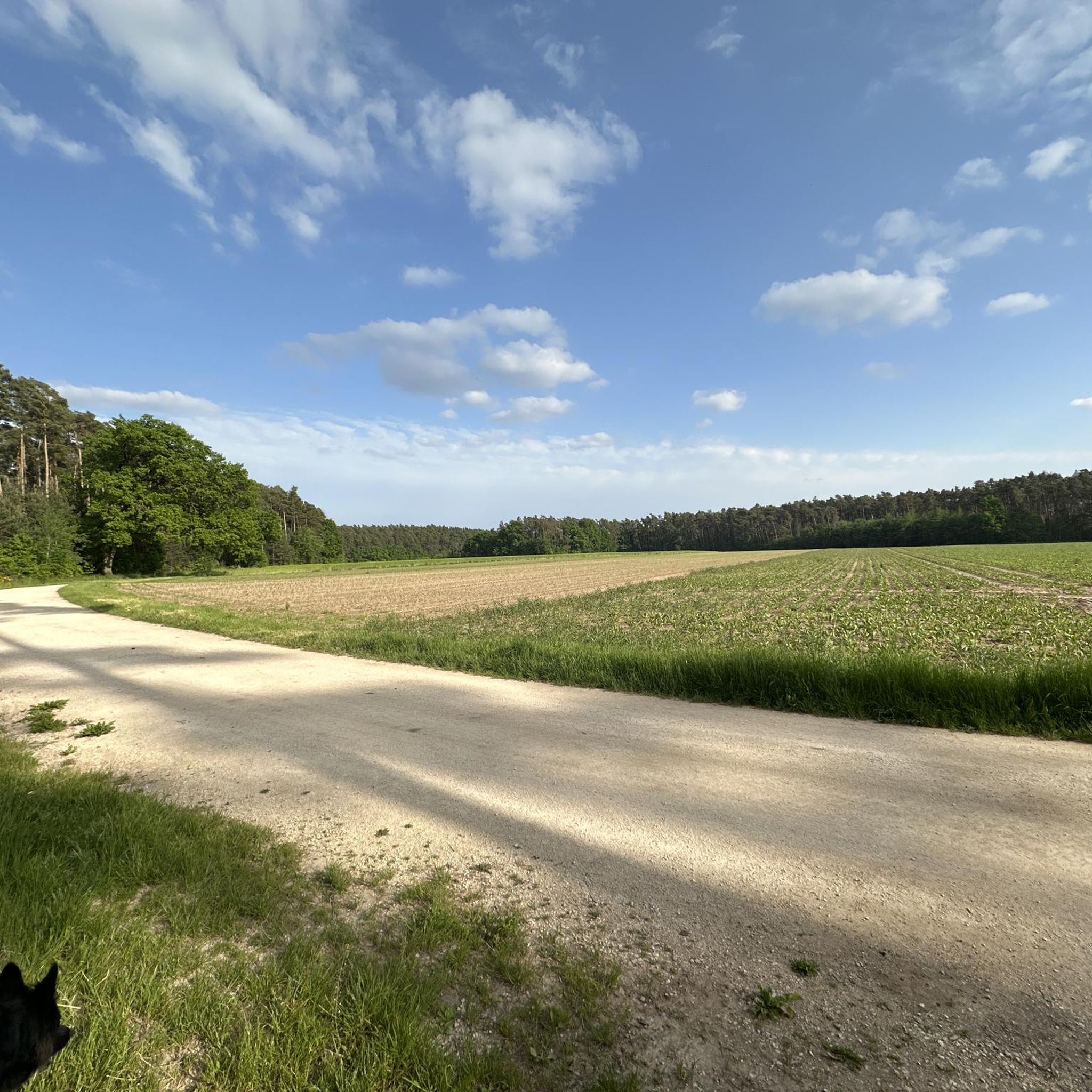
Nice road with little traffic.
0
0

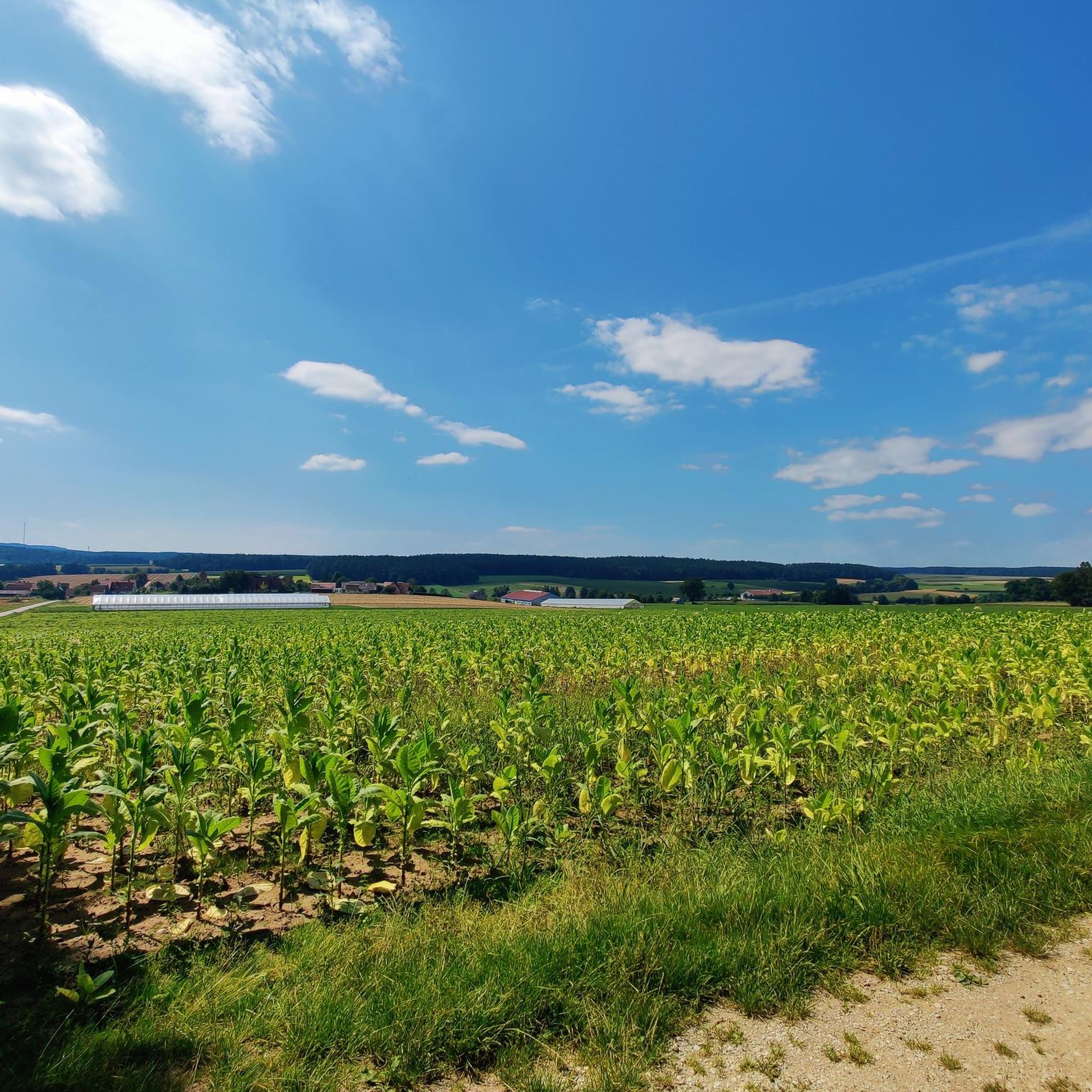
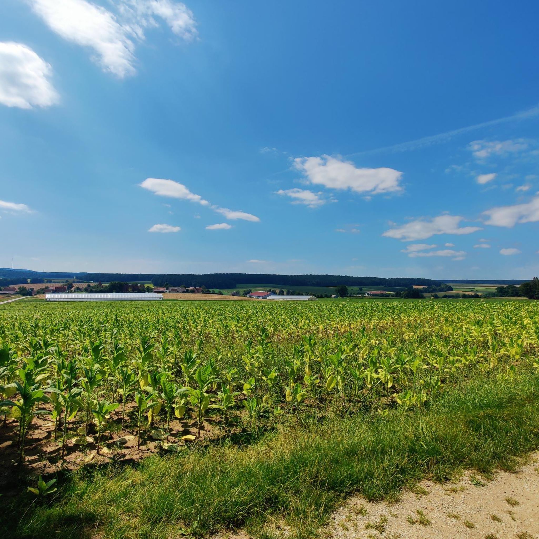
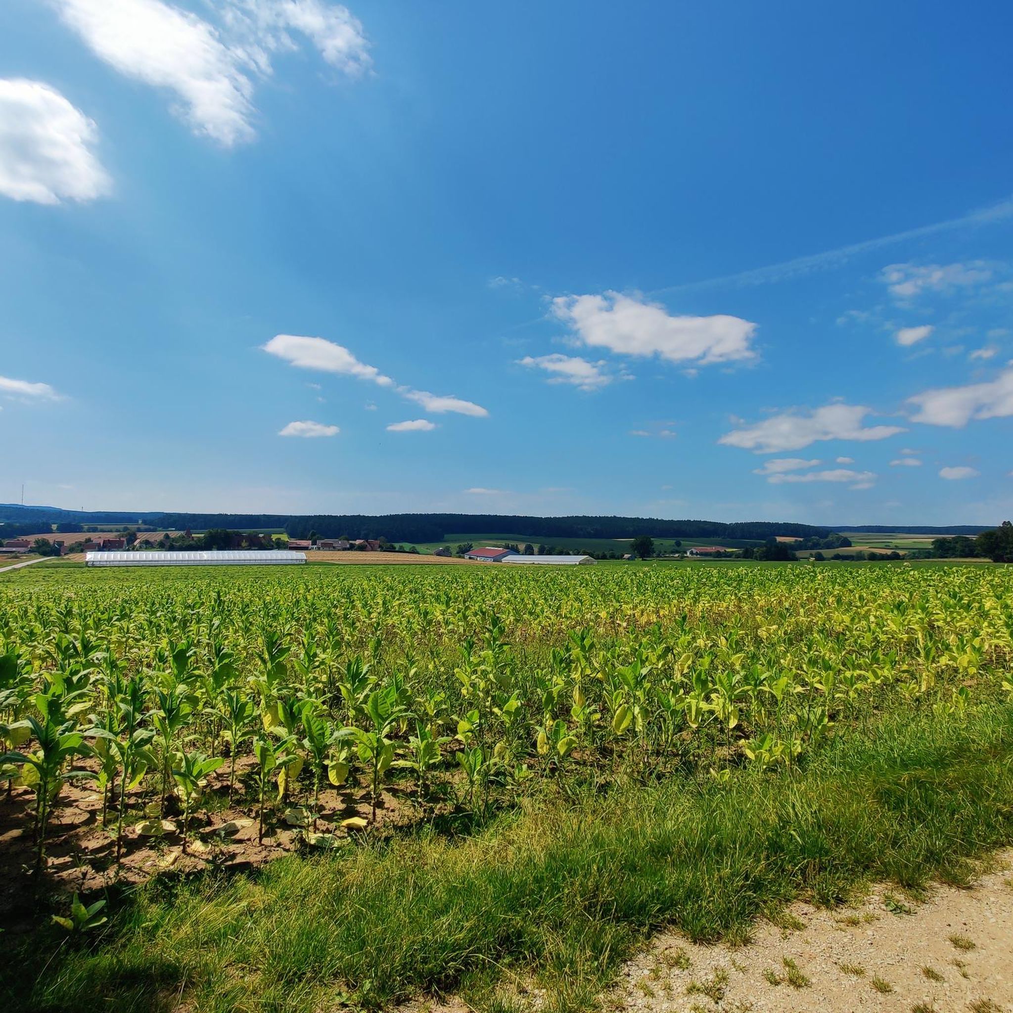
As dry as in the southern countries 7.2025
1
0
Frequently Asked Questions
How many road cycling routes are available in Brünst?
There are over 690 road cycling routes in Brünst, offering a wide range of options for different skill levels and preferences. This includes approximately 120 easy routes, over 500 moderate routes, and more than 60 challenging routes.
What kind of terrain can I expect on road cycling routes in Brünst?
Road cycling in Brünst features a diverse landscape of forests and rolling terrain, characteristic of the broader Westerwald-Sieg region. You'll encounter varied elevation changes, from gentle slopes to more significant climbs, providing engaging experiences for all cyclists.
Are there easy road cycling routes suitable for beginners in Brünst?
Yes, Brünst offers a good selection of easy road cycling routes perfect for beginners. For instance, the Schwabach Market Square – St. Emmeram Church, Rohr loop from Schwabach is an easy 25.9-mile (41.7 km) path that provides a relaxed ride through varied scenery.
Where can I find more challenging road cycling routes in Brünst?
For experienced cyclists seeking a challenge, Brünst has several routes with significant elevation gain. A notable option is the Höhberg climb from Haundorf – Aicher Weiher loop from Schwabach, a 73.9-mile (119.0 km) trail with substantial climbing, making it a demanding ride.
What are some scenic highlights or landmarks I can see along the road cycling routes?
While cycling in Brünst, you can explore various points of interest. Consider routes that pass by the Kottensdorf–Regelsbach Cycle Path or the Road Cycling Route Großweismannsdorf – Schwabach. For natural beauty, look out for the Echinacea Field Near Schwabach. The broader Westerwald-Sieg region also features historical sites like Herdringen Castle Park or Crottorf moated castle, and the scenic Siegtal valley.
What is the best time of year for road cycling in Brünst?
The spring and summer months are particularly recommended for road cycling in Brünst, as the mild temperatures and vibrant nature enhance the experience. Autumn also offers a chance to admire colorful foliage, making it another beautiful season for rides.
Are there circular road cycling routes in Brünst?
Yes, many road cycling routes in Brünst are designed as circular tours, allowing you to start and end your ride at the same point. This is a common feature in the Westerwald-Sieg region, providing stress-free excursions through nature.
What do other road cyclists enjoy the most about road cycling in Brünst?
The road cycling routes in Brünst are highly rated by the komoot community, with an average score of 4.6 stars from over 690 reviews. Cyclists often praise the varied terrain, the combination of forested areas and open countryside, and the options available for different ability levels.
Are there family-friendly road cycling routes in Brünst?
While specific 'family-friendly' designations for road cycling can vary, the numerous easy and moderate routes in Brünst, particularly those with less elevation gain, can be suitable for families. Look for routes that follow flatter sections or well-maintained cycle paths, such as those along the Siegtal valley in the wider region.
Can I find cafes or places to rest along the road cycling routes in Brünst?
While specific cafes are not listed for every route, the region around Brünst, including nearby villages and towns, offers opportunities for refreshment. Many routes pass through or near populated areas where you can find cafes, pubs, or other establishments to rest and refuel.
Are there options for public transport or parking near the road cycling routes?
Information on specific public transport connections or dedicated parking for every route is not detailed here. However, as Brünst is part of a well-developed region, it's advisable to check local public transport schedules and parking availability in starting towns like Schwabach or other nearby villages before your ride.
What is the typical distance of road cycling routes in Brünst?
The distances of road cycling routes in Brünst vary widely. You can find shorter routes, like the St. Emmeram Church, Rohr – Gustenfelden Village loop from Schwabach at 18.0 miles (29.0 km), as well as much longer options such as the Höhberg climb from Haundorf – Aicher Weiher loop from Schwabach, which spans 73.9 miles (119.0 km).
Most popular routes in Brünst
Most popular attractions in Brünst

Get inspired with the komoot mobile app


Explore more
Browse the best Road cycling routes in other regions.
