The best cycling routes in Forêt De Puttelange
4.5
(397)
2,494
riders
204
rides
Touring cycling in Forêt De Puttelange traverses a landscape characterized by dense forests, primarily composed of oak, beech, and hornbeam trees, situated on the fertile Lorraine plateau. The region features varied terrain, including protected wetlands and numerous lakes and ponds, which contribute to its scenic beauty. Cycling routes often follow less-trafficked forest roads and canal paths, providing a mix of shaded environments and open waterside views. This area offers a blend of natural tranquility and historical points of interest for cyclists.
Best touring cycling routes in Forêt De Puttelange
- The most popular touring cycling route is Farschviller Pond – Lower Hoste Pond loop from Hohwarte, a 22.1 miles (35.5 km) trail that takes 2 hours 39 minutes to complete. This route offers a challenging ride through varied forest and pond landscapes.
- Another top favourite among local touring cyclists is Diefenbach Pond – Diefenbacher Pond loop from Diefenbach, an easy 6.0 miles (9.7 km) path. This route provides gentle cycling around picturesque ponds and through local scenery.
- Local touring cyclists also love the Diefenbacher Pond – Diefenbach Pond loop from Hohwarte, an 11.8 miles (19.0 km) trail leading through forest paths and offering pond views, often completed in about 1 hour 31 minutes.
- Touring cycling in Forêt De Puttelange is defined by tranquil forest routes, scenic waterside paths, and historical points of interest. The network offers options for different ability levels.
- The routes in Forêt De Puttelange are highly rated by the komoot community with an average score of 4.6 stars from over 280 reviews. More than 2000 touring cyclists have used komoot to explore Forêt De Puttelange's varied terrain.
Last updated: July 5, 2026
16
riders
35.4km
02:39
400m
400m
Hard bike ride. Good fitness required. You may need to push your bike for some segments of this route.
4.5
(4)
7
riders
19.0km
01:32
160m
160m
Moderate bike ride. Good fitness required. Mostly paved surfaces. Suitable for all skill levels.

Sign up for free
5
riders
9.55km
00:43
100m
100m
Easy bike ride. Great for any fitness level. Mostly paved surfaces. Suitable for all skill levels.
4.0
(1)
31
riders
78.9km
04:49
410m
410m
Moderate bike ride. Good fitness required. Mostly paved surfaces. Suitable for all skill levels.
4.7
(11)
32
riders
9.59km
00:47
50m
50m
Easy bike ride. Great for any fitness level. Mostly paved surfaces. Suitable for all skill levels.
Get access to more routes and recommendations from other explorers.
Sign up for free
Already have an account?
Our route recommendations are based on thousands of hikes, rides, and runs completed by other people on komoot.
Start today with a free account
Your next adventure awaits.
Login or Signup
Tips from the Community

The Maginot Line: The French Wall | ARTE https://youtu.be/Bvtxa08ysgc For those who want to know more about the Maginot Line: de.wikipedia.org/wiki/Liste_der_Ouvrages_der_Maginot-Linie
1
0

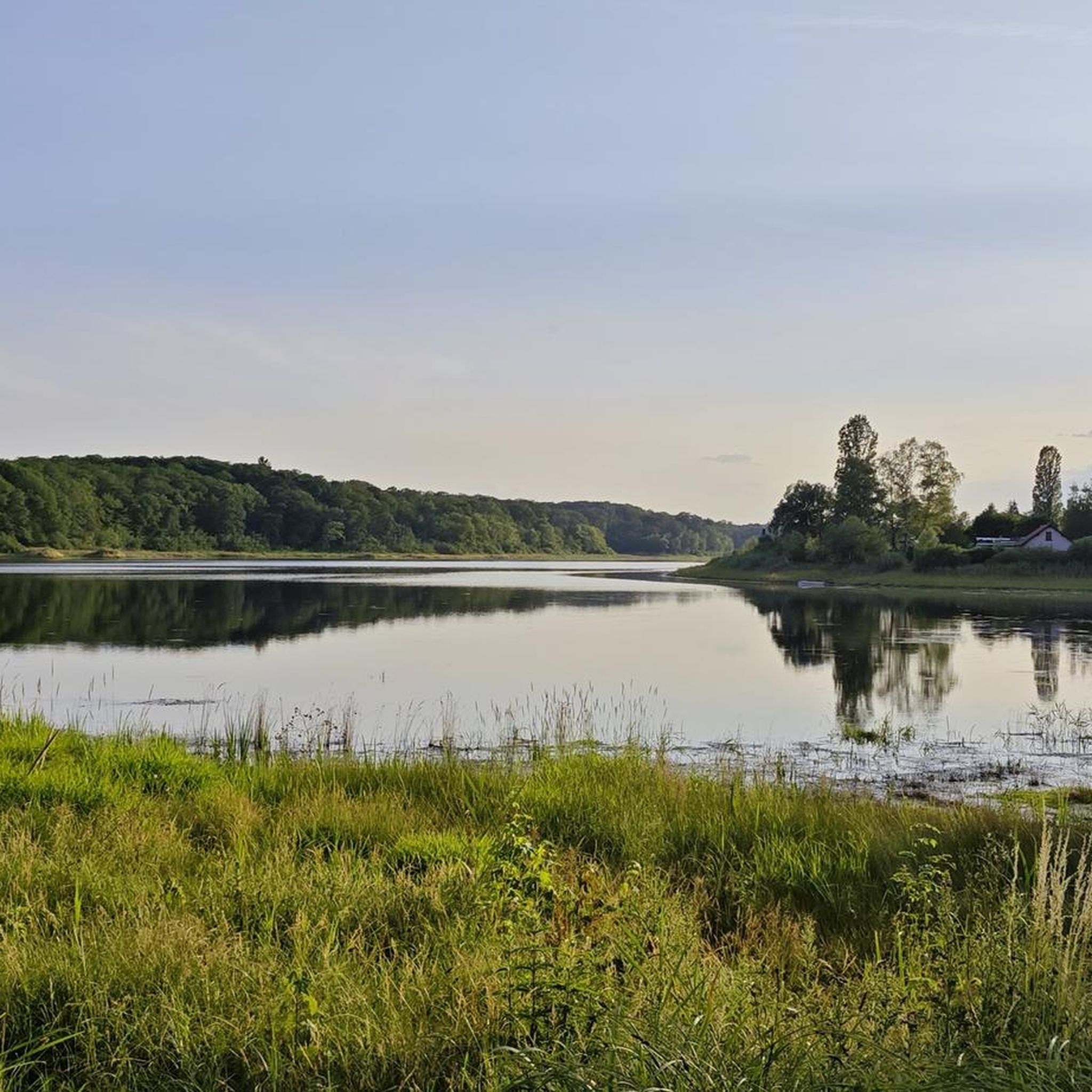
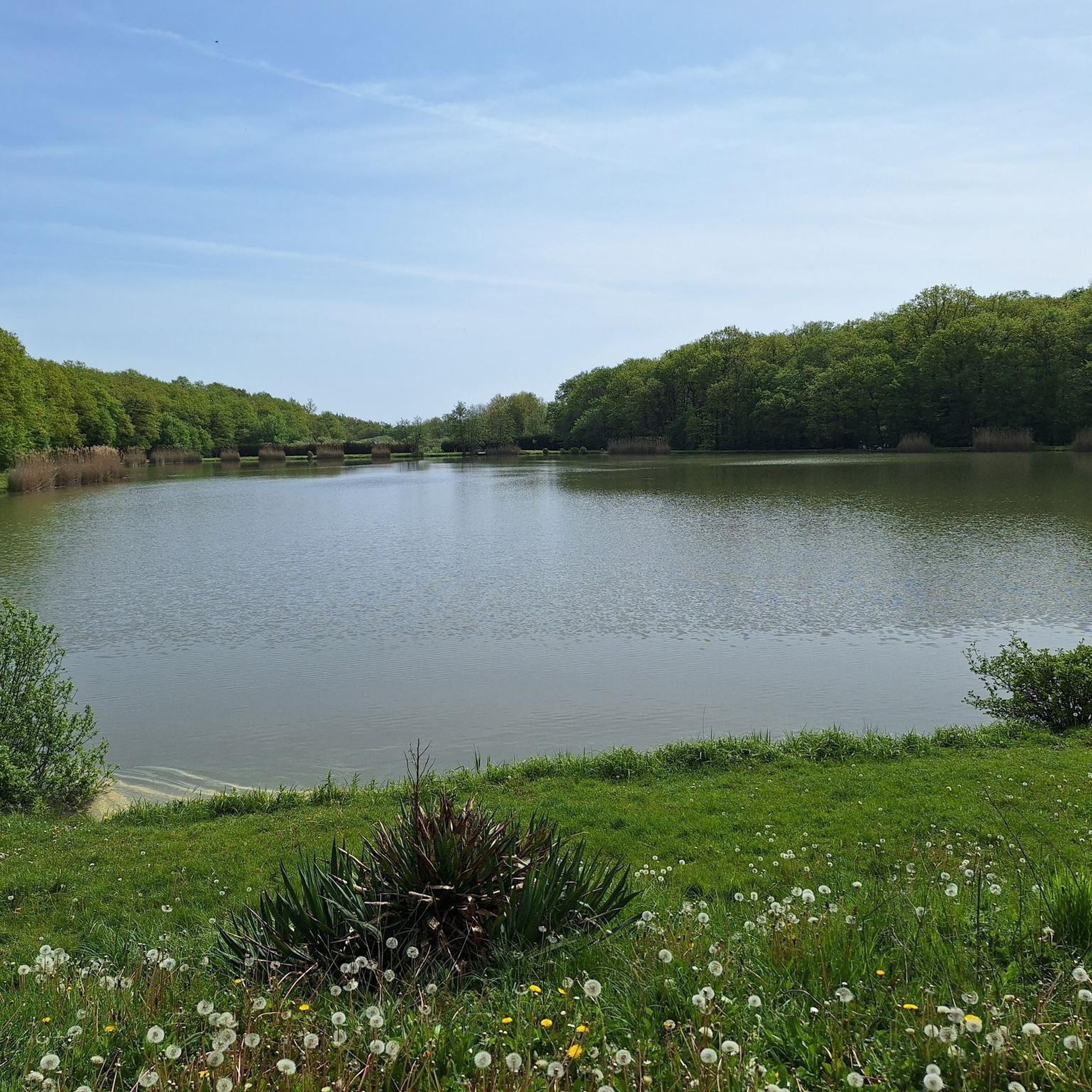
The Hoste Bas pond borders the Hoste Haut pond. It was part of the Maginot Line defense system. Today, they are home to numerous species of fish, much to the delight of anglers.
0
1
The cycle path runs along the Sarralbe river stop. There are picnic tables for a break.
0
0
Hirbach Pond blends history and nature. A remnant of the former aquatic Maginot Line, it is now a popular spot for outdoor recreation. Its municipal campsite, open from April to October, offers an ideal setting for a waterfront stay.
0
0
Remains of the interwar period, this bunker, also called a casemate or blockhouse, is located along the Maginot Line.
0
0
The Welschof Pond is a little corner of paradise for fishermen and ducks. It was built in the 1930s to serve as a reservoir for the Maginot Line's defensive flood control system.
1
0
The Diefenbach Pond covers 75 hectares and is one of the must-see sites along the aquatic Maginot Line. It is home to a wide variety of wildlife. It's not uncommon to encounter ducks, geese, and herons on the banks while strolling.
0
0

The striking tower in the cemetery of Farschviller is the remains of a Romanesque chapel from the 12th century.
1
0
Frequently Asked Questions
How many touring cycling routes are available in Forêt De Puttelange?
Forêt De Puttelange offers a wide selection of touring cycling routes, with over 180 options available. These routes cater to various skill levels, including around 40 easy, 90 moderate, and 50 difficult trails.
What is the best time of year for touring cycling in Forêt De Puttelange?
The region's dense canopy of oak, beech, and hornbeam trees provides ample shade, making spring and autumn particularly pleasant for touring cycling. These seasons offer comfortable temperatures and vibrant natural scenery, enhancing the experience through the forest and along waterside paths.
Are there easy touring cycling routes suitable for beginners or families in Forêt De Puttelange?
Yes, Forêt De Puttelange has numerous easy touring cycling routes perfect for beginners or families. An excellent option is the Diefenbach Pond – Diefenbacher Pond loop from Diefenbach, an easy 6.0-mile (9.7 km) path that provides gentle cycling around picturesque ponds and through local scenery.
What kind of terrain can I expect on touring cycling routes in Forêt De Puttelange?
Touring cycling in Forêt De Puttelange primarily traverses the fertile Lorraine plateau, featuring a mix of dense forest paths, less-trafficked forest roads, and scenic canal paths. You'll encounter varied landscapes, including protected wetlands and numerous lakes and ponds, offering both shaded environments and open waterside views.
Are there any circular touring cycling routes in the Forêt De Puttelange area?
Many touring cycling routes in Forêt De Puttelange are designed as loops, allowing you to start and finish at the same point. For example, the Diefenbacher Pond – Diefenbach Pond loop from Hohwarte is an 11.8-mile (19.0 km) trail that takes you through forest paths and offers pond views, returning to your starting location.
What historical or natural landmarks can I see along the touring cycling routes?
The region around Forêt De Puttelange is rich in both natural beauty and historical sites. Cyclists can explore historical sites like bunkers from past wars, a 10th-century chapel, and military cemeteries. The 'étangs de baignade de Hirbach' (Hirbach bathing ponds), once part of the Maginot Line, now serve as recreational spots and are often found along routes.
Where can I find parking for touring cycling routes in Forêt De Puttelange?
While specific parking areas for each route vary, many touring cycling routes in Forêt De Puttelange start from villages or recreational areas that offer designated parking. It's advisable to check the starting point of your chosen route on komoot for detailed parking information, often found near trailheads or local amenities.
Is Forêt De Puttelange accessible by public transport for cyclists?
Access to Forêt De Puttelange by public transport can be limited, as many routes begin in smaller villages or forest edges. While some regional bus services might connect to towns near the forest, bringing a bicycle on public transport can be challenging. Driving to a starting point is often the most convenient option for touring cyclists.
Are there any challenging touring cycling routes for experienced cyclists in Forêt De Puttelange?
Experienced touring cyclists will find challenging routes in Forêt De Puttelange that offer significant elevation gain and longer distances. A notable option is the Farschviller Pond – Lower Hoste Pond loop from Hohwarte, a 22.1-mile (35.5 km) trail with over 400 meters of elevation gain, providing a demanding ride through varied forest and pond landscapes.
What do other touring cyclists say about the routes in Forêt De Puttelange?
The touring cycling routes in Forêt De Puttelange are highly rated by the komoot community, with an average score of 4.6 stars from over 280 reviews. Cyclists often praise the tranquil forest paths, scenic waterside views, and the blend of natural beauty with historical points of interest that define the region's cycling experience.
Are there any longer touring cycling routes available in Forêt De Puttelange?
For those seeking longer touring cycling adventures, Forêt De Puttelange offers routes that extend across the region. The Ligne Maginot aquatique (boucle sud) is a substantial 49.0-mile (78.9 km) route, providing an extensive exploration of the area's landscapes and historical context.
Where can I find refreshments or cafes near the touring cycling routes?
Many touring cycling routes in Forêt De Puttelange pass through or near charming villages like Puttelange-aux-Lacs. These villages often have local cafes, bakeries, or small restaurants where you can stop for refreshments, a meal, or to refill your water bottles during your ride.
Most popular routes in Forêt De Puttelange

Get inspired with the komoot mobile app


Explore more
Browse the best Cycling routes in other regions.
