The best road cycling routes in Forêt De Puttelange
4.3
(48)
1,068
riders
147
rides
Road cycling routes in Forêt De Puttelange traverse a landscape characterized by dense woodlands, meandering rivers, and a network of canals. The region features gentle rolling terrain with occasional moderate ascents, making it suitable for various road cycling abilities. Riders can expect routes that follow waterways like the Saar river and pass by several ponds, offering a mix of natural scenery and established paths. The area provides a consistent surface for road bikes, with elevation gains typically under 600 meters.
…Last updated: July 6, 2026
5.0
(3)
38
riders
46.3km
02:46
440m
440m
Moderate road ride. Good fitness required. Mostly well-paved surfaces and easy to ride.
10
riders
37.6km
01:41
260m
260m
Easy road ride. Great for any fitness level. Mostly well-paved surfaces and easy to ride.

Sign up for free
5.0
(7)
19
riders
42.4km
02:28
350m
350m
Moderate road ride. Good fitness required. Mostly well-paved surfaces and easy to ride.
5.0
(2)
122
riders
78.4km
03:30
620m
620m
Moderate road ride. Good fitness required. Mostly well-paved surfaces and easy to ride.
4.9
(10)
124
riders
127km
05:24
490m
490m
Hard road ride. Very good fitness required. Mostly well-paved surfaces and easy to ride.
Get access to more routes and recommendations from other explorers.
Sign up for free
Already have an account?
Our route recommendations are based on thousands of hikes, rides, and runs completed by other people on komoot.
Start today with a free account
Your next adventure awaits.
Login or Signup
Tips from the Community

Is located directly on the Friendship Bridge between Kleinblittersdorf 🇩🇪 and Grosbliedersdorf🇫🇷.
0
0


A walkable map with the highlights of Sarreguemines.
0
0

🌉 Parablies Bridge – A Quiet Border Crossing over the Blies River The Parablies Bridge connects Germany and France in a truly peaceful way – between Bliesmengen-Bolchen and the French town of Schweyen. Surrounded by meadows, fields, and pastures, you cross the Blies River on a simple yet atmospheric footbridge. No traffic, no noise – just the feeling of simply leaving borders in your mind behind. 🇩🇪🇫🇷 Tip: Ideal for hikers or cyclists who want to consciously cross the border – with one foot in France, the other in the Saarland countryside.
0
0

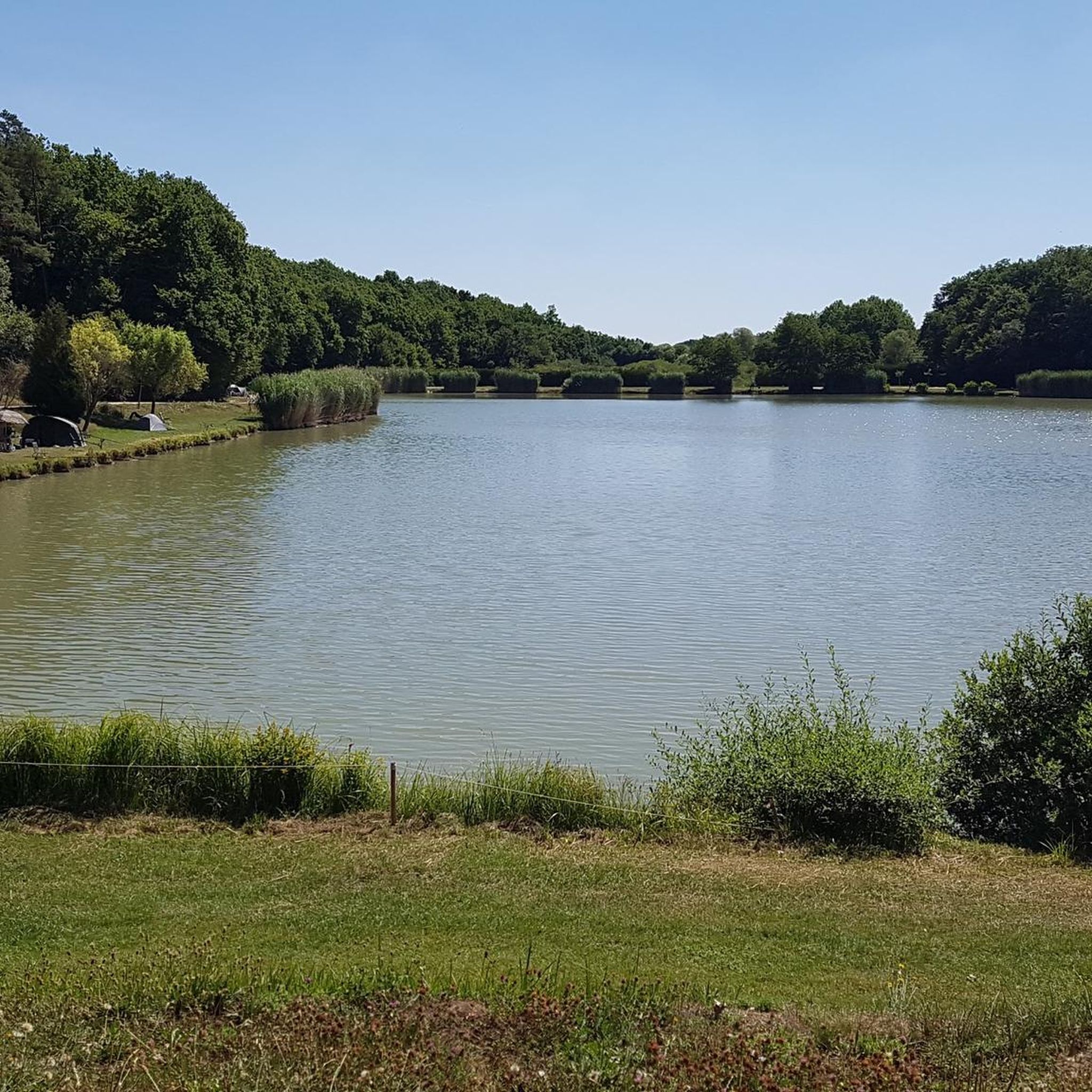
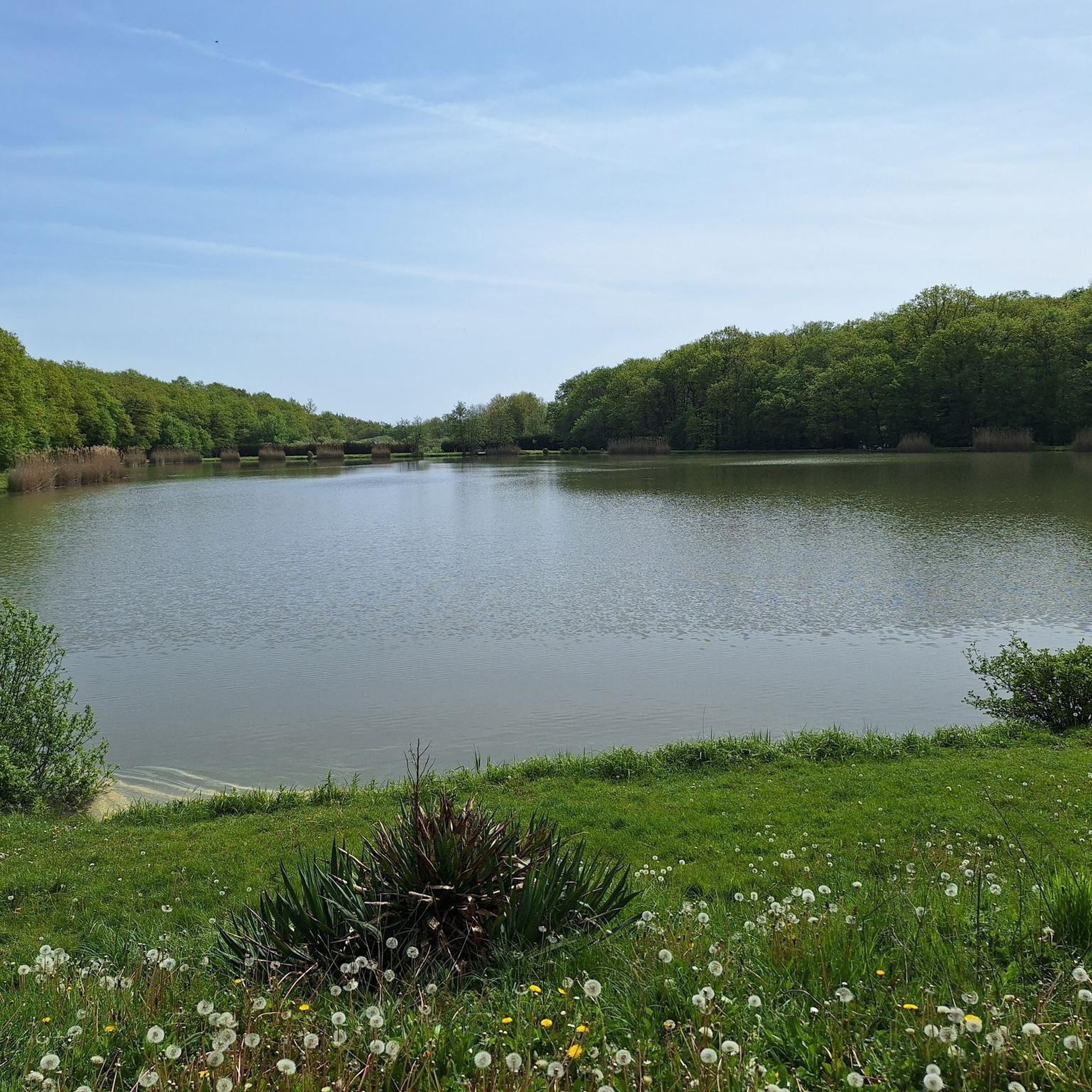
The Hoste Bas pond borders the Hoste Haut pond. It was part of the Maginot Line defense system. Today, they are home to numerous species of fish, much to the delight of anglers.
0
1
Sarreguemines is distinguished by its rich industrial and artisanal past. Renowned for its pottery, it houses a museum dedicated to this art, testifying to its centuries-old expertise. Crossed by the Saar River, the town offers a picturesque setting with its landscaped banks and historic center, which blends traditional architecture with industrial remains.
0
1
The Diefenbach Pond covers 75 hectares and is one of the must-see sites along the aquatic Maginot Line. It is home to a wide variety of wildlife. It's not uncommon to encounter ducks, geese, and herons on the banks while strolling.
0
0

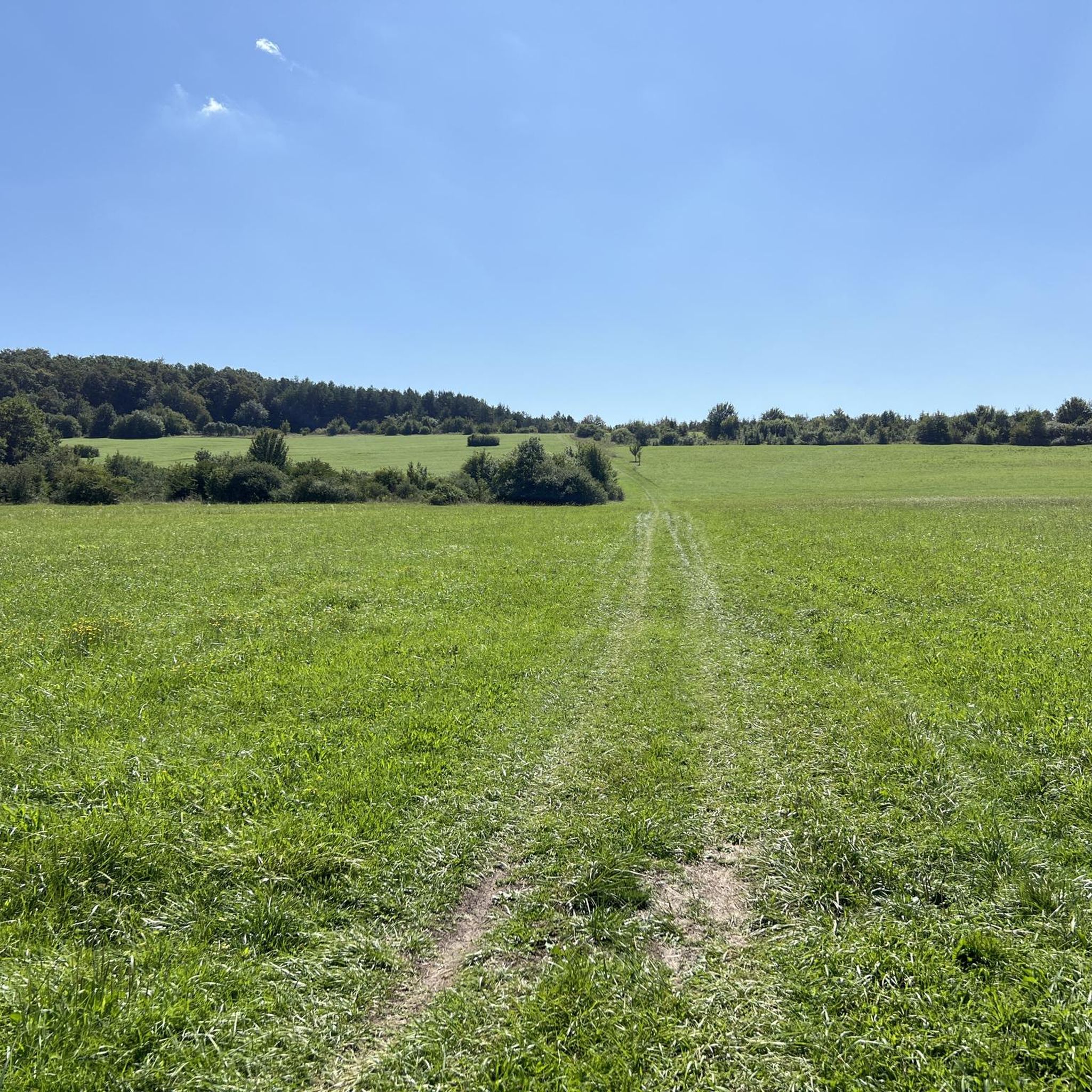
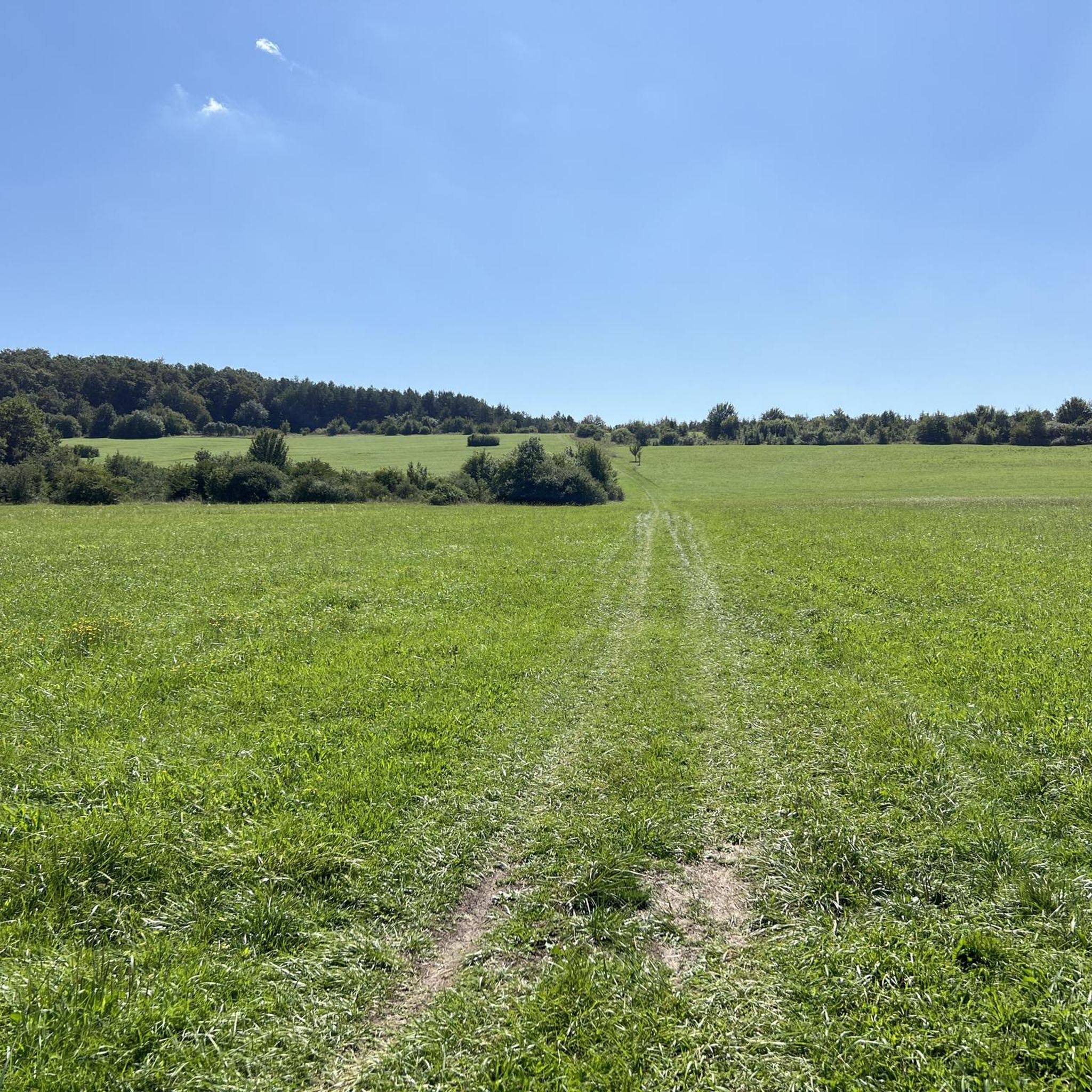
This is a religious mound with artefacts all around it. Just before you reach Tenteling, France. It invites you to stop and look to see what it actually ise
0
0
Frequently Asked Questions
How many road cycling routes are available in Forêt De Puttelange?
Forêt De Puttelange offers a wide selection of road cycling routes, with over 150 different tours available. These routes cater to various skill levels, ranging from easy to difficult.
What kind of terrain can I expect on road cycling routes in Forêt De Puttelange?
The region is characterized by gentle rolling terrain, dense woodlands, and routes that often follow waterways like the Saar river and various canals. You'll find consistent surfaces suitable for road bikes, with elevation gains typically under 600 meters.
Are there easy road cycling routes suitable for beginners in Forêt De Puttelange?
Yes, Forêt De Puttelange has over 20 easy road cycling routes perfect for beginners or those seeking a relaxed ride. An excellent option is the Diefenbach Pond – Lower Hoste Pond loop from Hohwarte, an easy 23.5-mile (37.8 km) path that circles two scenic ponds.
Are there challenging road cycling routes for experienced riders?
Absolutely. For experienced road cyclists looking for a challenge, there are nearly 20 difficult routes available. Consider the Sarreguemines – Saar Cycle Path loop from Farschviller, a demanding 76.7-mile (123.4 km) route with significant distance.
What is the best time of year for road cycling in Forêt De Puttelange?
The spring and autumn months generally offer the most pleasant conditions for road cycling in Forêt De Puttelange, with milder temperatures and beautiful scenery. Summer can also be enjoyable, especially along shaded routes through the forests or beside the canals.
Are there loop routes available for road cyclists?
Yes, many road cycling routes in Forêt De Puttelange are designed as loops, allowing you to start and finish at the same point. Examples include the popular Along the Saar – Start of the Canal de la Sarre loop from Hohwarte and the Étang de Welschhof – Start of the Canal de la Sarre loop from Diefenbach.
What are the typical durations for road cycling routes in the region?
Route durations vary significantly based on distance and difficulty. Easy routes like the Diefenbach Pond loop can take around 1 hour 40 minutes, while longer, more challenging routes such as the Lock No. 9 – Sarreguemines loop from Farschviller might take over 3 hours 30 minutes to complete.
What do other road cyclists enjoy most about road cycling in Forêt De Puttelange?
The area is highly rated by the komoot community, with an average score of 4.3 stars from over 60 reviews. Reviewers often praise the tranquil canals, dense forests, and scenic ponds that define the region's cycling experience, offering a peaceful escape.
Are there any specific scenic highlights or viewpoints along the road cycling routes?
While specific viewpoints are not explicitly marked, the routes themselves offer continuous scenic beauty. You'll cycle alongside the Saar river, past numerous ponds like Diefenbach Pond and Étang de Welschhof, and through the lush Forêt De Puttelange, providing picturesque natural vistas throughout your ride.
What are the typical starting points or trailheads for road cycling in Forêt De Puttelange?
Many routes conveniently start from towns and villages bordering the forest, such as Hohwarte or Diefenbach. These locations often provide good access to the network of roads and paths that traverse the region.
Is Forêt De Puttelange suitable for family-friendly road cycling?
Yes, the region offers several easy and moderate routes with relatively gentle terrain, making them suitable for families. The paths along the canals and around the ponds are particularly pleasant for a leisurely family ride, though always assess the specific route's distance and elevation for your family's comfort.
What should I consider regarding weather when planning a road cycling trip here?
Like any outdoor activity, weather can impact your ride. Check the forecast for rain, as some paths might become slick. Wind can also be a factor, especially in open areas along the canals. Always dress in layers and carry appropriate gear for changing conditions.
Most popular routes in Forêt De Puttelange

Get inspired with the komoot mobile app


Explore more
Browse the best Road cycling routes in other regions.
