The 10 Most Amazing Peaks around Niederirsen
Best mountain peaks around Niederirsen are characterized by gentle hills and dense forests, offering picturesque landscapes. The region features several elevated points and natural attractions, providing opportunities for hiking and appreciating scenic beauty. These locations, while not traditional towering mountain peaks, offer unique geological significance and diverse natural features. Visitors can explore a variety of viewpoints and summits that showcase the area's distinct geography.
Best mountain peaks around Niederirsen
- The most popular mountain peaks is Raiffeisen Tower on Beulskopf,…
Last updated: October 11, 2026
Raiffeisen Tower on Beulskopf
Highlight • Viewpoint
Translated by Google •
Tip by

Windecks Gericht (Gallows Hill) Memorial
Highlight • Historical Site
Translated by Google •
Tip by

Sign up now to discover places like this
Get recommendations on the best single tracks, peaks, & plenty of other exciting outdoor places.
Hohenschauberg (389 m)
Highlight • Summit
Translated by Google •
Tip by

Hohes Wäldchen Viewpoint
Highlight • Viewpoint
Translated by Google •
Tip by

Hoher Schaden
Highlight • Summit
Translated by Google •
Tip by

Sign up for free to discover even more peaks around Niederirsen.
Already have an account?
Start today with a free account
Your next adventure awaits.
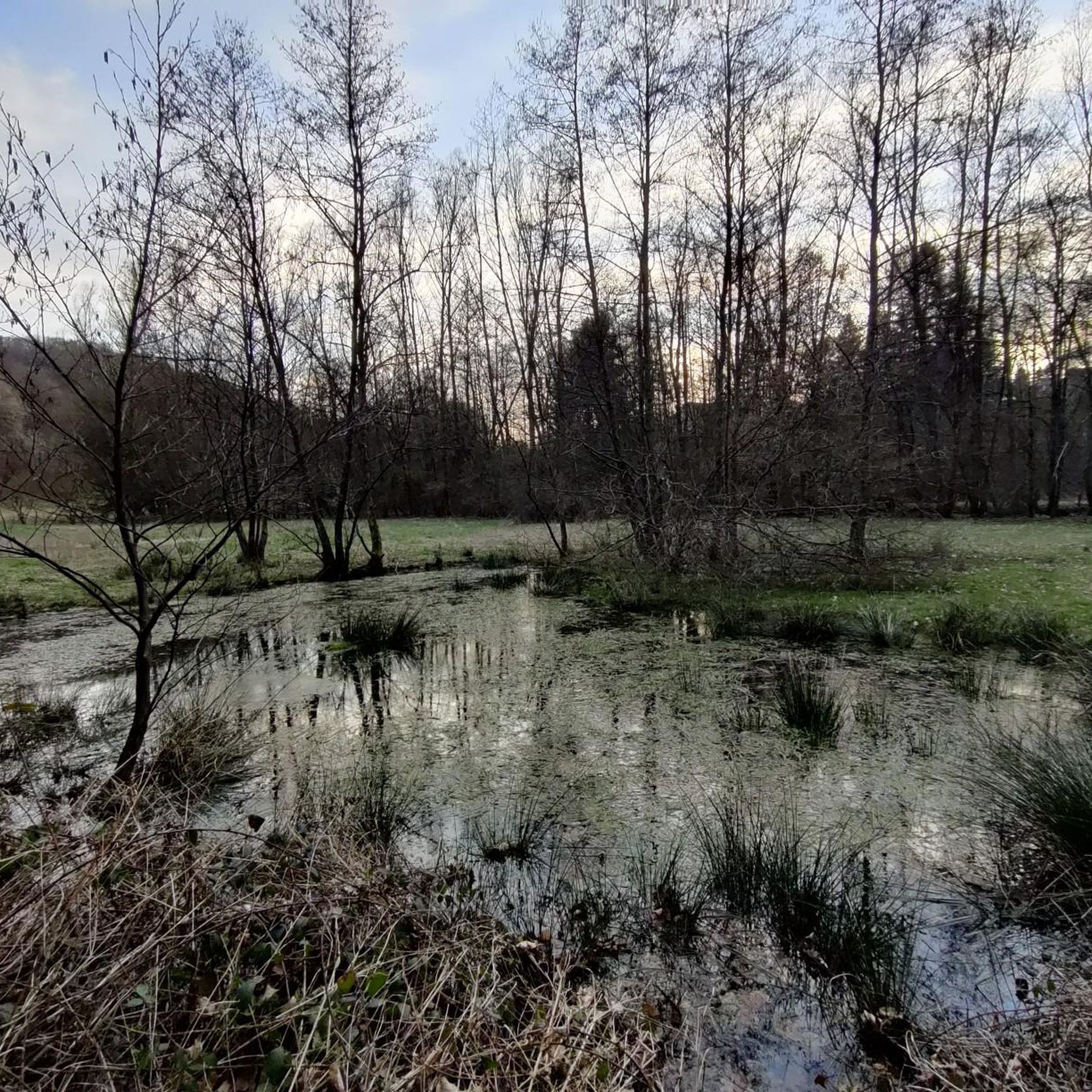
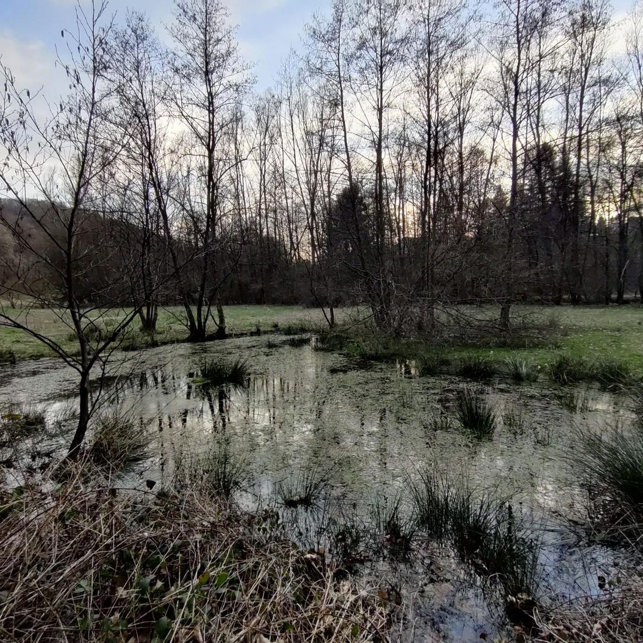
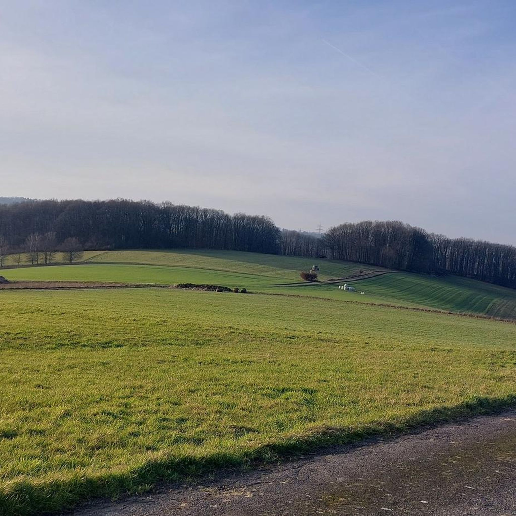
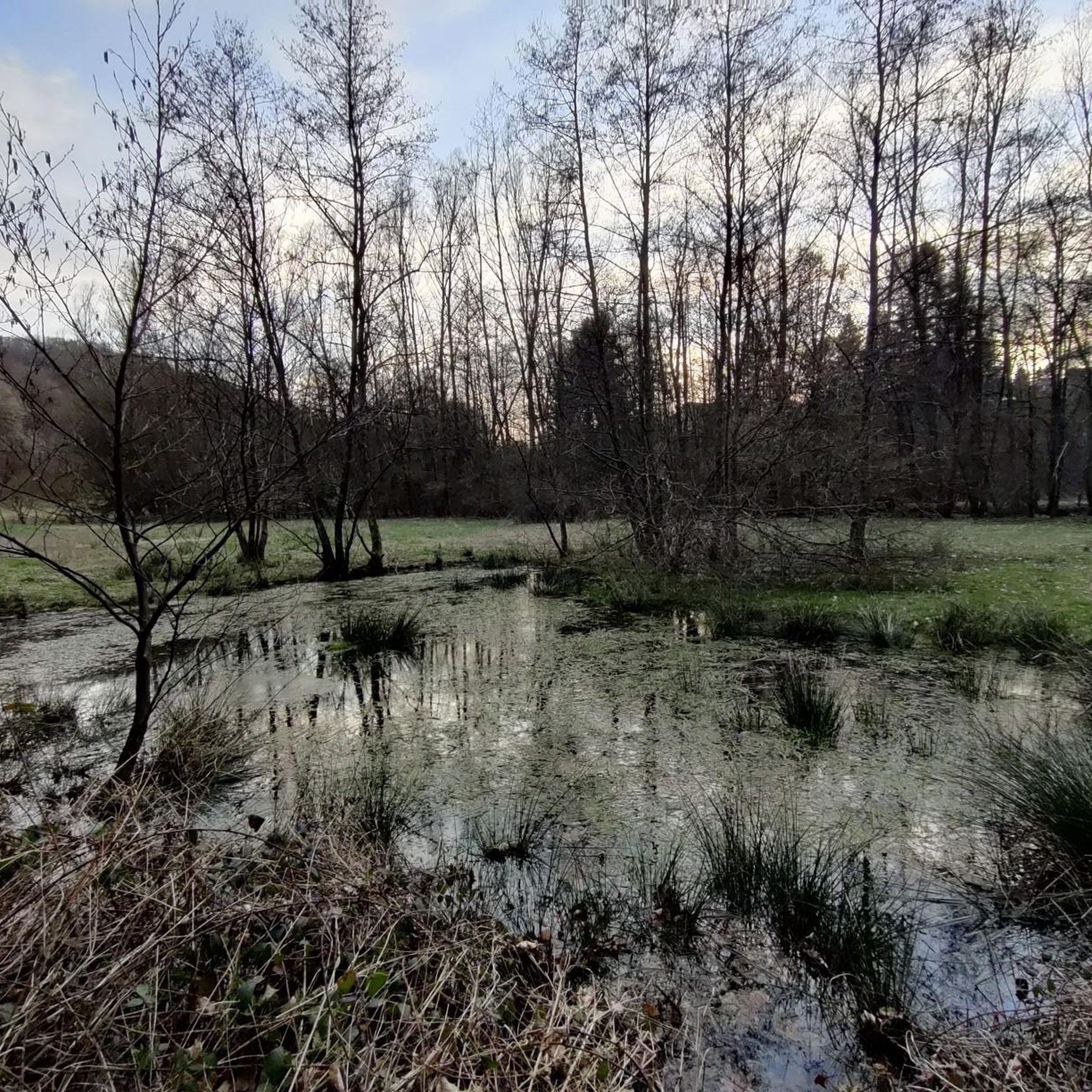
Tips from the Community

Former radar station and "fire control center" (IFC = Integrated Fire Control) for Nike Hercules, until the end of the 80s. From here, it was possible not only to a) detect and track aerial targets up to 500 km away, but from here, in an emergency, it would also have been possible to b) guide the 12.5m high Nike Hercules missiles, located 2km away - the current "Gut Ommeroth" - in the "launch area" (LA = Launch Area), in missile bunkers, which were equipped with conventional as well as ☢️ nuclear warheads (!), towards the target via radar. de.wikipedia.org/wiki/MIM-14_Nike_Hercules
1
0


The Hohe Schaden is not 988 m but only 388.2 m above sea level
0
0

Great view and then an interesting trail down to Bitze follows, but the climb is challenging without an e-bike
0
0

Why is the mountain called that?
0
0

If a peak has a name like that, then you have to go up there, right?
2
0

Anyone who has mastered the 177 steps up will be rewarded with a fantastic panoramic view.
5
0

180 steps for a great all-round view. On the railing of the viewing platform, the sights and towns are marked with a marker – funny and definitely helpful.
3
0
Frequently Asked Questions
What kind of elevated points and natural attractions can I expect to find around Niederirsen?
The Niederirsen area features gentle hills and dense forests rather than traditional towering mountain peaks. You'll discover elevated points, scenic viewpoints, and unique geological formations. These locations offer excellent opportunities for hiking and enjoying the region's natural beauty and distinct geography.
Where can I find the best panoramic views in the Niederirsen area?
For outstanding panoramic views, visit the Raiffeisen Tower on Beulskopf. This 35-meter high tower provides a fantastic all-round view, with sights and towns marked on the viewing platform's railing. Another excellent spot is the View from Hohes Wäldchen, which offers vistas towards the Siebengebirge and Westerwald.
Are there any significant geological features to explore near Niederirsen?
Yes, a notable geological marvel is the 'Blue Stone' Basalt Crater. This site features impressive basalt columns, which are remnants of ancient volcanic activity. It's a key highlight for hikers and offers a unique insight into the region's geological past.
Are there family-friendly trails or viewpoints around Niederirsen?
Many trails in the Niederirsen area are suitable for families, including the loop trail around the 'Blue Stone' Basalt Crater from Oberirsen, which is approximately 6.92 km with a 140m elevation gain and suitable for all fitness levels. The paths around the Raiffeisen Tower on Beulskopf are also generally easily accessible and suitable for all skill levels. The View from Hohes Wäldchen is also considered family-friendly.
What historical sites can I visit near the elevated points in Niederirsen?
You can visit the Windecks Gericht (Gallows Hill) Memorial. This historical site, once a high court, offers a peaceful atmosphere despite its past. It's located in a forest and features several-hundred-year-old oak trees, making it a destination for both hikers and history enthusiasts.
What outdoor activities, such as hiking or cycling, can I do near these elevated points?
The Niederirsen area is excellent for various outdoor activities. You can find numerous hiking trails, including easy loops like the 'Blue Stone' basalt crater from Oberirsen. For cycling, there are MTB trails and gravel biking routes available. Explore more options on the Easy hikes around Niederirsen, MTB Trails around Niederirsen, and Gravel biking around Niederirsen guide pages.
Are there any hidden gem viewpoints or lesser-known spots worth discovering?
The 'Weltende' Viewpoint is a hidden gem offering a grand view into the Nistertal (Nister Valley). The ascent to this spot is described as very beautiful and natural, with a fantastic view from the top. Good shoes and sure-footedness are recommended, especially in wet weather.
What do visitors enjoy most about the elevated points around Niederirsen?
Visitors particularly appreciate the rewarding views from spots like the Raiffeisen Tower on Beulskopf, especially on clear days. The unique geological features, such as the 'Blue Stone' Basalt Crater, also draw significant interest. The peaceful forest settings and diverse hiking opportunities are frequently highlighted by the komoot community.
What is the highest point in the immediate vicinity of Niederirsen?
The Hoher Schaden, at 388 meters, is the highest point of the municipality Eitorf and the Leuscheid forest area, offering significant prospects. Another high point is the View from Hohes Wäldchen, which stands at approximately 378 meters and is the highest point in the Nutscheid.
Are there any circular walks that include these elevated points?
Yes, there are several circular walks. For instance, a moderately challenging loop from Niederirsen, the Mittelirser Walzenmühle – Blue Stone Basalt Rocks, extends for about 9.59 km. The 'Alte Kohlstraße (Old Coal Road)' loop from Birkenbeul includes the Raiffeisen Tower on Beulskopf.
What should I know about accessibility for hiking trails in the region?
Many paths, especially those leading to the Raiffeisen Tower on Beulskopf, are generally easily accessible and suitable for all skill levels. However, for spots like the 'Weltende' Viewpoint, good shoes and sure-footedness are recommended, particularly in wet weather, due to natural and potentially uneven terrain.
Most popular attractions around Niederirsen

Get inspired with the komoot mobile app


Explore more
See even more amazing summits around Niederirsen with these guides:
