The best running trails around Niederirsen
4.4
(258)
2,876
runners
321
runs
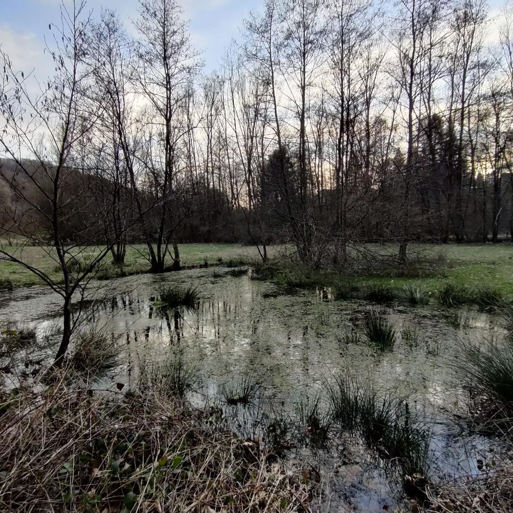
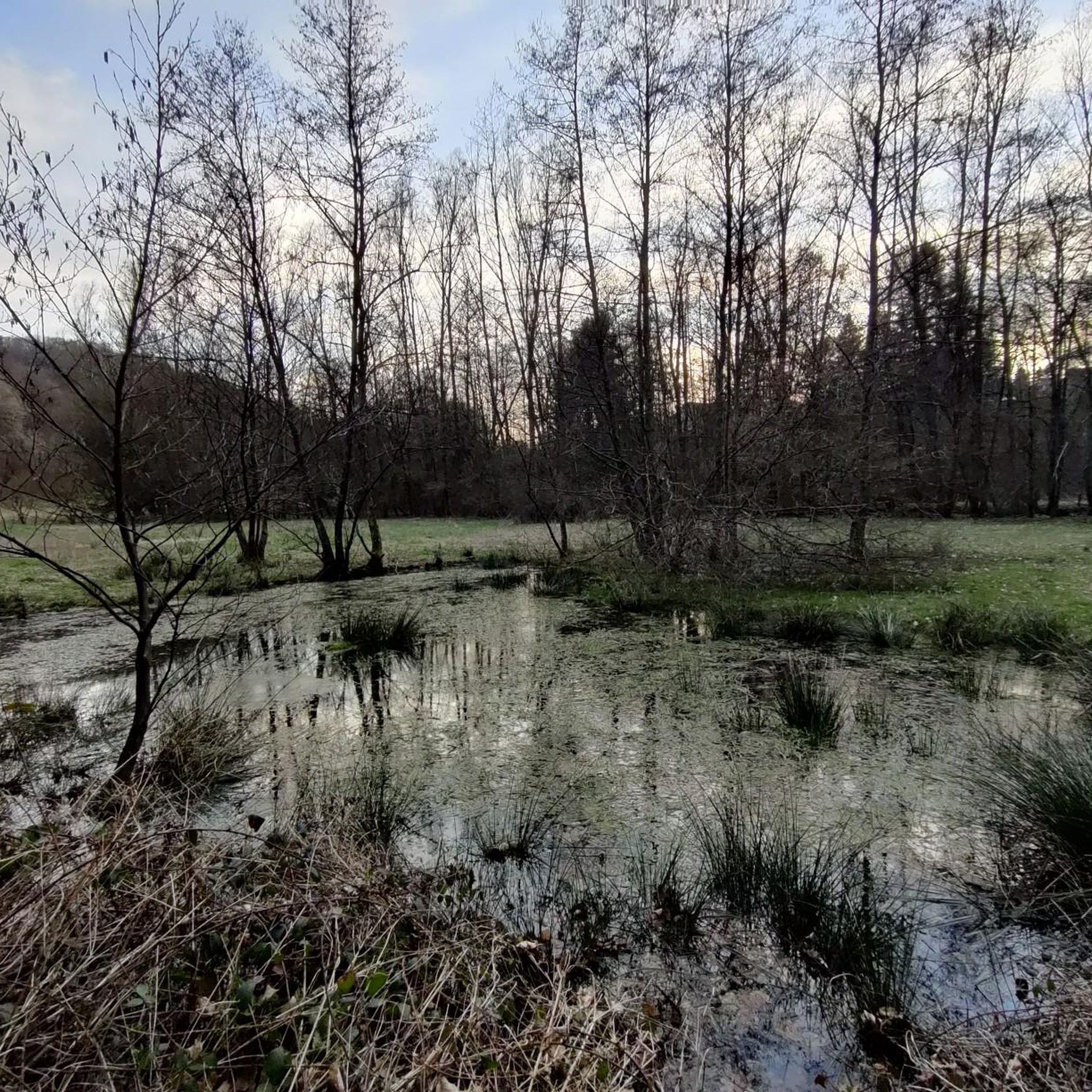
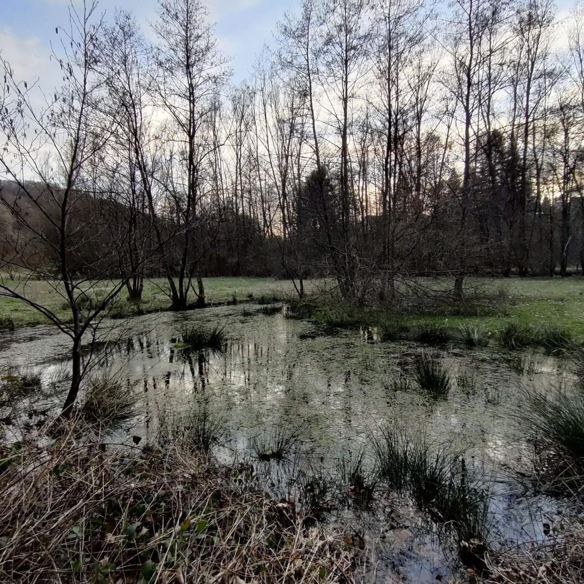
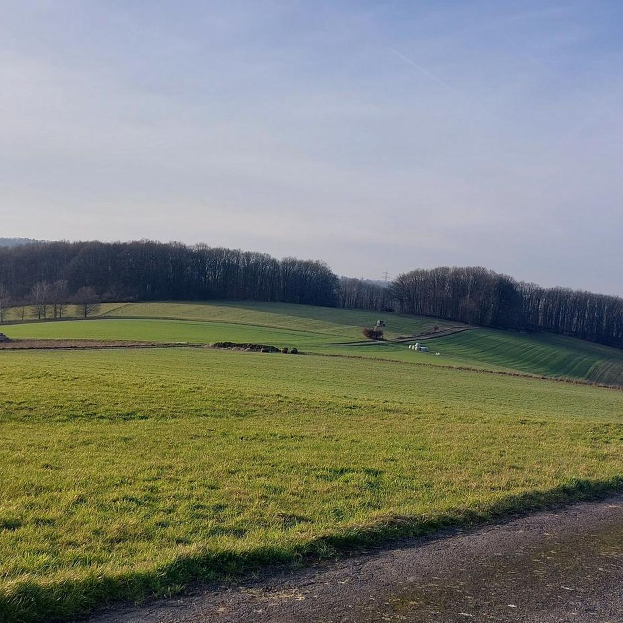
Jogging routes around Niederirsen offer a diverse environment for outdoor activity, characterized by a blend of natural monuments and varied landscapes. The region features rolling hills, dense forests, and river valleys like the Nister Valley, providing different levels of challenge and scenic backdrops for running. Water features such as the Sieg Waterfall and the Nister river add refreshing elements to the routes. These natural features create visually interesting trails, often on unpaved paths ideal for trail running.
Best jogging routes…
Last updated: October 5, 2026
5.0
(1)
54
runners
9.35km
00:58
40m
40m
Moderate run. Good fitness required. Mostly paved surfaces. Suitable for all skill levels.
10
runners
6.91km
00:44
100m
100m
Moderate run. Good fitness required. Mostly paved surfaces. Suitable for all skill levels.

2.0
(1)
14
runners
19.8km
02:05
150m
150m
Hard run. Very good fitness required. Mostly paved surfaces. Suitable for all skill levels.
5.0
(1)
10
runners
5.22km
00:34
90m
90m
Moderate run. Good fitness required. Mostly paved surfaces. Suitable for all skill levels.
6
runners
7.78km
00:50
100m
110m
Moderate run. Good fitness required. Mostly paved surfaces. Suitable for all skill levels.
Get access to more routes and recommendations from other explorers.
Already have an account?
Our route recommendations are based on thousands of hikes, rides, and runs completed by other people on komoot.
Start today with a free account
Your next adventure awaits.
Tips from the Community


For the Rhineland, with the cities of Bonn and Cologne, the Sieg offers a diverse recreational area. Here you can row, cycle and swim. The Sieg is a river that can be explored on and off the water. It rises in the middle of the forest and meanders for around 150 kilometers from Siegerland to Bonn, where it flows into the Rhine. Its name is derived from the Celtic word "Sikkere" and means something like "fast river."
0
0

Wow. What a route. You have to do it at least once
0
0

Beautiful cycle path with a great perspective of the railway bridge :)
2
0

Nice cycle path without annoying traffic.
0
0

In the past, the English metal goods factory Elmores used to pull copper pipes here. Today, a beer garden with a special flair awaits you right next to the Sieg waterfall. The ideal place for a break on your hike. The menu includes hearty dishes, and at weekends you will be greeted by the smell of Belgian waffles. You can find more information about the history of the site here: https://www.elmores.de.
3
1

The Sieg line runs from Cologne-Deutz to Siegen. It was put into operation in sections from 1859 to 1861, as the Deutz-Giessen Railway with a branch line from Betzdorf to Siegen. The route along the Sieg was structurally challenging and required many bridges and some tunnels to shorten the Sieg loops. More information: - https://de.wikipedia.org/wiki/Siegstrecke - https://de.wikipedia.org/wiki/Bahnstrecke_Deutz%E2%80%93Gie%C3%9Fen
3
0

Nice to look at and good for biking
4
0
Frequently Asked Questions
How many running routes are available in Niederirsen?
Niederirsen offers a wide selection of running routes, with over 280 trails available. These routes cater to various preferences, including easy, moderate, and difficult options.
What kind of terrain can I expect on running trails around Niederirsen?
The region around Niederirsen is characterized by diverse topography, including rolling hills, dense forests, and river valleys like the Nister Valley. You'll find a mix of natural, unpaved paths ideal for trail running, offering varied challenges and scenic backdrops.
Are there running routes with waterfalls in Niederirsen?
Yes, the area is known for its refreshing water features. You can find routes that pass by notable waterfalls such as the Sieg Waterfall (Siegfall) and Schladern Waterfall. A great example is the Sieg Waterfall (Siegfall) – Schladern Waterfall loop from Rosbach.
Can I find running trails with good views in Niederirsen?
Absolutely. The region boasts locations like the 'Weltende' which offer panoramic views of the Nister Valley. Routes such as the View into the Sieg valley loop from Hamm provide excellent vistas of the Sieg valley, rewarding runners with fantastic scenery.
Are there historical landmarks or attractions along the running paths?
Yes, historical sites add a cultural dimension to your run. You can discover landmarks like the Windeck Castle Ruins. While not always directly on a running path, they are often nearby and make for interesting destinations or points of interest during longer runs.
What are the difficulty levels of running routes in Niederirsen?
The running routes in Niederirsen cater to all abilities. Out of 285 routes, 35 are considered easy, 206 are moderate, and 44 are difficult, ensuring there's a suitable challenge for every runner.
Are there any circular running routes in Niederirsen?
Many of the running routes in Niederirsen are designed as loops, offering convenient circular paths. For instance, the Running loop from Hohegrete is a popular circular trail leading through varied terrain.
What do other runners enjoy the most about jogging in Niederirsen?
The running routes in Niederirsen are highly rated by the komoot community, with an average score of 4.5 stars from over 160 reviews. More than 2300 runners have explored the varied terrain, often praising the diverse landscapes, scenic views, and well-maintained paths that wind through forests and river valleys.
Are the running routes in Niederirsen suitable for families?
While specific family-friendly routes are not highlighted, the presence of easy and moderate trails, along with natural features like waterfalls and scenic views, suggests that many paths could be enjoyable for families. It's recommended to check individual route details for distance and elevation to ensure suitability for all family members.
Are there dog-friendly running trails in Niederirsen?
The natural environment of Niederirsen, with its forests and river valleys, generally lends itself to dog-friendly activities. While specific restrictions may apply in certain protected areas, many trails are suitable for running with dogs. Always ensure your dog is on a leash and follow local regulations.
What is the best season for running in Niederirsen?
The diverse natural beauty of Niederirsen makes it appealing for running throughout much of the year. Spring and autumn offer pleasant temperatures and vibrant scenery, while summer provides lush green landscapes. Winter conditions might require checking trail accessibility, especially in higher or more forested areas.
Are there long-distance running trails near Niederirsen?
Yes, for those seeking a longer challenge, routes like the Schladern Waterfall loop from Hohegrete cover nearly 20 kilometers, offering an extended running experience through the region's beautiful landscapes.
Most popular attractions around Niederirsen

Get inspired with the komoot mobile app


Explore more
Browse the best Running Trails & Routes in other regions.
