The best walks and hikes around gmina Nowy Staw
4.6
(98)
935
hikers
83
hikes
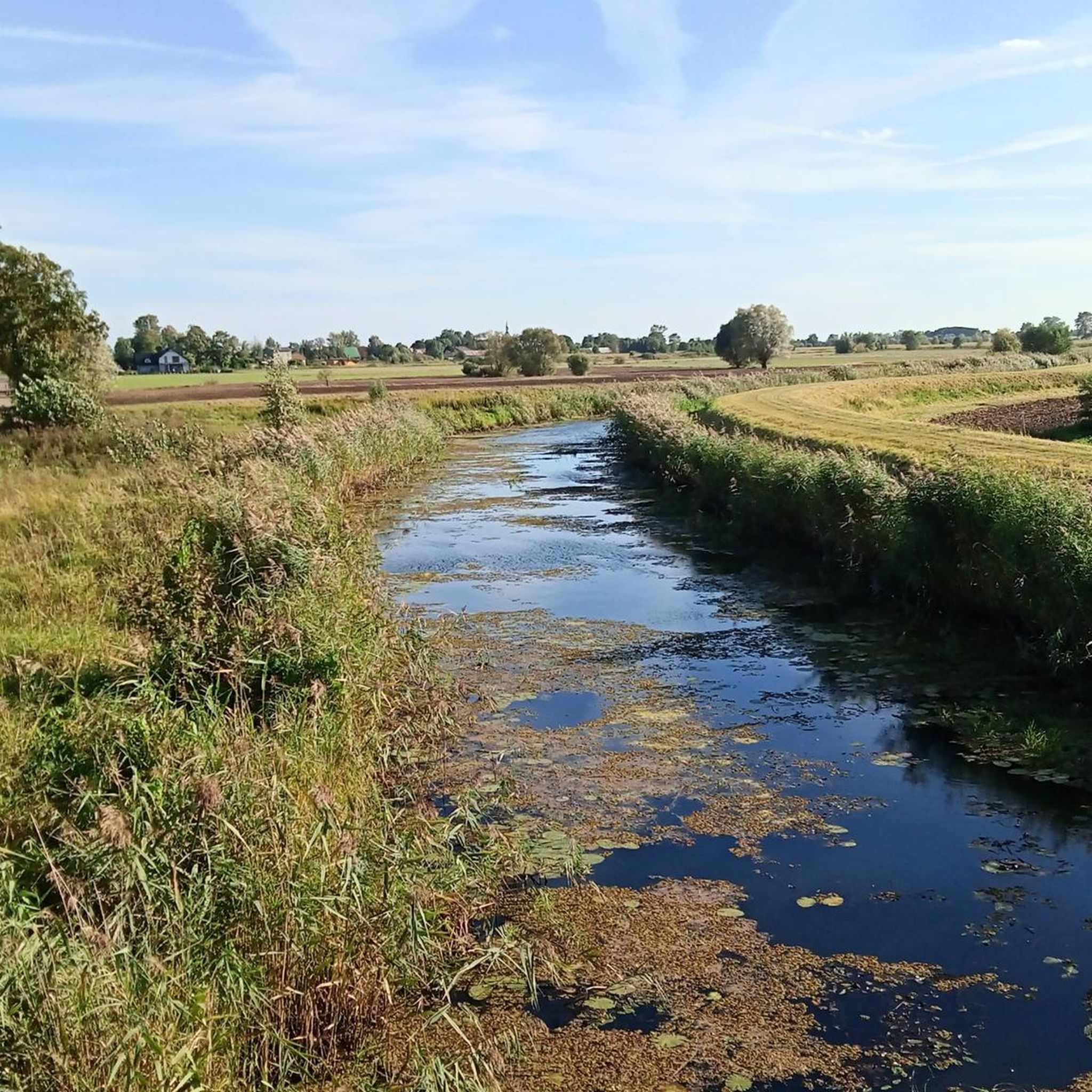
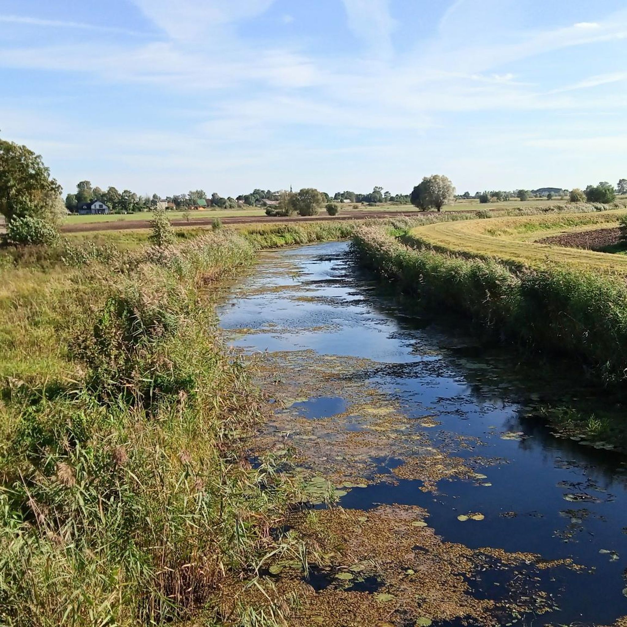
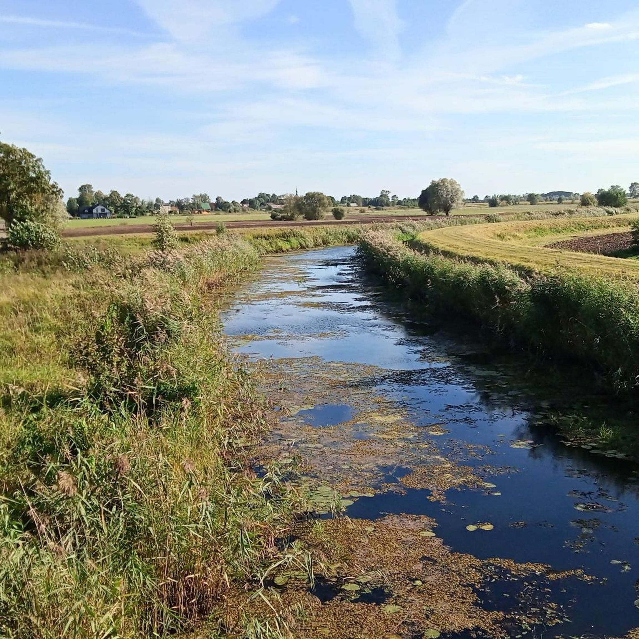
Hiking around gmina Nowy Staw offers accessible paths primarily characterized by low elevation changes and proximity to local historical sites. The terrain is generally flat, making it suitable for easy walks and family-friendly excursions. Routes often explore areas near the town of Malbork, including its castle and surrounding landscapes. The region provides a network of trails ideal for those seeking gentle outdoor activity.
Best hiking trails around gmina Nowy Staw
- The most popular hiking route is Little Knight loop from…
Last updated: July 8, 2026
4.7
(20)
157
hikers
3.10km
00:49
20m
20m
Easy hike. Great for any fitness level. Easily-accessible paths. Suitable for all skill levels.
5.0
(15)
72
hikers
7.45km
01:55
40m
40m
Easy hike. Great for any fitness level. Easily-accessible paths. Suitable for all skill levels.

Sign up for free
5.0
(3)
39
hikers
5.69km
01:27
20m
20m
Easy hike. Great for any fitness level. Easily-accessible paths. Suitable for all skill levels.
5.0
(1)
18
hikers
Easy hike. Great for any fitness level. Easily-accessible paths. Suitable for all skill levels.
5.0
(3)
20
hikers
Easy hike. Great for any fitness level. Easily-accessible paths. Suitable for all skill levels.
Get access to more routes and recommendations from other explorers.
Sign up for free
Already have an account?
Our route recommendations are based on thousands of hikes, rides, and runs completed by other people on komoot.
Start today with a free account
Your next adventure awaits.
Login or Signup

Tips from the Community

The St. Mary's Gate - Brama Mariacka - is one of the distinctive historical city gates of Malbork. Formerly known as the Ferry Gate, it connected the city to the south towards Marienwerder and Thorn. The Brick Gothic style is clearly recognizable, and the renovated complex today forms an atmospheric entrance to the old town. The gate is a short, rewarding stop and a quiet glimpse into the medieval city structure before continuing to the Malbork Castle or along the Nogat river.
2
0
The St. Adalbert Bridge (Most im. św. Wojciecha) spans the Nogat River and leads you with the very best panoramic views of Marienburg Castle to the largest brick castle in the world. It connects the modern promenade (Bulwar im. Macieja Kilarskiego) on the city side directly with the castle grounds.
2
0

Super view
2
0
Super great castle
3
0
Malbork station, opened in 1852 and later expanded in the Old German style, remains the most important gateway to the city and the famous Marienburg. The historic building survived World War II largely unscathed and was carefully renovated in 2010–2012, preserving its original appearance. Inside, decorative details and a pleasantly clear layout are noticeable. The station is an ideal starting point: good connections, short distances to the castle, and a fitting start for tours along the Nogat.
2
0

It was a place for representation, administration, and the private residence of a medieval prince, equipped with the highest living comforts of its time. This included central warm-air heating, water supply, and hidden servants' corridors.
2
0
Frequently Asked Questions
How many hiking trails are available in gmina Nowy Staw?
There are over 70 hiking trails around gmina Nowy Staw, offering a variety of options for different preferences. The komoot community has explored nearly 900 of these routes.
What kind of terrain can I expect on hikes around gmina Nowy Staw?
The terrain in gmina Nowy Staw is generally flat with low elevation changes. This makes most routes accessible and suitable for easy walks, focusing on local landscapes and historical sites rather than challenging ascents.
Are there many easy hiking routes in gmina Nowy Staw?
Yes, the majority of routes are easy. Out of 72 available trails, 59 are classified as easy, making the area ideal for beginners, families, or those seeking a gentle outdoor experience.
Are there any circular hiking routes in gmina Nowy Staw?
Yes, many routes in the area are circular. For example, the Little Knight loop from Malbork Kałdowo is an easy 2.3-mile (3.8 km) loop, and the Malbork Train Station – Little Knight loop from Malbork offers a longer 4.6-mile (7.4 km) circular path.
What are some family-friendly hiking options in gmina Nowy Staw?
Given the generally flat terrain and numerous easy routes, most trails in gmina Nowy Staw are family-friendly. The Marina – Knight's Trail with Legends loop from Malbork, at 3.1 miles (5.1 km), is a great option that combines accessible walking with local points of interest.
What attractions can I see along the hiking trails in gmina Nowy Staw?
Many trails offer proximity to historical sites and local landmarks. You can explore areas near the impressive Malbork Castle, walk along the Vistula River Embankment Cycle Path, or discover religious buildings like the Church of the Finding of the Holy Cross.
Are there any specific routes that offer views of Malbork Castle?
Yes, several routes provide views of Malbork Castle. The Little Knight – Outer wall of Malbork Castle loop from Malbork is an easy 2.2-mile (3.6 km) trail that specifically takes you along the castle's outer walls, offering excellent perspectives.
What do other hikers enjoy most about hiking in gmina Nowy Staw?
The area is highly rated by the komoot community, with an average score of 4.7 stars from over 70 reviews. Hikers often praise the accessible, flat paths, the historical context provided by nearby attractions, and the overall pleasant and gentle outdoor experience.
What is the typical duration for hikes in this region?
Hikes in gmina Nowy Staw vary in length, but many are designed for shorter excursions. For instance, the Little Knight loop from Malbork Kałdowo typically takes about 1 hour, while a longer option like the Marientor – Little Knight loop from Malbork can take around 1 hour 45 minutes.
Is gmina Nowy Staw suitable for winter hiking?
While the guide does not specify winter conditions, the generally flat terrain and low elevation changes suggest that many routes could be suitable for winter hiking, provided paths are clear of heavy snow and ice. Always check local weather conditions and trail reports before heading out in winter.
Are there any longer, yet still easy, hiking routes available?
Yes, for those looking for a longer walk without significant difficulty, the Malbork Train Station – Little Knight loop from Malbork is an excellent choice. This easy 4.6-mile (7.4 km) path leads through varied local landscapes, offering a more extended, gentle experience.
Most popular attractions around gmina Nowy Staw

Get inspired with the komoot mobile app


Explore more
Browse the best Hikes in other regions.
