The best walks and hikes around Serreta
4.5
(1019)
4,901
hikers
34
hikes
Hiking around Serreta, a civil parish on Terceira Island in the Azores, offers diverse natural landscapes shaped by volcanic activity. The region features lush, green environments, including crater lakes like Lagoinha, and dense forests. Trails often traverse areas such as the Natural Reserve of Serra de Santa Bárbara and Mistérios Negros, showcasing unique volcanic terrain and endemic flora. The westernmost part of the island, Ponta da Serreta, provides coastal views and opportunities to observe lava fields and marine birds.
Best hiking trails in Serreta
- The most popular hiking route is Serreta Trail, a 4.1 miles (6.6 km) trail that takes 2 hours 20 minutes to complete. This moderate route offers varied terrain through the island's interior.
- Another top favourite among local hikers is Raminho Viewpoint – Ponta do Raminho Viewpoint loop from Reserva Florestal de Recreio da Mata da Serreta, a difficult 10.5 miles (16.9 km) path. This route provides extensive views of the coastline and surrounding landscapes.
- Local hikers also love the Serreta Forest Trail loop from Serreta, a 4.9 miles (7.9 km) trail leading through forested areas, often completed in about 2 hours 40 minutes.
- Hiking around Serreta is defined by volcanic landscapes, endemic flora, crater lakes, and coastal views. The network offers options for different ability levels, from moderate forest paths to more challenging loops.
- The routes in Serreta are highly rated by the komoot community with an average score of 4.4 stars from more than 900 reviews. More than 4,500 hikers have used komoot to explore Serreta's varied terrain.
Last updated: July 7, 2026
4.6
(175)
791
hikers
6.63km
02:20
400m
400m
Hike the moderate 4.1-mile Serreta e Lagoinha circular route on Terceira Island, exploring dense forests and a volcanic lagoon.
4.4
(10)
60
hikers
7.90km
02:41
420m
410m
Moderate hike. Good fitness required. Easily-accessible paths. Suitable for all skill levels.

Sign up for free
4.7
(6)
39
hikers
14.4km
04:49
730m
730m
Moderate hike. Good fitness required. Easily-accessible paths. Suitable for all skill levels.
4.9
(7)
32
hikers
Moderate hike. Good fitness required. Easily-accessible paths. Suitable for all skill levels.
5.0
(1)
4
hikers
15.0km
04:58
700m
700m
Moderate hike. Good fitness required. Easily-accessible paths. Suitable for all skill levels.
Get access to more routes and recommendations from other explorers.
Sign up for free
Already have an account?
Our route recommendations are based on thousands of hikes, rides, and runs completed by other people on komoot.
Start today with a free account
Your next adventure awaits.
Login or Signup
Popular around Serreta
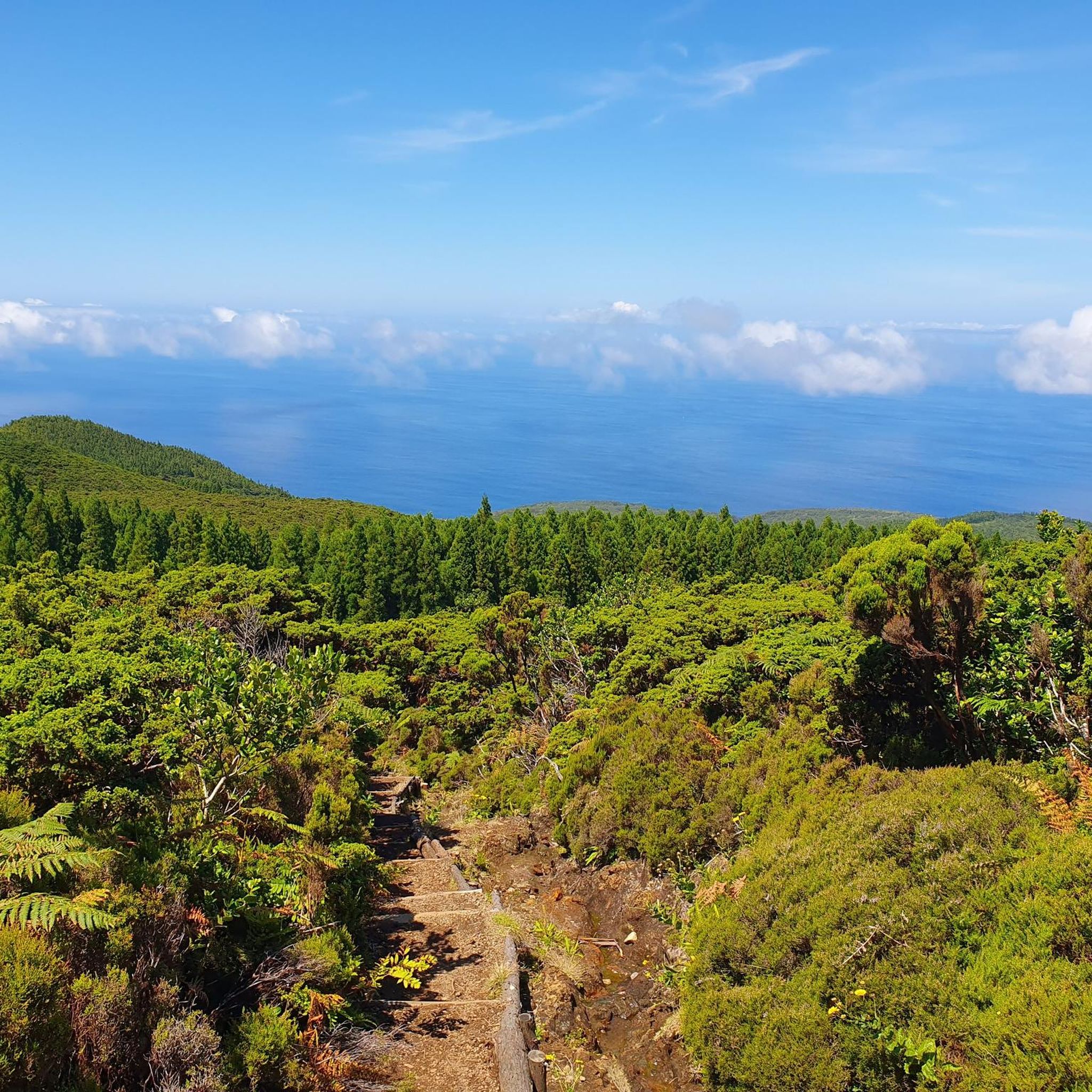
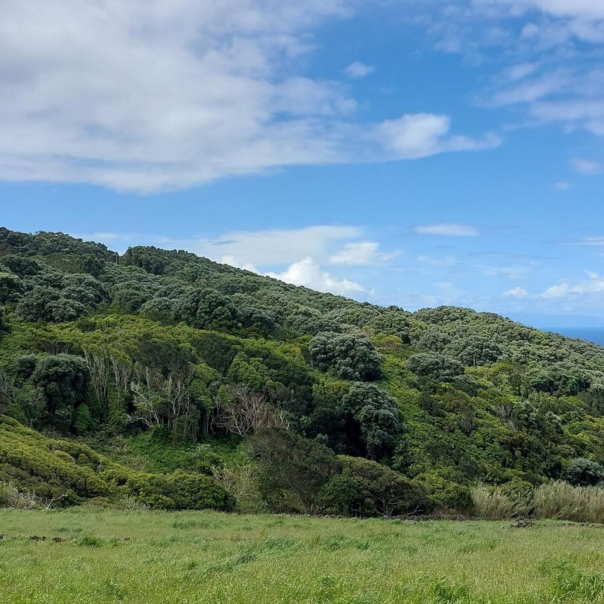
Tips from the Community

Turn off into the field beforehand and give it a wide berth. The view into the lava fissure is worthwhile; very impressive.
0
0

A worthwhile viewpoint in the northwest of Terceira. Fantastic views when the weather is good.
0
0

The name may not be extremely creative; the site, however, is highly inspiring. Lagoinha is located in a volcanic caldera at almost 800m altitude; thus making it one of the highest lagoons of all the islands in the archipelago. From this point it is possible to admire the entire landscape of abundant nature.
1
0
Small waterfall that runs along the trail that leads to Lagoinha. The vegetation of the Azores appears simultaneously equatorial and temperate, and this site is a witness to the biodiversity of Terceira.
1
0
Right at the beginning of the route that leads to Lagoinha is this nice stretch with a slightly different pavement. However, it is not just aesthetic: it helps a lot when the trail is slippery.
0
0


Spectacular view of the west coast of Terceira.
1
0
Frequently Asked Questions
What kind of terrain can I expect on Serreta's hiking trails?
Serreta's hiking trails offer a diverse range of terrain, shaped by the island's volcanic origins. You'll encounter lush, green environments, dense forests, and unique volcanic landscapes. Trails often traverse areas like the Natural Reserve of Serra de Santa Bárbara and Mistérios Negros, providing opportunities to see endemic flora and coastal views, especially towards Ponta da Serreta.
Are there hiking options for all skill levels in Serreta?
Yes, Serreta offers hiking options suitable for various skill levels. The komoot community has mapped over 30 routes, including 11 easy, 15 moderate, and 8 difficult trails. This variety ensures that both casual walkers and experienced hikers can find a suitable adventure.
How long do hikes in Serreta typically take?
Hikes in Serreta vary in length and duration. For example, the Serreta Trail is a moderate 6.6 km route that typically takes around 2 hours 20 minutes. Longer, more challenging routes like the Raminho Viewpoint – Ponta do Raminho Viewpoint loop can extend to 16.9 km, requiring over 5 hours to complete.
What natural features or landmarks can I see while hiking in Serreta?
While hiking in Serreta, you can discover several notable natural features. Highlights include the picturesque Lagoinha, a small crater lake surrounded by Azorean Laurel Forest. You might also encounter the unique volcanic landscapes of Mistérios Negros and the deep valley of Ribeira do Além. Coastal areas like Ponta da Serreta offer views of lava fields and the ocean. For specific points of interest, consider visiting the Lake of the Mistérios Negros or the Sulphur Furnaces.
Are there any viewpoints with scenic vistas in Serreta?
Yes, Serreta offers several stunning viewpoints. The Miradouro da Serreta provides beautiful vistas of the sea and the western coastline, with the possibility of seeing São Jorge and Graciosa islands on clear days. Many trails, such as the Raminho Viewpoint – Ponta do Raminho Viewpoint loop, are specifically designed to showcase extensive coastal and landscape views.
Are there any circular hiking routes in Serreta?
Yes, Serreta is home to several circular hiking routes. A well-known example is the PRC3TER Serreta, a medium-difficulty circular route approximately 6.8 km long. The Serreta Forest Trail loop from Serreta is another popular circular option, covering about 7.9 km through forested areas.
Is Serreta a good destination for family hiking?
Serreta can be a good destination for family hiking, especially with its dedicated recreational areas. The Mata da Serreta Forest Recreation Reserve was the first place on Terceira Island equipped with leisure infrastructure, featuring a children's play area, restrooms, and a shelter, making it a family-friendly spot amidst nature. There are also easy and moderate trails suitable for families.
Are dogs allowed on the hiking trails in Serreta?
While many natural areas in the Azores are generally dog-friendly, specific regulations can vary by trail or protected area. It's always recommended to keep dogs on a leash and ensure they do not disturb wildlife or other hikers. There is no specific information indicating restrictions on dogs for the general hiking trails in Serreta, but always check local signage.
Is there parking available at the trailheads in Serreta?
Yes, parking is generally available at or near popular trailheads and recreational areas in Serreta. The Mata da Serreta Forest Recreation Reserve, a key starting point for many routes, offers facilities including parking. For specific routes, it's advisable to check the route details on komoot for designated parking areas.
What do other hikers enjoy most about hiking in Serreta?
The hiking experience in Serreta is highly rated by the komoot community, with an average score of 4.4 stars from over 900 reviews. Hikers often praise the region's varied terrain, the lush volcanic landscapes, and the opportunities to discover unique endemic flora. The well-maintained trails and scenic viewpoints are also frequently highlighted as enjoyable aspects.
What is the best time of year to go hiking in Serreta?
The Azores generally have a mild climate year-round, making hiking possible in most seasons. However, for the most pleasant conditions, late spring to early autumn (May to October) typically offers warmer temperatures and less rainfall, which is ideal for exploring Serreta's trails and enjoying its coastal views. Always check the local weather forecast before heading out.
Are there any unique plants or wildlife I might encounter?
Serreta is rich in endemic flora, offering a chance to see species like Azorean Heather, Azores Juniper, Laurustinus, and Azorean Holly. The coastal areas, particularly Ponta da Serreta, are crucial breeding grounds for Cory's Shearwaters, the most abundant marine birds in the Azores. The forests also feature arboreal ferns and metrosíderos, contributing to a pleasant natural environment.
Most popular attractions around Serreta

Get inspired with the komoot mobile app


Explore more
Browse the best Hikes in other regions.
