The best cycling routes around Aguiar
4.7
(57)
287
riders
16
rides
Touring cycling routes around Aguiar often feature a mix of coastal paths, river valleys, and agricultural landscapes. The region is characterized by its proximity to the Atlantic coast, offering routes that traverse beaches and estuaries. Inland, routes follow river courses and pass through rural areas, with some elevation changes present. These paths provide varied terrain for touring cyclists.
Best touring cycling routes around Aguiar
- The most popular touring cycling route is Carreço Beach – Ecovia Litoral Norte 🚲 loop from…
Last updated: July 4, 2026
4.5
(27)
178
riders
97.6km
06:37
520m
520m
Hard bike ride. Very good fitness required. Mostly paved surfaces. Suitable for all skill levels.
4.0
(2)
27
riders
31.0km
02:11
230m
240m
Moderate bike ride. Good fitness required. Mostly paved surfaces. Suitable for all skill levels.

Sign up for free
5.0
(3)
27
riders
29.7km
01:48
250m
250m
Moderate bike ride. Good fitness required. Mostly paved surfaces. Suitable for all skill levels.
13
riders
59.3km
03:37
480m
480m
Hard bike ride. Very good fitness required. Mostly paved surfaces. Suitable for all skill levels.
7
riders
42.7km
02:41
460m
460m
Hard bike ride. Very good fitness required. Mostly paved surfaces. Suitable for all skill levels.
Get access to more routes and recommendations from other explorers.
Sign up for free
Already have an account?
Our route recommendations are based on thousands of hikes, rides, and runs completed by other people on komoot.
Start today with a free account
Your next adventure awaits.
Login or Signup
Tips from the Community

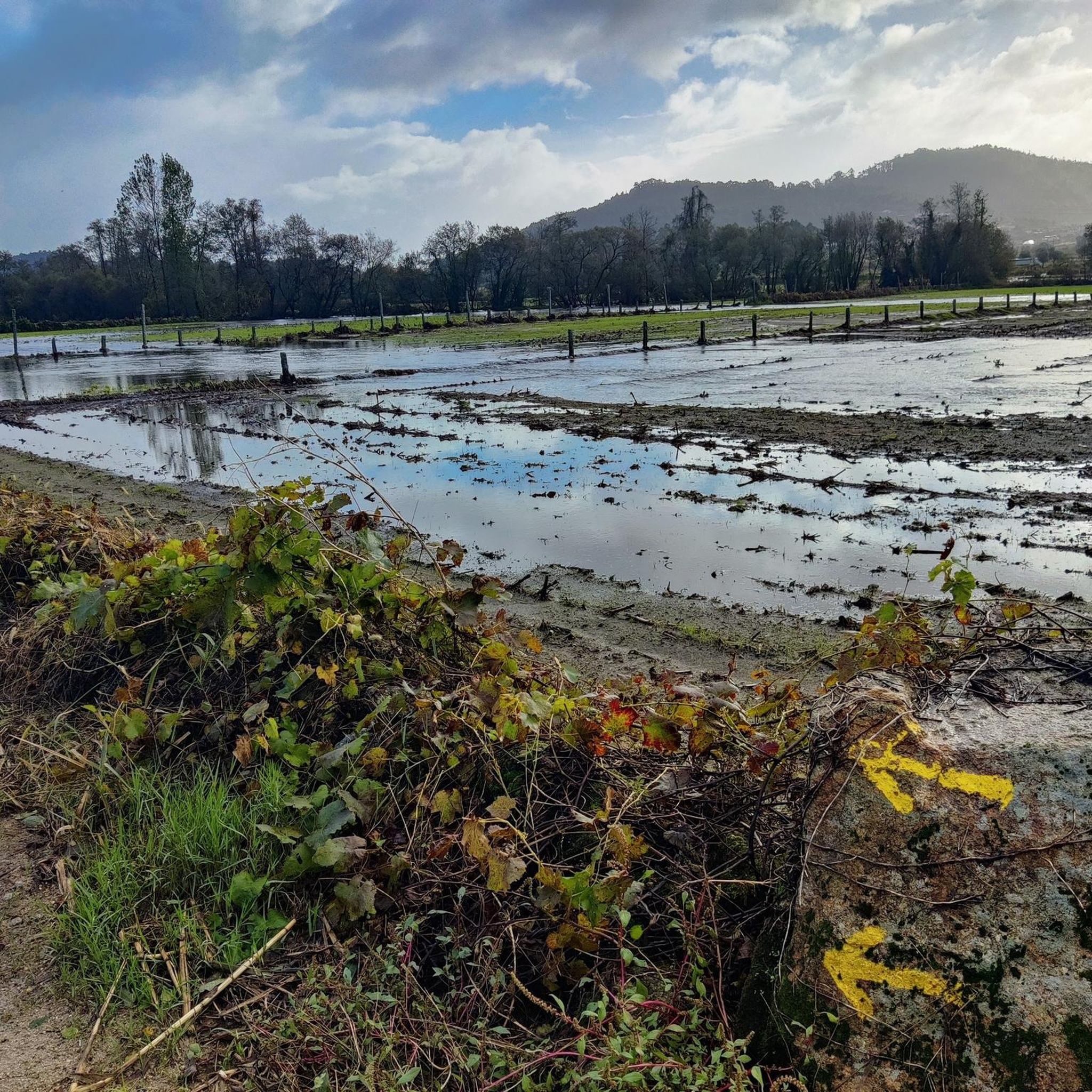
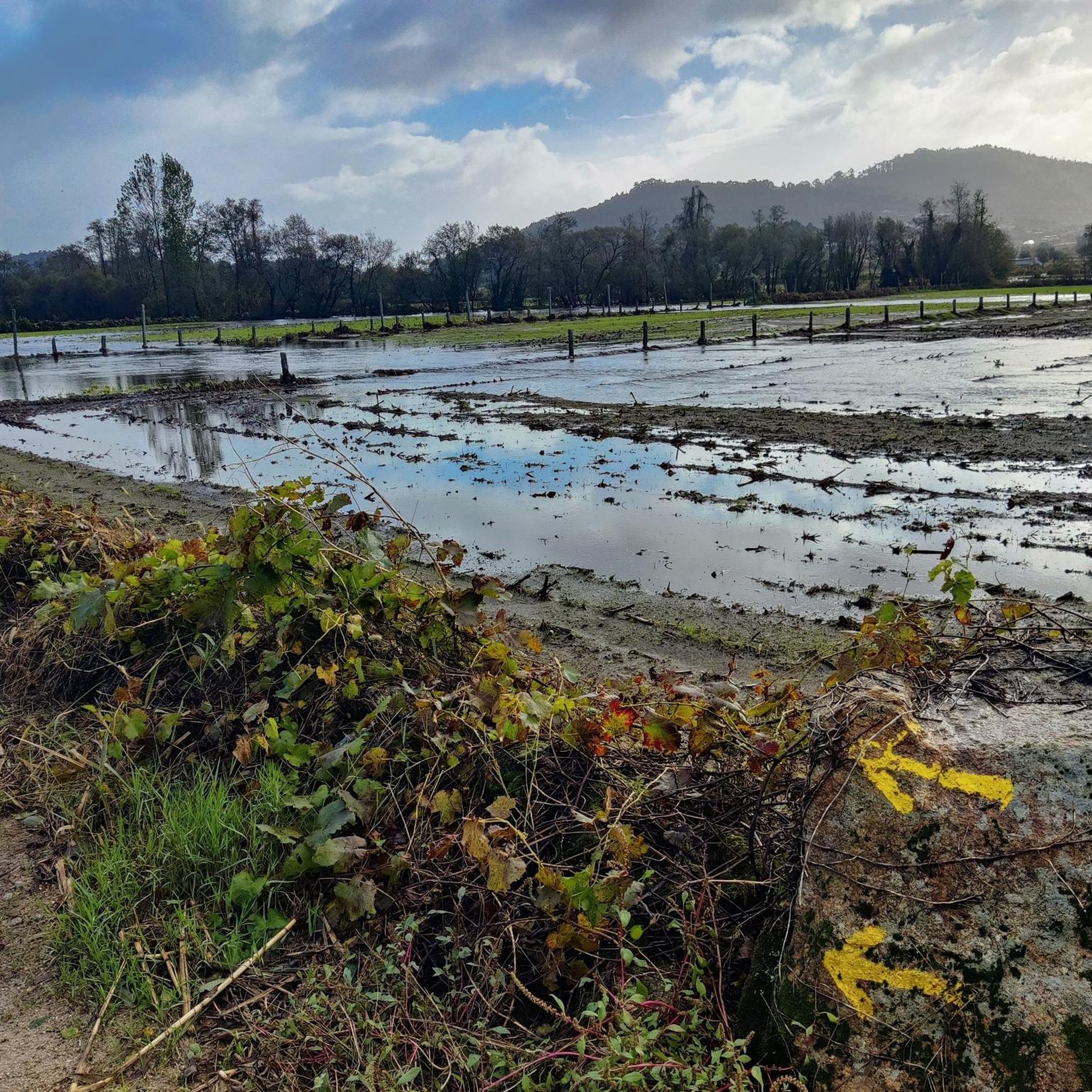
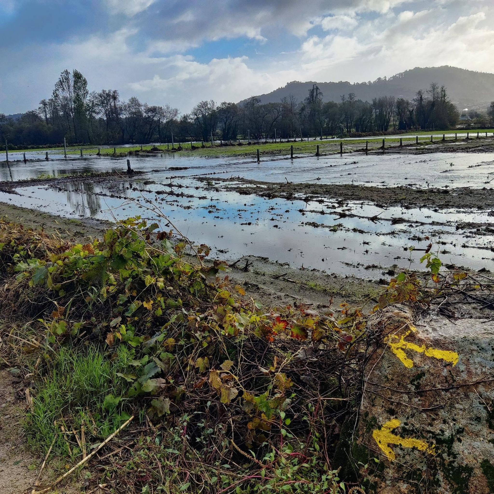
Easy ride condition when path is not impacted by rain
0
0

What to Expect Exhibitions: The museum has an exhibition room with various models of handcrafted boats, pieces of sacred art, and costumes related to local fishing life. Temporary exhibitions are frequently updated and related to maritime themes. Historical Building: The museum originated from the restoration project of the ESN building, which in itself is an attraction, also allowing the return of the shipwreck rescue service to the ground floor. Memory Tower: Climbing the tower of the building is worthwhile for panoramic views over the Cávado River estuary and the Esposende coast.
1
0
Practical Information Location: Maritime Rescue Station, Av. Eng. Eduardo Arantes e Oliveira 54, 4740-204 Esposende, Portugal. Contact: Phone: +351 253 964 836. Opening Hours (Winter, subject to change): Monday to Friday: 09:30–12:30, 14:00–17:30. Saturday and Sunday: Closed. Price: Ticket cost varies between €1.75 and €2.50. Website: More information is available on the official website of the Esposende Maritime Museum.
1
0
The Esposende Maritime Museum is housed in a historic building, the Shipwreck Rescue Station (ESN), at Avenida Eng. Eduardo Arantes e Oliveira, 54, in Esposende, Portugal. The museum preserves the memory of the local community's connection to the sea and fishing.
1
0
Key Information Location: Neiva River, on the border of the municipalities of Esposende and Viana do Castelo, Portugal. History: The original bridge was built in 1930 at the behest of the owner of a watermill and a fishing lodge that existed on the site at that time. Renovation: Over time, the bridge suffered damage due to the impact of fallen trees during storms. In 2020, the reconstruction of the bridge was announced, in a project financed in equal parts by the two neighboring municipalities. North Coast Ecovia: The stone bridge (reconstructed or restored) is part of a set of green infrastructures that make up the North Coast Ecovia, a pedestrian and cycle path that enhances the Neiva River estuary and connects the two municipalities, offering a bucolic and tranquil environment for walks. The bridge is a picturesque spot, frequently visited by those traveling along the ecovia, inviting a peaceful stroll and observation of the surrounding nature.
2
0
The Stone Bridge over the Neiva River, also known as Sebastião's Bridge, is a historic bridge that connects the banks of the Neiva River, serving as a border between the municipalities of Esposende (Antas parish) and Viana do Castelo (Castelo do Neiva parish), in Portugal.
2
0
Visit and Accessibility Access: Access to the site is free and open 24 hours a day. Trails and Hiking: The fort is part of the PR7 - Paçô Fort Trail, a pedestrian route that coincides with part of the Camino de Santiago da Costa and allows you to explore the area of the Viana do Castelo Coastal Geopark, passing through landscapes of dunes and cliffs. Beach: Paçô Beach, adjacent to the fort, is a beach with a wide sandy area and rock formations that form natural pools at low tide. Accessibility: There is wheelchair accessible parking nearby.
2
0
Main Characteristics Military Architecture: The fort was built for the purpose of defending the Atlantic coast against maritime attacks. It has a characteristic star-shaped plan and small dimensions. Location: It is located directly on the beach, a few meters from the sea, which can reach its walls during the winter. Its location offers scenic views of the coastline. Current State: The fort is currently in ruins, without functional rehabilitation, and it is not possible to enter the structure. However, the surrounding area is accessible for public visitation.
2
0
Frequently Asked Questions
How many touring cycling routes are available in Aguiar?
There are nearly 20 touring cycling routes around Aguiar, offering a variety of experiences from moderate to difficult. The komoot community has rated these routes highly, with an average score of 4.75 stars.
Are there any easy touring cycling routes for beginners in Aguiar?
While Aguiar's touring cycling routes are generally moderate to difficult, there are no routes specifically categorized as 'easy'. The region's terrain often includes elevation changes, even on coastal paths. Routes like Neiva River Mill – Antas Fishing Port loop from Antas offer a moderate challenge, exploring river valleys and coastal areas.
What are the typical distances and elevation gains for touring cycling routes in Aguiar?
Routes vary significantly. Moderate routes, such as the Jardim da Marina loop from Antas, cover around 29.7 km with about 250 meters of elevation gain. More difficult routes, like Carreço Beach – Ecovia Litoral Norte 🚲 loop from Alvarães, can extend to 98.2 km with over 500 meters of ascent.
Are there circular touring cycling routes in Aguiar?
Yes, many touring cycling routes in Aguiar are designed as loops, allowing you to start and end at the same point. Examples include the Carreço Beach – Ecovia Litoral Norte 🚲 loop from Alvarães and the Neiva River Mill – Antas Fishing Port loop from Antas.
What kind of attractions can I see along the touring cycling routes in Aguiar?
Aguiar's routes often feature a mix of natural beauty and historical landmarks. You might encounter the historic Stone Bridge over the Neiva River, explore parts of the Neiva River Trail, or pass by the charming Santa Cruz Chapel. Some routes also connect to dedicated paths like the Cycle path to Ponte de Lima.
What is the best season for touring cycling in Aguiar?
Given its proximity to the Atlantic coast, Aguiar generally offers pleasant cycling conditions for much of the year. Spring and autumn typically provide mild temperatures and less crowded paths. Summer can be warm, especially inland, while winter might bring more rain, though coastal routes can still be enjoyable on clear days.
Are there any touring cycling routes in Aguiar that are suitable for families?
While there are no routes specifically marked as 'easy' for very young children, families with older, more experienced cyclists might enjoy some of the moderate routes. The Parque Perez – Chapel of Saint Sebastian loop from Vila Boa is a moderate option that offers a scenic ride through varied landscapes.
Can I find viewpoints along the touring cycling routes in Aguiar?
Yes, many routes, especially those along the coast or through river valleys, offer scenic viewpoints. The region's mix of coastal paths and elevated sections provides opportunities for panoramic views of the Atlantic, river estuaries, and rural landscapes. For example, the Esposende Maritime Museum ⛵ – Marinhas ⛪🏘️ loop from Barroselas offers coastal vistas.
Are dogs allowed on touring cycling trails in Aguiar?
Many outdoor areas and trails in Aguiar are dog-friendly, especially those in natural settings. However, it's always best to keep dogs on a leash and be mindful of other users, particularly on shared paths. Specific restrictions might apply in protected areas or private properties, so check local signage.
What do other touring cyclists enjoy most about cycling in Aguiar?
The komoot community rates Aguiar's touring cycling routes very highly, with an average of 4.75 stars. Reviewers often praise the diverse scenery, which includes coastal paths, river valleys, and rural roads, as well as the well-maintained trails that offer a good mix of moderate and challenging rides.
Are there any hidden gem touring cycling routes in Aguiar?
While the most popular routes are well-known, exploring the less-trafficked sections of the Neiva River valley or the quieter rural roads can reveal hidden gems. The Neiva River Mill – Antas Fishing Port loop from Antas, for instance, offers a blend of river and coastal exploration that feels authentic to the region.
Most popular routes around Aguiar
Most popular attractions around Aguiar

Get inspired with the komoot mobile app


Explore more
Browse the best Cycling routes in other regions.
