The best mountain hikes around Funchal (São Pedro)
4.9
(46)
321
hikers
4
hikes
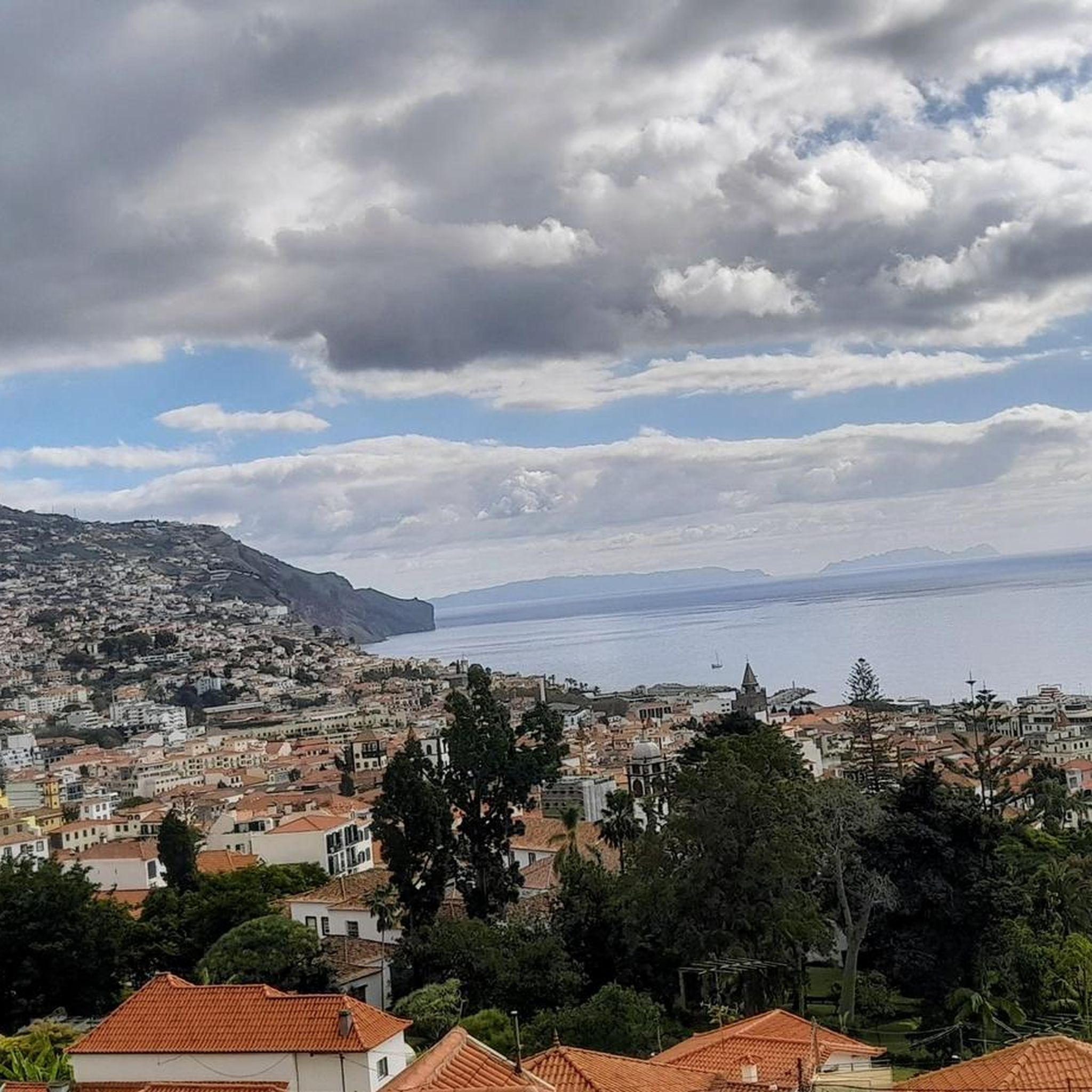
Mountaineering routes around Funchal (São Pedro) traverse a landscape characterized by dramatic mountain ridges, deep valleys, and elevated viewpoints. The terrain often features significant elevation changes, leading to panoramic vistas across the region. These routes frequently explore areas around prominent peaks and offer varied challenges for mountaineers.
Best mountaineering routes around Funchal (São Pedro)
- The most popular mountaineering route is Mountaineering loop from Boca da Corrida, a 4.6 miles (7.5 km) trail that takes 3 hours 26 minutes to…
Last updated: July 17, 2026
4.9
(18)
106
hikers
9.20km
04:42
750m
760m
Hard mountaineering route. Good fitness required. Sure-footedness, sturdy shoes and alpine experience required.
4.8
(13)
104
hikers
3.97km
01:39
250m
250m
Hard mountaineering route. Great for any fitness level. Sure-footedness, sturdy shoes and alpine experience required.

Sign up for free
5.0
(2)
21
hikers
7.15km
02:39
380m
380m
Hard mountaineering route. Good fitness required. Sure-footedness, sturdy shoes and alpine experience required.
4.8
(5)
24
hikers
Moderate mountaineering route. Good fitness required. Easily-accessible paths. Suitable for all skill levels.
5.0
(1)
9
hikers
7.82km
03:03
450m
450m
Hard mountaineering route. Good fitness required. Sure-footedness, sturdy shoes and alpine experience required.
Our route recommendations are based on thousands of hikes, rides, and runs completed by other people on komoot.
Start today with a free account
Your next adventure awaits.
Login or Signup
Tips from the Community

A good parking lot for hikes with still pleasant parking fees. You can also drive up to the summit, but there you can only park for 1 hour at double the parking fee compared
0
0

Breathtaking views from the hiking trail. Fortunately, ropes are attached to the boundary posts, which many hikers gladly use. Whether going uphill or downhill, they simply provide a sense of security.
7
0
This viewpoint is also worth seeing for sunrise. However, the path from the parking lot at Rio Arieiro to the start of the Ninho da Manta trail was completely icy when we were there. It only became passable once the sun thawed the ice.
5
0

Magnificent views of the surrounding mountains. A nice little hike to get there.
0
0

A sensationally beautiful hike to Pico Grande, not from Curral das Freiras but from Jardim da Serra. Parking is at the Miradouro Boca da Corrida. The last kilometer is a cobblestone road, but it's wide and well-maintained. From there, with good footwear, the walk continues for an hour along the ridge without any major climbs, offering wonderful and easy views of the mountains, the Nuns' Valley, and the Donkeys' Valley (Serra de Auga). Starting at the second hour, the climb to Pico Grande begins. Areeiro is fantastic, Grande is Grande!
0
0
The road to Ruivo is still closed (09/2025)
0
0
Most beautiful mountain tour on Madeira
0
0

The Pedra Rija viewpoint is located approximately 1.2 km from the starting point at Pico do Areeiro. Shortly after this point, the impressive stairway begins, characterized by steps carved into the rock and narrow paths. This section offers breathtaking views of the surrounding mountain landscape and is a highlight of the hike.
1
0
Frequently Asked Questions
How many mountaineering routes are available in Funchal (São Pedro)?
There are 5 distinct mountaineering routes around Funchal (São Pedro) featured in this guide, offering a range of challenges for different skill levels.
Are there any moderate mountaineering routes in the area?
Yes, for those seeking a moderate challenge, the View of Curral das Freiras – Eira do Serrado Viewpoint loop from Nuns Valley is a great option. It's 4.1 miles (6.6 km) long and offers scenic overlooks of the Curral das Freiras valley.
What are the typical distances and elevation gains for these routes?
The mountaineering routes in Funchal (São Pedro) vary in length from approximately 2.3 miles (3.7 km) to 4.9 miles (7.8 km). Elevation gains typically range from around 240 meters to over 500 meters, reflecting the challenging mountain terrain.
Are there circular mountaineering routes available?
Yes, all the featured mountaineering routes in this guide are circular loops. For example, you can explore the Mountaineering loop from Boca da Corrida, which is 4.6 miles (7.5 km) with expansive mountain views.
What kind of viewpoints can I expect along the trails?
Many routes offer stunning panoramic viewpoints. The View of Curral das Freiras – Eira do Serrado Viewpoint loop from Nuns Valley provides scenic overlooks of the Curral das Freiras valley. Another option is the Ninho da Manta Viewpoint – Pedra Rija Viewpoint loop from Areeiro, which takes you through high mountain terrain with impressive vistas.
Are there any waterfalls or caves to explore near the mountaineering routes?
Yes, the region around Funchal (São Pedro) is rich in natural attractions. You can find beautiful waterfalls like the Waterfall Along Levada do Norte or the Mossy Waterfall in Madeira Natural Park. For caves, consider visiting the Cave Tunnel to the Beach or the Levada do Norte Tunnel under Cruz da Caldeira.
What do other mountaineers enjoy most about the routes in Funchal (São Pedro)?
The komoot community highly rates these routes, with an average score of 4.8 stars from over 40 reviews. Mountaineers frequently praise the challenging mountain loops, elevated viewpoints, and the varied terrain that offers significant ascents and rewarding vistas.
Are there less crowded options for mountaineering?
While popular routes like those around Pico do Arieiro can see more visitors, exploring routes during off-peak hours or seasons can offer a more tranquil experience. The Pico do Arieiro – Ninho da Manta Viewpoint loop from Areeiro is a shorter, challenging option that might offer quieter moments.
What is the best time of year for mountaineering in Funchal (São Pedro)?
Madeira generally enjoys a mild climate year-round. However, for mountaineering, spring (April-June) and autumn (September-November) often provide the most pleasant conditions with stable weather and comfortable temperatures. Always check local weather forecasts before heading out, especially for higher elevations.
Is public transport available to reach the trailheads?
Public transport options, primarily buses, connect Funchal to various parts of the island. Some trailheads, especially those in more populated areas or near major attractions, may be accessible by bus. It's advisable to check local bus schedules and routes for specific trailhead access points.
Where can I park for these mountaineering routes?
Parking availability varies by trailhead. Popular starting points like Areeiro or Boca da Corrida often have designated parking areas, though they can fill up quickly during peak times. For routes starting in more remote locations, roadside parking might be an option, but always ensure you park legally and safely without obstructing traffic or access.
Are these mountaineering routes suitable for families?
The routes in this guide are generally rated as moderate to difficult, involving significant elevation changes and rugged terrain. While some adventurous families with older, experienced children might manage the moderate route, most are better suited for adults or highly fit teenagers. For easier family-friendly walks, consider exploring other hiking guides on komoot.
Most popular routes around Funchal (São Pedro)
Most popular attractions around Funchal (São Pedro)

Get inspired with the komoot mobile app


Explore more
Browse the best Mountain Hikes & Routes in other regions.
