Top 5 Mountain Passes around São Vicente
Best mountain passes around São Vicente are characterized by challenging trails and panoramic views. The island's mountainous terrain offers diverse hiking experiences, from high-altitude routes to paths through lush forests. These passes often connect dramatic landscapes, providing vistas of deep valleys and coastal areas. The region is known for its unique natural formations and varied hiking conditions.
Best mountain passes around São Vicente
- The most popular mountain passes is Vereda da Encumeada, a trail that offers scenic views along…
Last updated: October 13, 2026
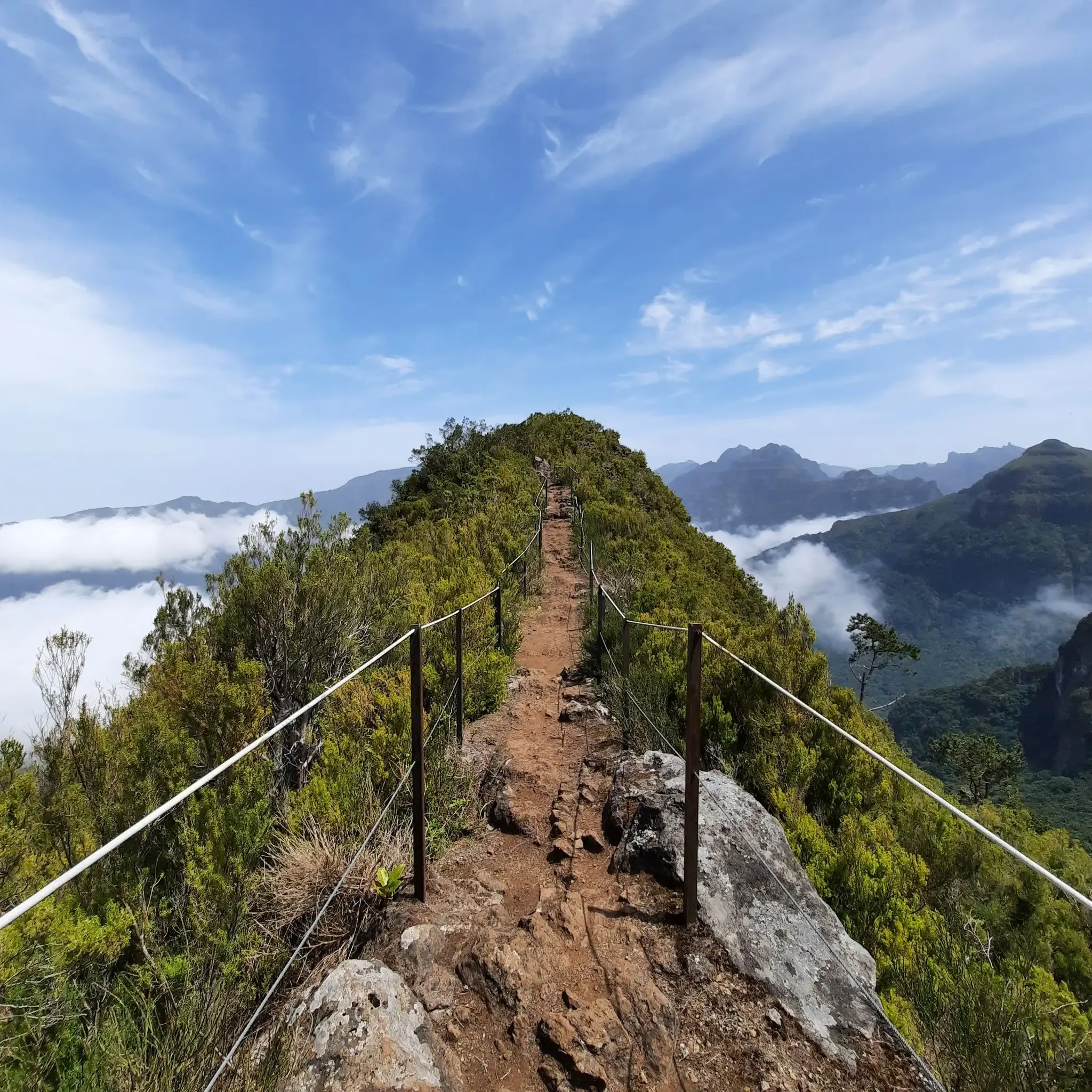
Cabeça do Urso
Highlight • Trail
Translated by Google •
Tip by

Vereda da Encumeada
Highlight • Trail
Translated by Google •
Tip by

Sign up now to discover places like this
Get recommendations on the best single tracks, peaks, & plenty of other exciting outdoor places.
Saddle
Highlight • Mountain Pass
Translated by Google •
Tip by

View of São Vicente and Ribeira Brava
Highlight • Viewpoint
Translated by Google •
Tip by
Boca das Torrinhas
Highlight • Mountain Pass
Translated by Google •
Tip by

Sign up for free to discover even more mountain passes around São Vicente.
Already have an account?
Start today with a free account
Your next adventure awaits.
Popular around São Vicente
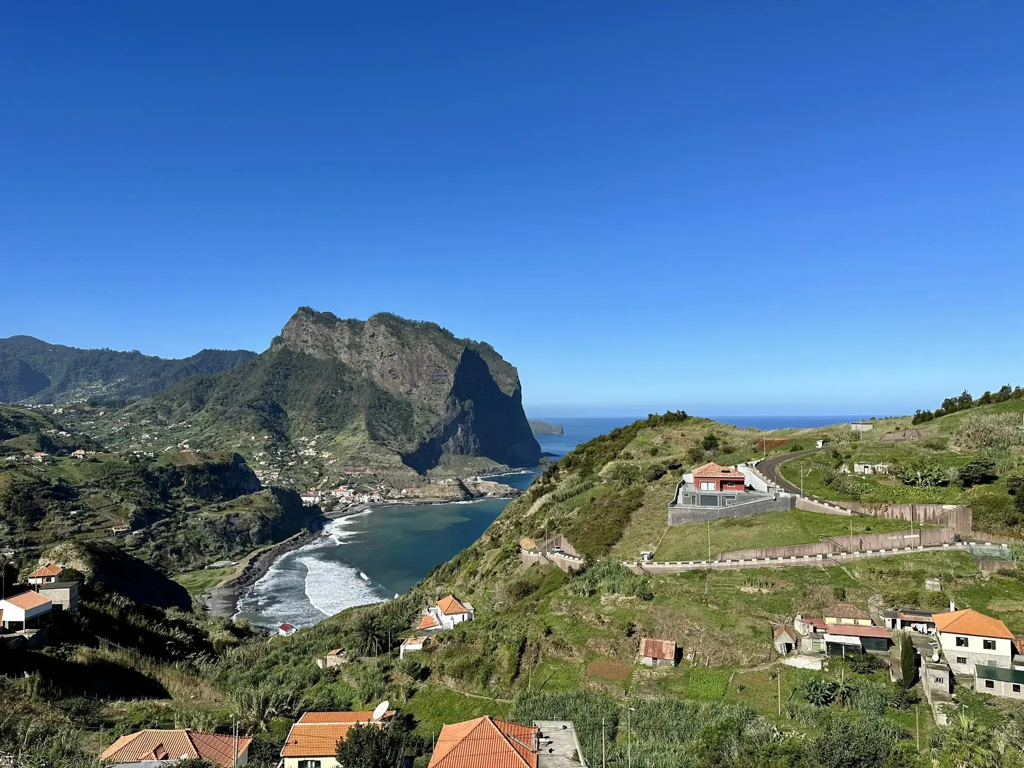
Madeira Island Ultra-Trail – A unique challenge
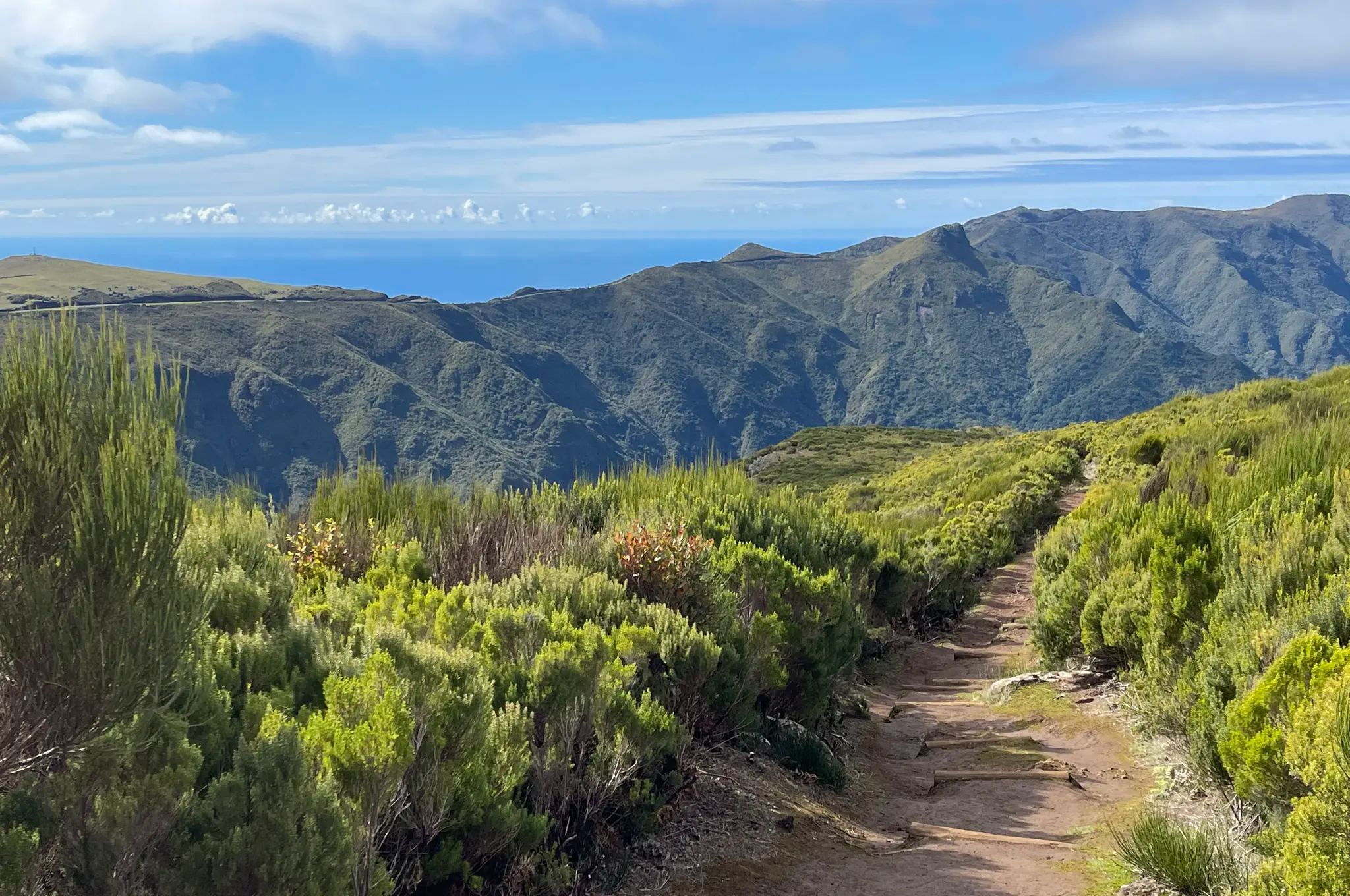
Island of eternal spring – hiking in Madeira
Do mar às nuvens – o Madeira Island Ultra-Trail em 4 etapas
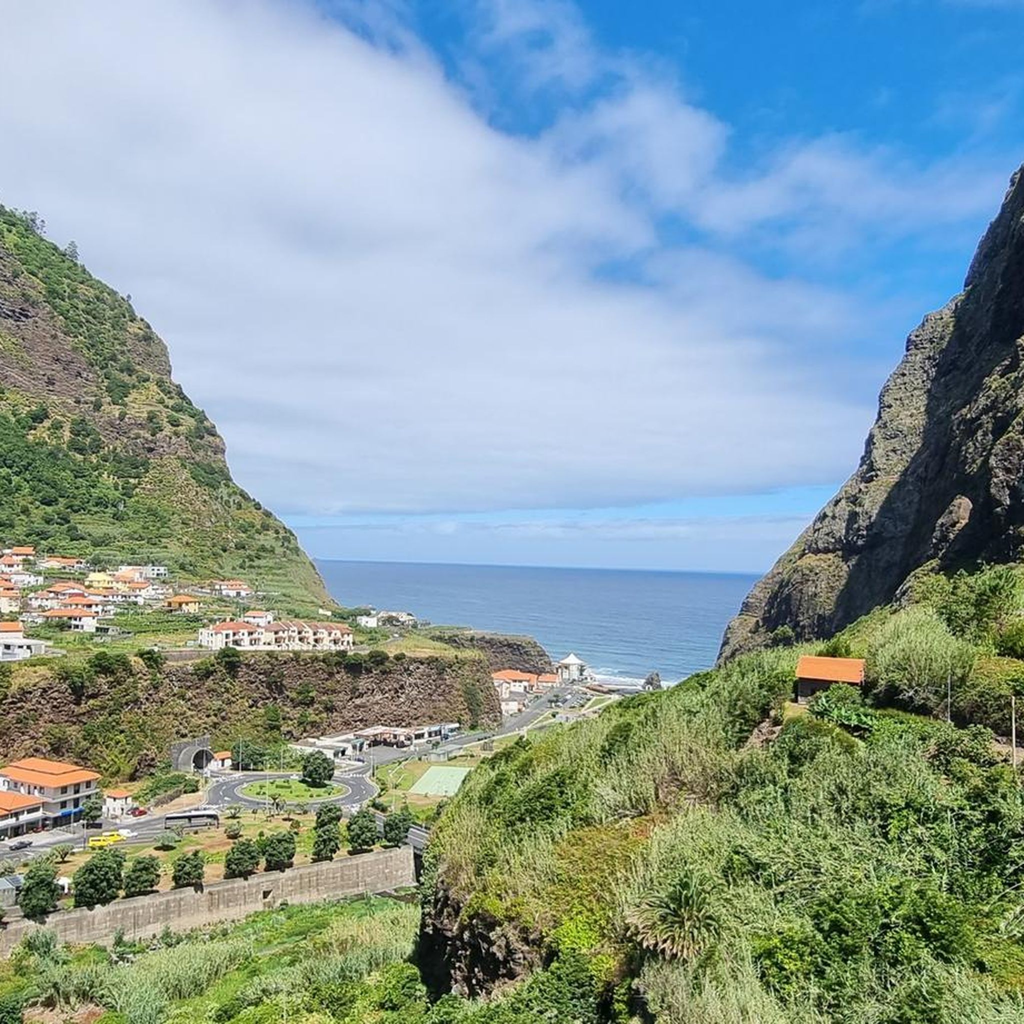
Hiking around São Vicente
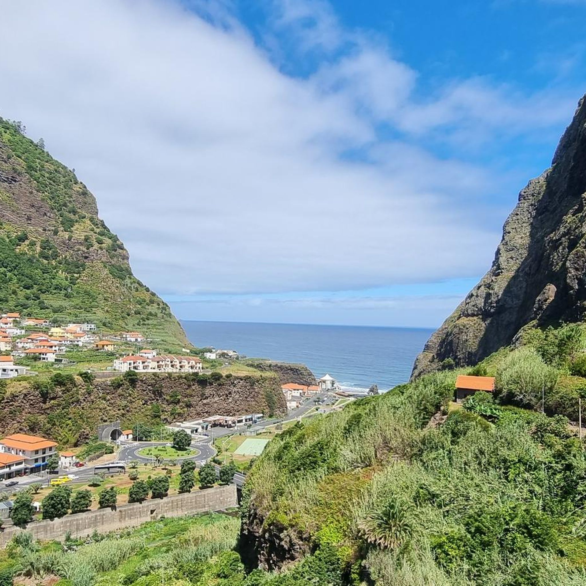
Running Trails around São Vicente
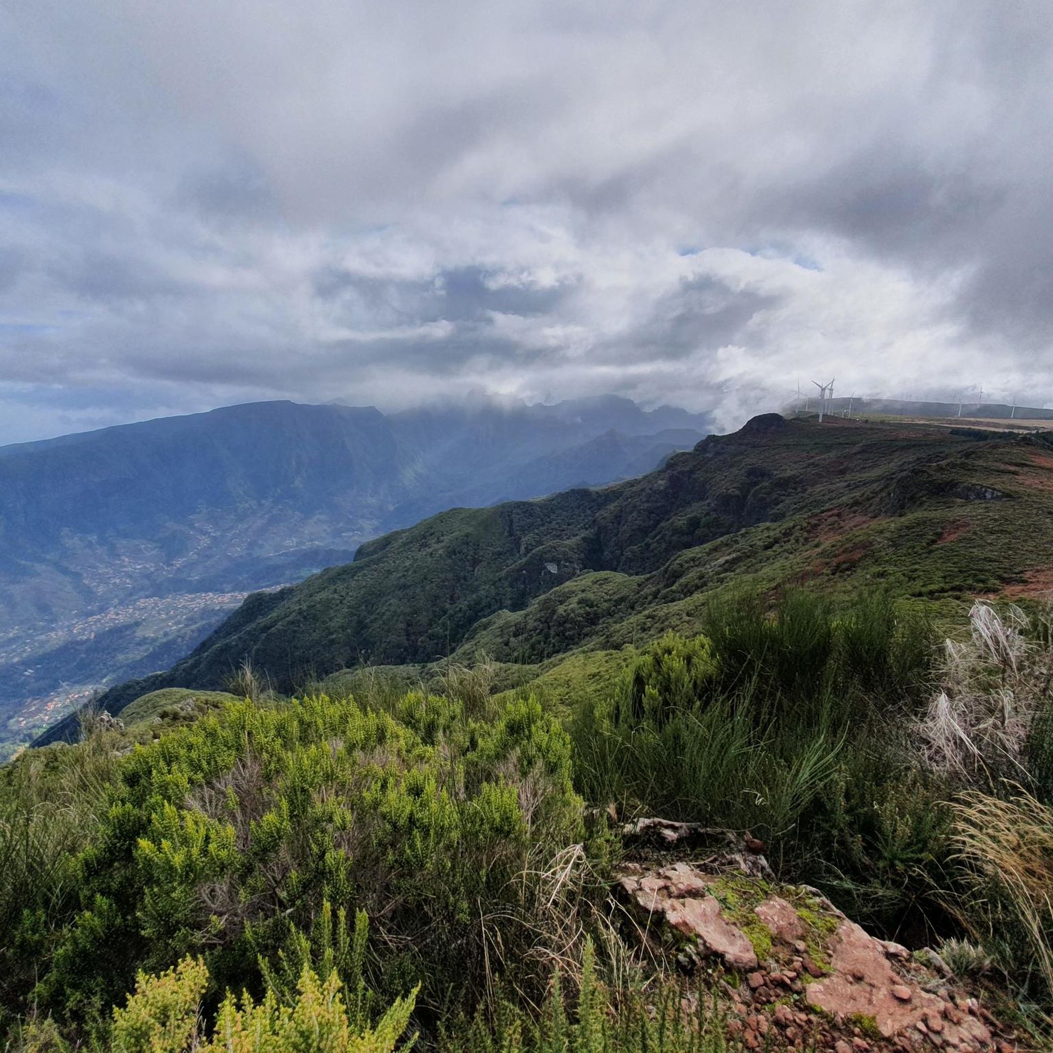
Cycling around São Vicente
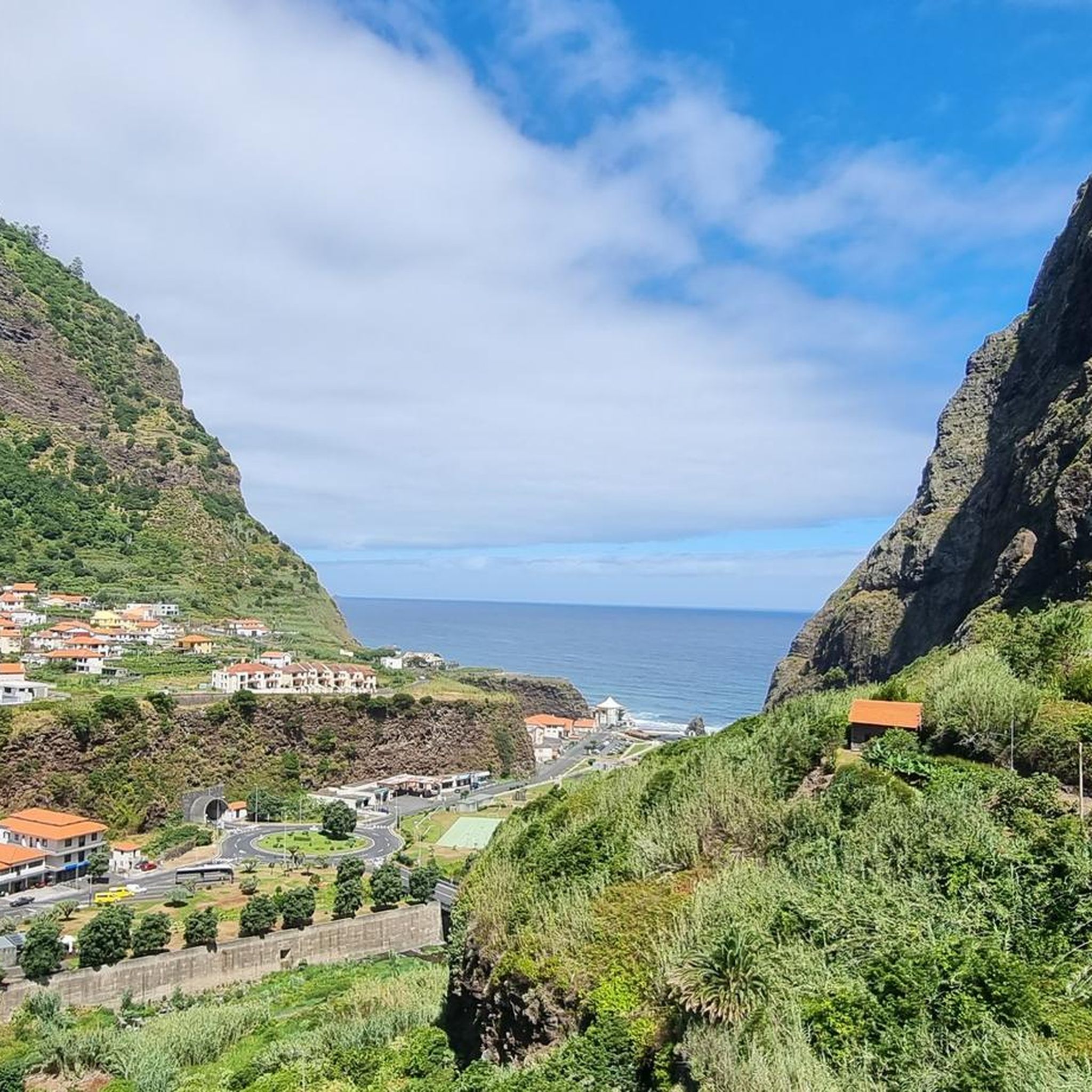
Road Cycling Routes around São Vicente
Mountain Hikes around São Vicente
MTB Trails around São Vicente


Tips from the Community

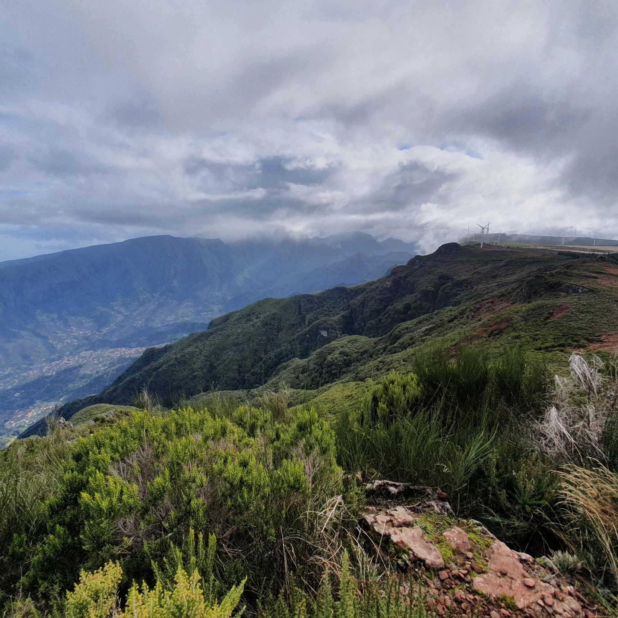
The Vereda da Encumeada trail offers scenic views along mountain ridges and slopes, repeatedly connecting deep valleys with vistas stretching all the way to the coast. The route alternates between narrow paths, some steeper sections, and quieter stretches through lush greenery – ideal if you're looking for a longer, varied hike. In wet conditions, hiking poles and sturdy shoes are invaluable, as the ground can be slippery in places.
4
0

The Pico do Arreeio summit is GIANT in the morning and worth every effort. Unfortunately, the hike to Pico Ruivo is closed shortly after the start – without any warning! The signs say you can go (September 2025), but suddenly you find yourself in front of an iron gate! On the way back, you're charged €3 per person, without any warning... The beautiful view at the beginning was worth it, but the overall impression is strange...
2
0

The route begins at the Pico Ruivo refuge at approximately 1,764 m and continues westward along the central ridge to the Encumeada Pass at 1,007 m. Along the way, you'll pass through two important ecosystems that are part of the Natura 2000 network: Laurisilva forest: An evergreen, humid laurel forest known for its biodiversity. Central mountain range: Characterized by volcanic escarpments and open heathlands. Along the trail are historic caves such as the Furna da Lapa da Cadela, which once served as shelters for heathland gatherers. Current Notice: Trail Closure (as of May 2025): Please note that the PR1.3 hiking trail is currently officially closed. The closure affects the section between kilometer point PK7+680 (Boca da Corrida) and Encumeada. It is strongly recommended to obtain up-to-date information from official bodies or local authorities before planning a hike.
5
0


Steep intermediate climb on the way from Pico do Arieiro via Pico das Torres to Pico Ruivo. One of the most beautiful hikes you can do on Madeira.
1
0

Frequently Asked Questions
What are the most notable mountainous features and trails in São Vicente?
While São Vicente is not known for traditional mountain passes connecting valleys, it features prominent peaks and trails offering stunning views. Key highlights include Vereda da Encumeada, a scenic trail along mountain ridges, and the View of Boca do Encumeada Pass, a popular viewpoint. Additionally, Monte Verde and Monte Cara are iconic peaks on the island, offering panoramic vistas and unique natural formations.
What kind of views can I expect from the mountain passes and peaks?
From the mountain passes and peaks around São Vicente, you can expect breathtaking panoramic views. For instance, Vereda da Encumeada offers vistas stretching all the way to the coast. From Monte Verde, the island's highest point, you can enjoy 360-degree views of the entire island, its rugged coastline, the Atlantic Ocean, and even neighboring islands on clear days. Monte Cara is famous for its distinctive 'face' shape and offers scenic photographic opportunities, especially at sunset.
How difficult are the hiking trails associated with these mountain passes?
The trails around São Vicente offer a range of difficulties. Some, like Cabeça do Urso and the Saddle between Pico Ruivo and Pico das Torres, are considered challenging, requiring surefootedness, a head for heights, and good footwear due to steep sections and significant elevation changes. Others, such as the hike to Monte Verde's summit, are moderately easy and accessible to most people.
What unique natural features can I discover on these trails?
The mountain trails around São Vicente boast unique natural features. Monte Verde is known for its relatively lush vegetation and humid microclimate, hosting 17 endemic plant species. Trails like Vereda da Encumeada pass through Laurilva forest, an evergreen, humid laurel forest, and the central mountain range with its volcanic escarpments. You might also encounter bizarre tree formations, especially along the path to the Saddle.
Are there any family-friendly hiking options around São Vicente's mountainous areas?
While many mountain passes and trails in São Vicente can be challenging, there are options suitable for families. The hike to the summit of Monte Verde, for example, is considered moderately easy and accessible. For easier, shorter walks, you can explore routes like the Vereda do Chão dos Louros or the Chão dos Louros Forest Park loop, which are part of the easy hikes guide around São Vicente.
What is the best time of year to hike the mountain passes in São Vicente?
The best time to hike the mountain passes and peaks in São Vicente generally depends on weather conditions. It's always advisable to check the weather forecast before heading out, especially for higher altitude trails where conditions can change rapidly. Sturdy shoes and hiking poles are recommended, particularly in wet conditions when paths can be slippery.
What other outdoor activities can I do near these mountain passes?
Beyond hiking, São Vicente offers various outdoor activities. You can explore MTB trails, with options like the Montado do Fanal Trail. For runners, there are challenging running trails such as the Pico Ruivo e Boca da Encumeada route. Many of these routes offer diverse terrain and stunning scenery, making them ideal for different outdoor pursuits.
Are there any amenities or facilities available at the mountain peaks or along the trails?
Amenities can vary. At the summit of Monte Verde, there is often a tea house (Cabana de Chá) where visitors can enjoy refreshments. However, for more remote and challenging trails like Cabeça do Urso, visitor tips suggest bringing your own water and provisions, as facilities like huts might be closed.
What cultural significance do these mountainous areas hold?
The mountainous areas of São Vicente hold cultural importance. Monte Cara, with its distinctive 'face' shape, is an iconic landmark that inspired the world-renowned Cape Verdean singer Cesária Évora to dedicate a song to it. Additionally, trails like Vereda da Encumeada pass by historic caves, such as the Furna da Lapa da Cadela, which once served as shelters for heathland gatherers.
What do visitors enjoy most about the mountain passes and trails in São Vicente?
Visitors frequently praise the spectacular and impressive landscapes, the panoramic views stretching to the coast, and the adventurous paths. The unique natural formations, such as Monte Cara's distinctive shape and Monte Verde's endemic flora, are also highly appreciated. Many find the challenging routes, like the scenic path between Ruivo and Arieiro, incredibly rewarding, especially when experienced during sunrise.
Are there any protected areas among the mountain passes?
Yes, Monte Verde, the highest point on São Vicente, is part of a protected natural park. This designation helps preserve the island's unique flora and wildlife, including 17 endemic plant species. Trails like Vereda da Encumeada also pass through important ecosystems that are part of the Natura 2000 network, such as the Laurisilva forest.
Most popular routes around São Vicente
Most popular attractions around São Vicente

Get inspired with the komoot mobile app


Explore more
See even more epic mountain passes by checking out these guides around São Vicente:
