The 12 Most Amazing Peaks around São Vicente
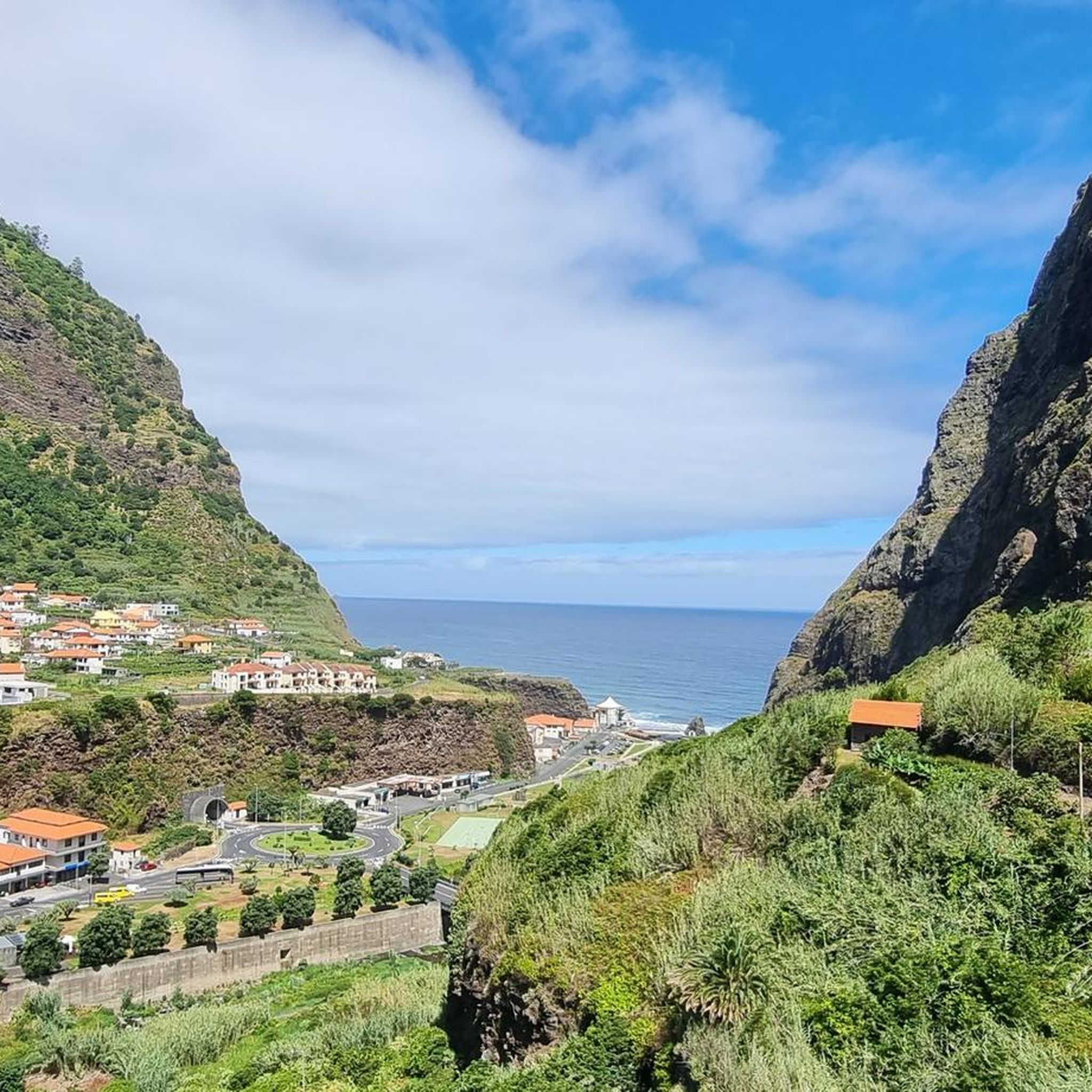
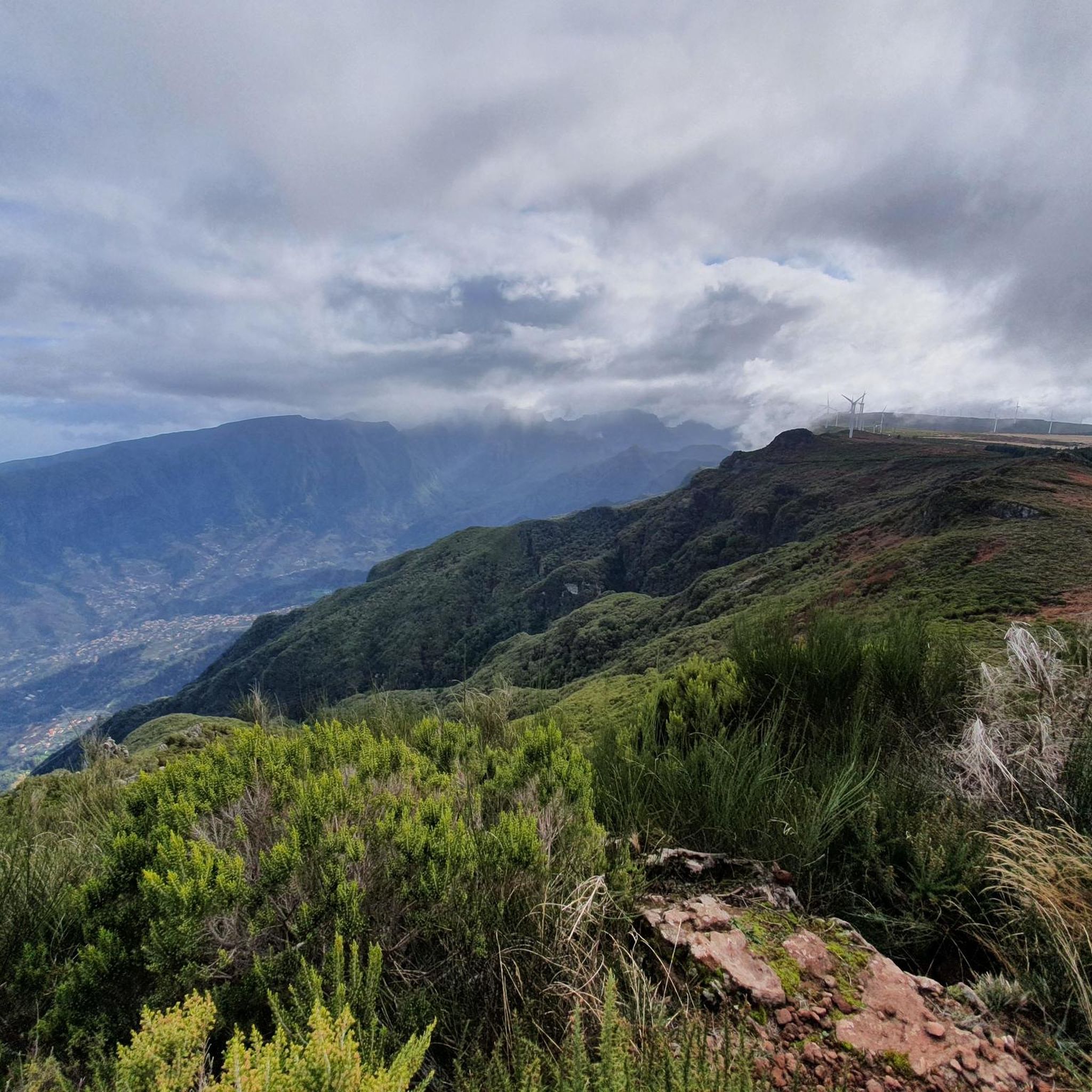
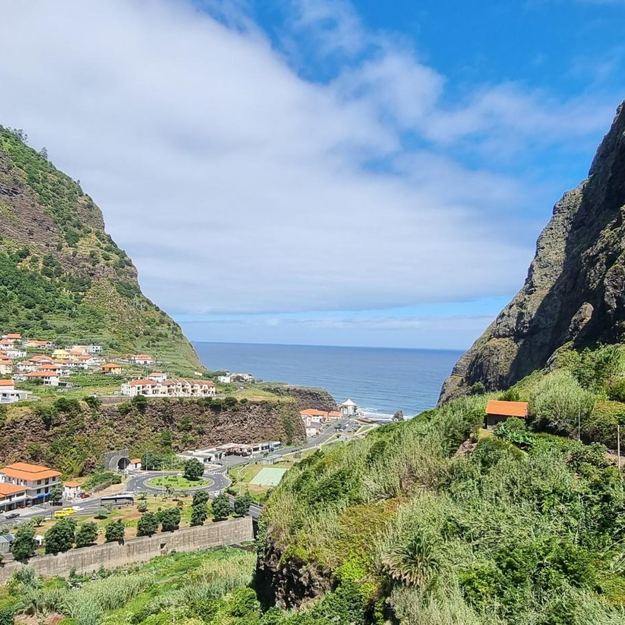
Best mountain peaks around São Vicente offer a range of experiences for hikers. This region on Madeira is characterized by its mountainous terrain, deep valleys, and coastal views. The landscape provides opportunities for exploring various elevations and natural formations. São Vicente is a central point for accessing many of the island's prominent summits and trails.
Best mountain peaks around São Vicente
- The most popular mountain peaks is Pico Ruivo Summit, a summit that is the highest point on the island of Madeira at 1,862 meters. This location offers extensive views of the island and its surrounding jagged cliffs.
- Another must-see spot is Pico Ruivo Steps, a trail leading to the summit. This section involves numerous steps that gain altitude, providing views of valleys and mountain ridges.
- Visitors also love Stone Staircase to Pico do Arieiro, a challenging trail. This path serves as the final ascent to Pico do Arieiro, featuring well-secured steps and passages that require sure-footedness.
- São Vicente is known for its summits, trails, and viewpoints. The area offers a variety of mountain peaks to see and explore, ranging from intermediate hikes to more challenging ascents.
- The mountain peaks around São Vicente are appreciated by the komoot community, with over 3750 upvotes and 2500 photos shared by visitors.
Last updated: October 18, 2026
Pico Ruivo Summit
Highlight • Summit
Translated by Google •
Tip by

Pico Ruivo Steps
Highlight • Trail
Translated by Google •
Tip by

Sign up now to discover places like this
Get recommendations on the best single tracks, peaks, & plenty of other exciting outdoor places.
Pico do Areeiro (1,818 m)
Highlight • Summit
Translated by Google •
Tip by
View of Encumeada Alta from the Madeira Natural Park
Highlight • Viewpoint
Translated by Google •
Tip by

Ascent to Pico Ruivo
Highlight • Climb
Achada do Teixeira, approximately 1,590–1,630 m above sea level, with parking and starting point of the PR1.2 hiking trail.
Trail details
Feature Description
Length approx. 2.8 km (one way)
Elevation gain approx. +260 m
Duration approx. 1–1.5 hours (ascent)
Difficulty: easy to moderate
Trail condition: well-maintained: stone slabs, steps, safely guided
Season: accessible year-round (except in storms or snow)
Translated by Google •
Tip by

Sign up for free to discover even more peaks around São Vicente.
Already have an account?
Start today with a free account
Your next adventure awaits.
Popular around São Vicente
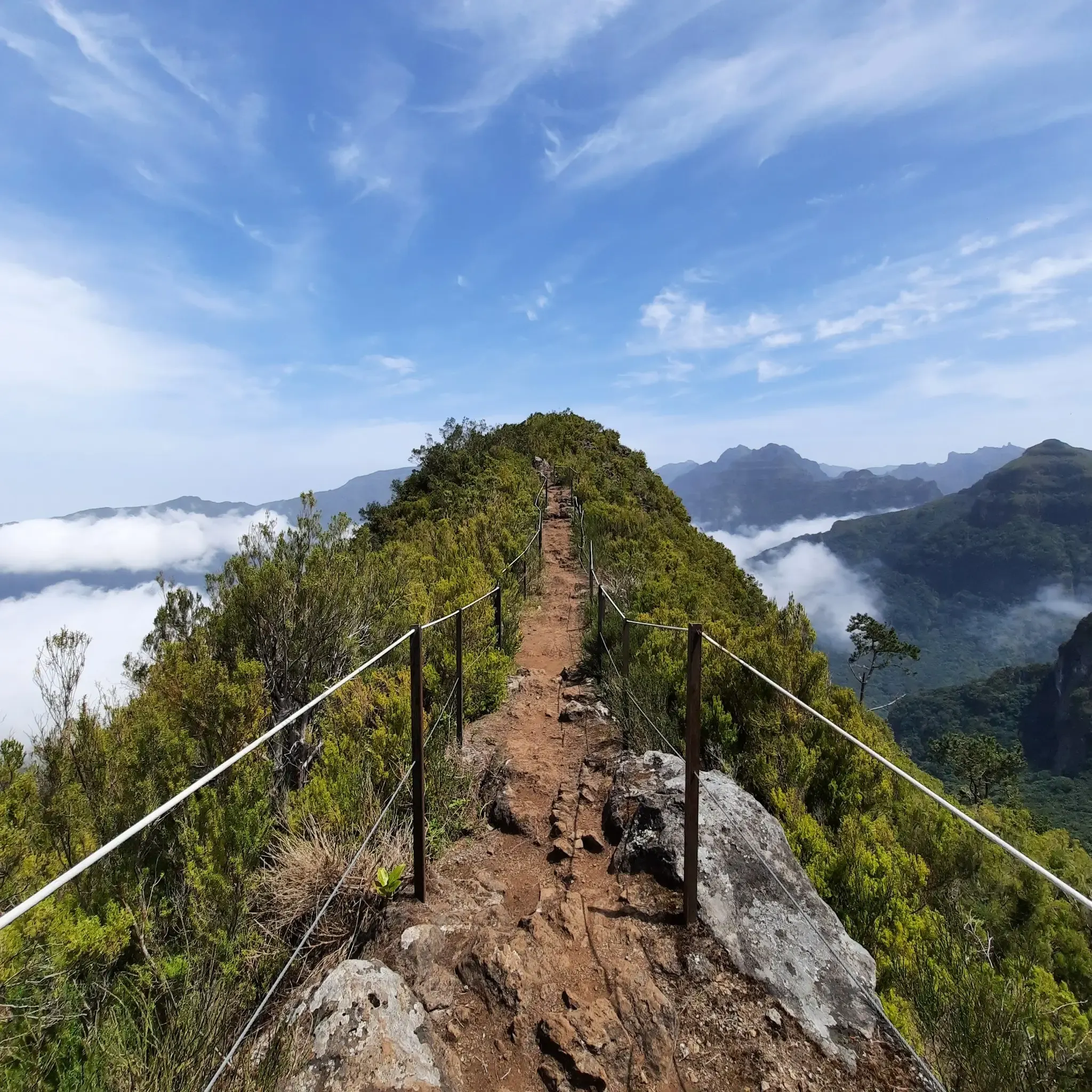
Madeira Island Ultra-Trail – A unique challenge
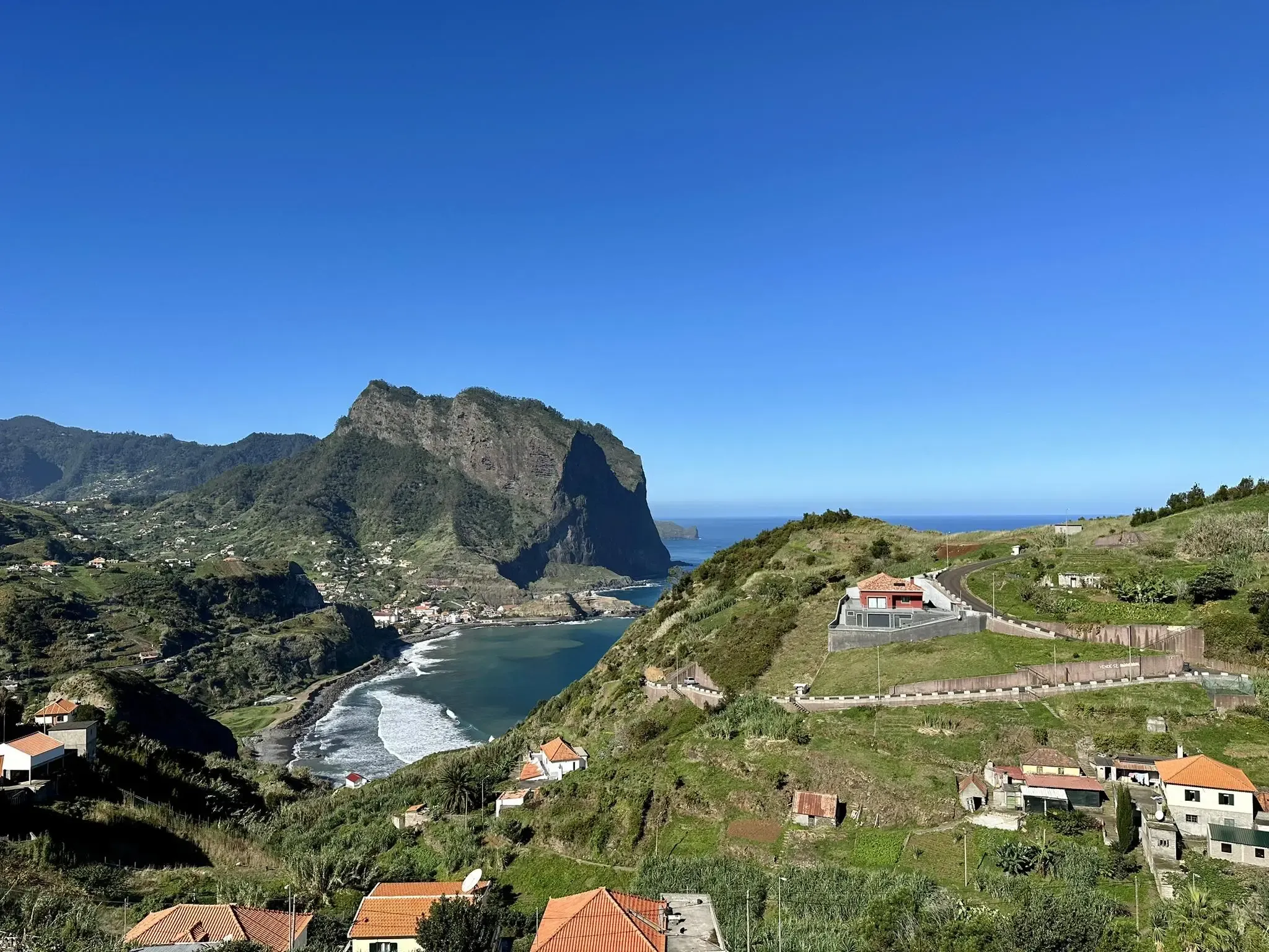
Island of eternal spring – hiking in Madeira
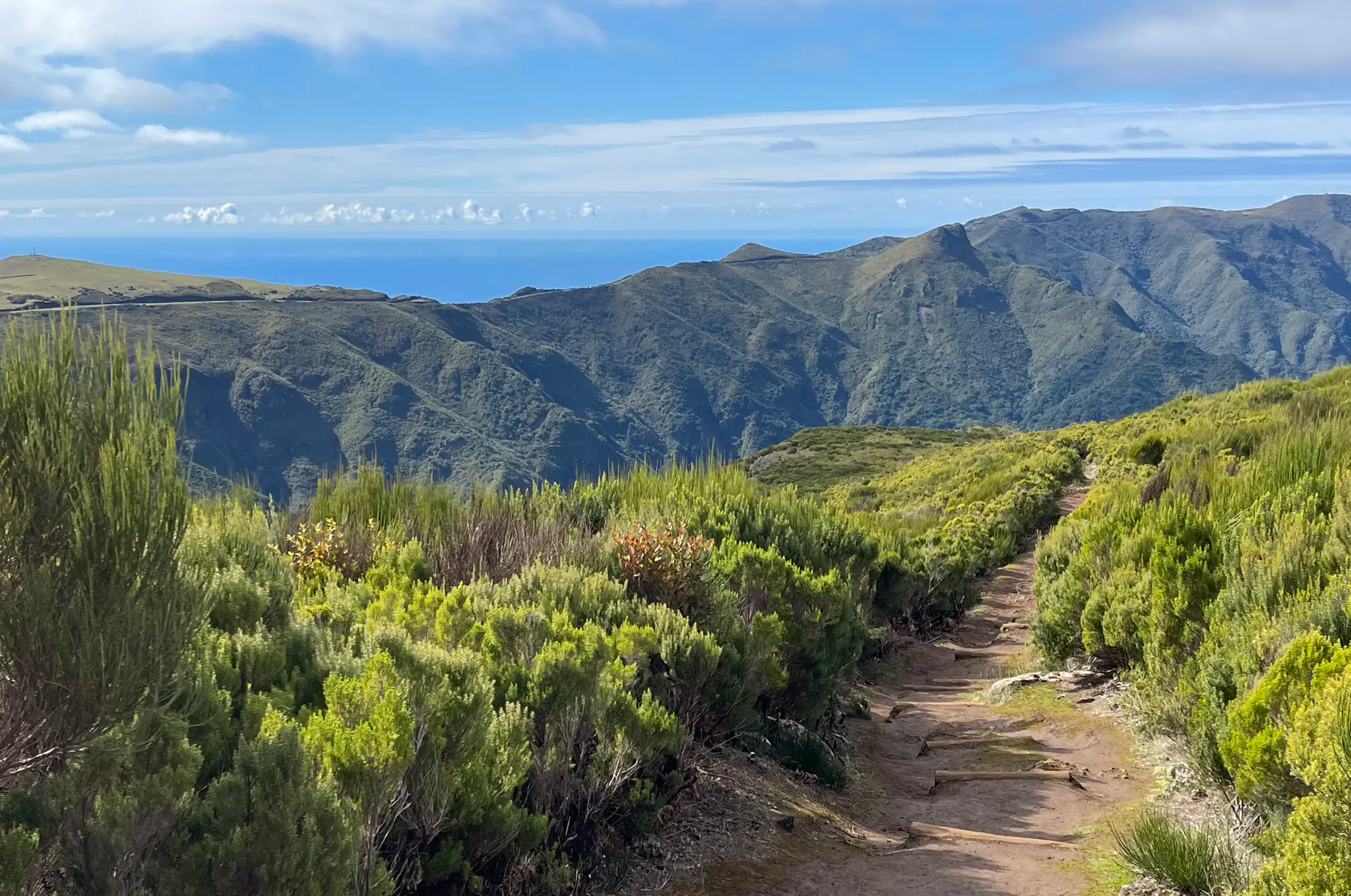
Do mar às nuvens – o Madeira Island Ultra-Trail em 4 etapas
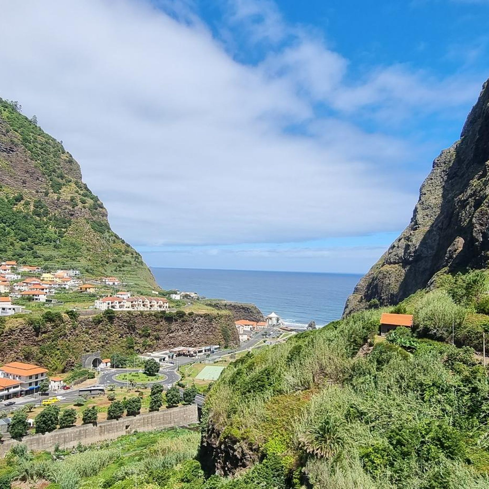
Hiking around São Vicente
Running Trails around São Vicente
Cycling around São Vicente
Road Cycling Routes around São Vicente
Mountain Hikes around São Vicente
MTB Trails around São Vicente


Tips from the Community

The staircase to Pico Ruivo winds its way up the slope in numerous steps, noticeably gaining altitude. As your thighs work, breathtaking views of the valleys and surrounding mountain ridges repeatedly open up. It's the perfect section to climb at your own pace and prepare yourself for the panoramic view from the summit.
6
0
The ascent to Pico Ruivo leads you along a well-maintained, but sometimes steep, mountain path up to Madeira's highest peak. Along the way, breathtaking views open up into deep valleys and across to the jagged mountain ridges all around. Once you reach the top, a 360° panorama awaits, easily making every drop of sweat worthwhile – in windy or rainy weather, it's best to bring warm layers.
3
0

Starting point: Achada do Teixeira, approximately 1,590–1,630 m above sea level, with parking and starting point of the PR1.2 hiking trail. Trail details Feature Description Length approx. 2.8 km (one way) Elevation gain approx. +260 m Duration approx. 1–1.5 hours (ascent) Difficulty: easy to moderate Trail condition: well-maintained: stone slabs, steps, safely guided Season: accessible year-round (except in storms or snow)
5
0
Highlights at Pico do Areeiro Pico do Areeiro Viewpoint: From here, you can enjoy breathtaking panoramic views over the rugged mountain landscapes of Madeira all the way to the Atlantic. On a clear day, you can even see Ponta de São Lourenço, Curral das Freiras, and the island of Porto Santo. Sunrise over the sea of clouds: Pico do Areeiro is known for spectacular sunrises, with the first rays of sunlight bathing the surrounding peaks in golden light. Arriving early is worthwhile to experience this natural spectacle. Radar Station & Cafeteria: Near the summit is the Portuguese Air Force radar station and a cafeteria with a souvenir shop, where you can take a break.
4
0

The mostly wide path leads approximately 2.8 km up to the summit of Pico Ruivo. Plenty of steps and great views make the ascent and descent entertaining... At the top, of course, there are also magnificent views in all directions, all the way to the sea and Pico Areeiro.
2
0

It is very beautiful here.
1
4

The highest mountain in Madeira and simply a breathtakingly beautiful view 😍.
29
0
The beautiful hiking trail PR1 starts here from Pico do Areeiro with wonderful views 😍. Unfortunately, it is currently not passable up to Pico Ruivo.
24
1
Frequently Asked Questions
What are some of the most popular mountain peaks to visit around São Vicente?
Among the most popular peaks is Pico Ruivo Summit, the highest point on Madeira, offering extensive island views. Another highly regarded spot is Stone Staircase to Pico do Arieiro, known for its challenging ascent and well-secured passages.
Are there any family-friendly mountain walks in the São Vicente area?
While many trails in the region are intermediate to challenging, some sections or specific peaks might be more accessible. For instance, Pico Ruivo do Paúl da Serra is described as an easy summit climb with great panoramic views, which could be suitable for families looking for a less strenuous option.
What is the difficulty level of mountain trails around São Vicente?
The mountain trails around São Vicente offer a range of difficulties. You'll find intermediate hikes, such as the Pico Ruivo Steps, which involves numerous steps but rewards with breathtaking views. There are also more challenging ascents like the Stone Staircase to Pico do Arieiro, requiring sure-footedness, especially when wet.
What kind of views can I expect from the mountain peaks in São Vicente?
The peaks around São Vicente are renowned for their spectacular views. From Pico Ruivo Summit, you can see the entire island and its jagged cliffs. Chão dos Terreiros Summit offers a sensational panoramic view over the Paul da Serra plateau, the Ribeira Brava valley, and the highest peaks like Pico Grande and Pico Ruivo.
What outdoor activities can I do near the mountain peaks of São Vicente?
Beyond hiking the peaks themselves, São Vicente is a great base for various outdoor activities. You can explore numerous cycling routes, including challenging ones like the 'São Vicente, Ponta do Sol e Ribeira Brava — circular route', detailed in the Cycling around São Vicente guide. There are also dedicated Mountain Hikes around São Vicente with routes like the 'Pico Ruivo Summit – View of Pico do Areeiro loop'.
Are there specific hiking trails near São Vicente's mountain peaks?
Yes, there are many hiking trails. For mountain-specific routes, you can find options like the 'Pico Ruivo Summit – View of Pico do Areeiro loop' or the 'Mountaineering loop from Boca da Corrida'. For other types of hikes, explore the Waterfall hikes around São Vicente guide, which includes moderate trails like the 'Waves at São Vicente – View of the Chapel of Fátima loop'.
What should I know about the current conditions or closures for hiking Pico Ruivo?
It's important to note that the main path to Pico Ruivo Summit has experienced closures due to rockfalls and forest fires. Visitors are often recommended to take the northern ascent to the summit. Always check local conditions before planning your hike.
What do visitors enjoy most about the mountain peaks around São Vicente?
Visitors consistently praise the breathtaking and magical views from the summits, especially from Pico Ruivo Summit. The sense of accomplishment after climbing the numerous steps on trails like Pico Ruivo Steps, combined with the stunning landscapes of valleys and mountain ridges, is also a highlight for many.
What kind of natural formations can I expect to see on these peaks?
The region is characterized by its mountainous terrain, deep valleys, and coastal views. You'll encounter dramatic jagged cliffs, volcanic formations, and unique rock structures. Trails often wind through diverse landscapes, offering glimpses of the island's rich flora and fauna.
Are there any tips for hiking the more challenging trails like the Stone Staircase to Pico do Arieiro?
For challenging trails such as the Stone Staircase to Pico do Arieiro, it's crucial to be sure-footed and have a feel for mountain hiking. The path features well-secured steps, but passages can be slippery, especially when wet. Good clothing and appropriate footwear are highly recommended.
Most popular routes around São Vicente
Most popular attractions around São Vicente

Get inspired with the komoot mobile app


Explore more
See even more amazing summits around São Vicente with these guides:
