The best MTB trails around Canadelo
4.4
(27)
501
riders
13
rides
Mountain biking around Canadelo offers diverse terrain in the heart of Amarante, Portugal. The region is characterized by hills and valleys, with the Tâmega and Olo rivers flowing through granite and oak landscapes. Situated on the southeastern flank of the Serra do Marão at over 600 meters of altitude, Canadelo provides varied topography for mountain biking. Routes often traverse the Aboadela valley, featuring the Ovelha River.
Best mountain bike trails around Canadelo
- The most popular mountain bike trail is Castelo…
Last updated: October 17, 2026
5.0
(1)
19
riders
38.6km
04:07
1,160m
1,160m
Hard mountain bike ride. Very good fitness required. Suitable for all skill levels.
4.5
(2)
25
riders
32.8km
02:07
430m
430m
Moderate mountain bike ride. Good fitness required. Suitable for all skill levels.

2.0
(1)
2
riders
45.6km
04:07
1,120m
1,120m
Hard mountain bike ride. Very good fitness required. Suitable for all skill levels.
13
riders
32.6km
02:42
770m
770m
Moderate mountain bike ride. Good fitness required. Suitable for all skill levels.
12
riders
50.9km
04:27
1,160m
1,160m
Hard mountain bike ride. Very good fitness required. Suitable for all skill levels.
Get access to more routes and recommendations from other explorers.
Already have an account?
Our route recommendations are based on thousands of hikes, rides, and runs completed by other people on komoot.
Start today with a free account
Your next adventure awaits.
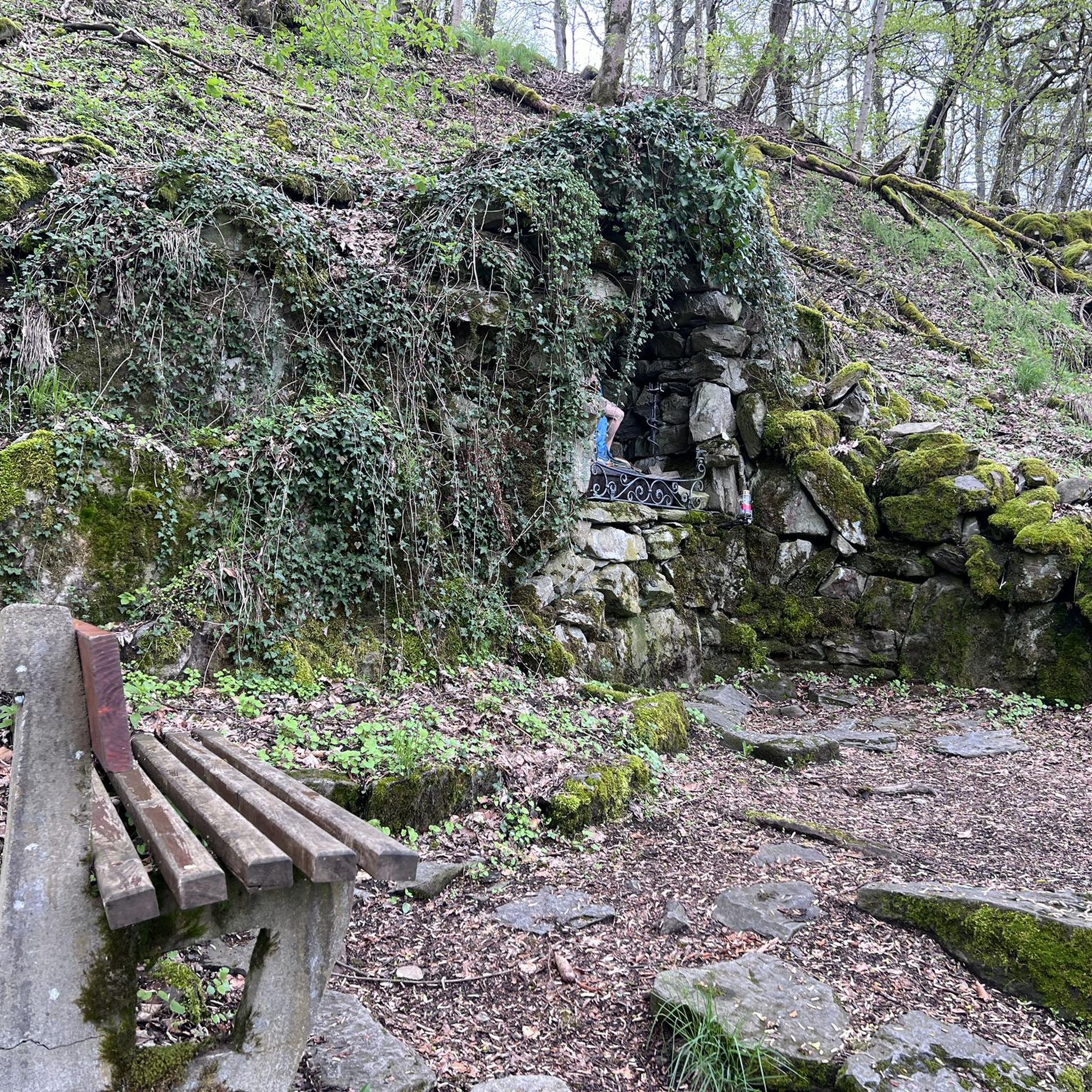

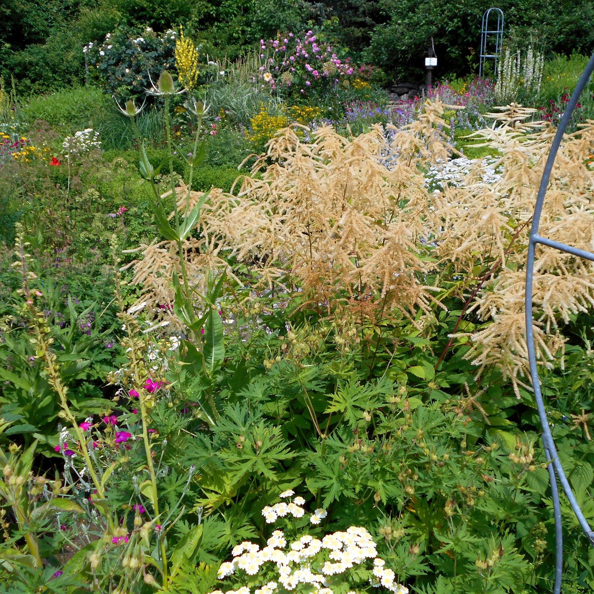

Tips from the Community

The São Gonçalo Bridge (Ponte de São Gonçalo) is an iconic, three-arched granite stone bridge located in the charming town of Amarante, northern Portugal. Spanning the scenic Tâmega River, it serves as the architectural and visual centerpiece of the city centre.
0
0
The Igreja de São Gonçalo (Church of Saint Gonçalo) is a prominent 16th-century National Monument located in the riverside town of Amarante, northern Portugal. Positioned commandingly next to the Tamega River and the historic São Gonçalo Bridge, the architectural complex functions as the historical and spiritual heart of the city.
0
0

Relax in the shade and wade into the water. Prone to flooding during rainy season.
0
0

A bridge with a horizontal deck over three unequal round arches, the central one being the largest. The pillars have triangular buttresses upstream and downstream. The parapet protecting the bridge deck rests on a carved tubular cornice. Crowning the buttresses, four semicircular balconies with stone benches open onto the deck. At each end, the bridge boasts two pairs of faceted Baroque spires resting on small spheres.
2
0


Relatively flat. Very pleasant.
1
0

Nice bike path, nice asphalt. Fairly wide, but only in a few spots is the vegetation recovering. Recommended 👍
1
0

Small narrow streets to discover in the not so small village
2
2
Frequently Asked Questions
How many mountain bike trails are available around Canadelo?
There are 14 mountain bike trails around Canadelo. This includes 4 moderate routes and 10 difficult routes, offering a good range for different skill levels.
What kind of terrain can I expect on mountain bike trails in Canadelo?
Mountain biking in Canadelo features diverse terrain, characterized by hills and valleys, river valleys, and granite landscapes. You'll often find routes traversing the Aboadela valley, with the Ovelha River, and experience the mountainous terrain of the Serra do Marão.
Are there any family-friendly mountain bike trails in Canadelo?
While Canadelo offers 4 moderate mountain bike routes, the majority of trails are classified as difficult. For families with younger or less experienced riders, it's advisable to carefully review the moderate options, such as the Arco de Baúlhe Train Station loop from Celorico de Basto, which is 32.8 km long and takes about 2 hours 6 minutes.
What are some of the longer or more challenging mountain bike routes in the area?
For experienced riders seeking a challenge, Canadelo offers several difficult routes. One of the longest is the Castelo de Arnoia – Penedo das Grades loop from Celorico de Basto, which spans 67.1 km and takes nearly 6 hours to complete, featuring significant elevation changes. Another demanding option is the Sarnado loop from Campeã, a 47.3 km difficult trail.
Are there any circular mountain bike routes in Canadelo?
Yes, many of the mountain bike trails around Canadelo are circular routes. Examples include the Castelo de Arnoia – Penedo das Grades loop from Celorico de Basto, the Tasca do Pedro loop from Ansiães, and the Arco de Baúlhe Train Station loop from Celorico de Basto.
What do other mountain bikers say about the trails in Canadelo?
The mountain bike trails in Canadelo are highly rated by the komoot community, with an average score of 4.5 stars from over 20 reviews. More than 500 mountain bikers have explored Canadelo's varied terrain, often praising the diverse landscapes and challenging routes.
Are there any waterfalls or significant natural features to see along the mountain bike trails?
Yes, the region boasts beautiful natural features. While mountain biking, you might encounter the serene Tâmega and Olo rivers. A notable natural attraction nearby is the Fisgas de Ermelo Waterfalls, a spectacular sight in the area.
What historical or cultural points of interest can I find near the mountain bike routes?
Beyond the natural beauty, mountain biking routes in the area can lead past historical sites. You can explore the charming Ermelo Village or visit the St. Gonçalo Bridge and the Church and Bridge of São Gonçalo in Amarante, which add a cultural dimension to your ride.
What is the best time of year for mountain biking in Canadelo?
Canadelo offers a good climate for mountain biking for much of the year. The region's hills and valleys provide varied conditions. For specific advice on winter conditions or what to wear in summer, it's best to check local weather forecasts closer to your visit, as conditions can vary with altitude, especially near the Serra do Marão.
Are there options for advanced mountain bikers in Canadelo?
Absolutely. Canadelo is well-suited for advanced mountain bikers, with 10 out of 14 routes classified as difficult. These trails often include substantial climbs and significant elevation changes, such as the Castelo de Arnoia loop from Celorico de Basto, which covers 45.2 km with over 1100 meters of ascent.
Can I expect to see wildlife on the mountain bike trails around Canadelo?
The natural landscapes of Canadelo, including areas around the Tâmega and Olo rivers and the Serra do Marão, are home to diverse wildlife. While specific sightings are never guaranteed, you may encounter various bird species and other local fauna, especially in quieter sections of the trails.
Most popular routes around Canadelo
Most popular attractions around Canadelo

Get inspired with the komoot mobile app


Explore more
Browse the best MTB trails in other regions.
