The best road cycling routes around Aguçadoura
4.6
(35)
2,041
riders
46
rides
Road cycling routes around Aguçadoura, Portugal, are characterized by coastal plains and proximity to the Atlantic Ocean. The terrain is generally flat, with some gentle rolling hills in the broader region, offering accessible riding experiences. The area features paved roads and dedicated cycle paths, providing a diverse network for road cyclists. This coastal setting allows for rides with sea air and open ocean views.
Best road cycling routes around Aguçadoura
- The most popular road cycling route is Famalicão Cycle Path…
Last updated: October 20, 2026
4.5
(11)
290
riders
Moderate road ride. Good fitness required. Mostly well-paved surfaces and easy to ride.
139
riders
66.8km
02:57
510m
510m
Moderate road ride. Good fitness required. Some segments of this route may be unpaved and difficult to ride.

60
riders
63.3km
02:43
480m
480m
Moderate road ride. Good fitness required. Mostly well-paved surfaces and easy to ride.
37
riders
81.4km
04:05
1,150m
1,150m
Hard road ride. Very good fitness required. Mostly well-paved surfaces and easy to ride.
5.0
(1)
45
riders
73.4km
03:18
650m
650m
Moderate road ride. Good fitness required. Some segments of this route may be unpaved and difficult to ride.
Get access to more routes and recommendations from other explorers.
Already have an account?
Our route recommendations are based on thousands of hikes, rides, and runs completed by other people on komoot.
Start today with a free account
Your next adventure awaits.
Tips from the Community

The Metal Bridge of Fão (Esposende) Location: It crosses the Cávado River, on National Road 13 (EN13), in the parish of Fão, in Esposende. Alternative Name: It is frequently referred to as the D. Luís Filipe Bridge. History: It is a significant example of iron architecture in Portugal, inaugurated on August 7, 1892. Characteristics: The bridge, which is a Property of Public Interest, has an extensive metal structure and has recently been rehabilitated.
2
0
In Esposende, the main historical bridge that crosses the Cávado River is the Ponte Metálica de Fão, also known locally as Ponte D. Luís Filipe.
2
0
The church is an active place of worship, with regular opening hours for visitors and worshippers. Location: Rua da Igreja, 4480-754 Vila do Conde, Portugal. Opening Hours: Daily (Monday to Sunday): 9:30 AM to 12:00 PM and 3:00 PM to 7:30 PM. Masses: For accurate information on Mass times, it is recommended to visit the parish's official website or call directly, as times may vary. Accessibility: The church has wheelchair accessible entrance and parking.
1
0
Architecture and History Construction of the church began in the last years of the 15th century, by order of King Manuel I. The architectural design combines elements of Gothic and Renaissance architecture, in addition to the predominant Manueline style, especially evident in its magnificently sculpted main portal. The interior has beautiful stained glass windows and altars with gilded carvings, which are worth a detailed visit. The church is located on top of a hill where the original Monastery of Santa Clara and the old parish church were situated.
1
0
The Church of St. John the Baptist of Vila do Conde, also known as the Parish Church of Vila do Conde, is one of the city's most important monuments and one of the most significant examples of the Manueline style (late Portuguese Gothic) in the country. It was classified as a National Monument in 1910.
1
0
Highlights and Route Landscape: The route crosses rural areas, small population centers, agricultural fields, and forest areas, offering a calm and pleasant environment. Localities: The ecotrail passes through several localities, including Amorim, Terroso, Laundos, Rates, Balazar, Gondifelos, Louro, and Brufe. Intermodality: A great advantage is the direct connection to the Vila Nova de Famalicão train station and the Porto Metro station in Póvoa de Varzim, facilitating access to the beginning and end of the route. Interconnection: The cycle path connects to the Formiga Ecotrail, allowing the ride to be extended.
1
0
Route Characteristics Length: The route is approximately 28 to 30 kilometers in total, connecting the rural interior (Famalicão) to the Atlantic coast (Póvoa de Varzim). Difficulty: It is a flat route, without major slopes or sharp curves, making it an easy and accessible route for everyone, including families with children. Surface: The surface is a mixture of macadam and, in some sections, asphalt, suitable for walking, running and cycling. Accessibility: The ecotrail is wheelchair accessible and has approximately 12 rest areas along the route.
1
0
The Famalicão–Póvoa de Varzim cycle path is, in fact, the Famalicão branch line cycle path. This route was built using the canal of the old railway branch line that connected Vila Nova de Famalicão and Póvoa de Varzim, and which ceased train service in 1995.
1
0
Frequently Asked Questions
What is the typical terrain like for road cycling in Aguçadoura?
Road cycling around Aguçadoura is primarily characterized by its coastal plains and proximity to the Atlantic Ocean. The terrain is generally flat, offering accessible riding experiences with refreshing sea air and open ocean views. While the immediate coast is flat, the broader region around Póvoa de Varzim features gentle rolling hills for those seeking a bit more elevation.
How many road cycling routes are available around Aguçadoura?
There are over 45 road cycling routes available around Aguçadoura, offering a diverse network for cyclists. These routes are highly rated by the komoot community, with an average score of 4.5 stars from over 25 reviews.
Are there road cycling routes suitable for beginners in Aguçadoura?
Yes, Aguçadoura offers several road cycling routes suitable for beginners. There are 11 easy routes that provide a smoother, less challenging ride, often along the flat coastal plains. These routes are perfect for enjoying the scenic views without significant climbs.
Can I find more challenging road cycling routes with significant elevation in the area?
For cyclists looking for more of a challenge, there are 10 difficult road cycling routes around Aguçadoura. These routes venture into the broader region, incorporating the gentle rolling hills to provide more significant elevation gains. An example is the Quincentennial Carrack – Church of São Pedro de Rates loop from Póvoa de Varzim, which includes over 530 meters of climbing.
What scenic views or natural features can I expect on road cycling routes in Aguçadoura?
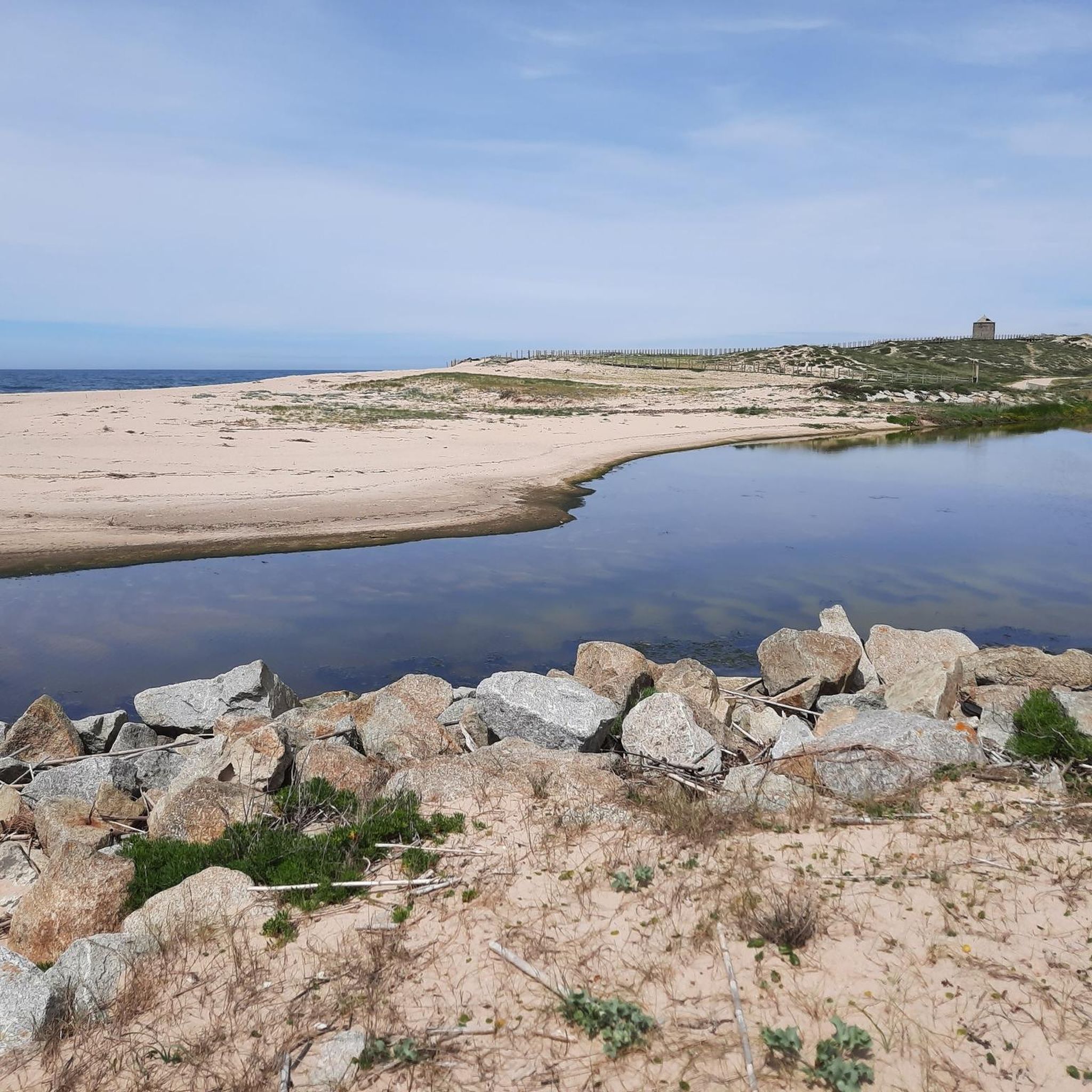
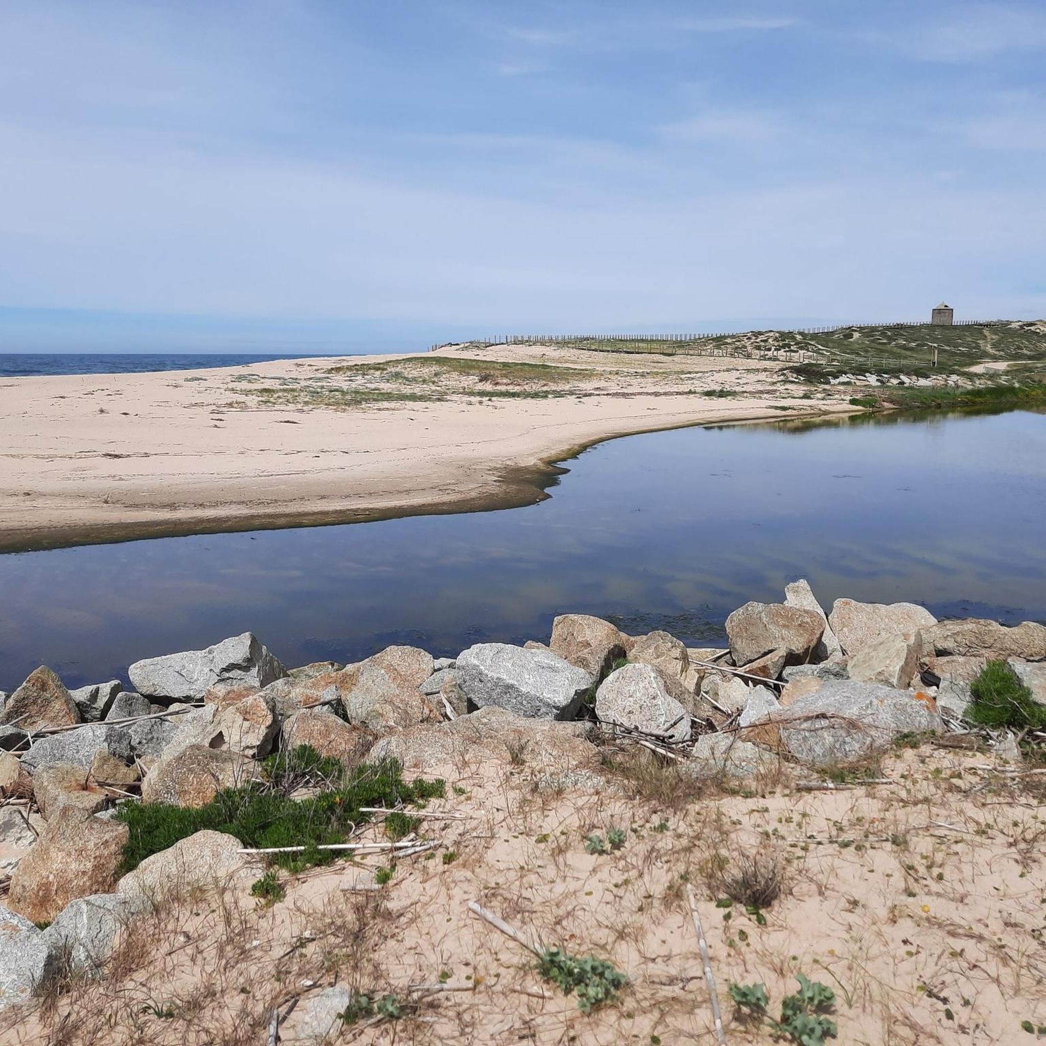
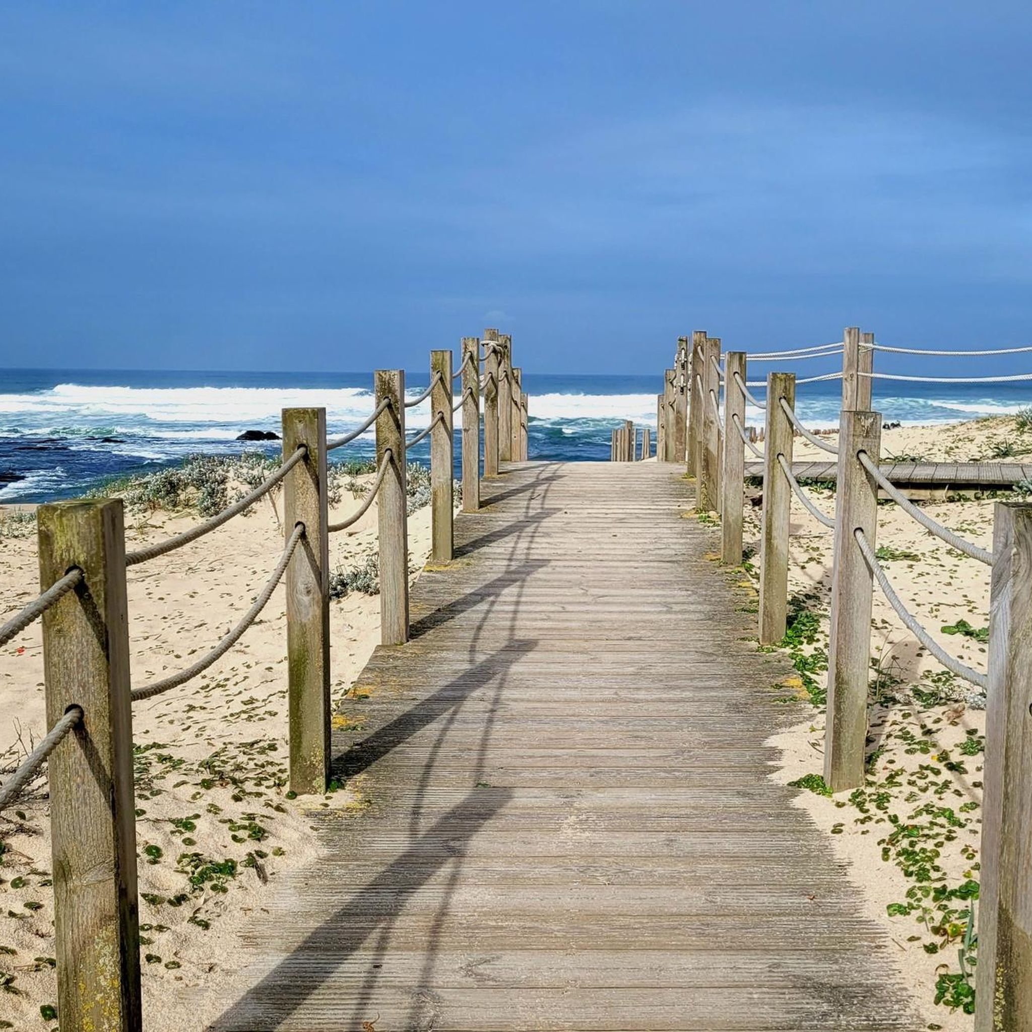
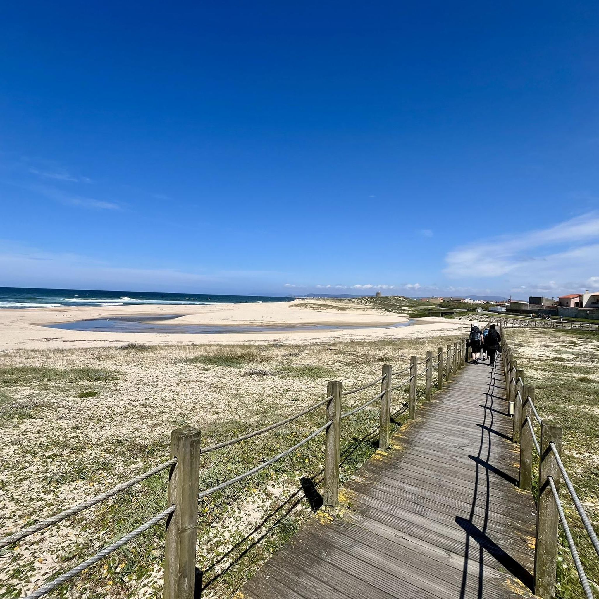
Road cycling routes in Aguçadoura offer stunning coastal scenery, including expansive white sand beaches and protected sand dunes. You can enjoy open ocean views and experience small coastal communities. Notable points of interest include the Wooden Boardwalk Along the Atlantic Coast and the historic Aguçadoura Beach Mill.
Are there circular road cycling routes available in Aguçadoura?
Yes, many of the road cycling routes around Aguçadoura are designed as loops, allowing you to start and finish in the same location. For instance, the Chapel of São Brás loop from São Brás is a popular circular route covering over 53 kilometers through varied landscapes.
What is the best time of year for road cycling in Aguçadoura?
The coastal climate of Aguçadoura makes it suitable for road cycling for much of the year. Spring and autumn generally offer pleasant temperatures and fewer crowds, ideal for longer rides. Summer provides warm weather, perfect for combining cycling with beach visits, though coastal areas can be busier.
Are there any family-friendly road cycling options near Aguçadoura?
While specific 'family-friendly' routes are not explicitly categorized, the generally flat coastal plains and dedicated cycle paths make many of the easier routes suitable for families. The presence of cycle paths along the Portuguese Camino de Santiago through Aguçadoura also provides safer, traffic-separated options for family rides.
What do other road cyclists enjoy the most about road cycling in Aguçadoura?
The area is highly rated by the komoot community, with an average score of 4.5 stars. Reviewers often praise the beautiful coastal landscapes, the refreshing sea air, and the well-maintained paved roads and cycle paths that make for an enjoyable riding experience. The blend of physical activity with cultural and natural exploration is also frequently highlighted.
Are there any long-distance road cycling routes in the Aguçadoura area?
Yes, there are several long-distance road cycling routes. For example, the View of Esposende – Paço dos Condes de Barcelos loop from Póvoa de Varzim is a moderate 66.7 km path, offering scenic views and significant distance for endurance riders.
What kind of facilities or stops are available along the routes for cyclists?
Aguçadoura's proximity to Póvoa de Varzim means cyclists have access to additional amenities. Póvoa de Varzim is a vibrant town with cafes, shops, and hotels, offering convenient stops for refreshments and accommodation. Along the coastal routes, you'll also find small coastal communities with local establishments.
Is public transport available to access road cycling routes in Aguçadoura?
Aguçadoura is well-connected, and its location near Póvoa de Varzim provides access to public transport options. Cyclists can often use regional buses or trains to reach starting points, though it's advisable to check specific routes and operator policies regarding bicycle transport beforehand.
Where can I find parking if I drive to Aguçadoura for road cycling?
Given Aguçadoura's popularity as a coastal destination, parking facilities are generally available, especially near beaches and town centers. Póvoa de Varzim, being a larger town nearby, also offers various parking options that can serve as convenient starting points for routes extending into Aguçadoura.
Most popular attractions around Aguçadoura

Get inspired with the komoot mobile app


Explore more
Browse the best Road cycling routes in other regions.
