The best road cycling routes around Gaiberg
4.5
(2736)
38,794
riders
567
rides
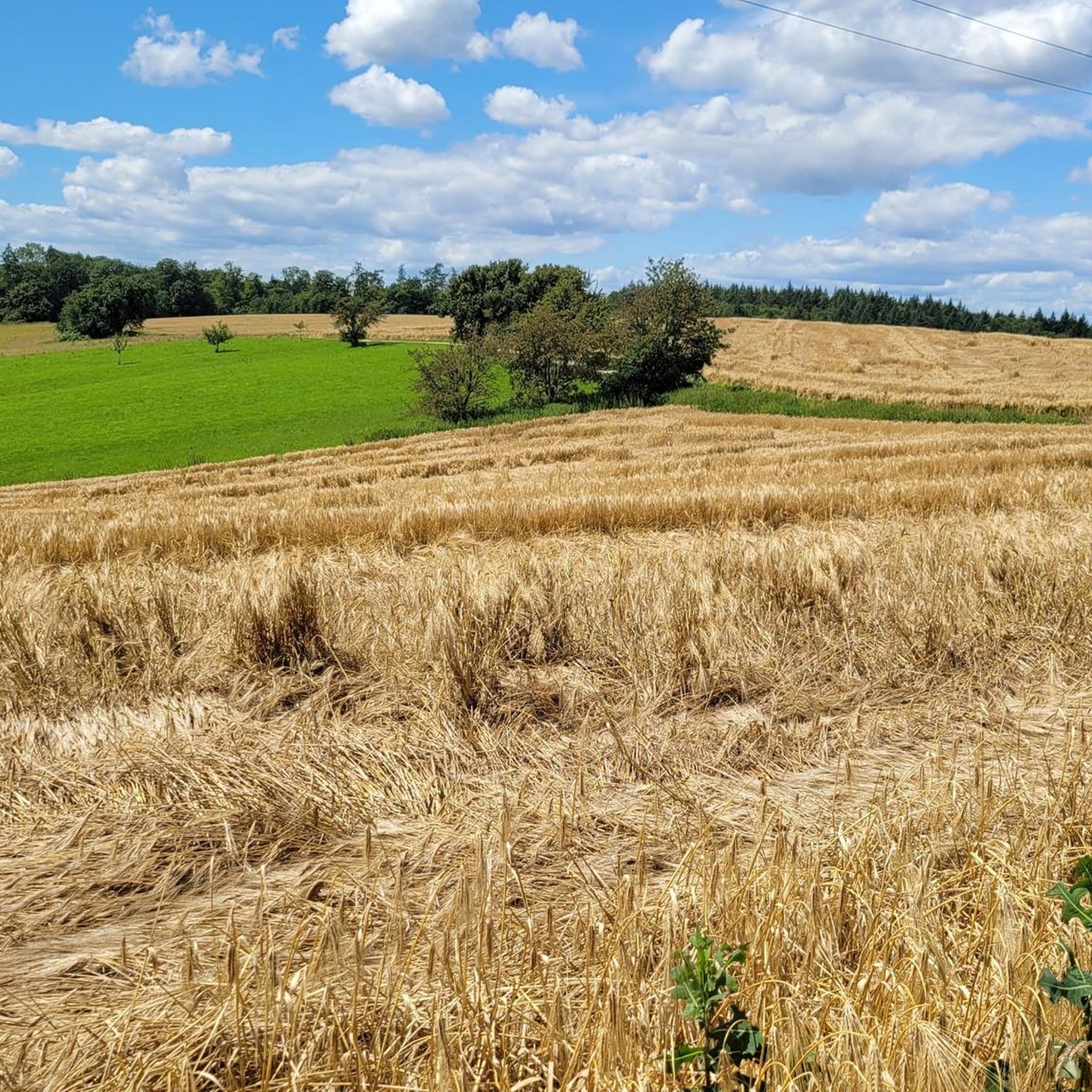
Road cycling routes around Gaiberg are situated within the Kleiner Odenwald region, part of the Rhine-Neckar district. The area features diverse landscapes, including approximately 155 hectares of forest and significant elevation changes. Cyclists can expect varied terrain, from shaded forest paths to open sections offering views across the Neckar valley and the Kraichgau hill country. This region provides a range of options for road cyclists seeking challenging routes and scenic natural features.
Best road cycling routes around Gaiberg
- The most…
Last updated: July 12, 2026
4.7
(10)
168
riders
53.1km
02:15
280m
280m
Moderate road ride. Good fitness required. Some segments of this route may be unpaved and difficult to ride.
5.0
(4)
92
riders
92.5km
04:14
1,020m
1,020m
Hard road ride. Very good fitness required. Mostly well-paved surfaces and easy to ride.

Sign up for free
4.3
(6)
114
riders
32.0km
01:33
350m
350m
Moderate road ride. Good fitness required. Some segments of this route may be unpaved and difficult to ride.
44
riders
99.1km
04:56
1,440m
1,440m
Hard road ride. Very good fitness required. Mostly well-paved surfaces and easy to ride.
5.0
(2)
50
riders
24.6km
01:25
570m
570m
Moderate road ride. Good fitness required. Some segments of this route may be unpaved and difficult to ride.
Get access to more routes and recommendations from other explorers.
Sign up for free
Already have an account?
Our route recommendations are based on thousands of hikes, rides, and runs completed by other people on komoot.
Start today with a free account
Your next adventure awaits.
Login or Signup


Other adventures around Gaiberg

Tips from the Community


The Herkulesbrunnen is one of the most distinctive landmarks of Heidelberg's Old Town and is centrally located on the Marktplatz, right between the Town Hall and the Church of the Holy Spirit.
0
0

A scenic road cycling segment through the Odenwald forest. The route winds through misty woodland with smooth tarmac, ideal for road bikes. Enjoy the tranquil forest atmosphere on this well-marked cycleway.
0
0

The Ziegelhausen Bridge spans the Neckar River and connects the districts of Ziegelhausen and Schlierbach/Schlierbachs Landstraße. The current structure dates from 1954 and is a prestressed concrete bridge with a roadway approximately 6.5 meters wide, flanked by two 2-meter-wide footpaths. The bridge replaced an older timber and prestressed concrete truss structure from 1914, which was blown up in March 1945 during World War II. The city plans to construct a new bridge starting in 2029, including a three-meter-wide pedestrian and bicycle bridge.
5
0
At the southern end of the Ziegelhausen Neckar Bridge stands an impressive statue of Saint Christopher, the patron saint of travelers and motorists. The sculpture – created by sculptor Bernd Stöcker – depicts the saint in a classic pose, carrying the Christ Child on his shoulders.
5
0
The view of the Neckar River near Ziegelhausen-Schlierbach is truly picturesque – there the tranquil river landscape merges with the wooded slopes of the Odenwald.
4
0

The era of GPS tour recording has buried the sleek analog technology. The stopwatch has been dismantled and now lives on in the virtual world of STRAVA, Garmin, and the like.
1
0

So a nice bike tour but definitely not with a racing bike, gravel bike...gravel paths and carbon wheels are not good.
0
0
Frequently Asked Questions
What makes road cycling around Gaiberg unique?
Road cycling around Gaiberg is unique due to its diverse landscapes within the Kleiner Odenwald region. You'll find a mix of challenging routes with significant elevation gains, shaded forest paths, and open sections offering wide views across the Neckar valley, the Odenwald, and the Kraichgau hill country. It's considered a 'hidden gem' for cyclists seeking varied terrain and rewarding vistas.
How many road cycling routes can I find in the Gaiberg area?
There are over 550 road cycling routes available around Gaiberg, catering to a wide range of skill levels. This includes approximately 150 easy routes, over 280 moderate routes, and around 120 difficult routes for more ambitious cyclists.
What are some of the most scenic viewpoints along road cycling routes near Gaiberg?
Many routes in the Gaiberg area offer expansive views. You can expect panoramas across the Neckar valley, the Odenwald, and the Kraichgau hill country. A notable viewpoint is the Weißer Stein and observation tower, which provides excellent vistas. The 'Hohe Straße' viewpoint also offers breathtaking panoramic views over the Neckar valley and Heidelberg.
Are there any circular road cycling routes around Gaiberg?
Yes, many road cycling routes around Gaiberg are designed as loops, allowing you to start and finish at the same point. Examples include the St. Salvator City Church – Reilsheimer Dörndl loop from Reilsheim, and the Neckarhausen Ferry – View of Hirschhorn Castle loop from Gaiberg.
What is the best time of year for road cycling in Gaiberg?
The best seasons for road cycling in Gaiberg are generally spring and autumn. During these times, the landscape is particularly beautiful with blossoming flowers or vibrant fall foliage, and the temperatures are usually pleasant for longer rides. While summer is also an option, some routes offer up to 90% shaded forest paths, which can be a welcome relief on warmer days.
What do other cyclists say about road cycling in Gaiberg?
The road cycling routes in Gaiberg are highly rated by the komoot community, with an average score of 4.5 stars from over 2,300 reviews. More than 34,000 road cyclists have used komoot to explore Gaiberg's varied terrain, often praising the diverse landscapes, challenging climbs, and rewarding views.
Are there any natural features or landmarks to see along the road cycling routes?
Yes, the region offers several natural features and landmarks. While cycling, you might encounter areas like the 'Seven Wells' (a group of springs) or the 'Kohlhof Orchard Meadows'. Nearby attractions also include the Dachsenfranz Cave and the Breathing Rock near Rothsnasenhütte. For cultural sights, the historic Old Bridge and Heidelberg Castle are also accessible from the area.
Are there options for refreshments or places to eat along the routes?
Yes, some road cycling routes in Gaiberg offer opportunities to stop at traditional beer gardens, perfect for refreshments and enjoying scenic views. You can also find places like the Heiligenberg Forest Inn, which can be incorporated into your tour for a meal or a break.
Are there any challenging road cycling routes for experienced riders?
Absolutely. Gaiberg is known for its significant elevation gains, making it suitable for ambitious cyclists. Routes like the Schwanheim Ascent – Lobbach Riverside Path loop from Reilsheim, a difficult 57.5-mile path, offer substantial climbs and expansive vistas, perfect for experienced riders seeking a challenge.
Can I find parking for my car when starting a road cycling tour in Gaiberg?
While specific designated parking areas for cyclists are not explicitly detailed, Gaiberg is a municipality that caters to outdoor activities. You can generally find public parking options within the town or at common starting points for trails. It's advisable to check local parking regulations upon arrival.
Are there any family-friendly road cycling routes in Gaiberg?
While many routes in Gaiberg feature significant elevation changes, there are also easier options available. With over 150 easy routes, families can find suitable paths, though it's always recommended to check the specific route's difficulty and terrain beforehand to ensure it matches the family's skill level.
How accessible is Gaiberg by public transport for cyclists?
Gaiberg is part of the Rhine-Neckar district, which generally has good public transport connections. While specific details for cyclists bringing bikes on public transport vary, it's usually possible to reach the area by train or bus, allowing you to start your cycling adventure from various points within the region.
Most popular routes around Gaiberg
Most popular attractions around Gaiberg

Get inspired with the komoot mobile app


Explore more
Browse the best Road cycling routes in other regions.
