The best walks and hikes around Moita
4.6
(240)
884
hikers
35
hikes
Hiking around Moita offers a variety of trails through a landscape characterized by gentle hills, agricultural areas, and pockets of woodland. The region features routes that traverse open fields and provide views of the surrounding countryside, with some trails passing near historic towns like Palmela. Elevation changes are generally moderate, making many paths accessible for different fitness levels. The terrain often includes a mix of dirt paths and paved sections, suitable for walking.
Best hiking trails around Moita
- The most…
Last updated: October 11, 2026
4.8
(26)
116
hikers
8.99km
02:23
80m
80m
Moderate hike. Good fitness required. Easily-accessible paths. Suitable for all skill levels.
4.8
(10)
47
hikers
Moderate hike. Good fitness required. Easily-accessible paths. Suitable for all skill levels.

4.8
(17)
55
hikers
12.5km
03:19
130m
130m
Moderate hike. Good fitness required. Easily-accessible paths. Suitable for all skill levels.
4.5
(8)
32
hikers
18.4km
05:01
270m
270m
Hard hike. Very good fitness required. Easily-accessible paths. Suitable for all skill levels.
4.5
(4)
15
hikers
22.9km
06:25
450m
450m
Hard hike. Very good fitness required. Easily-accessible paths. Suitable for all skill levels.
Get access to more routes and recommendations from other explorers.
Already have an account?
Our route recommendations are based on thousands of hikes, rides, and runs completed by other people on komoot.
Start today with a free account
Your next adventure awaits.
Tips from the Community

These were the "mills" of old, moved by the wind, heavy granite millstones, transformed wheat seeds into flour from which delicious bread was made, which "satisfied" the hunger of those who had little to eat.
1
0

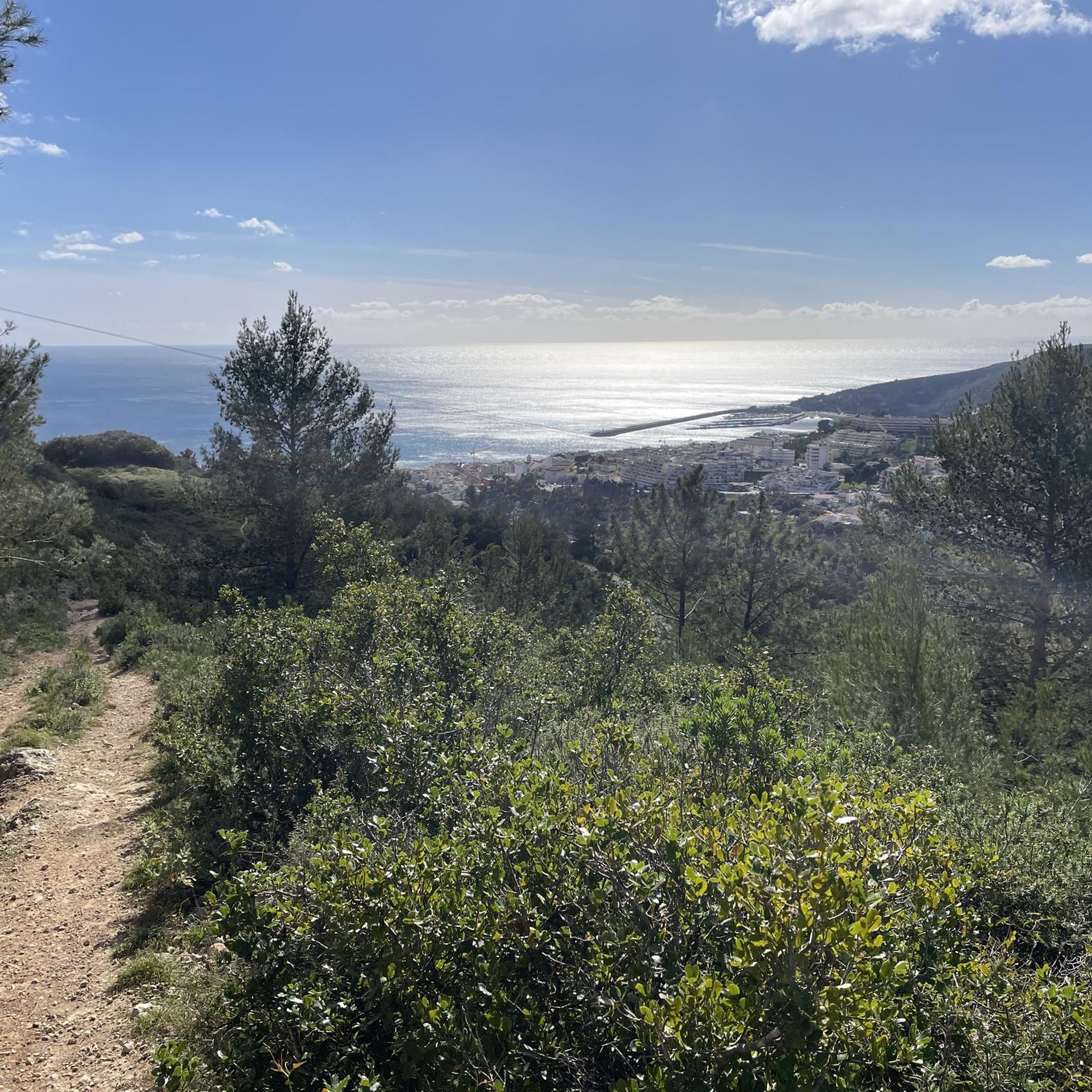
beautiful spot to sit and enjoy the view
0
0


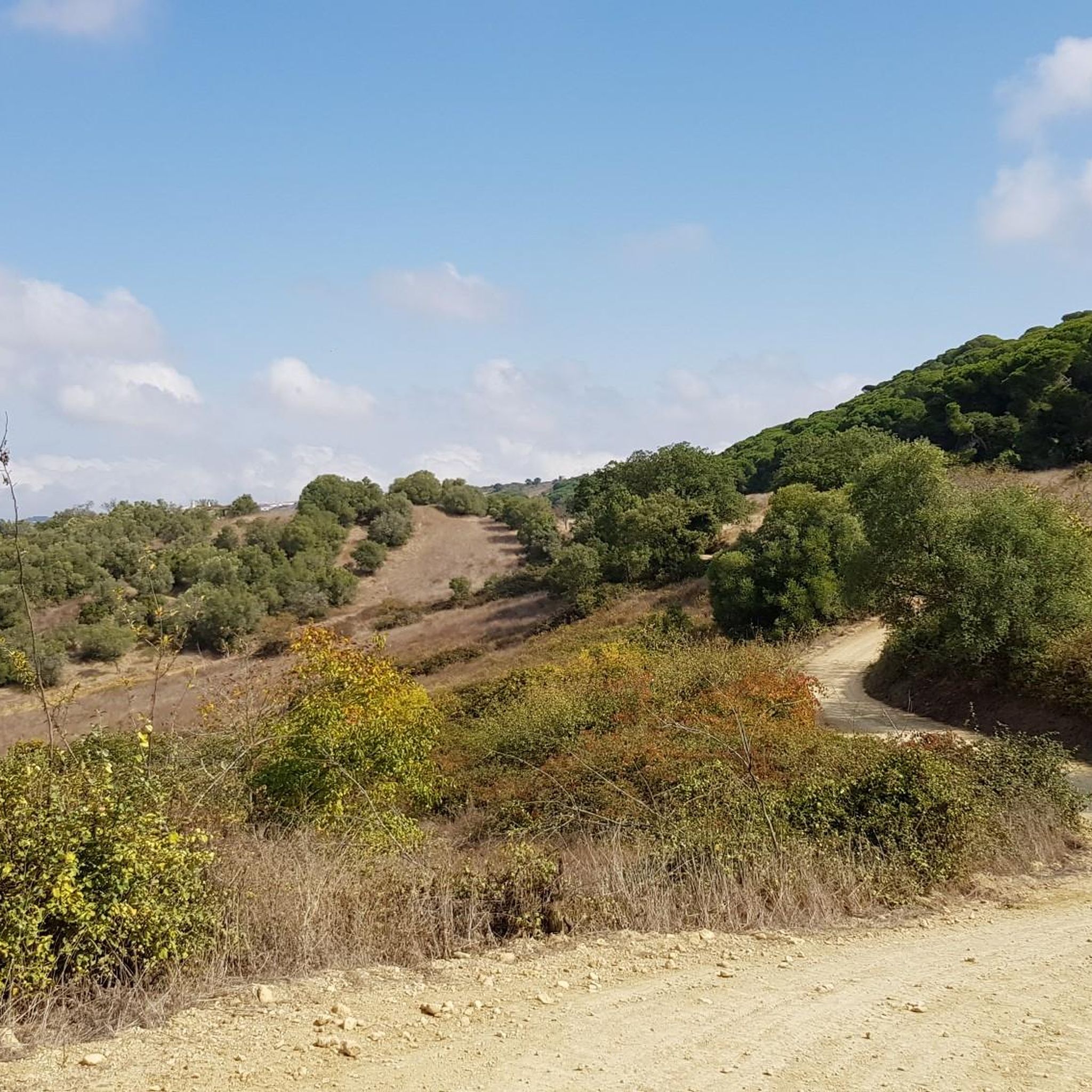
The Portuguese oak can be considered an intermediate species between the oaks of the north of the country and those of the south, that is, between the black oak and the oak, and the cork oak and holm oak. This tree grows slowly and inhabits habitats that are generally limiting for most other trees. Like the holm oak, the acorns of this oak are also used in the feed of the wild pig.
6
0
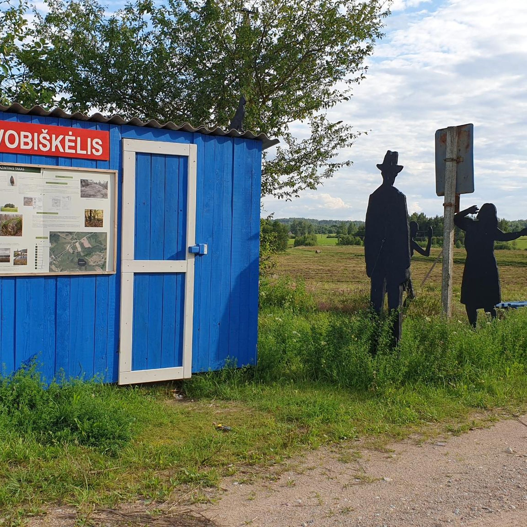
The rural Islamic site of Alto da Queimada, which we identified as a hilltop, was subjected to archaeological intervention between 1996 and 2005. The village shows signs of previous occupation, from the Roman and pre-Islamic periods, with continuity of settlement being recognised, attributable to the great fertility of the region and the good location and defence conditions. The peasant population that, in the Islamic period, structured and inhabited the hilltop from the Emiral period until the beginning of the 11th century, maintained undeniable fiscal and cultural links to the castle of Palmela. The hilltop is defined in a west-east direction, with rectangular houses, with rough stonework associated with walls obtained from the local rock and roofs made of perishable materials. Spaces with functions linked to daily agricultural and pastoral life are defined, namely storage areas, but also others of a religious nature. The signs of a predominantly agricultural economy are evident in the collection of instruments and various utensils, but other activities are also documented, such as fishing, justified by the proximity of the Sado Estuary.
3
0
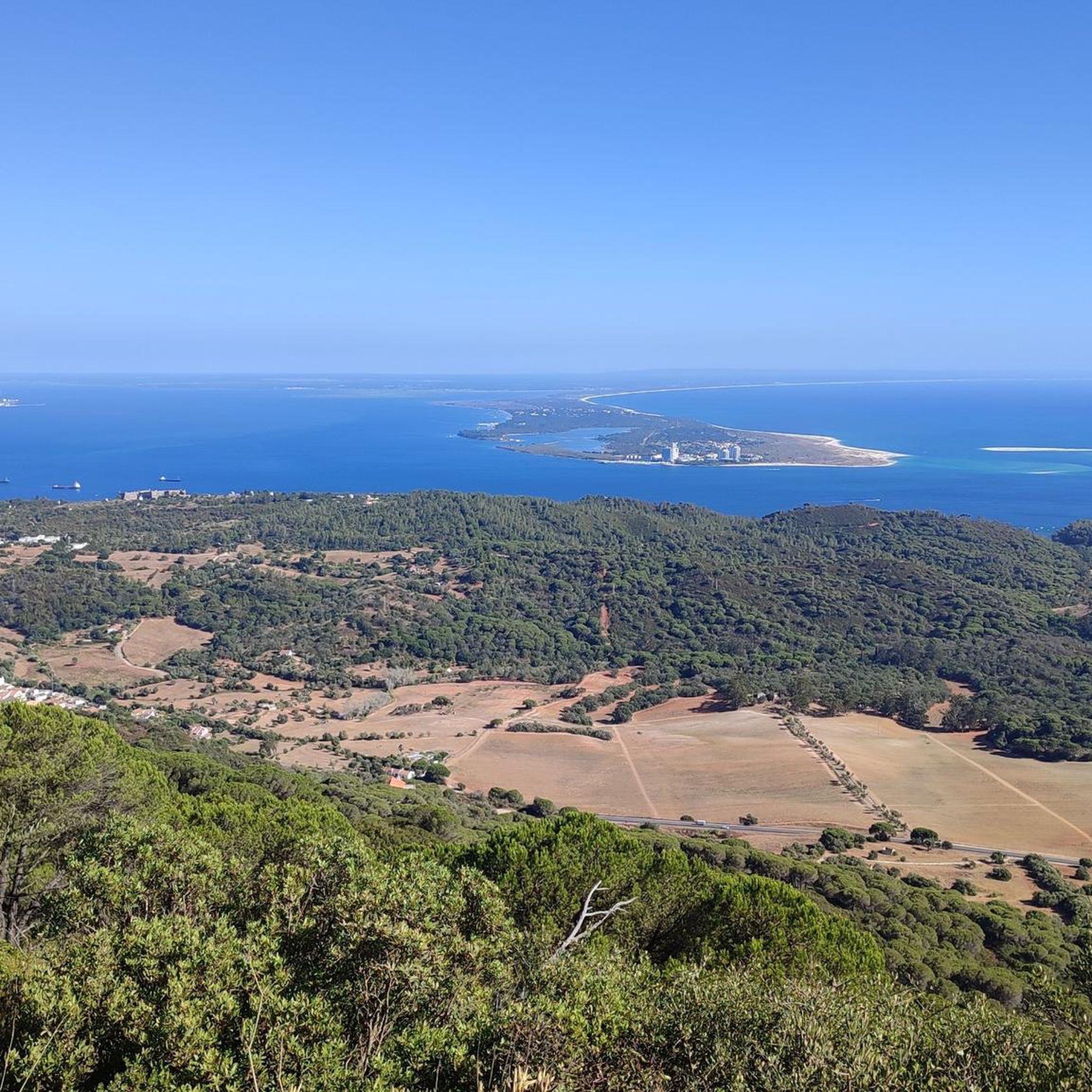
The Arrábida region holds valuable treasures and a variety of information about the geological evolution of the territory and its occupation since the Neolithic period. It is possible to discover and interpret all these signs in a simple and educational way along the Serra do Louro and Quinta do Anjo mountain range, where you can see beds of fossilized oysters and corals and a large number of archaeological remains in the form of engravings, settlements, hill forts and tombs excavated in the rock. It is also a privileged location for the global observation of all the orography related to the formation of the Serra da Arrábida. The geodetic marker marks the highest point of the Serra do Louro. At an altitude of 224 m, you can see, to the south, the Serra de São Luís (398 m), the Serra dos Gaiteiros (229 m) and the Vale dos Barris. In this location, you can also see a bed of fossilized oysters. The oldest lands in Arrábida date back to around 200 million years ago, at the beginning of the Jurassic, with the oyster beds being one of the testimonies of other geological times.
5
0
One of the most important remains of prehistory is a set of four artificial caves, excavated in the rock, which served as collective burial places for the people of the region for around 1,000 years during the Chalcolithic Period (Copper Age). The deceased was placed – in the foetal position, accompanied by a series of ceremonies and offerings – inside the tomb, which, due to its shape, imitated a mother's womb, symbolising a return to the origin of life and a tribute to fertility. The four artificial caves at Quinta do Anjo are funerary monuments with unique characteristics, dating back to the Final Neolithic (around 4,500 years ago) and which continued to be used as collective burial sites during the Copper Age. They were excavated in the rock to form circular compartments, which are accessed via a corridor and an antechamber.
5
0
At the top of the Serra do Louro stand the windmills which, in the not so distant past, were an important industry for processing cereals. The force of the wind hits the open sails, turning an axle, which in turn transmits the rotation to a limestone stone that rotates on another fixed one. These stones, called "millstones", receive the cereal grains between them, transforming them into flour.
6
0
Frequently Asked Questions
How many hiking trails are there in Moita?
There are over 35 hiking trails around Moita, offering a diverse range of options for different preferences and fitness levels. These include easy walks, moderate excursions, and some more challenging routes.
What is the general terrain like for hiking around Moita?
The terrain around Moita is characterized by gentle hills, open agricultural areas, and pockets of Portuguese oak woodlands. Trails often feature a mix of dirt paths and paved sections, providing varied surfaces for walking.
Are there easy hikes suitable for beginners in Moita?
Yes, Moita offers 11 easy hiking routes perfect for beginners or those looking for a relaxed walk. These trails typically have minimal elevation changes and are suitable for most fitness levels.
Are there any challenging hiking routes around Moita?
For more experienced hikers, there are 5 challenging routes available. One such route is the Descent of the Cows – Chapel of São Luís da Serra loop from Palmela, which covers over 22 km and involves significant elevation gain.
Are there circular walks available in Moita?
Many of the hiking routes in Moita are designed as circular loops, allowing you to start and end at the same point. Examples include the Alcaria of Alto da Queimada – Portuguese oak loop from Palmela and the Alcaria of Alto da Queimada – Descent of the Cows loop from Quinta do Anjo.
What kind of landscapes can I expect to see on hikes in Moita?
Hiking in Moita will take you through diverse landscapes including open fields, agricultural lands, and beautiful Portuguese oak woodlands. Some trails also offer views of the surrounding countryside and pass near historic towns.
Are there any viewpoints or scenic spots along the trails?
Yes, the region features several scenic spots. You can find excellent views from the São Luís Lookout, and some trails offer panoramic vistas of the Setúbal and Tróia Peninsula from Parque Natural da Arrábida.
What can I explore or see near the hiking trails in Moita?
Beyond the trails, you can explore historical sites like the impressive Castle of Palmela, or visit natural attractions such as the Salinas do Samouco. The Windmills of Serra do Louro also offer an interesting sight.
Can I hike with my dog in the Moita area?
Many trails in the Moita region are suitable for hiking with dogs, especially those that traverse open fields and woodlands. However, it's always recommended to keep your dog on a leash and check specific trail regulations, particularly in protected agricultural areas.
Are there family-friendly walks around Moita?
Yes, Moita has several easy and moderate trails that are suitable for families. These routes often feature gentle terrain and shorter distances, making them enjoyable for all ages. Look for trails that pass through woodlands or open fields for a pleasant family outing.
What do other hikers enjoy most about hiking in Moita?
The hiking routes in Moita are highly rated by the komoot community, with an average score of 4.7 stars. Reviewers often praise the region's varied terrain, the peaceful atmosphere of the oak woodlands, and the well-maintained paths that make for enjoyable excursions.
Is parking available near the trailheads in Moita?
Parking is generally available near many of the popular trailheads and starting points in Moita, especially in and around towns like Palmela and Quinta do Anjo. It's advisable to check the specific starting point of your chosen route for detailed parking information.
Most popular attractions around Moita

Get inspired with the komoot mobile app


Explore more
Browse the best Hikes in other regions.
