The 14 Most Amazing Peaks around Sankt Ruprecht an der Raab
Best mountain peaks around Sankt Ruprecht an der Raab are found within a region characterized by rolling hills and elevated areas in Styria, Austria. The landscape offers various natural attractions and vantage points. Elevations in the area generally range from 388 to 526 meters, providing accessible high points for exploration. These locations offer scenic vistas and opportunities for outdoor activities.
Best mountain peaks around Sankt Ruprecht an der Raab
- The most popular mountain peaks is Hoher Zetz summit cross,…
Last updated: July 7, 2026
Hoher Zetz summit cross
Highlight • Summit
Translated by Google •
Tip by

Kleeberg Observation Tower
Highlight • Viewpoint
Translated by Google •
Tip by

Sign up now to discover places like this
Get recommendations on the best single tracks, peaks, & plenty of other exciting outdoor places.
Sign up for free
Kulm Summit
Highlight • Summit
Translated by Google •
Tip by

Patscha Summit Cross
Highlight • Summit
The 1271 meter high summit is very wooded, which is on the one hand very idyllic, but on the other hand only offers a limited view.
Translated by Google •
Tip by
Wittgruberhof Inn
Highlight • Mountain Hut
Intertrain has already embedded the link to the website ⬆️
The farm seems to be very well attended, probably especially on beautiful days like today 🌞
Translated by Google •
Tip by
Sign up for free to discover even more peaks around Sankt Ruprecht an der Raab.
Sign up for free
Already have an account?
Start today with a free account
Your next adventure awaits.
Login or Signup
Popular around Sankt Ruprecht an der Raab
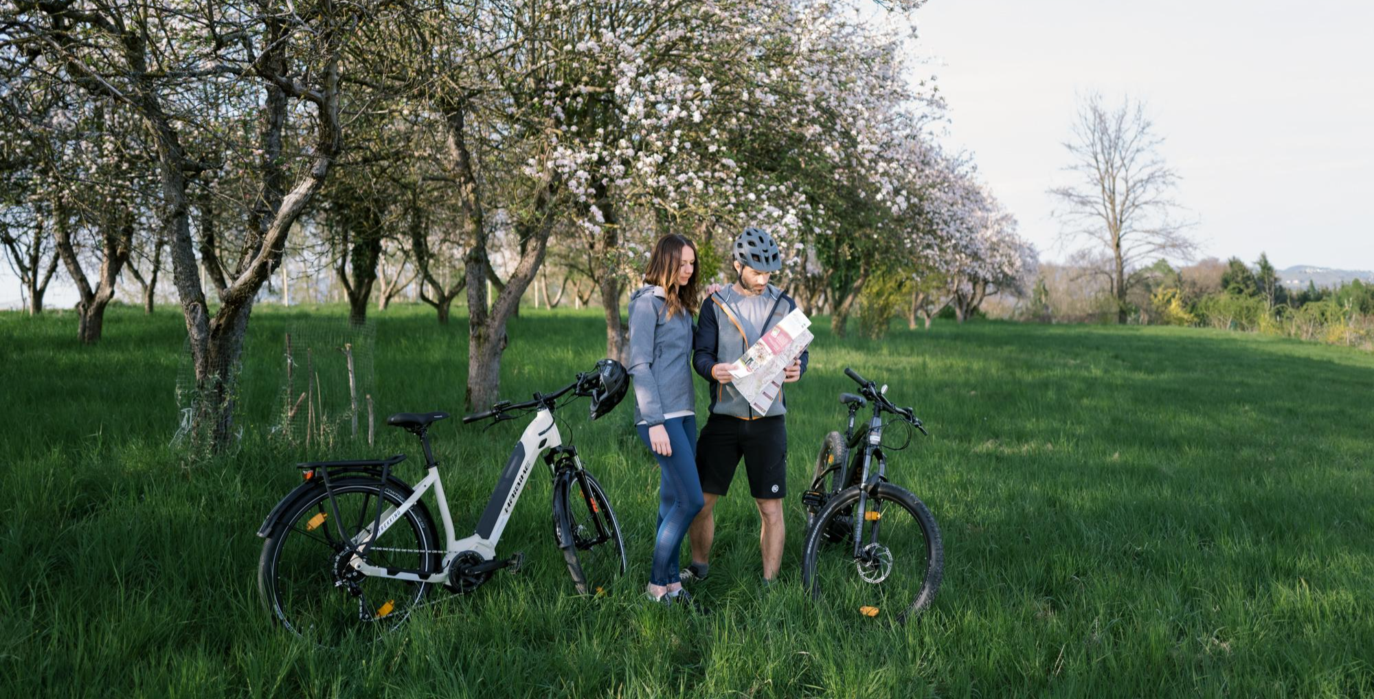
East Styria Loop – Styria Wine Country Cycle Tour
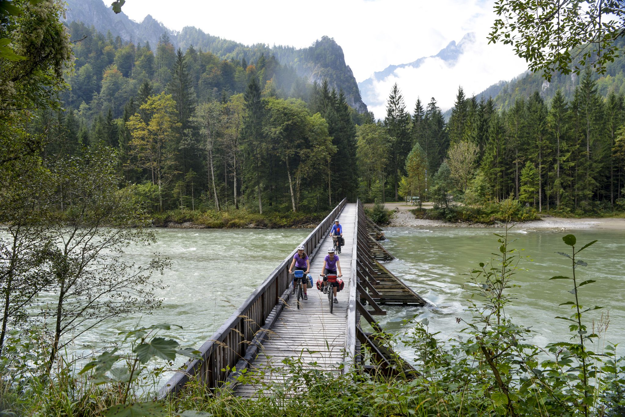
The most beautiful bike rides in Styria
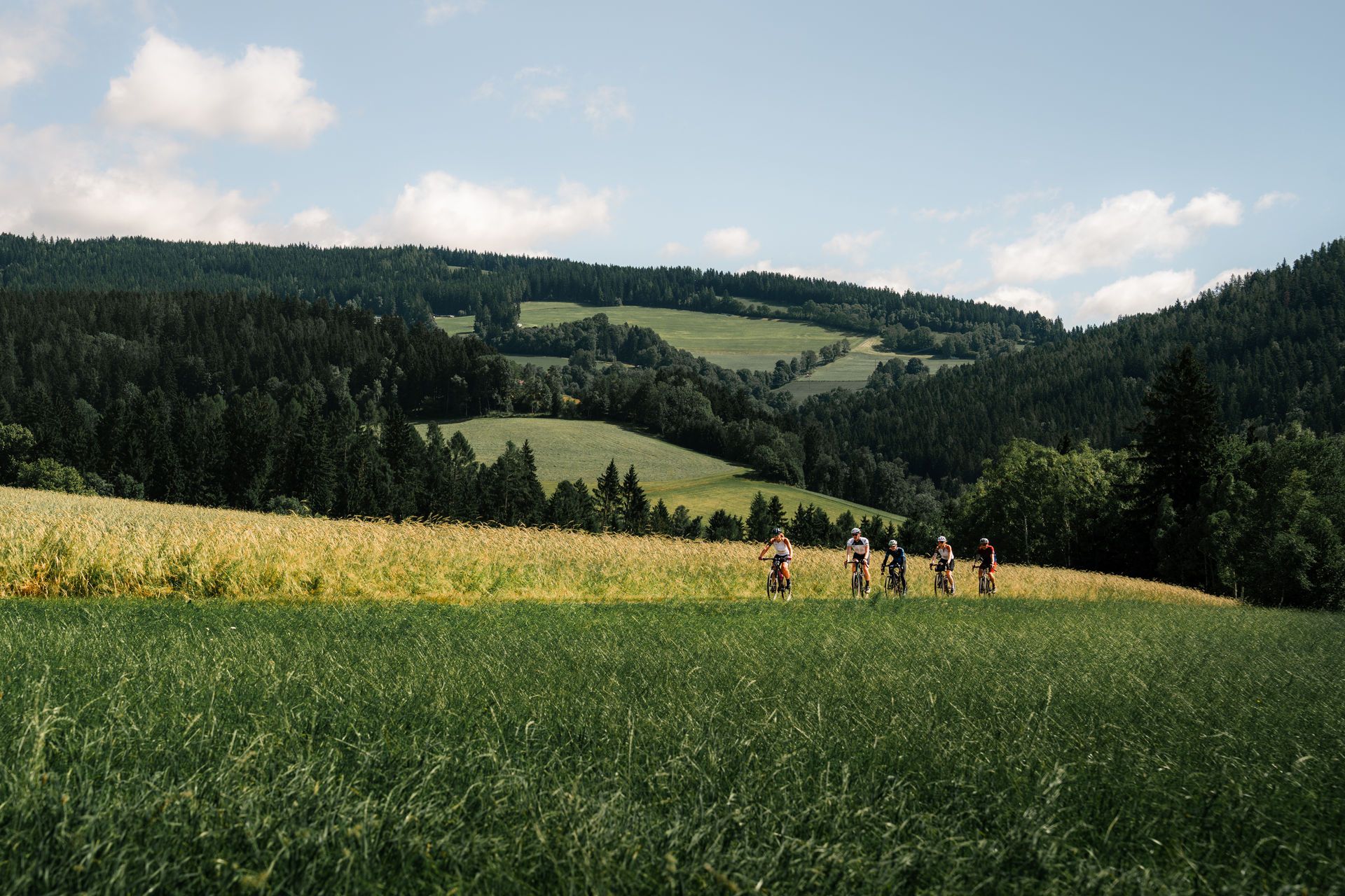
Spring awakening – through Eastern Styria on two wheels
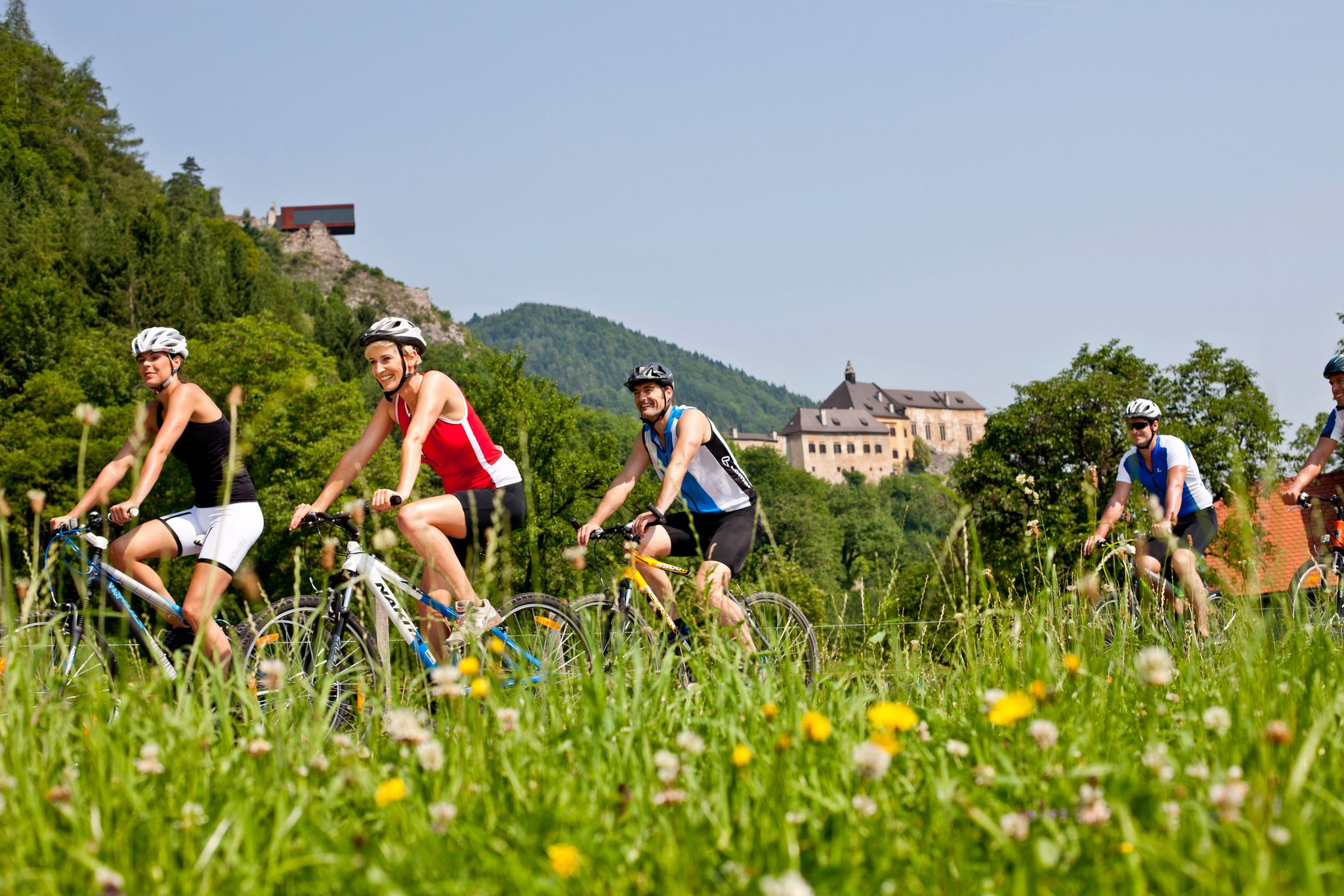
Discover the most beautiful sides of Styria by bike
Road Cycling Routes around Sankt Ruprecht an der Raab
Cycling around Sankt Ruprecht an der Raab
Hiking around Sankt Ruprecht an der Raab
Running Trails around Sankt Ruprecht an der Raab
MTB Trails around Sankt Ruprecht an der Raab

Gravel biking around Sankt Ruprecht an der Raab
Other adventures around Sankt Ruprecht an der Raab


Tips from the Community

Before the cross crowning the summit of the 'Hoher Zetz' here, I would like to recall a fitting thought from Bishop Reinhold Stecher (*1921, + 2013). Martin Kolozs, in a podcast by ORF, paid tribute to the beloved pastor: „Above all, the mountains... he preferably chose them as a symbol of the often questioned, often burdened, but equally often confirmed relationship between man and God, which manifests itself wonderfully and healingly in experiences with nature. For Reinhold Stecher, who climbed all the peaks around Innsbruck and celebrated countless mountain masses, respect for and protection of God's creation were equivalent to divine worship, as he was rock-solidly convinced: »Many paths lead to God. One leads over the mountains.« (Source: https://oe1.orf.at/programm/20180202/503400/Martin-Kolozs-ueber-Reinhold-Stecher )
0
0

... at least once a week "up there" :-)
0
0

the last few meters up to the lookout point...the efforts are rewarded with a beautiful panorama
0
0
a great observation tower on the Kleeberg; from here you have a great view
0
0

The Patscha summit is also called Patscha mountain. The 1271 meter high summit is very wooded, which is on the one hand very idyllic, but on the other hand only offers a limited view.
8
0
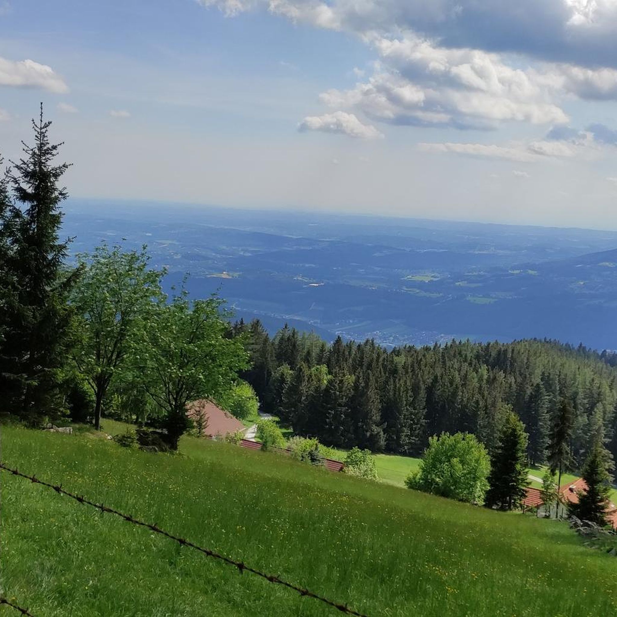
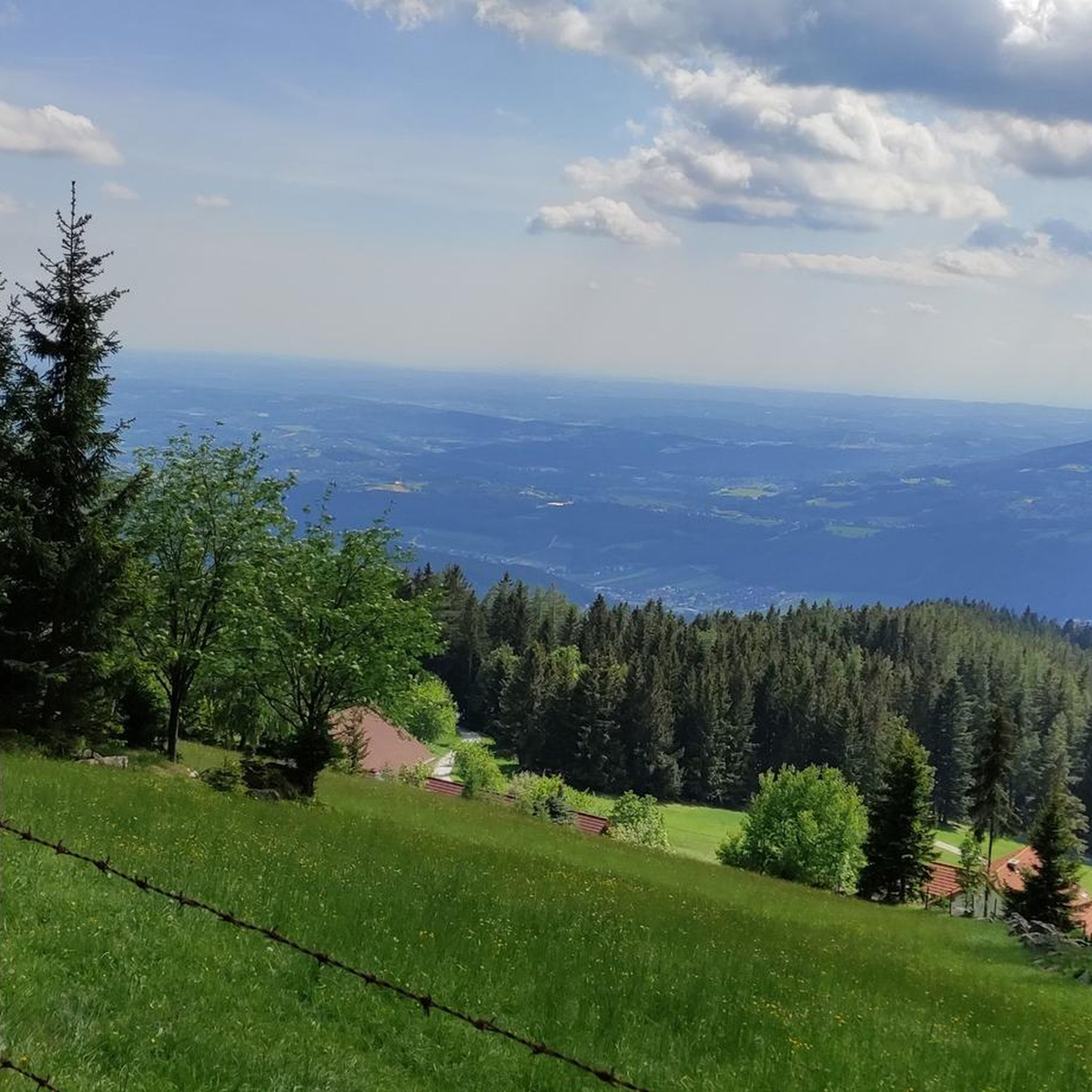
From the summit cross of the Hoher Zetz you have a beautiful view towards Schöckl, the Sommeralm with the Plankogel 🗻 and to the east of the Kulm and Burgenland 🌞 On very clear days all the way to Hungary 🌏 Since you are allowed to park at the Gschnaidter Kreuz at around 825 meters above sea level, it is also possible to stay there until sunset 🌄, as on the way back you can also choose forest paths for the descent, with the exception of the first hundred meters in altitude 🌜🦊
8
0
🍺🎺 Nice rural atmosphere with folk music 🎻🍲 Intertrain has already embedded the link to the website ⬆️ The farm seems to be very well attended, probably especially on beautiful days like today 🌞
6
0

The observation tower on Kleeberg has over 140 steps, which stands out due to its striking shape and architecture (and somehow doesn't fit into the landscape at all). There is a turnstile in front of the first steps. In my case it was open in winter (despite a thin layer of snow on the steps and platforms). Surface made of tear-plate (wasn't slippery today), on some platforms there are glass walls that provide a bit of protection from the wind. On a clear day you can see from Geschreibenstein in Burgenland to Slovenia and also many Styrian and Carinthian mountains.
1
0
Frequently Asked Questions
What kind of views can I expect from the elevated points around Sankt Ruprecht an der Raab?
The elevated points in the region offer diverse panoramic views. From the Hoher Zetz summit cross, you can see towards Schöckl, the Sommeralm, the Kulm, and the Graz mountains. On very clear days, views can extend all the way to Hungary. The Kleeberg Observation Tower provides expansive views of the surrounding landscape, while the Kulm Summit offers a grandiose view of the East Styrian hills due to its prominent position.
Are there any family-friendly elevated spots or viewpoints in the region?
Yes, the Kleeberg Observation Tower is considered family-friendly. Located on the 499-meter-high Kleeberg hill, it features 140 steps to reach the viewing platform, making it an accessible and rewarding destination for families.
What are some recommended hiking trails to experience the region's elevated areas?
The Panorama Path (Panoramaweg) is a highly recommended circular hiking trail. It's an easy 10 km hike, taking approximately 3 hours, and reaches a high point of 483 meters. This path offers diverse views of the landscape and passes through picturesque forests in the Upper Raab Valley. For more options, you can explore easy hikes around Sankt Ruprecht an der Raab.
What natural features, besides mountain peaks, can I explore in the area?
Beyond the elevated points, the Raabklamm (Raab Gorge) is a significant natural highlight. It's the longest continuous gorge in Austria, extending over 17 kilometers. The 'Große Raabklamm' section is part of the Natura 2000 network, known for its diverse flora and fauna, including rare birds. It offers a wild and romantic atmosphere with rocky cliffs and rushing water, ideal for hiking.
Are there any places to eat or rest near the hiking trails or viewpoints?
Yes, near the Kleeberg Observation Tower, there is a tavern called 'Maier couple' that offers typical regional dishes. Additionally, the Wittgruberhof Inn is a popular spot known for its sensational panorama, cozy atmosphere, and good food, serving as both a starting and ending point for interesting hikes.
What is the best time of year to hike the mountain peaks and trails around Sankt Ruprecht an der Raab?
The region's trails, such as the Panorama Path, are particularly enjoyable in summer, as sections of forest provide welcome shade. Generally, spring through autumn offers pleasant conditions for hiking and enjoying the scenic vistas. The rolling hills and lower elevations make many routes accessible for a good part of the year.
Can I find circular hiking routes in the Sankt Ruprecht an der Raab area?
Yes, the Panorama Path (Panoramaweg) is a well-known circular hiking trail. It allows you to experience various vantage points and picturesque forests in a loop. Many of the easy hikes around Sankt Ruprecht an der Raab are also designed as loops.
What other outdoor activities are available near the mountain peaks?
Besides hiking, the region offers excellent opportunities for cycling. You can find various routes for road cycling and gravel biking. Popular options include the Raab Valley Cycle Trail and tours through the Apple Country.
What makes the <a href="https://www.komoot.com/highlight/274494" target="_blank" rel="noopener">Hoher Zetz summit cross</a> a notable destination?
The Hoher Zetz summit cross is a popular hiking destination offering beautiful views towards Schöckl, the Sommeralm, and the Kulm. It's also known for its wide, flat summit area with wooden benches, perfect for relaxing. Visitors can park at Gschnaidter Kreuz, making it accessible for enjoying sunsets.
Is the <a href="https://www.komoot.com/highlight/651558" target="_blank" rel="noopener">Patscha Summit Cross</a> worth visiting despite its limited view?
Yes, the Patscha Summit Cross, at 1271 meters high, is a destination for leisurely hikes. While the summit is very wooded and offers a limited view, it provides an idyllic natural setting. The hike up Patschaberg can be extended as desired, for example, to Gschaid/Eibisberg, making it a pleasant experience for nature lovers.
What is unique about the <a href="https://www.komoot.com/highlight/379990" target="_blank" rel="noopener">Kulm Summit</a>?
The Kulm Summit is unique due to its prominent position on the south-eastern edge of the Alps, providing an excellent view of the East Styrian hills. It offers a grandiose panoramic view in all directions, making it a significant viewpoint in the region.
Most popular routes around Sankt Ruprecht an der Raab
Most popular attractions around Sankt Ruprecht an der Raab

Get inspired with the komoot mobile app


Explore more
See even more amazing summits around Sankt Ruprecht an der Raab with these guides:
