The best running trails in John Muir Wilderness
5.0
(4)
565
runners
90
runs
Jogging in John Muir Wilderness offers access to an extensive network of trails within the Sierra Nevada crest in California. The region is characterized by majestic mountain peaks, including Mount Whitney, and features numerous alpine lakes and glacially carved terrain. Diverse ecosystems, ranging from Jeffrey pine forests at lower elevations to subalpine meadows, provide varied running environments.
Best jogging routes in John Muir Wilderness
- The most popular jogging route is Duck Pass Trail, a 7.5 miles (12.1 km) trail…
Last updated: October 10, 2026
28
runners
12.1km
01:45
520m
520m
Hard run. Very good fitness required. Mostly paved surfaces. Suitable for all skill levels.
20
runners
17.4km
02:33
780m
780m
Hard run. Very good fitness required. Mostly paved surfaces. Suitable for all skill levels.

13
runners
9.82km
01:31
520m
520m
Hard run. Very good fitness required. Mostly paved surfaces. Suitable for all skill levels.
7
runners
8.75km
01:04
170m
170m
Moderate run. Good fitness required. Mostly paved surfaces. Suitable for all skill levels.
6
runners
9.61km
01:25
430m
430m
Hard run. Very good fitness required. Mostly paved surfaces. Suitable for all skill levels.
Get access to more routes and recommendations from other explorers.
Already have an account?
Our route recommendations are based on thousands of hikes, rides, and runs completed by other people on komoot.
Start today with a free account
Your next adventure awaits.
Popular around John Muir Wilderness
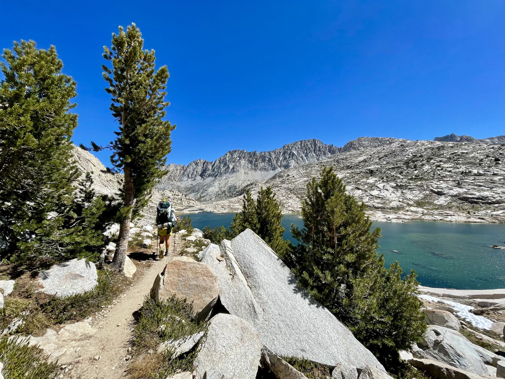
John Muir Trail – Along the legendary trail through the magical Sierra Nevada
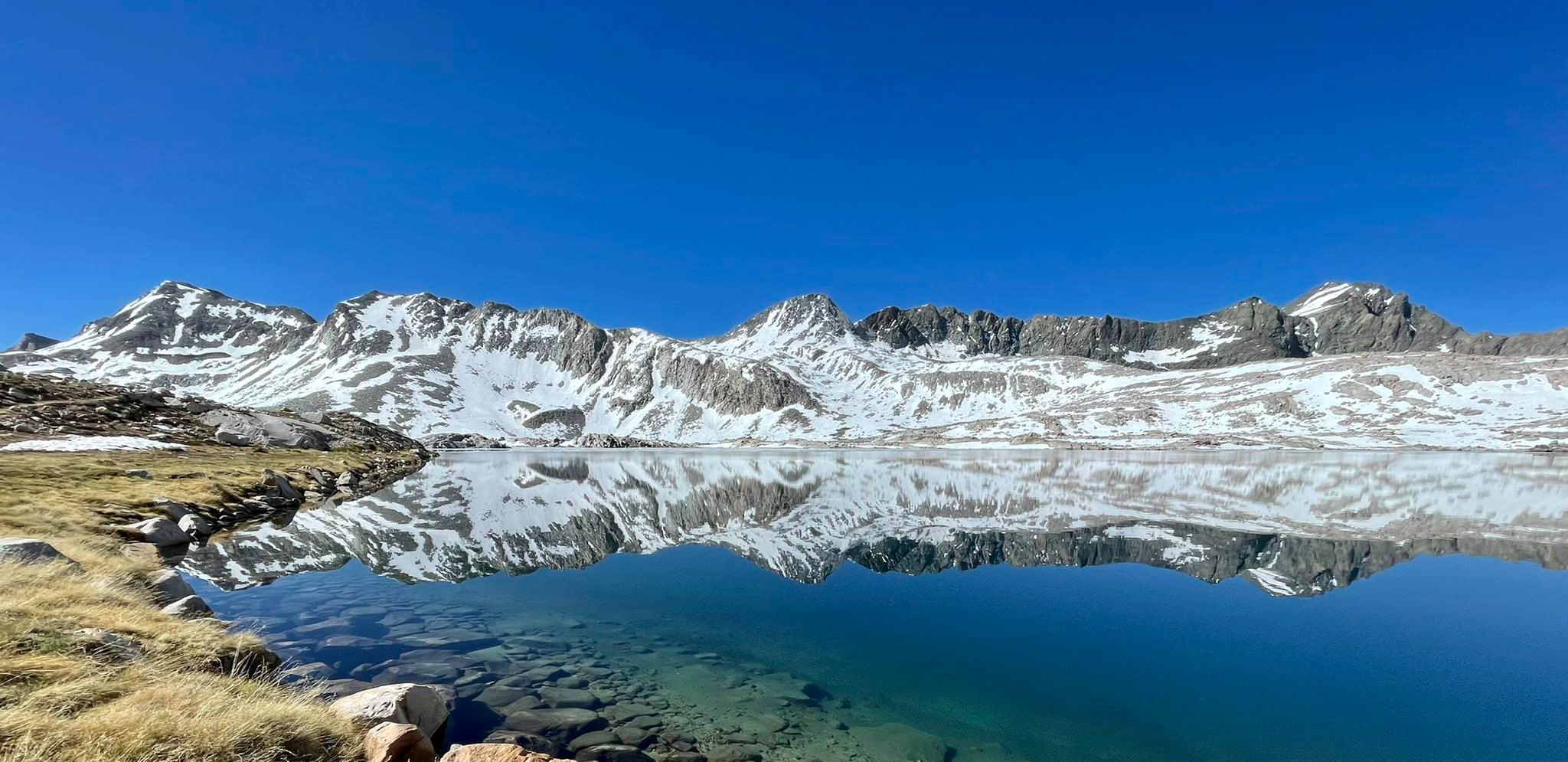
The Sierra High Route — Solitude in California's alpine country

Pacific Crest Trail from Mexico to Canada – 4,200 kilometres of wilderness
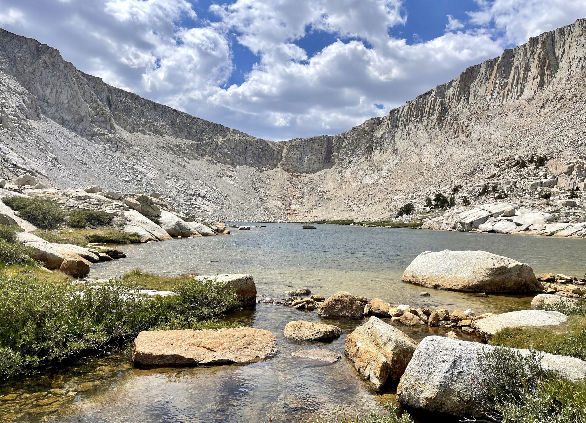
Cottonwood Lakes Loop — Exploring the Golden Trout Wilderness
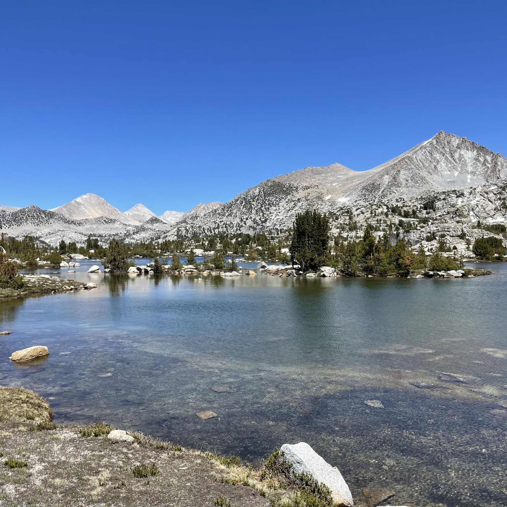
Hiking in John Muir Wilderness
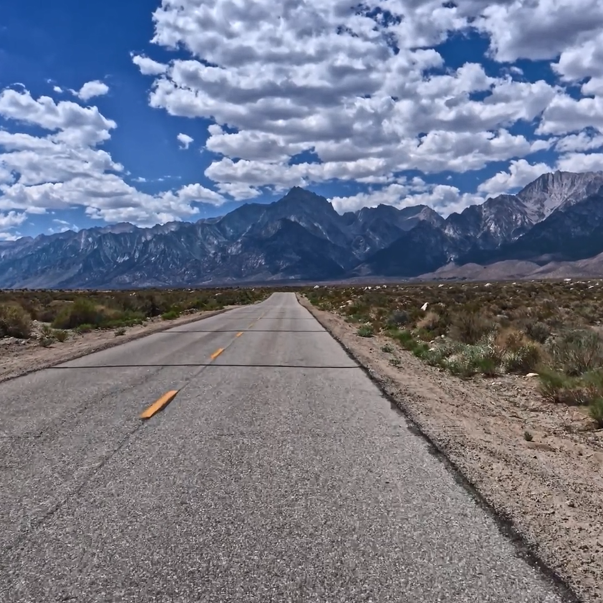
Road Cycling Routes in John Muir Wilderness
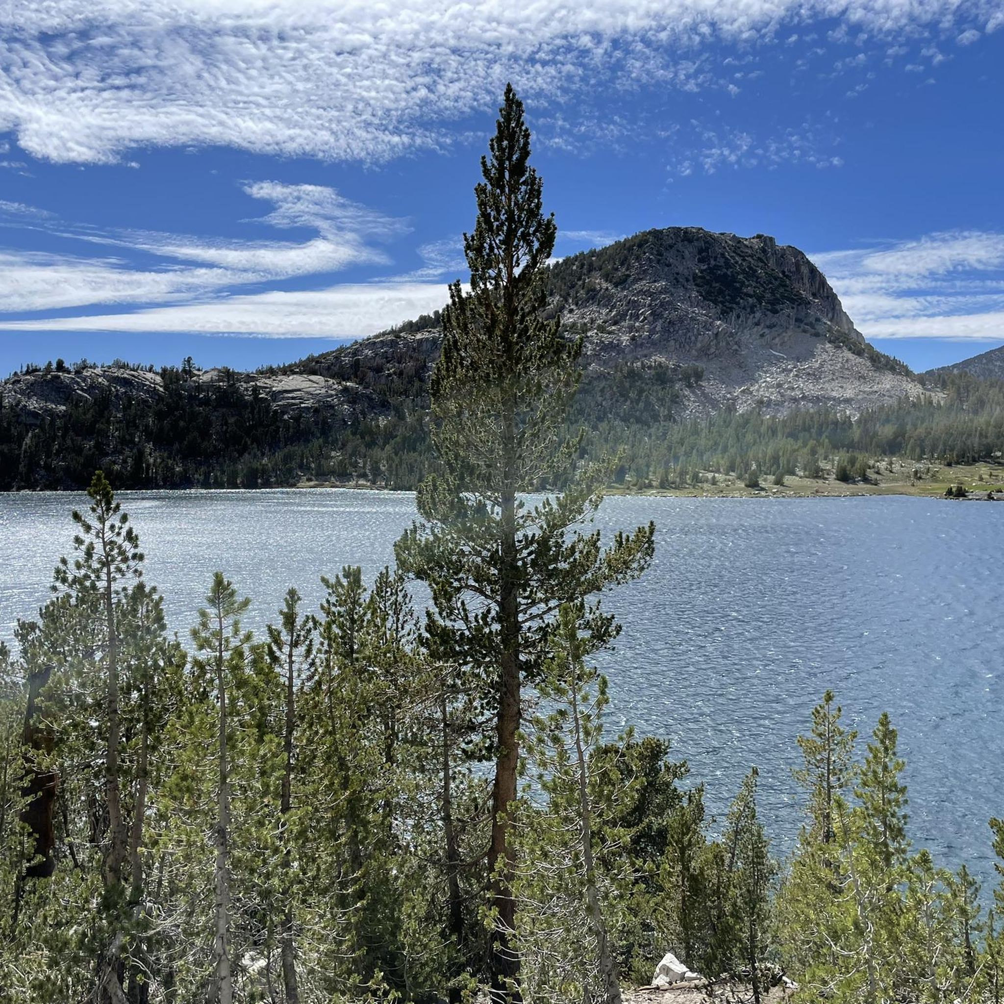
MTB Trails in John Muir Wilderness
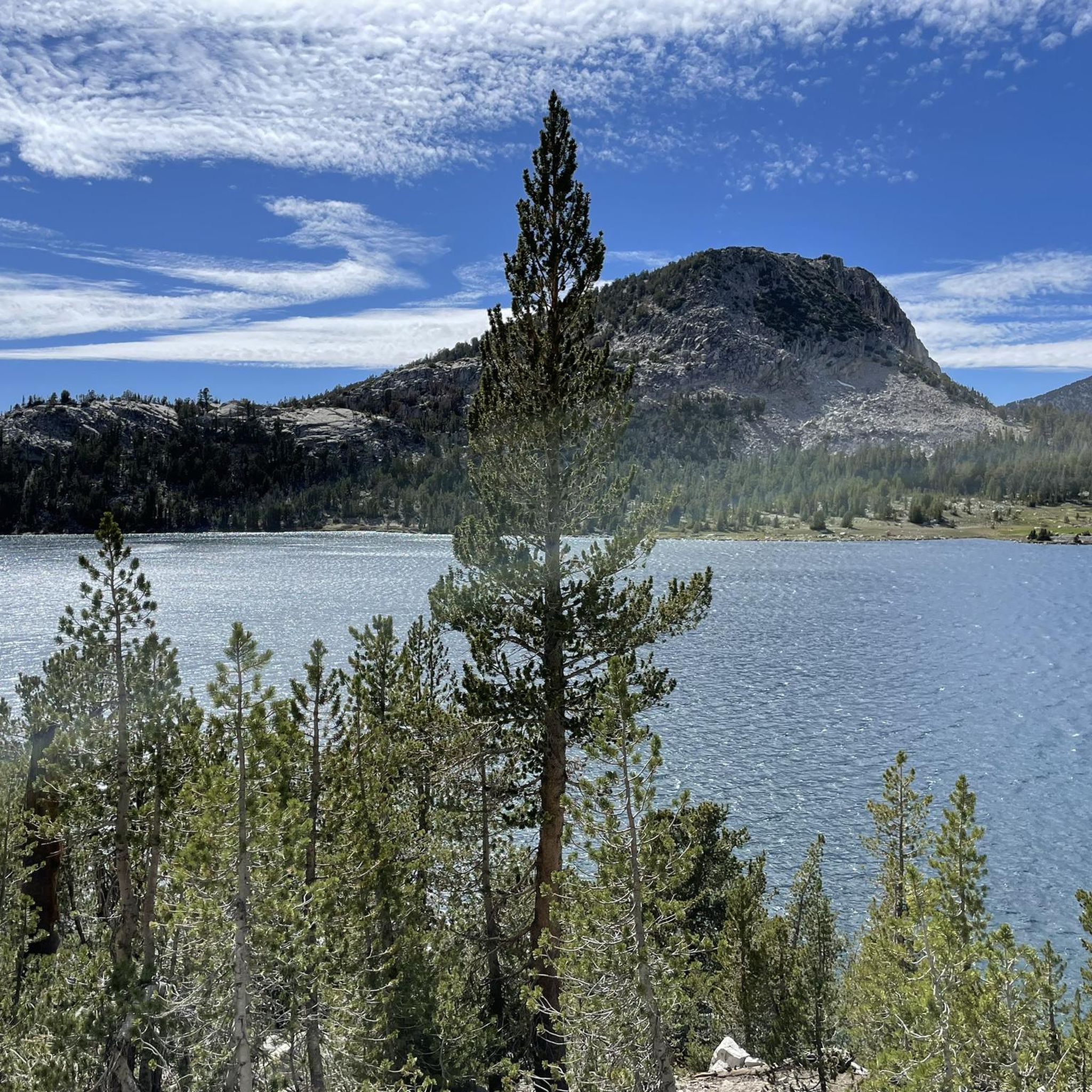
Cycling in John Muir Wilderness

Gravel biking in John Muir Wilderness
Other adventures in John Muir Wilderness


Tips from the Community


At 10,800 feet, this high mountain saddle is breathtaking, with sweeping views of Duck Lake and the surrounding Silver Divide peaks. It's the ultimate reward for the challenging ascent. Here, you can catch your breath in the crisp mountain air and enjoy the stunning Sierra Nevada vistas.
0
0

Heart Lake is one of the more popular lakes along the Little Lakes Valley Trail. The trail up to the lake is not too challenging and passes several old gold mines.
1
0

The pictures taken from this small rocky outcrop above Second Lake, marked here by a tentsite symbol, are ICONIC. If the pictures above look familiar, that’s because… well.. they are! Temple Crag from across Second Lake is one of the most frequently photographed “scenes” of the Eastern Sierras. Just a quick search on the internet of “Big Pine Lakes” will pull up countless pictures almost identical to each other of this exact lake/peak combo. (Seriously, try it 😂) And honestly, it’s easy to understand why! The setting is otherwordly!
1
0
FIRST Lake is, ironically, the LAST place for this water to rest before heading down through Big Pine Valley as the North Fork Big Pine Creek and entering, as a tributary, the Owens River 6,000ft below! To the east you are offered a lovely view to Mount Alice, while to the south Temple Crag commands your attention! The water in First Lake, as well as the ither Big Pine Lakes, often can be seen with a beautiful teal hue, caused by the refraction of sunlight on particles of glacial silt in the water!
0
0

Blue Lake sits just a few miles after South Lake, in a beautiful alpine landscape. After Blue Lake you can choose your path to many other pristine and isolated alpine lakes.
1
0
Frequently Asked Questions
What kind of terrain can I expect when running in the John Muir Wilderness?
The John Muir Wilderness offers a diverse range of terrain for runners. You'll encounter extensive trail systems, often traversing deep canyons and leading to majestic mountain peaks. The region is characterized by glacially carved landscapes, so expect varied surfaces, from forest paths at lower elevations to rocky, alpine terrain as you ascend. Elevations range significantly, from 4,000 feet to nearly 14,500 feet, providing both challenging ascents and more gradual routes.
Are there any easy running routes for beginners in the John Muir Wilderness?
Yes, while many routes are challenging, there are options suitable for beginners. The wilderness features 14 easy routes out of a total of 81. For example, the Little Lakes Valley Trail is a moderate option that offers beautiful scenery without extreme elevation gains, making it a good choice for those looking for a less strenuous run.
What are some of the most challenging running trails in the John Muir Wilderness?
For experienced runners seeking a challenge, the John Muir Wilderness has 31 difficult routes. Notable challenging trails include the North Fork Big Pine Creek Trail, which is 10.8 miles long with significant elevation gain, and the Mount Whitney Trail to Lone Pine Lake, which leads towards the lower slopes of Mount Whitney itself.
What natural features or landmarks can I see along the running routes?
The John Muir Wilderness is rich with stunning natural features. Many running routes offer views of the region's 957 alpine lakes, such as Skelton Lake, T.J. Lake, Crystal Lake, and Duck Lake. You can also experience dramatic mountain passes like Silver Pass and Kearsage Pass, which provide panoramic views. The wilderness is also home to towering peaks, including Mount Whitney, the highest point in the contiguous United States.
Do I need a permit to go running in the John Muir Wilderness?
Yes, permits are generally required for overnight stays in the John Muir Wilderness, and for day use in certain high-demand areas, especially during peak season. It's crucial to check with the relevant authorities (e.g., Inyo National Forest or Sierra National Forest) for the most current regulations regarding wilderness permits before your trip. This is particularly true for popular trails like those leading to Mount Whitney.
Are there any dog-friendly running trails in the John Muir Wilderness?
The John Muir Wilderness is generally dog-friendly, allowing leashed dogs on most trails. However, regulations can vary, especially in sensitive areas or near water sources. Always ensure your dog is on a leash and that you pack out all waste. It's recommended to check specific trail regulations before heading out, as some areas might have seasonal restrictions or specific rules for pets.
What is the best time of year to go running in the John Muir Wilderness?
The best time for running in the John Muir Wilderness is typically from late spring through early fall (roughly June to October). During these months, snow has usually melted from most trails, and the weather is more stable. However, conditions can change rapidly at higher elevations, so always be prepared for varying weather. Winter running is possible at lower elevations but requires specialized gear and knowledge of snow conditions.
What do other runners enjoy most about the John Muir Wilderness?
The John Muir Wilderness is highly rated by the komoot community, with an average score of 5.0 stars from 4 reviews. Runners often praise the breathtaking landscapes, the extensive and well-maintained trail system, and the sense of solitude and challenge offered by the high mountain scenery and alpine lakes. The diverse ecosystems also provide varied and engaging running environments.
Are there any circular running routes available?
While many trails in the John Muir Wilderness are out-and-back, there are opportunities to create circular routes by combining different trail segments, especially in areas with a dense network of paths. You can use komoot's route planner to discover and create custom circular routes that suit your preferred distance and difficulty, allowing you to explore more of the diverse landscapes.
Where can I find parking or trailhead access for running routes?
Trailhead access points for the John Muir Wilderness are typically found along major roads bordering the wilderness, such as Highway 395 on the eastern side. Many popular trailheads, like those for Big Pine Creek or Little Lakes Valley, have designated parking areas. However, parking can be limited, especially during peak season, and some trailheads may require a wilderness permit or a parking fee. It's advisable to arrive early or research specific trailhead access and parking availability in advance.
Are there any running routes that offer views of Mount Whitney?
Yes, several running routes provide stunning views of Mount Whitney, the highest peak in the contiguous United States. The Mount Whitney Trail to Lone Pine Lake offers direct views as you ascend its lower slopes. Other trails in the eastern Sierra Nevada may also offer panoramic vistas of Mount Whitney and the surrounding high peaks.
How many running routes are there in the John Muir Wilderness?
The John Muir Wilderness boasts an extensive network of trails, with over 80 running routes available on komoot. These routes cater to various skill levels, including easy, moderate, and difficult options, ensuring there's a trail for every type of runner.
Most popular routes in John Muir Wilderness
Most popular attractions in John Muir Wilderness

Get inspired with the komoot mobile app


Explore more
Browse the best Running Trails & Routes in other regions.
