The best road cycling routes in Ptarmigan Peak Wilderness
4.8
(16)
1,609
riders
25
rides
Road cycling routes in Ptarmigan Peak Wilderness provide access to the diverse landscapes surrounding this protected area in the Williams Fork Mountains of Colorado. The region features elevations ranging from around 8,600 feet, supporting ecosystems from aspen groves and lodgepole pine forests. Cyclists can experience panoramic views of the Gore Range, Tenmile Range, and Dillon Reservoir from routes in the vicinity. While direct cycling is not permitted within the wilderness boundary, the surrounding areas offer varied terrain for road cyclists.
…Last updated: October 15, 2026
5.0
(6)
380
riders
32.7km
01:38
300m
300m
Easy road ride. Great for any fitness level. Mostly well-paved surfaces and easy to ride.
86
riders
37.7km
01:50
230m
230m
Easy road ride. Great for any fitness level. Mostly well-paved surfaces and easy to ride.

61
riders
51.1km
02:46
1,000m
1,000m
Hard road ride. Very good fitness required. Mostly well-paved surfaces and easy to ride.
12
riders
Easy road ride. Great for any fitness level. Mostly well-paved surfaces and easy to ride.
29
riders
61.1km
03:07
720m
720m
Moderate road ride. Good fitness required. Mostly well-paved surfaces and easy to ride.
Get access to more routes and recommendations from other explorers.
Already have an account?
Our route recommendations are based on thousands of hikes, rides, and runs completed by other people on komoot.
Start today with a free account
Your next adventure awaits.
Popular around Ptarmigan Peak Wilderness
Tips from the Community

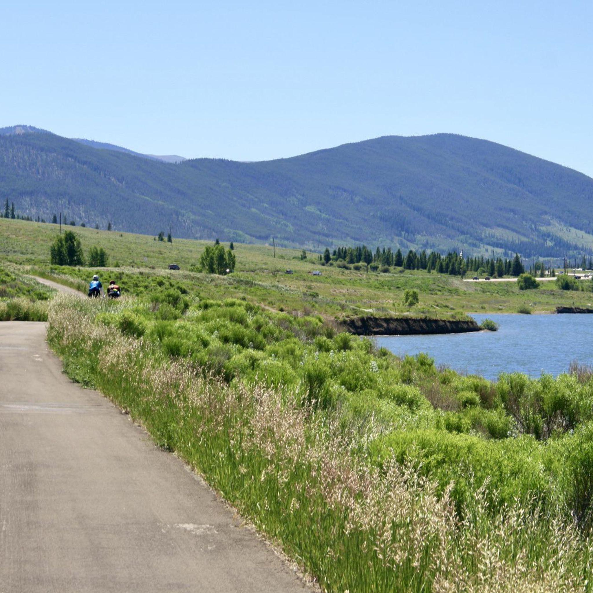
The Frisco Wetlands Bike Path is a scenic segment of the Summit County Recreational Pathway System, spanning the wetlands adjacent to Dillon Reservoir. This multi-use paved path begins at the Frisco Marina, continues around the reservoir, passes through campgrounds, crosses the Dillon Dam, and concludes at the town of Dillon.
1
0
The Frisco Historic Park & Museum features a collection of preserved buildings and artifacts, including 11 original structures from the late 19th and early 20th centuries. These include the 1902 Schoolhouse Museum, a log chapel, a jail, a trapper's cabin, and several historic homes, as well as Native American items and mining-era relics. Admission to both the park and the museum is free.
1
0

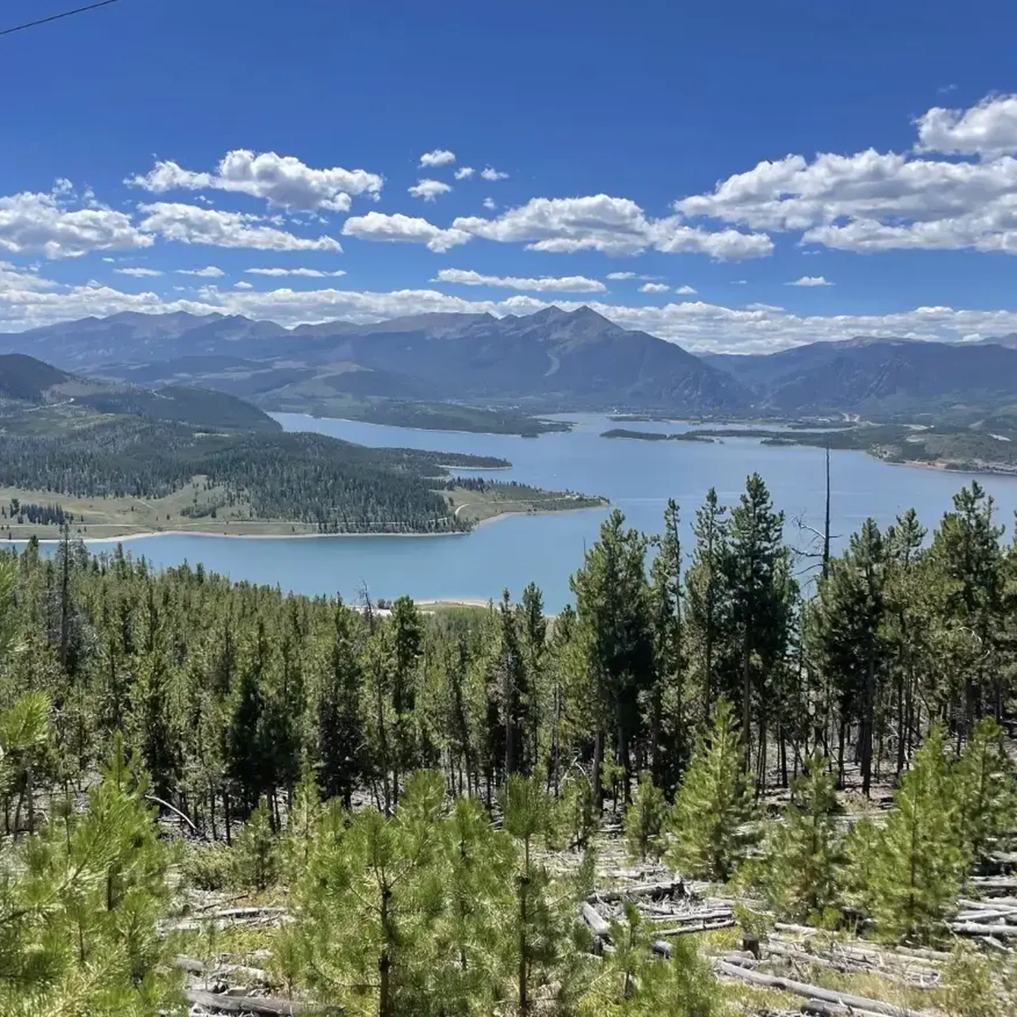
This is a scenic spot to look out over the reservoir. The dam itself was built in the early 1960s and required relocating the original town of Dillon, which is now sitting beneath the water. Today, the reservoir holds Denver’s largest water supply and sends it through a tunnel under the Continental Divide. Surrounded by mountain towns, Dillon Reservoir is a popular locale for boating, fishing, and summer concerts at the lakeside amphitheater.
0
0

Loveland Pass from Keystone is a fantastic high-altitude road biking challenge on US Highway 6, taking you over the Continental Divide. Starting around 9,200 feet at Keystone, you'll ascend approximately 8.5 to 11.5 miles, gaining about 2,600 to 3,000 feet to reach the 11,990-foot summit, with a steady average gradient typically in the 5.4-5.9% range. As you climb, you'll pass the Arapahoe Basin ski area and gradually transition into beautiful alpine meadows and forests before the final switchbacks above treeline offer dramatic views down to I-70 and expansive mountain vistas from the top of the pass. Be prepared for the significant altitude and potentially rapid weather changes at this elevation.
0
0
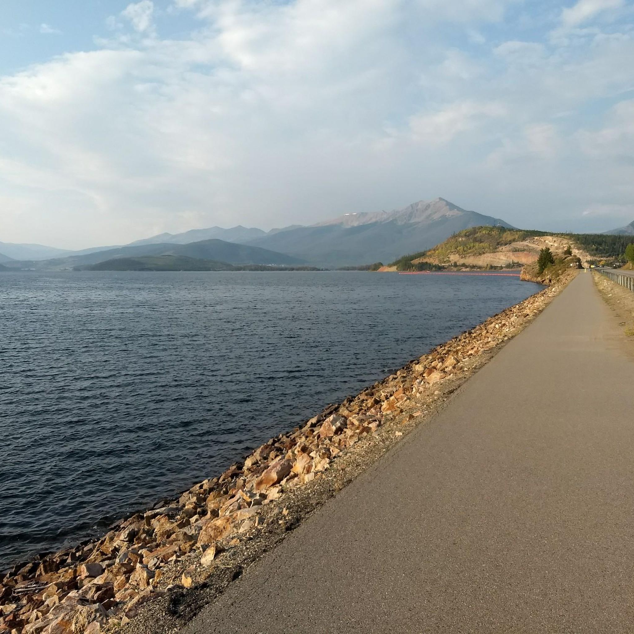
From the Dillion Reservoir Recpath there are great views of the south end of the Dillion Reservoir. The edge of the water is only a few feet away, and with the occasional tree obstructing the view, it is overall a great way to see the reservoir.
0
0

The Blue River Trail offers an easy, convenient, and scenic paved path to explore the surrounding nature. This path serves as a great corridor for people who want to ride their bikes to go shopping or nearby attractions. There’s is a pedestrian bridge crossing the river, and another small section of path on the west side.
0
0
The Dillon Nature Preserve is a popular summer and winter destination for hikers, XC skiing, snowshoeing, and fishing! There are numerous small paths that lead through wildflowers and take you down to the lake. The gravel road is plowed in the winter and this area is considered family friendly (including dogs)!
0
0
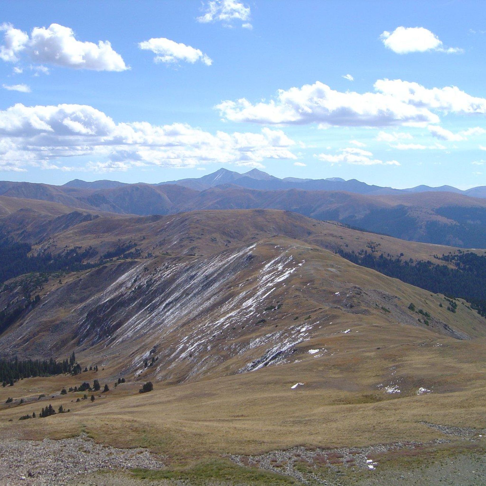
Ute Pass is an incredible scenic road stretching through the Arapaho National Forest. Along the way you will pass many tempting trailheads, experience stunning mountain views, and in the fall there are plenty of yellow leaves to peek at.
0
0
Frequently Asked Questions
How many road cycling routes are available around Ptarmigan Peak Wilderness?
There are over 20 road cycling routes available in the areas surrounding Ptarmigan Peak Wilderness. These routes offer diverse experiences, from easy loops to more challenging climbs, catering to various fitness levels.
Can I road cycle directly within the Ptarmigan Peak Wilderness boundaries?
No, road cycling is not permitted within the designated Wilderness Area itself due to prohibitions on mechanical transport. However, the surrounding areas provide excellent cycling routes that offer stunning views and access to the wilderness boundary.
What kind of terrain and scenery can I expect on road cycling routes near Ptarmigan Peak Wilderness?
Road cycling routes in the vicinity of Ptarmigan Peak Wilderness feature diverse landscapes. You'll encounter beautiful aspen groves and open sagebrush meadows at lower elevations, transitioning to lodgepole pine forests. Higher routes may offer panoramic views of the Gore Range, Tenmile Range, Continental Divide, and the expansive Dillon Reservoir.
Are there any easy road cycling routes suitable for beginners or families?
Yes, there are several easy routes perfect for beginners or families. The Dillon Reservoir Recpath Loop is a popular easy option, offering scenic views of the reservoir. Another great choice is the Dillon Reservoir Rec Path 🚴♂️ – Dillon Dam and Reservoir loop from Dillon, which circles the reservoir and passes by the Dillon Dam.
What are some challenging road cycling routes for experienced riders?
For experienced riders seeking a challenge, routes like Ute Pass from Silverthorne, Colorado offer significant elevation gain and longer distances. This route provides a rewarding climb with spectacular views.
Are there any loop road cycling routes in the area?
Yes, many routes in the area are loops. Popular options include the Dillon Reservoir Recpath Loop and the Dillon Reservoir Rec Path 🚴♂️ – Dillon Dam and Reservoir loop from Dillon, both offering circular tours around the scenic Dillon Reservoir.
What is the best time of year for road biking near Ptarmigan Peak Wilderness?
The best time for road biking is generally from late spring through early fall, when the weather is milder and roads are clear of snow. Summer months offer vibrant wildflowers and lush landscapes, while fall brings stunning aspen colors. Always check local weather conditions before heading out, especially at higher elevations.
Where can I find parking for road cycling routes?
Parking is typically available at trailheads and designated access points around popular cycling areas like Dillon Reservoir. Specific parking information can often be found on individual route pages on komoot or local tourism websites for towns like Silverthorne and Dillon.
What do other road cyclists enjoy most about cycling in this region?
The area is highly rated by the komoot community, with an average score of 4.3 stars from over 10 reviews. Cyclists often praise the stunning panoramic views of the surrounding mountain ranges and Dillon Reservoir, as well as the variety of routes catering to different skill levels.
Can I expect to see wildlife while road cycling?
While road cycling, you might encounter diverse wildlife, especially in quieter sections or during early morning and late evening rides. The region is home to elk, black bears, and various bird species. Always maintain a safe distance and never approach wildlife.
Are there any routes that pass by historical viewpoints or notable landmarks?
Yes, routes like the Historic viewpoint – Dillon Dam & bike path loop from Dillon lead through areas with historical viewpoints and along the significant Dillon Dam, offering both scenic beauty and points of interest.
Most popular routes in Ptarmigan Peak Wilderness

Get inspired with the komoot mobile app


Explore more
Browse the best Road cycling routes in other regions.
