The best walks and hikes in Ptarmigan Peak Wilderness
4.6
(59)
1,674
hikers
113
hikes
Hiking in Ptarmigan Peak Wilderness offers routes that ascend from sagebrush meadows and aspen groves into dense lodgepole pine forests. Located north of Silverthorne, Colorado, the region's trails climb towards high-altitude alpine tundra. The landscape is characterized by prominent mountains like Ptarmigan Peak and Ute Peak, with views across the Blue River Valley to the Gore and Tenmile mountain ranges.
Best hiking trails in Ptarmigan Peak Wilderness
- The most popular hiking route is Ute Peak via Acorn Creek Trail —…
Last updated: July 9, 2026
3.98km
01:12
210m
0m
Easy hike. Great for any fitness level. Easily-accessible paths. Suitable for all skill levels.
9.56km
03:06
670m
20m
Moderate hike. Good fitness required. Easily-accessible paths. Suitable for all skill levels.

Sign up for free
2.55km
01:00
310m
0m
Moderate hike. Good fitness required. Easily-accessible paths. Suitable for all skill levels.
4.7
(3)
49
hikers
4.86km
01:31
210m
200m
Easy hike. Great for any fitness level. Easily-accessible paths. Suitable for all skill levels.
4
hikers
20.3km
06:10
710m
700m
Hard hike. Very good fitness required. Easily-accessible paths. Suitable for all skill levels.
Get access to more routes and recommendations from other explorers.
Sign up for free
Already have an account?
Our route recommendations are based on thousands of hikes, rides, and runs completed by other people on komoot.
Start today with a free account
Your next adventure awaits.
Login or Signup
Tips from the Community

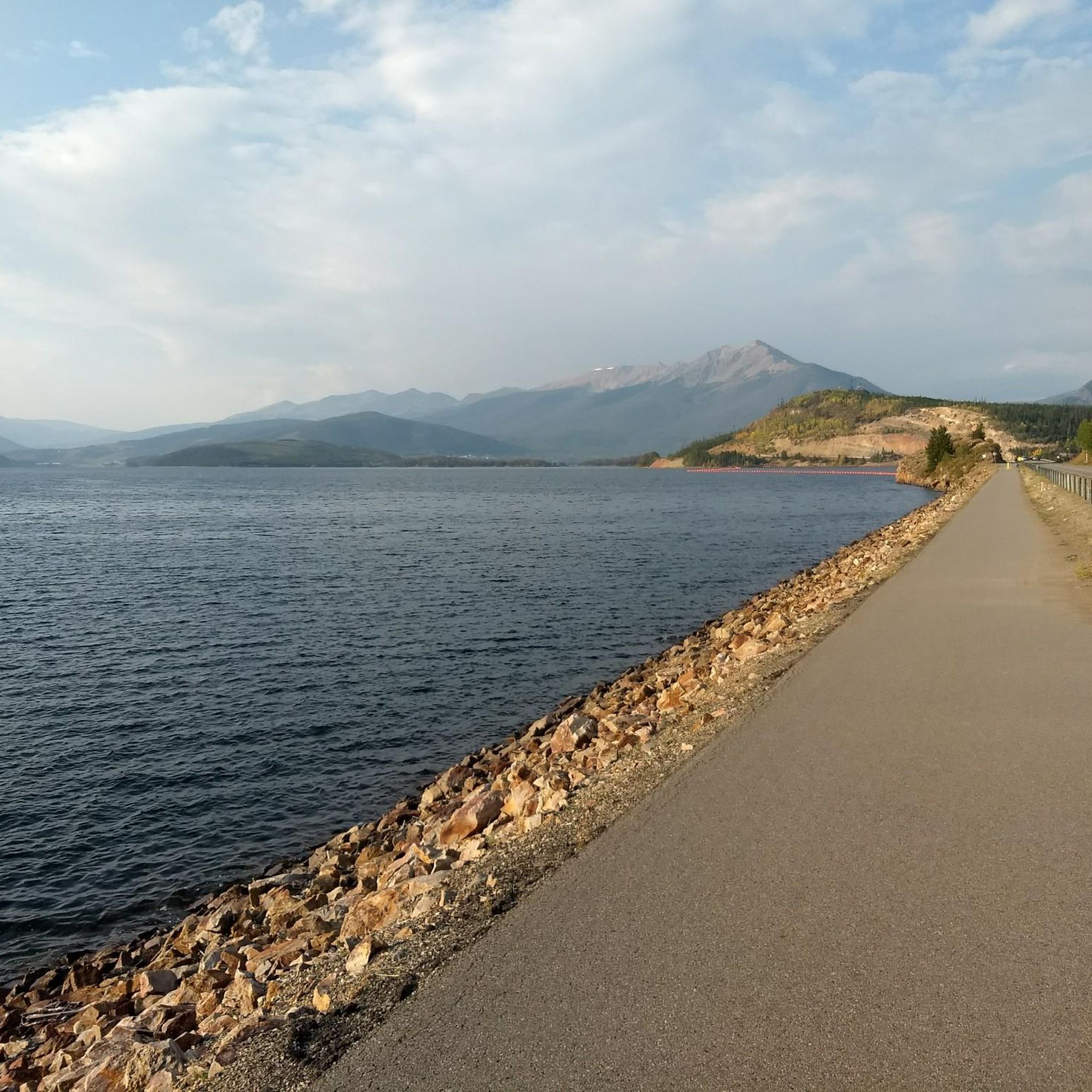
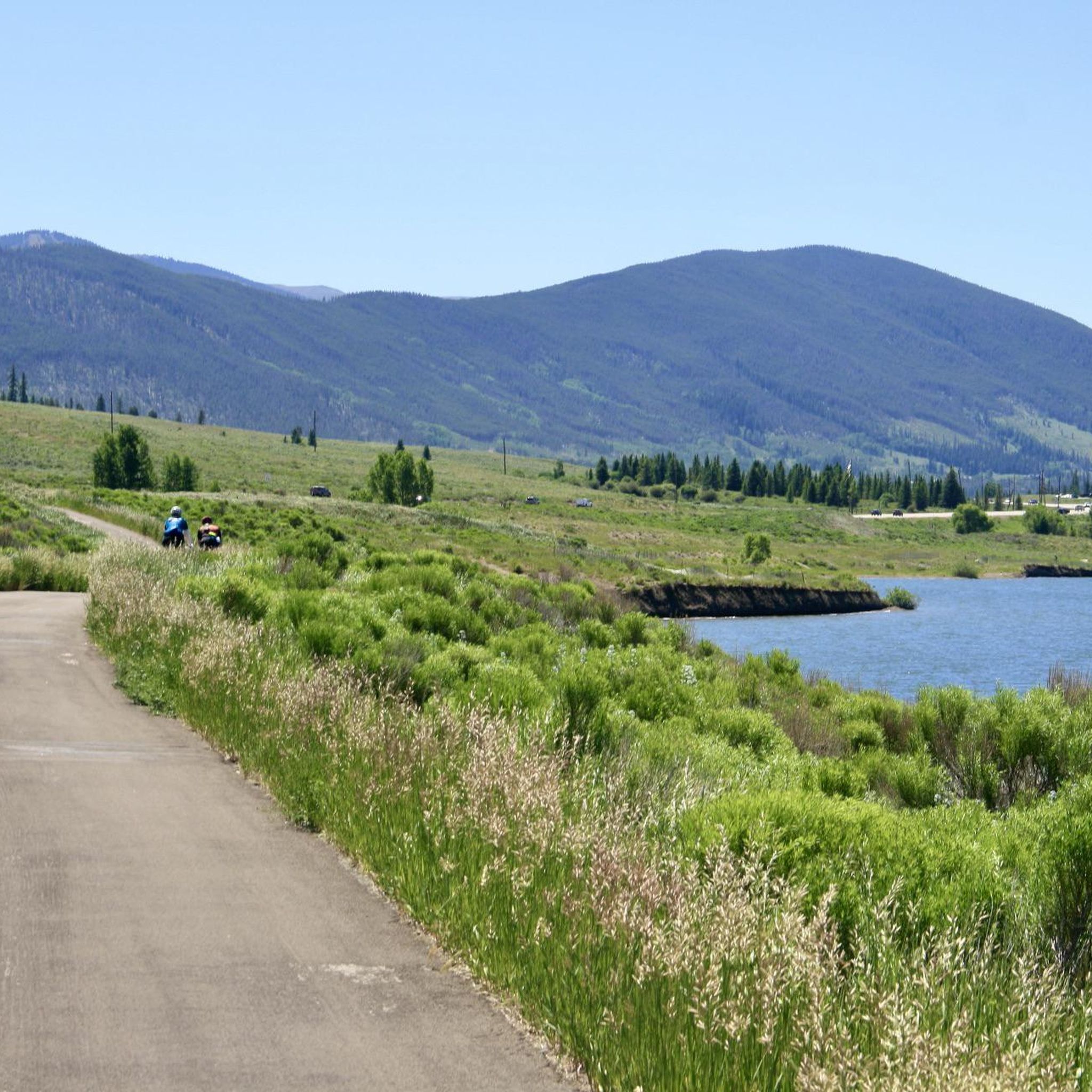
Oro Grande Trail is good for hiking or running or biking for unsecured weather
0
0

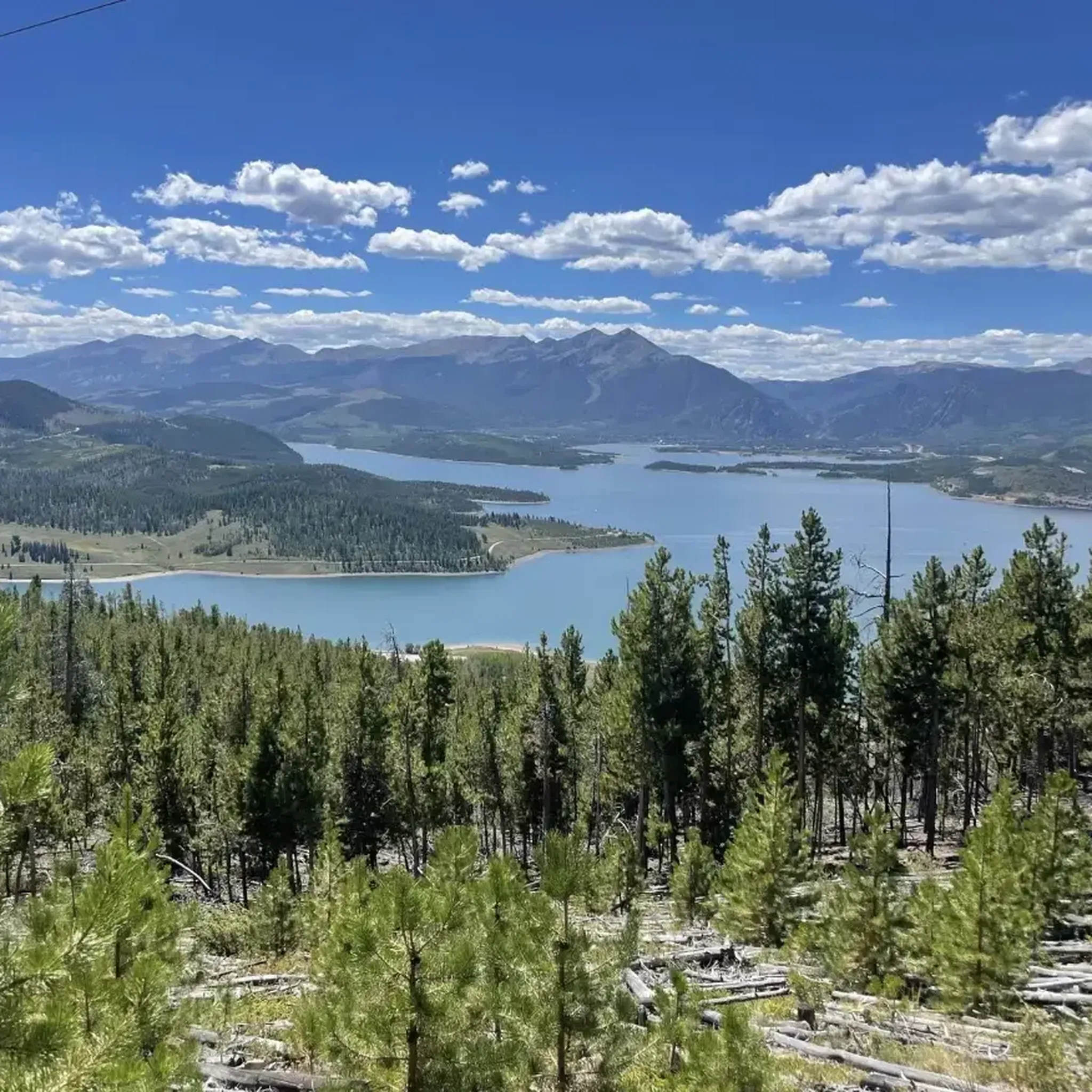
The Tenderfoot trail system offers a great ride for mountain bikers, with shared access for hikers and runners. This spot has some of the best views along the trail of Tenderfoot Mountain area, overlooking Lake Dillon, Frisco, and Silverthorne.
0
0

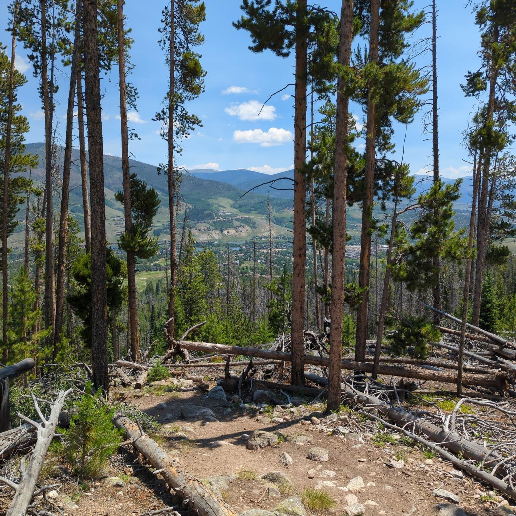
The Tenderfoot trail system is open to hikers, bikers, and trail runners. As you climb higher on the mountain, you start to branch into OHV trail terrain; this spot on the path is before leaving the foot/bike travel trail and offers some of the best views from the Tenderfoot Mountain area overlooking Lake Dillon, Frisco, and Silverthorne.
0
0
One of the lesser visited peaks in the area, Tenderfoot Mountain offers quiet forest walking (except when being passed by ATVs on the upper trails). The summit is usually clear of snow by mid to late June and offers a great challenge. If you are on the run for the views, the lower trails on Tenderfoot Mountain offer better overlooks.
0
0
The Tenderfoot trail system is open to hikers, bikers, and trail runners. As you climb higher on the mountain, you start to branch into OHV trail terrain; this spot on the path is before leaving the foot/bike travel trail and offers some of the best views from the Tenderfoot Mountain area overlooking Lake Dillon, Frisco, and Silverthorne.
0
0
The lower trails at Tender Mountain offer easy singletrack with rewarding views over Lake Dillon. The trails get harder the further you head up the mountain, but some of the best views are at the lower clearings.
0
0
One of the lesser visited peaks in the area, Tenderfoot Mountain offers quiet forest walking (except when being passed by ATVs on the upper trails). The summit is usually clear of snow by mid to late June and offers a great challenge. If you are in the hike for the views, the lower trails on Tenderfoot Mountain offer better overlooks.
0
0
Frequently Asked Questions
Are dogs allowed in the Ptarmigan Peak Wilderness?
Yes, dogs are generally allowed in the Ptarmigan Peak Wilderness. However, they must be kept on a leash at all times to protect wildlife and the natural environment. Always be prepared to pack out any waste.
What is the terrain like on the trails?
The terrain is quite varied and changes with elevation. Hikes typically start in lower-elevation sagebrush meadows and aspen groves, then transition into dense lodgepole pine and spruce-fir forests. As you climb higher, the landscape opens up into expansive alpine tundra, which is often rocky and exposed.
Are there any easy, family-friendly hikes available?
Yes, there are options for easier outings. The Tenderfoot Mountain Trail loop is a great choice. It's a relatively short 3-mile (4.9 km) walk through the White River National Forest that offers a good taste of the area's scenery without a major commitment.
What is the best time of year to hike in Ptarmigan Peak Wilderness?
The prime hiking season is from late June to September. During this time, the trails are typically free of snow, and the high-altitude wildflowers are in bloom. Be aware that afternoon thunderstorms are common in the summer, so it's best to start your hikes early, especially if you're heading above the treeline.
How many hiking trails are in the Ptarmigan Peak Wilderness?
There are over 80 designated routes to explore in and around the Ptarmigan Peak Wilderness. These range from short, easy walks to challenging, full-day summit ascents, offering a wide variety of options for different fitness and experience levels.
Are there any circular or loop hikes?
Yes, the Ptarmigan Loop Trail is a popular circular route. This 7.5-mile (12.1 km) moderate hike takes you through beautiful aspen groves and pine forests with some sustained climbs and rewarding views.
What do other hikers enjoy most about the Ptarmigan Peak Wilderness?
The area is highly regarded by the komoot community. Reviewers frequently praise the sense of solitude on the trails and the spectacular, far-reaching views from the higher elevations, which often include the Gore Range and Dillon Reservoir. The transition through different ecosystems on a single hike is also a commonly highlighted feature.
Can I go backpacking or camping in the wilderness?
Yes, backpacking and dispersed camping are permitted within the Ptarmigan Peak Wilderness. To minimize your impact, it's recommended to use previously established campsites. Remember to follow all Leave No Trace principles and be prepared for cold nights, even in the summer.
What should I pack for a day hike in this area?
For any hike, you should carry the essentials. This includes:
- Plenty of water and snacks
- Layered clothing, as weather can change quickly
- A waterproof and windproof jacket
- Sunscreen, a hat, and sunglasses, as much of the high-altitude terrain is exposed
- A map and compass or a fully charged GPS device
Are there any less strenuous trail options?
For a moderately challenging but rewarding hike that avoids the high peaks, consider the Straight Creek Trail. It's a 6.7-mile (10.8 km) out-and-back route with more gradual elevation gain, making it a good option for a pleasant day out in the forest.
How difficult is it to reach the summit of Ptarmigan Peak?
Reaching the summit of Ptarmigan Peak is a challenging endeavor. The trail is a strenuous, high-elevation hike with significant elevation gain, typically over 3,600 feet. It is recommended only for experienced and well-acclimatized hikers. The reward is incredible 360-degree views from the top.
Where can I find good views without a strenuous summit climb?
Many trails offer fantastic views without requiring you to reach a peak. The Ptarmigan Trail features Tom's Bench, a viewpoint that many hikers consider a destination in itself. It provides incredible vistas and is a worthwhile objective even if you don't continue to the summit.
Most popular routes in Ptarmigan Peak Wilderness

Get inspired with the komoot mobile app


Explore more
Browse the best Hikes in other regions.
